ArcGIS Projections: “Define Projection” and “Project”
Projections can be confusing in ArcGIS Pro. Specifically, the difference between the “Define Projection” and “Project” tools in ArcGIS have completely different functions.
If your shapefile or feature class isn’t where it’s supposed to be, you likely need to run the “Define Projection” tool or the “Project” tool.
So which process do you need to run?
Here is a quick guide highlighting the differences between the ArcGIS Pro “Project” tool and the “define projection” tools.
Project Tool
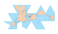
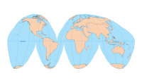
A map projection is a way to portray a curved surface of the Earth on a flat surface. The ArcGIS “Project” tool changes the projected coordinate system of your data to another coordinate system.
For example, you have a dataset that is currently in latitude and longitude. If you want to transform this data into the Universal Transverse Mercator projection, the “Project” tool in ArcGIS should be used in this case.
Changing the projection by right-clicking in ArcGIS Pro will not give the same results as the “Project” tool. You need to run the “Project” tool to change the shapefile. Next time you add the shapefile to ArcGIS Pro, it will be projected accordingly.
PRO TIP: The Project tool changes the projected coordinate system in the shapefile, geodatabase, raster, etc.
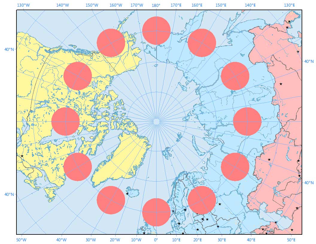
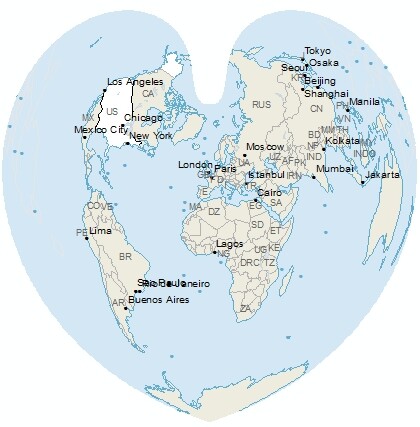
Here’s an example of a Stereographic Projection of the Arctic with Tissot indicatrices.
Define Projection Tool
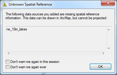
“Define Projection” in ArcGIS is what you use when the data has no defined coordinate system. The ArcGIS error message would look like this: “Unknown Spatial Reference”.
When you run the “Define Projection” tool, the tool does not change the projection. It only changes the metadata describing the current projection of the dataset.
FYI: The metadata that this tool creates is a .prj, .tfw, .aux within your existing dataset.
But the thing is:
You have to know what projection the data is in to run this tool.
All ArcGIS Projection Tools Are Not Created Equal
“Define projection” changes the metadata for the protection that is associated with the file. The ArcGIS Project tool changes the physical coordinate system in the spatial file.
It’s important to know when to use each tool in an ArcGIS project. Although ArcGIS projections can be confusing at times, we hope this guide gives some clarity to projections in ArcGIS.
Now, give it a try yourself.
And give this post some love by sharing it with your friends.
Summary
Here’s a short summary of what you’ve learned today.


If my data has no defined coordinate system. The ArcGIS error message would look like: “Unknown Spatial Reference”. In the next step, I use Define Projection Tool to give it a coordinate system (WGS_1984_UTM_Zone_47N). This creates a .prj, .tfw, .aux within my existing dataset.
My question
Next step, I run the Project tool in order to change the shapefile (output coordinate system WGS_1984_UTM_Zone_47N).
So if you add your data in ArcMap and get ‘unknown spatial reference’, does it end up in the correct location? You can add another data set and check where your data is located. If it’s in the right location, then you should run ‘define projection’ and there’s nothing else you have to do.
But let’s say you have another data set with a different coordinate system… you can use the ‘project’ tool to change your data set to the other coordinate system. This may mean you’ll have to do a datum transformation. Esri will project data ‘on the fly’ according to the first shapefile or geodatabases added in that data frame.
Hope that helps