33 Map Elements to Include in Cartographic Design
This guide is like your compass – these 33 mapping tips will guide you in the right direction and show you how to create stunning cartographic maps.

This guide is like your compass – these 33 mapping tips will guide you in the right direction and show you how to create stunning cartographic maps.
North American Datum of 1983 (NAD83) is 2-meters from geocentric and uses thousands of monuments with triangulation to create a reference frame for Earth
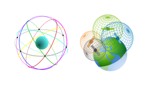
The World Geodetic System 1984 (WGS84) is a spatial reference system of GPS satellites with an error of less than 2 cm to the center of Earth.
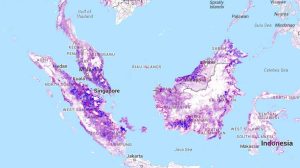
Satellite and mapping technologies tell a story of our trees and forests. These 4 global forest maps will help you start seeing the forest for the trees.
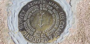
If you’re serious about geocaching, than you’ve probably heard of benchmark hunting. A survey benchmark is a disk in the ground with a latitude & longitude.
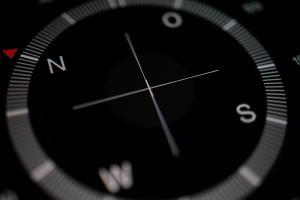
The Magnetic North Pole is a point in Northern Canada where the northern lines of attraction enter the Earth. Compass needles point to the magnetic north.
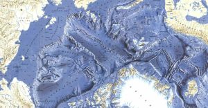
Mineral extraction, natural gas as well as potential shipping routes. These Arctic Maps display one of the last great frontiers for human development.
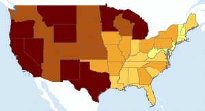
Quantile classification divides classes so that the total number of features in each class are approximately the same (which is useful for showing rankings)

This is one of the most comprehensive lists of global transportation maps on the planet. Whether it’s planes, trains or automobiles, you’ll love this guide.
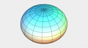
Reference ellipsoids (ex. Clarke Ellipsoid) are smooth, mathematical models of the Earth’s shape. It has a semi-major and minor axis flattened at the poles.