What Is Selective Availability in GPS?
When selective availability was enabled, this added 50 meters of error horizontally and 100 meters vertically to GPS signals.

When selective availability was enabled, this added 50 meters of error horizontally and 100 meters vertically to GPS signals.

Dark object subtraction, radiative transfer models and atmospheric modelling are common techniques used to for atmosphere correction in remote sensing.
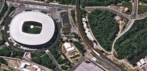
The agile Pleiades satellite constellation is comprised of Pleiades 1A and 1B. They offer dynamic image acquisition at 50cm panchromatic & 2m multispectral.

SPOT-1 (Satellite Pour l’Observation de la Terre) was a French commercial satellite launched in 1986 initiated by the French Space Agency (CNES).
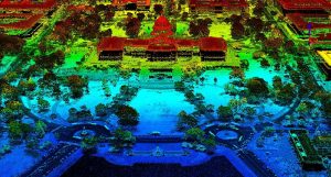
How would you like to wave your magic wand and find out how far everything is away from you? No magic wands necessary. This is how LiDAR works.

Imagine being able to rewind forty years back in time. For any given place and time. Then, see how much it’s changed. You can through the Landsat Program!

Active sensors illuminates its target and measures that reflected backscatter to the sensor. Passive sensors measure natural energy from the sun.

This list of earth-shattering remote sensing applications will change the way you feel about how this industry is changing our world and the way we think.

Multispectral vs Hyperspectral imagery. Hyperspectral contains hundreds of narrow bands. Multispectral usually consists of only 3 to 10 wider bands.
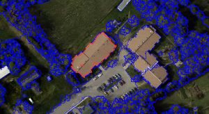
Object-based Image Analysis (OBIA) segments an image by grouping pixels together into vector objects. Using these objects, you classify as land cover types.