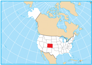
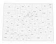
Colorado County Map
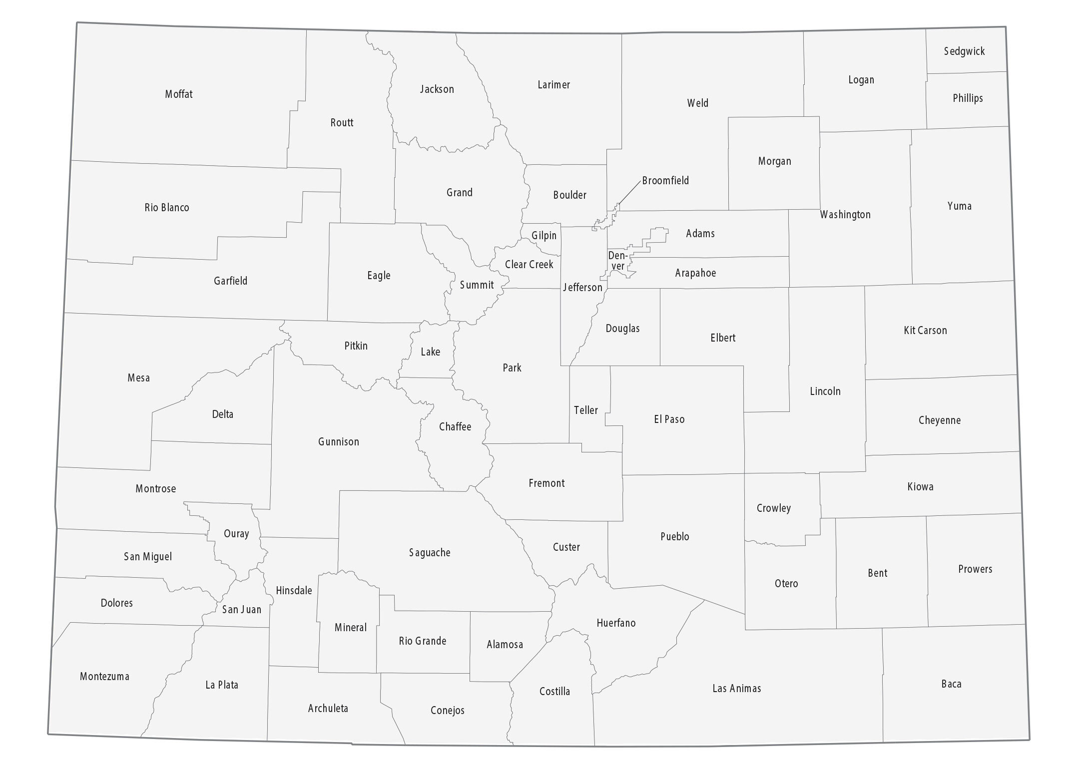
About the map
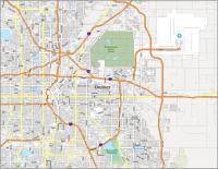
This Colorado county map displays its 64 counties. For example, Denver, El Paso, and Arapahoe are the most populated in the state of Colorado.
In terms of size, Las Animas, Moffat, and Weld County are the largest in area. But Broomfield, Gilpin, and Denver County are some of the smallest counties in all of the United States.
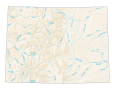
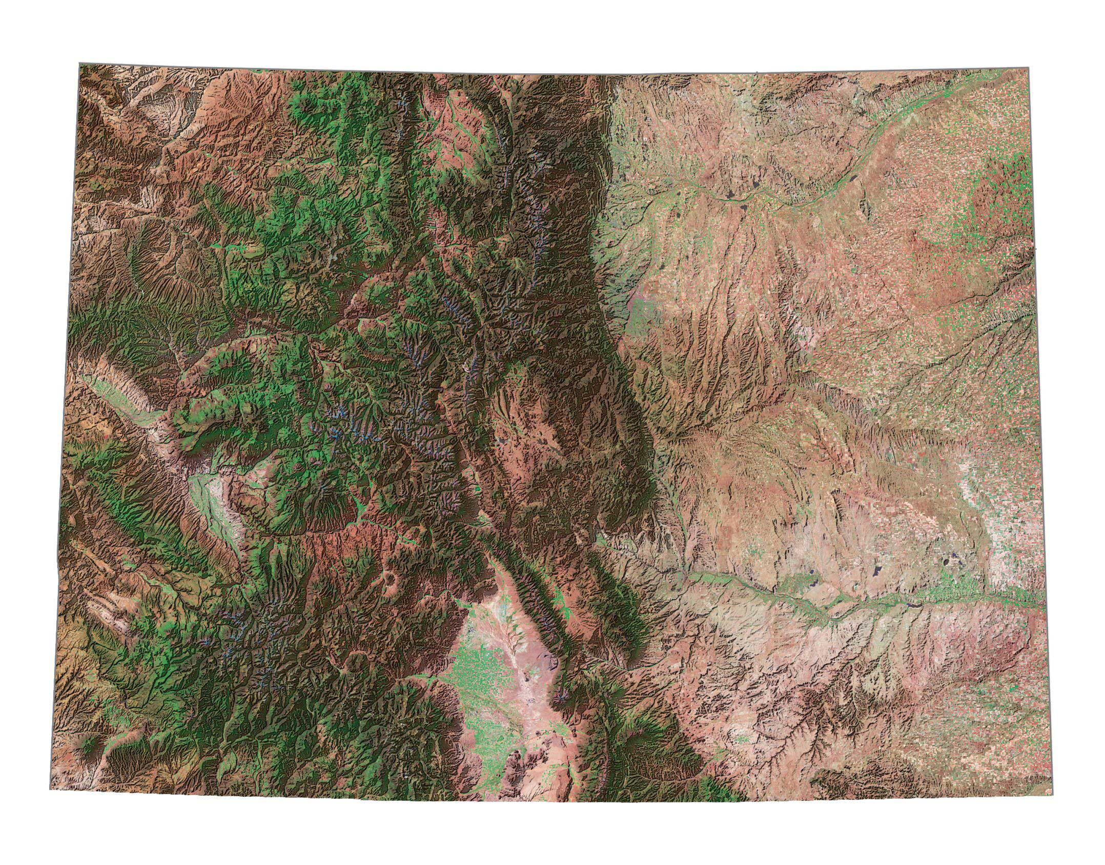
Mount Elbert is one of the highest summits in Colorado at 14,440′ and is part of the Rocky Mountains. This summit is in Lake County, confusingly just south of Summit County. As people pile rocks on Mount Massive, this summit also contends as one of the highest. Similar to Mount Elbert, it’s also part of Lake County.
You are free to use our county map of Colorado for educational and commercial uses. Attribution is required. How to attribute?
Colorado county list
| FIPS Code | Name | Land (sq mi) | Water (sq mi) | Population (2024) |
|---|---|---|---|---|
| 08-001 | Adams County | 1166.3 | 17.2 | 542,973 |
| 08-003 | Alamosa County | 722.6 | 0.7 | 16,689 |
| 08-005 | Arapahoe County | 797.9 | 7.5 | 666,918 |
| 08-007 | Archuleta County | 1350.1 | 5.3 | 14,112 |
| 08-009 | Baca County | 2555.0 | 2.4 | 3,367 |
| 08-011 | Bent County | 1512.8 | 28.2 | 5,779 |
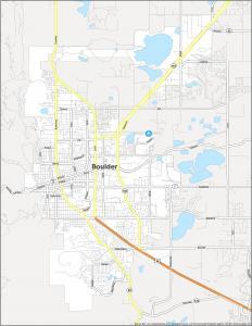
| 08-013 | Boulder County | 726.4 | 14.1 | 330,262 |
| 08-014 | Broomfield County | 33.0 | 0.5 | 78,323 |
| 08-015 | Chaffee County | 1013.4 | 1.5 | 20,780 |
| 08-017 | Cheyenne County | 1778.3 | 3.2 | 1,712 |
| 08-019 | Clear Creek County | 395.2 | 1.3 | 9,076 |
| 08-021 | Conejos County | 1287.4 | 3.6 | 7,549 |
| 08-023 | Costilla County | 1227.6 | 3.4 | 3,686 |
| 08-025 | Crowley County | 787.4 | 12.9 | 5,600 |
| 08-027 | Custer County | 738.6 | 1.3 | 5,553 |
| 08-029 | Delta County | 1142.1 | 6.5 | 32,215 |
| 08-031 | Denver County | 153.3 | 1.6 | 729,019 |
| 08-033 | Dolores County | 1067.2 | 1.0 | 2,467 |
| 08-035 | Douglas County | 840.2 | 2.6 | 393,995 |
| 08-037 | Eagle County | 1684.5 | 7.3 | 54,330 |
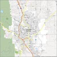
| 08-041 | El Paso County | 2126.8 | 2.7 | 29,382 |
| 08-039 | Elbert County | 1850.8 | 0.2 | 752,772 |
| 08-043 | Fremont County | 1533.1 | 0.9 | 50,093 |
| 08-045 | Garfield County | 2947.5 | 8.3 | 63,167 |
| 08-047 | Gilpin County | 149.9 | 0.4 | 5,963 |
| 08-049 | Grand County | 1846.4 | 23.1 | 16,154 |
| 08-051 | Gunnison County | 3239.1 | 20.5 | 17,310 |
| 08-053 | Hinsdale County | 1117.2 | 5.9 | 747 |
| 08-055 | Huerfano County | 1591.0 | 2.2 | 6,988 |
| 08-057 | Jackson County | 1613.7 | 7.2 | 1,273 |
| 08-059 | Jefferson County | 764.3 | 9.8 | 578,533 |
| 08-061 | Kiowa County | 1767.8 | 18.2 | 1,392 |
| 08-063 | Kit Carson County | 2160.8 | 0.9 | 7,080 |
| 08-067 | La Plata County | 1689.8 | 9.8 | 7,369 |
| 08-065 | Lake County | 376.9 | 7.0 | 56,823 |
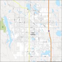
| 08-069 | Larimer County | 2595.8 | 38.2 | 374,574 |
| 08-071 | Las Animas County | 4772.9 | 2.7 | 14,518 |
| 08-073 | Lincoln County | 2577.7 | 8.8 | 5,598 |
| 08-075 | Logan County | 1838.6 | 6.3 | 20,755 |
| 08-077 | Mesa County | 3328.9 | 12.1 | 161,260 |
| 08-079 | Mineral County | 875.8 | 2.0 | 933 |
| 08-081 | Moffat County | 4743.2 | 7.6 | 13,142 |
| 08-083 | Montezuma County | 2029.3 | 10.5 | 26,841 |
| 08-085 | Montrose County | 2240.9 | 1.9 | 44,806 |
| 08-087 | Morgan County | 1280.5 | 13.4 | 30,300 |
| 08-089 | Otero County | 1261.9 | 7.8 | 17,991 |
| 08-091 | Ouray County | 541.6 | 0.6 | 5,197 |
| 08-093 | Park County | 2193.9 | 16.8 | 18,316 |
| 08-095 | Phillips County | 687.9 | 0.1 | 4,488 |
| 08-097 | Pitkin County | 970.7 | 2.5 | 16,643 |
| 08-099 | Prowers County | 1638.4 | 5.9 | 11,957 |
| 08-101 | Pueblo County | 2386.1 | 11.7 | 169,866 |
| 08-103 | Rio Blanco County | 3221.0 | 1.9 | 6,607 |
| 08-105 | Rio Grande County | 912.0 | 0.4 | 11,132 |
| 08-107 | Routt County | 2362.0 | 6.1 | 25,243 |
| 08-109 | Saguache County | 3168.6 | 1.7 | 6,670 |
| 08-111 | San Juan County | 387.5 | 0.8 | 821 |
| 08-113 | San Miguel County | 1286.7 | 2.0 | 7,819 |
| 08-115 | Sedgwick County | 548.0 | 1.4 | 2,257 |
| 08-117 | Summit County | 608.3 | 10.9 | 30,882 |
| 08-119 | Teller County | 557.0 | 1.9 | 24,862 |
| 08-121 | Washington County | 2518.1 | 5.9 | 4,771 |
| 08-123 | Weld County | 3986.0 | 30.7 | 369,745 |