4 Weather Data Sources for GIS
Download weather data for North America
Today, we look at the best sources for GIS weather data in North America.
Because we see the weather on maps almost every day, it’s GIS that propels these visualizations.
But first, you’ll need help with where to find the data.
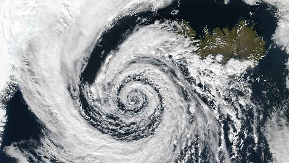
Because it’s always raining somewhere on Earth, let’s make it rain with these GIS weather data sources.
1. NOAA’s National Weather Service (NWS)

Since 1870, the National Weather Service has provided meteorological observations for military stations and the seacoast. Their 150+ years of experience have improved their ability to forecast weather and record meteorological events.
NWS GIS data are mostly available in shapefile and keyhole markup language (KML). Their GIS weather data include:
The NWS also has a large database of historical data (all the way back to 1950) with precipitation and weather/climate data. There is also an option to attain Doppler radar with RIDGE images.
2. Meteorological Simulation Data Ingest System (MADIS)

MADIS stands for Meteorological Simulation Data Ingest System. It’s kind of like an extension of NOAA because it integrates data from multiple stations including federal, state, universities, volunteers, and the private sector.
By combining data from multiple sources, it translates into a finer density and higher frequency data set. The MADIS GIS weather data contains real-time and observational data for:
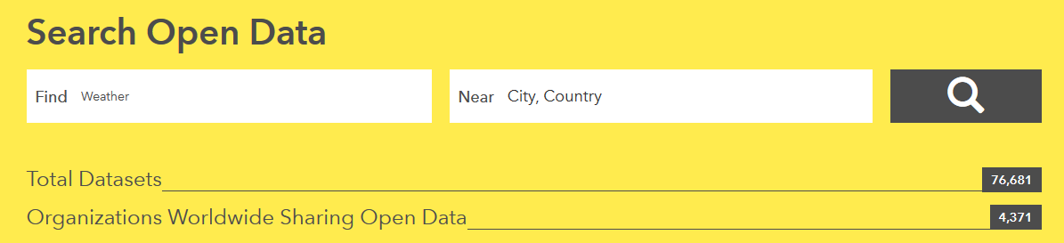
3. Esri Open Data Portal
Here’s the good news:
Esri has a lot of free GIS data specifically for the weather. And it’s all in one easy search in the Esri Open Data Hub.
Now, here’s the bad news:
There’s actually so much data that you will have a hard time making sense of it all. From hurricanes to cyclones to plain old weather patterns… the Esri Open Data Portal has hundreds of data sets with varying degrees of quality.
It’s a growing community for open data. But it’s not only weather-related.
4. PRISM

PRISM stands for Parameter-elevation Regressions on Independent Slopes Model. This program uses point measurements of precipitation, temperature, other climate factors, and a digital elevation model. On top of that, it uses expert knowledge to build a continuous climate model grid.
It’s described on their website that PRISM products “are recognized worldwide as the highest-quality spatial climate data sets currently available”.
Weather Data Everywhere
If you require some high-quality weather data for your GIS project, take a look at some of the sources listed above.
There is an abundance of sources to choose from for weather data in the United States to suit your data needs and requirements.
Available downloadable products include precipitation, average max/min temperature, average dew point, and percent of normal precipitation.
NOAA, MADIS, Weather Source, and PRISM are some of the best options available in GIS format.


Very relevant data for GIS approaches