Map of Hawaii – Islands and Cities

About the map
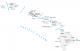
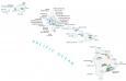
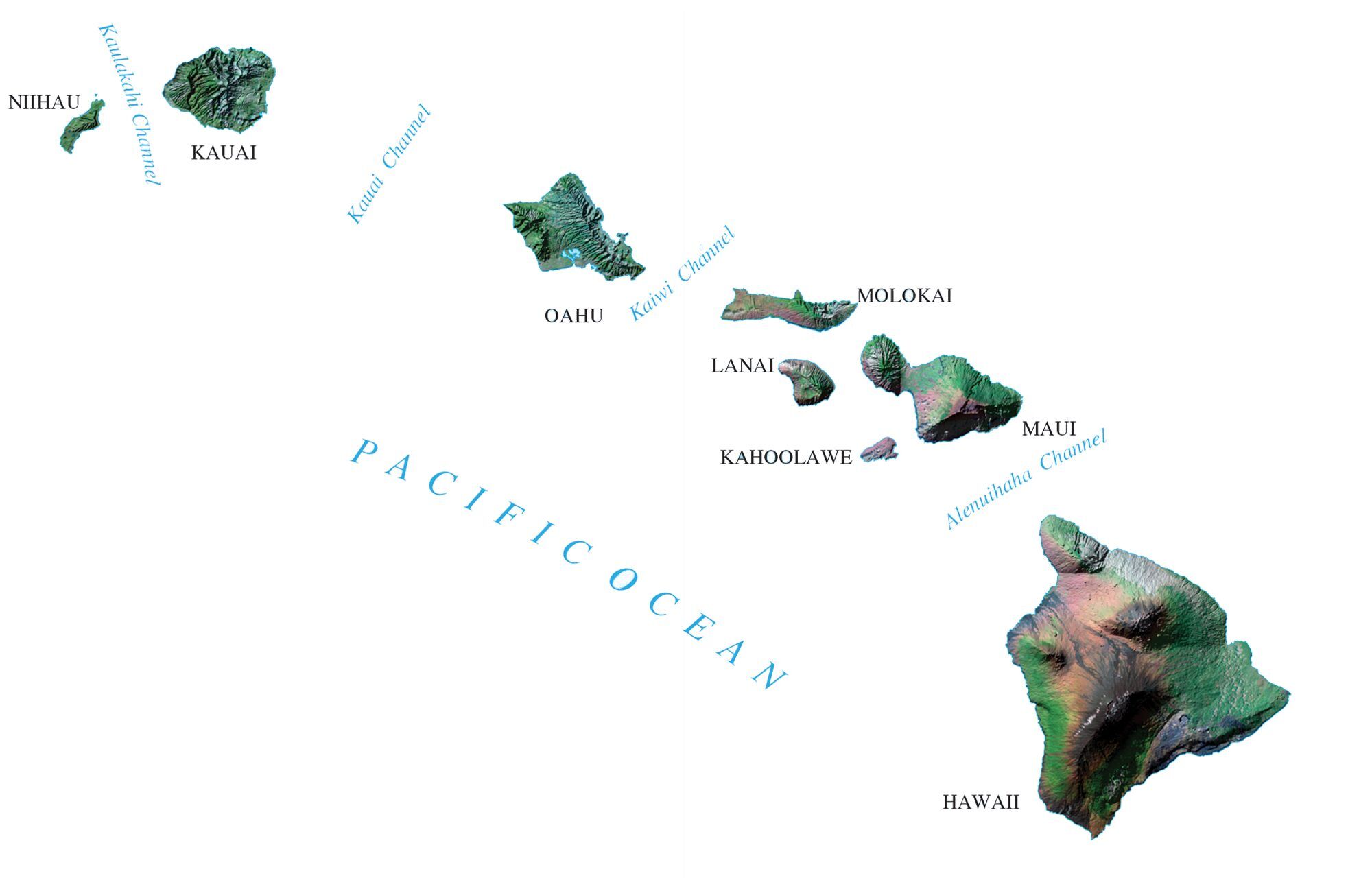
This Hawaii map displays the islands, cities, and channels of Hawaii. Honolulu, Pearl City, and Hilo are some of the major cities shown on this map of Hawaii.
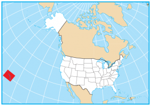
In fact, the Hawaiian Islands are an archipelago consisting of eight major islands such as Oahu, Maui, and Kauai. Kahoolawe, Lānai, Molokai, Niihau, and the island of Hawaii are the remaining major islands.
Hawaii is famous for hula, surfing, and pineapples. It’s also known for being a living museum for volcanoes with lava tubes and active volcanoes scattered across each island. From whale watching to snorkeling, there are lots of fun traveling ideas and excursions in the state of Hawaii.
Hawaii map collection
You are free to use our map of Hawaii for educational and commercial uses. Attribution is required. How to attribute?
State capital
Honolulu
Islands in Hawaii
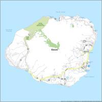
Hawaii
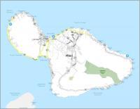
Maui
Kahoolawe
Lanai
Molokai
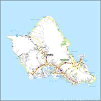
Oahu
Kauai
Niihau
Major cities and towns
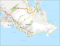
Honolulu
Hilo
Pearl City
Kailua
Kaneohe
Captain Cook
Hawi
Honokaa
Hana
Kapaa
Kekaha
Lanai City
Maunaloa
Pahala
Pahoa
Puuwai
Waimea
Lihue
Haleiwa
Waialua
Laie
Kailua
Lahaina
Wailuku
Kahului
Kalaupapa
Kaunakakai
Wahiawa
Mountain View
Hanalei
Channels and water features
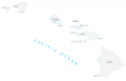
Pacific Ocean
Kaulakahi Channel
Kauai Channel
Kaiwi Channel
Alenuihaha Channel
Landmarks in Hawaii
Ka Lae
Cape Kumukahi
Upolu Pt
Mauna Kea Volcano
Mauna Loa Volcano
Red Hill
Waialeale Volcano