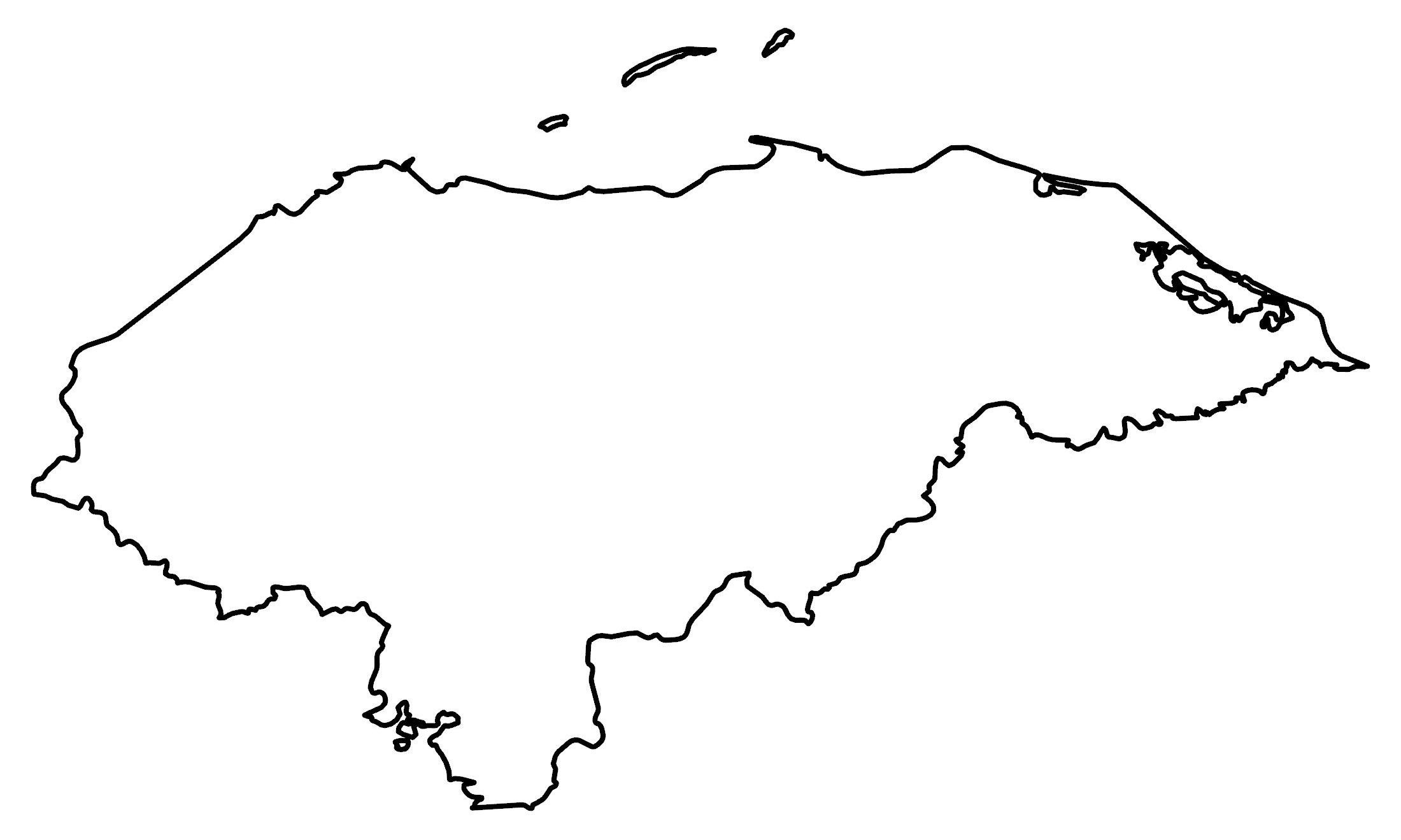
Map of Honduras
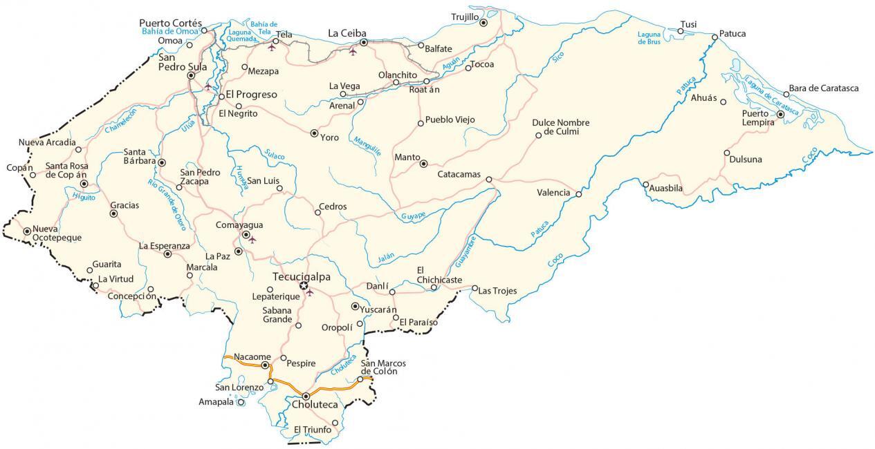
This Honduras map contains places, highways, imagery, and elevation for the country located in Central America in the Caribbean Sea and the Pacific Ocean.
Honduras map collection
About the map
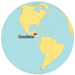
Honduras is a country located in Central America in the Caribbean Sea and the Pacific Ocean. It’s known for its Mayan ruins, natural resources, and barrier reefs. Honduras borders just three countries. This includes Guatemala to the northwest, El Salvador to the west, and Nicaragua to the southeast.
Also, it shares an 832 kilometers (517 mi) coastline with the Caribbean Sea and the Pacific Ocean by the Gulf of Fonseca. In total, it has a population of approximately 10 million people. Over one-tenth of Honduran people live in the capital city of Tegucigalpa.
You are free to use our Honduras map for educational and commercial uses. Attribution is required. How to attribute?
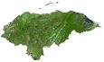
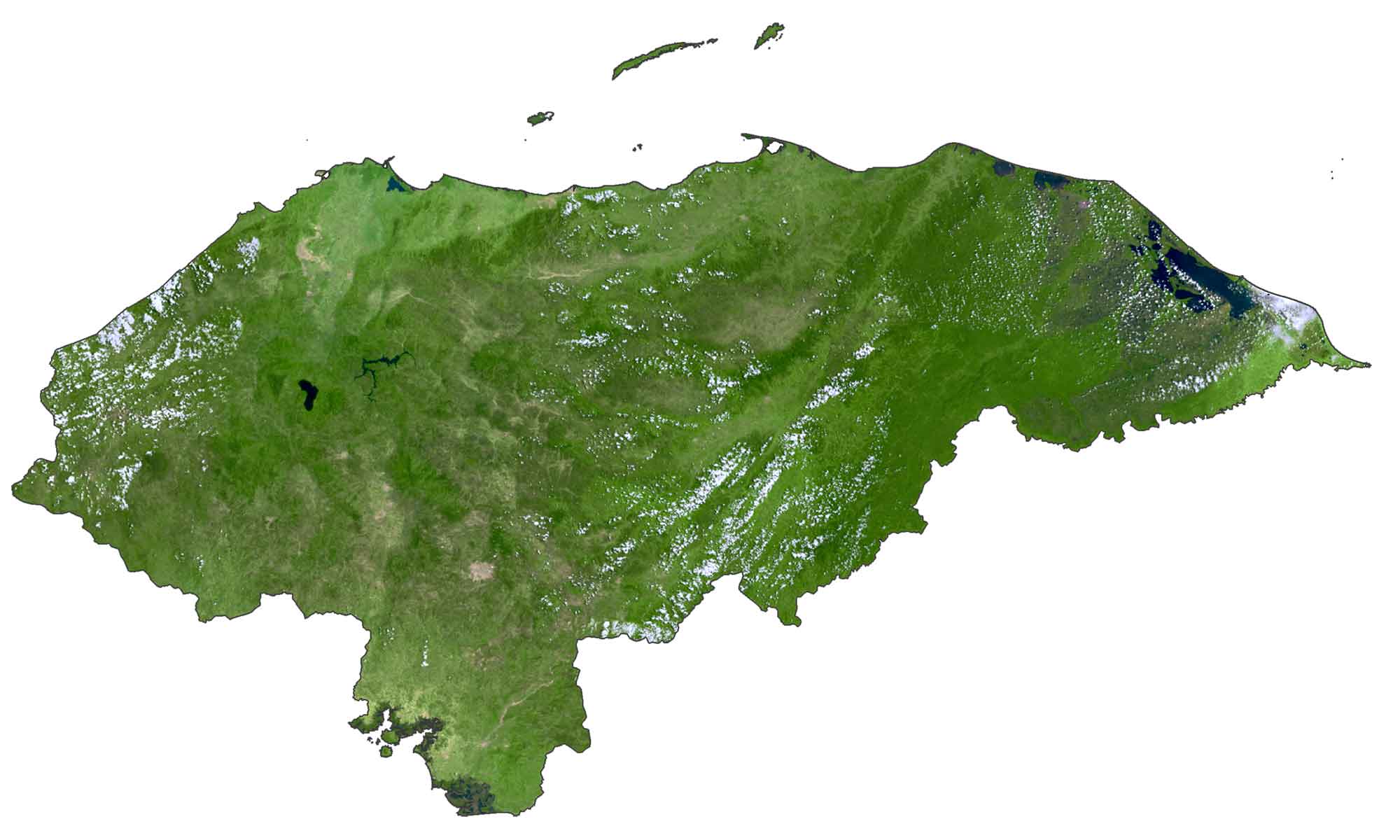
SATELLITE IMAGERY
Honduras Satellite Map
Honduras occupies an area of 112,492 square kilometers (43,433 sq mi), which makes the country larger than Guatemala but smaller than Nicaragua. According to the FAO, forests cover 46.4% of Honduras with 30% of land dedicated to agriculture production.
One of the largest, contiguous rainforests in Latin America can be found along the border of Honduras and Nicaragua in the Mosquitia Coast region. The longest rivers in Honduras are the Coco, Patuca, and Lempa Rivers. But Lake Yojoa is the country’s largest inland lake.
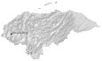
PHYSICAL MAP
Honduras Elevation Map
Honduras has a rugged topography and is one of the most mountainous in Central America. While the northern region contains the Caribbean lowlands, the southern region is more mountainous with the Sierra Madre de Chiapas range.
Within this range, Cerro Las Minas is situated in the west of Honduras. At 2,870 m (9,420 ft), it’s the highest peak in Honduras. Another major mountain chain is the Sierra la Esperanza, which spans the interior of the country.

Capital City
Tecucigalpa
Major cities and towns
Choluteca
Comayagua
Gracias
La Esperanza
La Paz
Manto
Nacaome
Nueva Ocotepeque
Puerto Lempira
San Pedro Sula
Santa Bárbara
Santa Santa Rosa de Copán
Trujillo
Yoro
Yuscarán
Cities, towns and villages
Ahuás
Amapala
Arenal
Auasbila
Balfate
Bara de Caratasca
Catacamas
Cedros
Choluteca
Concepción
Copán
Danlí
Dulce Nombre de Culmi
Dulsuna
Εl Chichicaste
El Negrito
El Paraíso
El Progreso
El Triunfo
Guarita
La Ceiba
La Vega
La Virtud
Las Trojes
Lepaterique
Marcala
Mezapa
Nueva Arcadia
Olanchito
Omoa
Oropolí
Patuca
Pespire
Pueblo Viejo
Puerto Cortés
Roatán
Sabana Grande
San Lorenzo
San Luis
San Marcos de Colón
San Pedro Zacapa
Tela
Tocoa
Tusi
Valencia
Lakes, rivers and creeks
Aguán River
Bahía de Omoa
Bahía de Tela
Chamelecón River
Coco River
Guayambre River
Guyape River
Higuito River
Humuya River
Jalán River
Laguna de Brus
Laguna de Caratasca
Laguna Quemada
Mangulile River
Patuca River
Río Grande de Otoro
Sico River
Sulaco River
Ulúa River