Horn of Africa Map Collection
Today, we’ll provide you with our Horn of Africa map collection. Each map is free to download and use for any purpose.
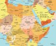


Get familiar with the Horn of Africa using our map collection and explore the diversity across Ethiopia, Somalia, Eritrea, and Djibouti.
You are free to use our maps of the Horn of Africa for educational and commercial uses. Attribution is required. How to attribute?
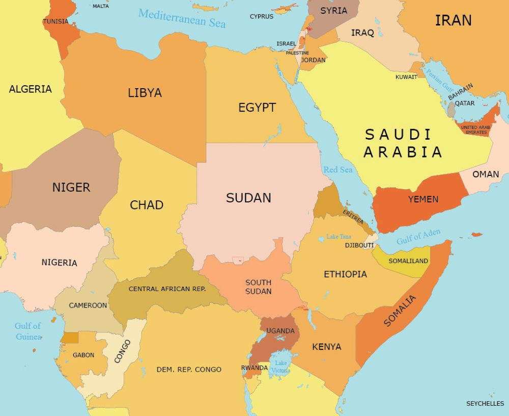
Horn of Africa Detailed Map
This detailed map delineates this peninsula in Northeast Africa. The Horn of Africa juts into the Arabian Sea and lies along the southern side of the Red Sea. It includes the countries of Ethiopia, Eritrea, Djibouti, and Somalia.
Some key features on this map are countries, cities, capitals, lakes, rivers, seas, and gulfs. You’ll also find key features like plateaus, deserts, and other geographic entities.

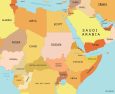
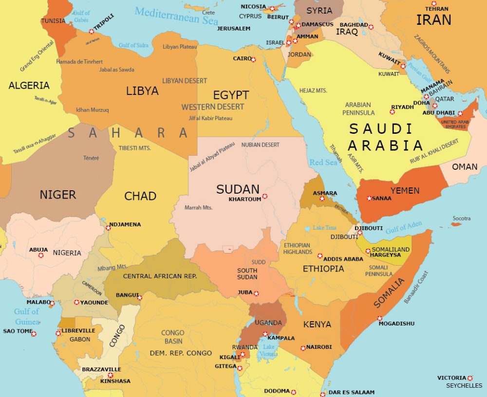
Horn of Africa Simple Map
As the name implies, this simple map shows the basic geography of the Horn of Africa such as countries and their borders.
This basic map provides a simple overview of this geographic region in northeast Africa. Rivers are excluded, but lakes remain on this map.
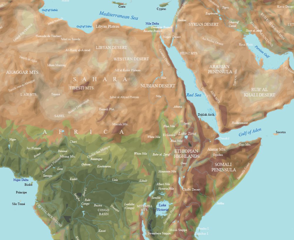
Physical Map of the Horn of Africa
Our physical map of the Horn of Africa highlights important geographical features such as the Ethiopian Highlands, the Somali Peninsula, and the coastline along the Red Sea and the Indian Ocean.
Significant rivers include the Blue Nile, Omo, and the Atbara River. You’ll also find large lakes such as Lake Tana and Lake Victoria to the south.
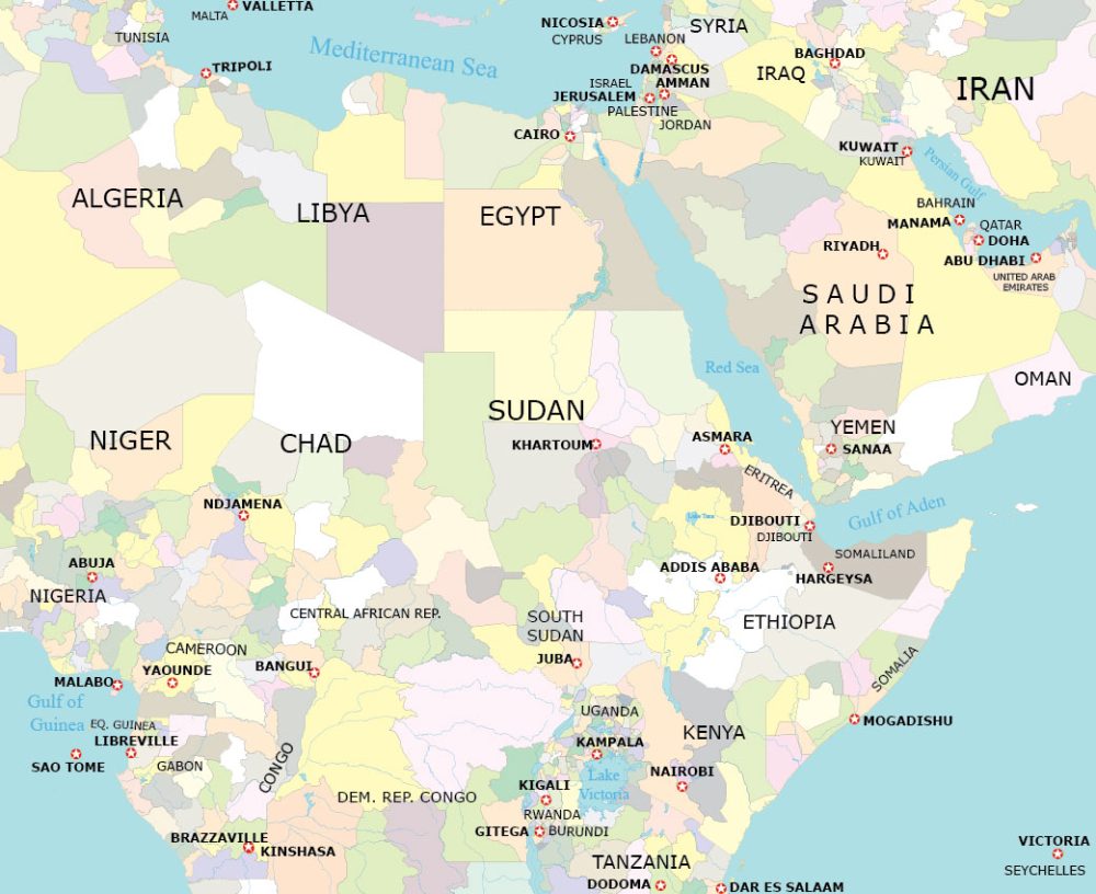
Administration Map of the Horn of Africa
Explore the political landscape for the countries that surround the Horn of Africa with our administrative map.
Spanning Ethiopia, Eritrea, Djibouti, and Somalia, this map helps understand capital cities and important administrative divisions.
Horn of Africa Capitals City Map
This map is designed to display capital cities in the Horn of Africa region. You can think of each one as the political center of each country.
You’ll find major capital cities like Addis Ababa (Ethiopia), Mogadishu (Somalia), Asmara (Eritrea), and Djibouti City (Djibouti).
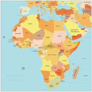
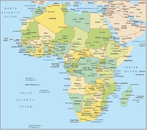
World Atlas of Africa
Get to know the continent of Africa in more detail. Our world atlas is one of the leading sources of mapping and cartography. Click on the map below to find more details about a country.


Horn of Africa Countries
The “Horn of Africa” is in the easternmost corner of Africa. Africa is a roughly triangular-shaped continent. If you look at its eastern side, near the top, you’ll see it kind of sticks out like a horn. That’s why it’s called the “Horn of Africa”.
This area includes countries like Somalia, Ethiopia, Eritrea, and Djibouti. It’s surrounded by the Red Sea and the Indian Ocean. Because of this coastal area, it’s an important spot for ships passing through. Finally, the Horn of Africa is known for its unique landscapes, which include deserts, mountains, and a long coastline.
| Country | Geographic Description |
|---|---|
| Somalia | Located on the easternmost point, with a long Indian Ocean coastline and arid interior. |
| Ethiopia | Landlocked, diverse terrain with highlands, plateaus, and part of the Great Rift Valley. |
| Eritrea | Borders the Red Sea, featuring coastal desert and highland regions. |
| Djibouti | Small nation on the Bab-el-Mandeb Strait, with a mix of volcanic formations and desert plains. |
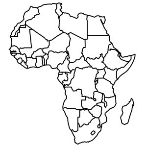
Atlas of Africa
Looking for a map of Africa? Our collection of African maps includes various types, such as detailed physical maps, country outlines, and simple overviews of the continent. To view these, simply click on any of the maps below.