Map of Japan – Cities and Roads
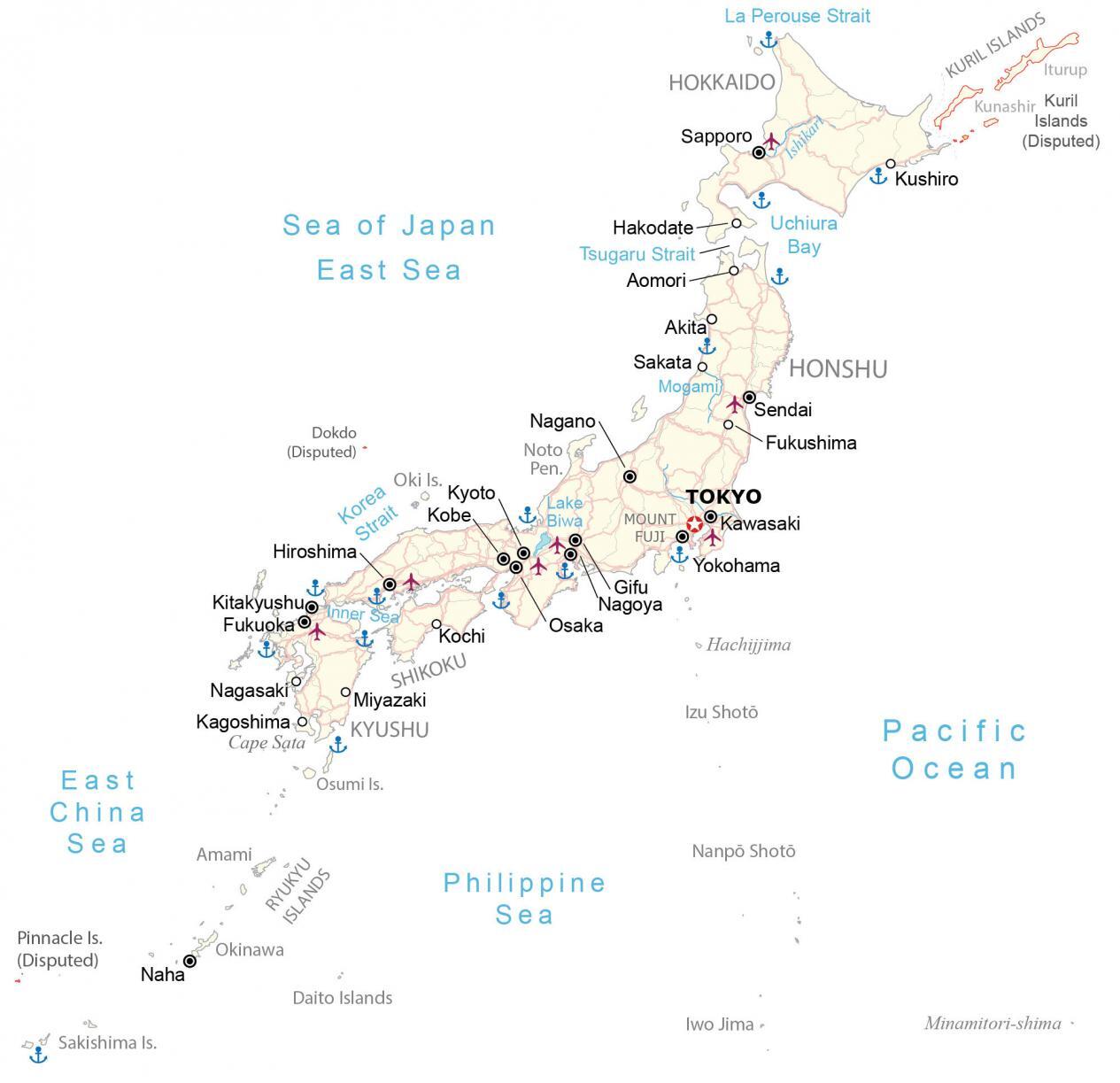
A map of Japan that features its major cities, highways, and islands. It includes a satellite and elevation map to see its mountainous terrain and imagery throughout Japan.
Japan map collection

You are free to use our Japan map for educational and commercial uses. Attribution is required. How to attribute?
About the map
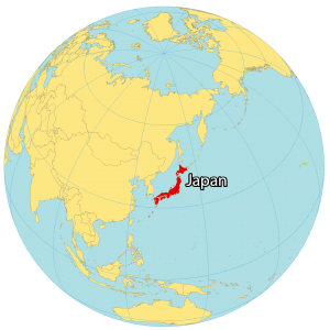
Japan is a chain of islands located in Eastern Asia in the North Pacific Ocean. There are an estimated 6,800 islands in the entire archipelago of Japan. But its 4 main islands are Honshu, Kyushu, Hokkaido, and Shikoku.
First, Honshu is home to major cities like Tokyo (Japan’s capital and largest city), Yokohama, Osaka, Kyoto, and Kobe. Secondly, Kyushu is its southwesternmost main island situated near the Korean Peninsula (South Korea).
Next, Hokkaido is the northernmost main island known for its colder climate. Finally, Shikoku is the smallest of the four main islands and is separated by the Inner Sea from the rest of Japan. But some consider Okinawa as the fifth main island, which has a more tropical climate.
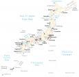
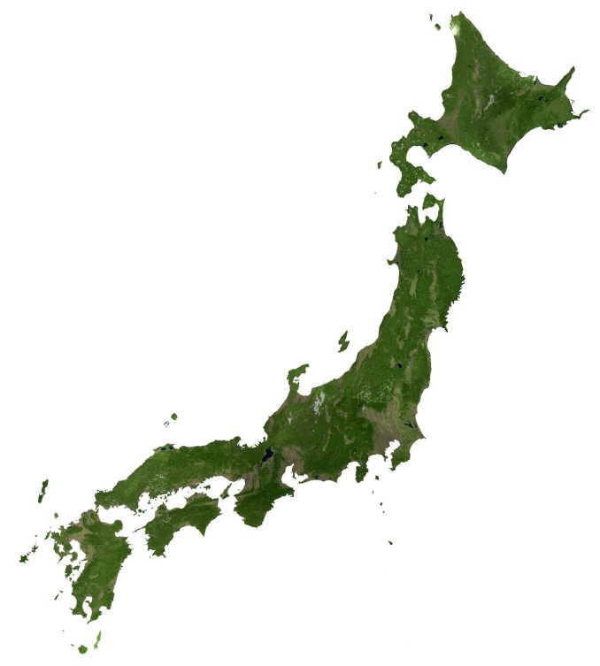
SATELLITE IMAGERY
Japan Satellite Map
Japan occupies an area of 377,975 square kilometers (145,937 sq mi), which makes it about 3.7 times larger than South Korea. Vast amounts of forests cover Japan’s mountainous landscape. Because it’s difficult to develop its rugged terrain, forests span about 68.5% of Japan mostly untouched.
Lake Biwa is Japan’s largest freshwater lake, which is over 4 million years old. Depending on the location, the climate varies tremendously in Japan. But in general, climate transitions from tropical in the south, to cool in the north.
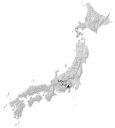
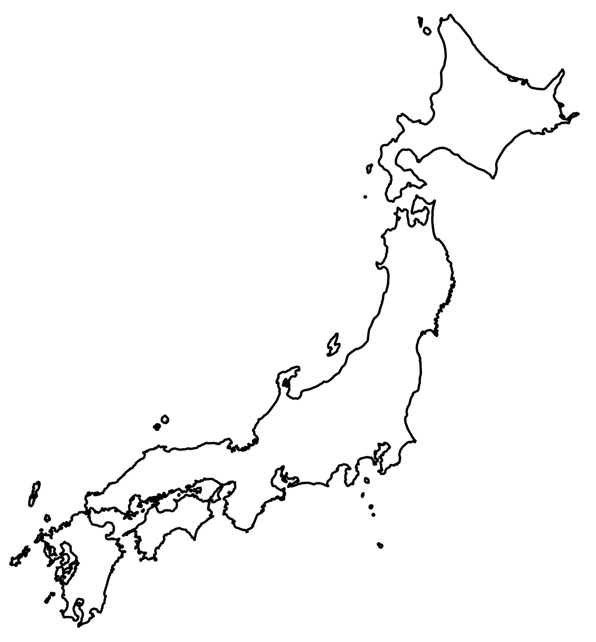
PHYSICAL MAP
Japan Elevation Map
The terrain in Japan is very rugged with mountain ranges spanning each of its main Islands In fact, it’s estimated that approximately 73% is mountainous. But the Kanto Plain in Honshu is the most extensive lowland area in Japan.
Because of its terrain, it holds most of Japan’s largest cities like Tokyo, Yokohama, and Kawasaki. Nearby though, you can view its most iconic mountain and dormant volcano, Mount Fuji. At 3,776 meters (12,388 ft) in height, this is Japan’s highest peak.

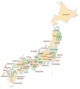
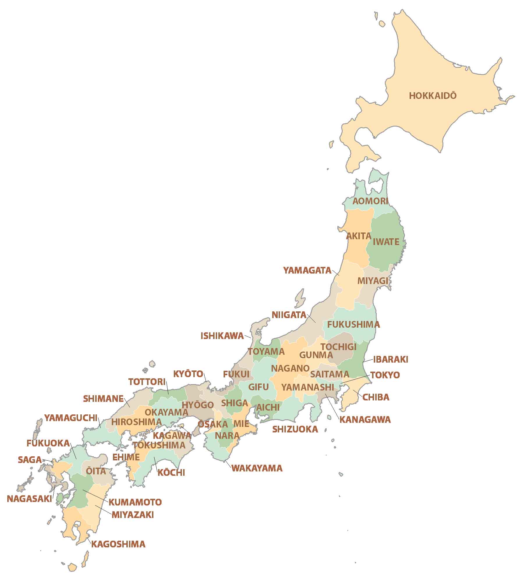
POLITICAL MAP
Japan Prefecture Map
There are 47 prefectures in Japan, which serve as the first-level administration unit. While two of them are city prefectures (Osaka and Kyoto), one of them is a territory prefecture (Hokkaido). The remaining 43 are proper prefectures that can contain cities, towns, and villages.
Each prefecture in Japan has an elected governor. The central government has the main control over prefectures. But prefectures retain power with functions such as education, police, and regional planning. After prefectural divisions, the second-level administration unit is subprefectures followed by municipal divisions.
Capital City
Tokyo
Major cities
Fukuoka
Kawasaki
Kyoto
Kobe
Nagoya
Osaka
Sapporo
Yokohama
Major islands
Hokkaido
Honshu
Kyushu
Shikoku
Okinawa
Other cities and towns
Akita
Aomori
Fukushima
Gifu
Hakodate
Hiroshima
Kagoshima
Kitakyushuo
Kochi
Kushiro
Miyazaki
Nagano
Nagasaki
Naha
Sakata
Sendai
Lakes, rivers and seas
East China Sea
Inner Sea
Ishikari River
Korea Strait
La Perouse Strait
Lake Biwa
Mogami River
Pacific Ocean
Philippine Sea
Sea of Japan/East Sea
Tsugaru Strait
Uchiura Bay
Islands and peninsula
Amami Islands
Cape Sata
Daito Islands
Hachijojima Island
Iwo Jima Island
Izu Shotō Islands
Minamitori-shima Island
Nanpō Shotō Islands
Noto Peninsula
Oki Islands
Osumi Island
Ryukyu Islands
Sakishima Island
Prefectures
Aichi
Akita
Aomori
Chiba
Ehime
Fukui
Fukuoka
Fukushima
Gifu
Gunma
Hiroshima
Hokkaidō
Hyōgo
Ibaraki
Ishikawa
Iwate
Kagawa
Kagoshima
Kanagawa
Kōchi
Kumamoto
Kyōto
Mie
Miyagi
Miyazaki
Nagano
Nagasaki
Nara
Niigata
Ōita
Okayama
Okinawa
Ōsaka
Saga
Saitama
Shiga
Shimane
Shizuoka
Tochigi
Tokushima
Tokyo
Tottori
Toyama
Wakayama
Yamagata
Yamaguchi
Yamanashi
Disputed territories
Dokdo Island (Disputed)
Pinnacle Islands (Disputed)
Kuril Islands (Disputed)
Mountains
Mount Fuji