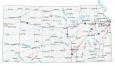
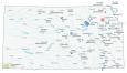
Map of Kansas – Cities and Roads

About the map
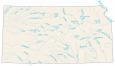
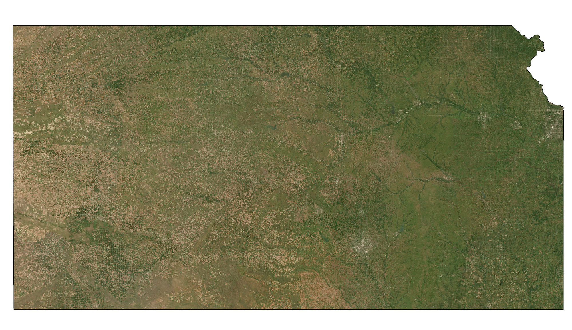
This Kansas map displays cities, roads, rivers, and lakes. Wichita, Overland Park, and Topeka are some of the major cities shown in this map of Kansas.
It’s famous for being the geographic center of the contiguous United States. But it’s also well-known for Dorothy from Wizard of Oz. “I’ve a feeling we’re not in Kansas anymore”.
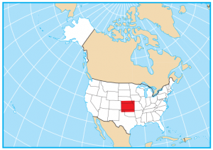
Kansas borders just 4 states including Colorado, Nebraska, Missouri, and Oklahoma. Kansas state is the heart of the midwest and its terrain is flat as a pancake. If you thought Iowa was flat, Kansas is one of the flattest in the whole country!
Kansas map collection
You are free to use our map of Kansas for educational and commercial uses. Attribution is required. How to attribute?
State capital
Topeka
Major cities and towns
Kansas City
Overland Park
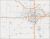
Wichita
Topeka
Garden City
Hutchinson
Lawrence
Leavenworth
Manhattan
Salina
Dodge City
Emporia
Cities and towns
Abilene
Arkansas City
Ashland
Atchison
Belleville
Beloit
Chanute
Cherryvale
Clay Center
Coffeyville
Colby
Concordia
El Dorado
Elkhart
Fort Scott
Fredonia
Garnett
Goodland
Great Bend
Hays
Hiawatha
Hill City
Holton
Iola
Jetmore
Junction City
Kingman
Kinsley
Larned
Lebanon
Liberal
Marysville
McPherson
Meade
Medicine Lodge
Neodesha
Newton
Norton
Oakley
Oberlin
Ottawa
Parsons
Phillipsburg
Pittsburg
Pratt
Russell
St Francis
Scott City
Stockton
Sublette
Syracuse
Wellington
Winfield
Yates
Center
Ulysses
WaKeeney
Paola
Lyons
Marion
Council Grove
Greensburg
Derby
St John
Cimmaron
Tribune
Sharon Springs
Atwood
Ness City
Osborne
Interstate highways
Interstate-35 (I-35)
Interstate-70 (I-70)
Route 135
Lakes, rivers and creeks
Saline River
Smoky Hill River
Tuttle Creek
Cimarron River
Neosho River
Milford Lake
Arkansas River
Missouri River
Republican River
Verdigris River
Solomon River
Perry Lake
My husband and I are celebrating our 35th wedding anniversary and chose Kansas to road trip through. We are from Texas and are enjoying seeing the different sites in this lovely state. However, the winds here can be horrendous! Lol.
Kansas is not “flat as a pancake “. Lots of rolling hills in the Flint Hills. The Red Hills in the south have gullies and draws with exposed rocks. Northeast is much like southeast Wyoming. The southeast is part of the Ozarks, but after all we are flyover country. Come take a road trip, you will be surprised.
None of the state routes are labeled here, but I took the north-most shot across your state, Huck, and I have not been anywhere that reminded me more of the iconic endless rolling green hills we imagine in a dreamscape picture-perfect Americana. I thought it was only in movies, and long gone by the time I hit the road, but you got it. I have been to ALL 48, and my brother, you got it. Thank you!
Looking forward to camping again in Belleville this spring. Coming from PA.
Y’all keep it gorgeous out there, hear?
Traveling in Kansas in July
This is awesome for me with my schoolwork