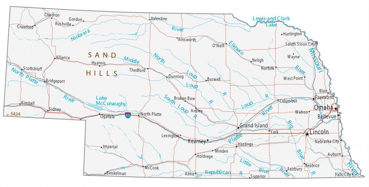
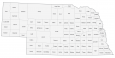
Map of Nebraska – Cities and Roads
About the map
This Nebraska map contains cities, roads, rivers, and lakes. Omaha, Lincoln, and Bellevue are some of the major cities shown in this map of Nebraska. Nebraska is best known for corn, steak, and Warren Buffet.
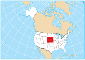
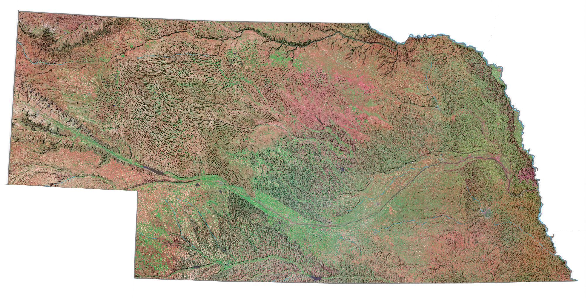
It’s nicknamed the “Cornhusker State” because of its athletics teams and its history of husking corn. Nebraska is a central state, mostly prairie, Great Plains, and mountains in the west like Hogback Mountain. It borders Wyoming, South Dakota, Colorado, Kansas, Missouri, and Iowa.
Nebraska has vast open spaces so it’s easy to connect with nature. State parks are popular and fun to explore in Nebraska. Especially, for those seeking a deeper understanding of the American heartland.
Nebraska map collection
You are free to use our map of Nebraska for educational and commercial uses. Attribution is required. How to attribute?
State capital
Lincoln
Major cities and towns
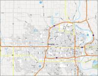
Omaha
Lincoln
Bellevue
Grand Island
Kearney
Fremont
Ainsworth
Alliance
Alma
Auburn
Beatrice
Benkelman
Broken Bow
Columbus
Crawford
Fairbury
Falls City
Hartington
Hastings
Holdrege
Hyannis
Imperial
Kimball
Lexington
McCook
Nebraska City
Neligh
North Platte
O’Neill
Rushville
Scottsbluff
Sidney
Superior
Thedford
West Point
York
Ansley
Blair
Bridgeport
Burwell
Gordon
Norfolk
Ogallala
Valentine
Chadron
Dunning
South Sioux City
Wayne
Wahoo
Minden
Interstate highways
Interstate-80 (I-80)
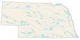
Lakes, rivers and creeks
Niobrara River
Elkhorn River
Loup River
Republican River
Little Blue River
Big Blue River
Missouri River
Lake McConaughy
North Platte River
South Loup River
Lewis and Clark Lake
Landmarks in Nebraska
Sand Hills
This map helped me with my school research project but I need the important cities marked with a different color