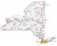
Map of New York – Cities and Roads

About the map
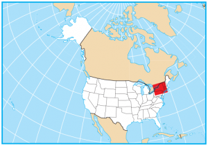
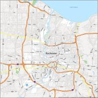
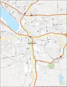
This New York map displays cities, roads, rivers, and lakes. For example, New York City, Buffalo, Rochester, and Syracuse are major cities in this map of New York. New York City is the largest city by population in the entire country and is nicknamed the Big Apple.
New Yorkers are proud people and are recognized as the City that Never Sleeps. The state of New York boasts some of the most famous landmarks in the world like the Statue of Liberty. Some of its other highlights include Finger Lakes, Niagara Falls, and the Adirondack Mountains.
New York is the root of American history because Ellis Island is where most Europeans entered the country. The state of New York has everything. Central Park is an urban oasis with ballparks and a zoo. Empire State Building is a 103-story observatory. Not to mention, the state of New York even has an enormous outdoor concert at Woodstock.
New York map collection
You are free to use our map of New York for educational and commercial uses. Attribution is required. How to attribute?
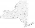
State capital
Albany
Major cities and towns
New York
Buffalo
Rochester
Syracuse
Yonkers
Albany
Auburn
Binghamton
Elmira
Ithaca
Jamestown
Newburgh
Niagara Falls
Poughkeepsie
Rome
Saratoga Springs
Schenectady
Troy
Utica
Watertown
White Plains
Levittown
Cheektowaga
Irondequoit
Middletown
North Tonawanda
Hempstead
Amsterdam
Bath
Catskill
Corning
Cortland
Dansville
Dunkirk
Endicott
Fredonia
Fulton
Geneva
Glens Falls
Gloversville
Hornell
Hudson
Ilion
Johnstown
Kingston
Lockport
Malone
Massena
Monticello
Newark
Ogdensburg
Oneida
Oneonta
Oswego
Plattsburgh
Potsdam
Seneca Falls
Sidney
Tupper Lake
Wellsville
Saranac Lake
Montauk
Lake Placid
Olean
Long Lake
Norwich
Peekskill
Geneseo
Interstate highways
Interstate-81 (I-81)
Interstate-84 (I-84)
Interstate-86 (I-86)
Interstate-87 (I-87)
Interstate-88 (I-88)
Interstate-90 (I-90)
Interstate-390 (I-390)
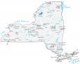
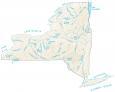
Lakes, rivers and creeks
Lake Champlain
Hudson River
Oneida Lake
Delaware River
Lake Ontario
Lake Erie
Atlantic Ocean
Susquehanna River
Cayuga Lake
Seneca Lake
Black River
Lake George
Long Island Sound
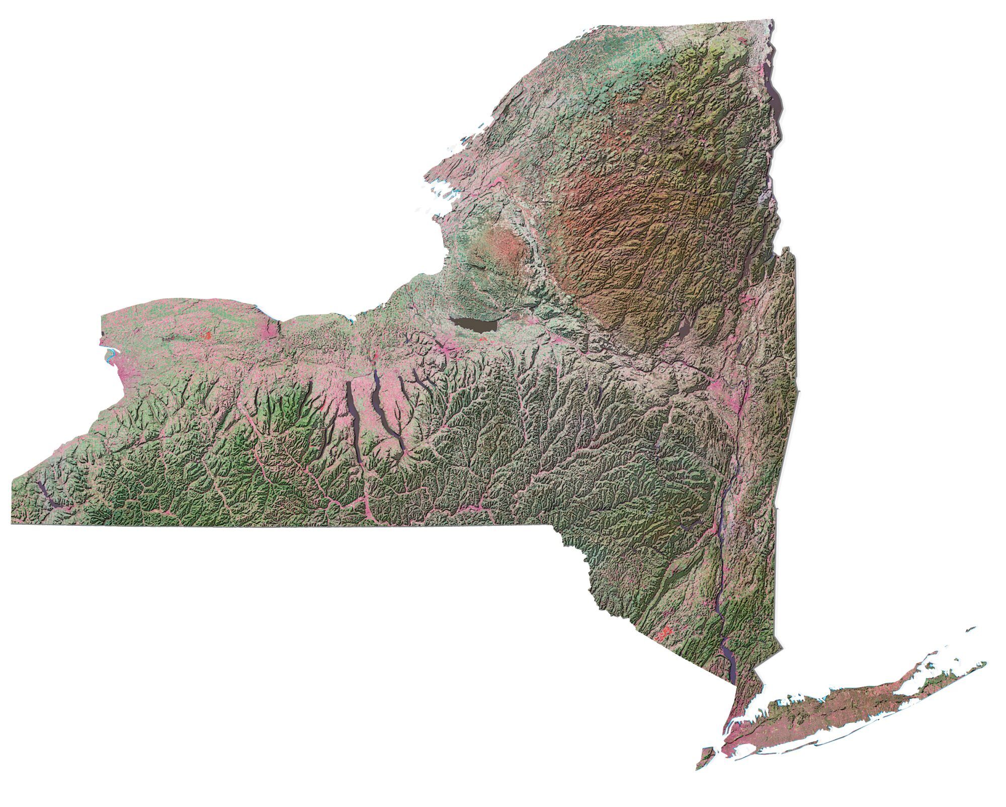
Landmarks in New York
Catskill Mountains
Adirondack Mountains
Slide Mountains
Mount Marcy
Long Island
This is new news to me, because The Statue of Liberty is in Jersey City, but carry on!
:)
nice
This is way better than the one I was using
Niagara River… connects lakes Erie and Ontario