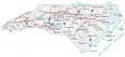
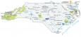
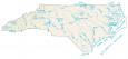
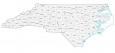
North Carolina Lakes and Rivers Map

About the map
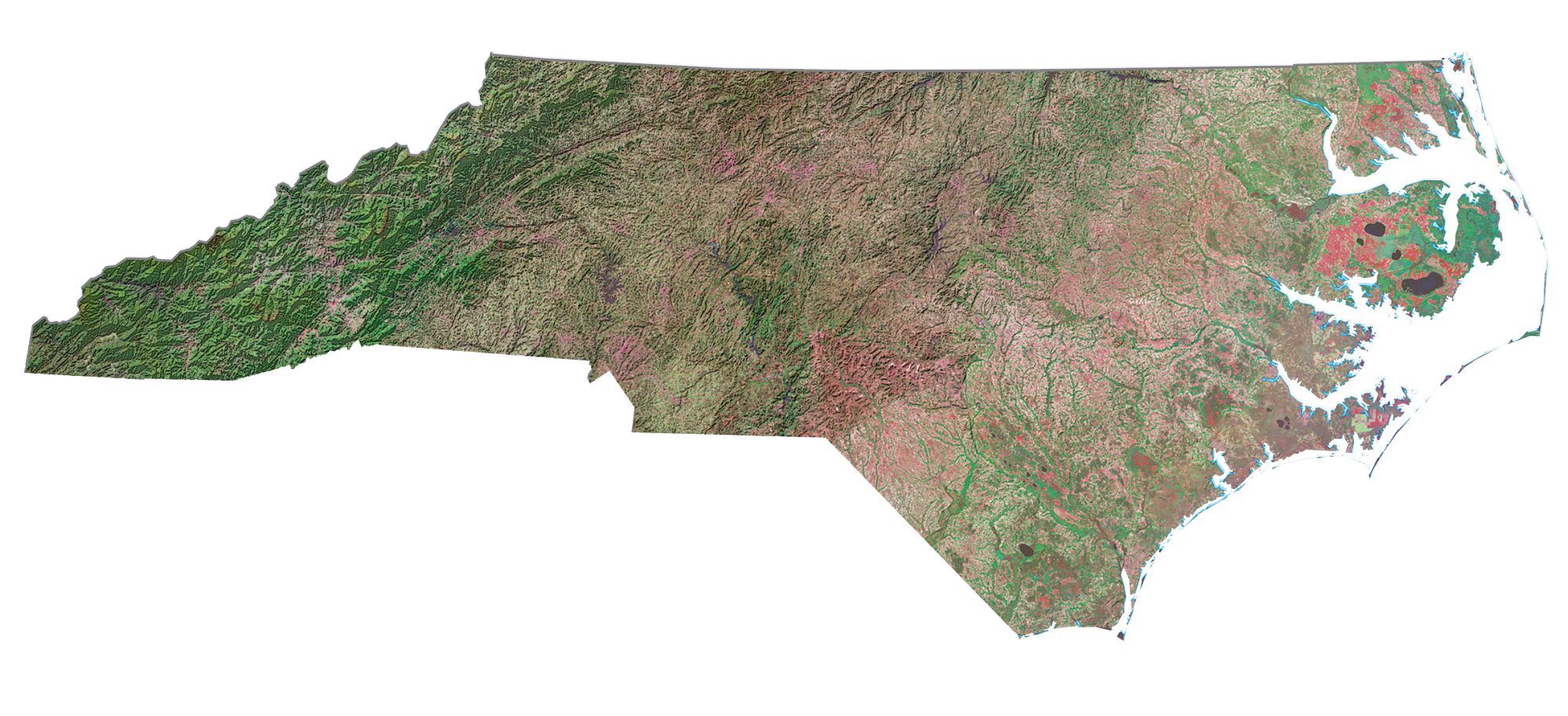
This map shows major rivers, reservoirs, bays, sounds, and lakes of North Carolina. Most rivers flow east to the Atlantic, while some western rivers head northwest, eventually draining in the south.
The largest lakes in North Carolina are Kerr Lake, Lake Mattamuskeet, and Lake Norman. But the 48,900-acre Kerr Lake extends out into the neighboring state of Virginia and is a major source of hydroelectricity.
North Carolina has several bays and sounds on its eastern coastline. For example, it includes Pamlico Sound, Albemarle Sound, and Onslow Bay. Some of the major rivers in North Carolina are the Catawba River, Tar River, Pee Dee River, and the Roanoke River.
North Carolina map collection
You are free to use our lakes and rivers map of North Carolina for educational and commercial uses. Attribution is required. How to attribute?
North Carolina lakes, rivers and reservoirs
Lakes and reservoirs
John H Kerr Reservoir
Lake Norman
Fontana Lake
High Rock Lake
B Everett Jordan Lake
Lake Gaston
Falls Lake
Lake Mattamuskeet
Phelps Lake
Hiwassee Lake
Lake Jocassee
Lake James
Rivers and streams
Catawba River
Tar River
Pee Dee River
Roanoke River
Neuse River
Yadkin River
French Broad River
Chowan River
Lumber River
Broad River
Rocky River
Deep River
Dan River
Haw River
South River
Black River
Bays, sounds and capes
Cape Fear
Pamlico Sound
Onslow Bay
Long Bay
Atlantic Ocean
Chesapeake Bay
Albemarle Sound
Dismal Swamp
Why isn’t Lake Waccamaw on the list, either as a lake or a bay? it is the largest of the Carolina Bays and is filled with water instead of vegetation. https://www.ncparks.gov/state-parks/lake-waccamaw-state-park