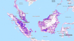
Global Forest Maps to See the Forest for the Trees
Satellite and mapping technologies tell a story of our trees and forests. These 4 global forest maps will help you start seeing the forest for the trees.
Satellite and mapping technologies tell a story of our trees and forests. These 4 global forest maps will help you start seeing the forest for the trees.
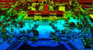
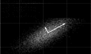
How would you like to wave your magic wand and find out how far everything is away from you? No magic wands necessary. This is how LiDAR works.
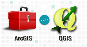
It’s a head-to-head GIS software showdown with the star-studded lineup in the GIS industry- ArcGIS vs QGIS. Discover the differences between ArcGIS and QGIS
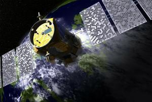
Active sensors illuminates its target and measures that reflected backscatter to the sensor. Passive sensors measure natural energy from the sun.
This list of earth-shattering remote sensing applications will change the way you feel about how this industry is changing our world and the way we think.
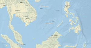
Natural Earth data is a free raster and vector (cultural and physical) data package containing the most common elements that you need to create a map.
Principal component analysis PCA identifies duplicate data over several datasets & aggregates essential information into groups called principal components.

Remote sensing, geodatabases and automation can play a key role in cost-effective and timely information for using GIS in oil and gas industry.
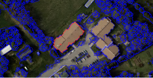
Object-based Image Analysis (OBIA) segments an image by grouping pixels together into vector objects. Using these objects, you classify as land cover types.
There is an abundance of choice for open source remote sensing software. This list of 13 free applications describes what each one brings to the table.