What Is Central Place Theory?
Central Place Theory is a way to understand why cities and towns are where they are. Walter Christaller developed this theory in the 1930s.

Central Place Theory is a way to understand why cities and towns are where they are. Walter Christaller developed this theory in the 1930s.

BIM, or Building Information Modeling, is a smart way to design buildings. It creates virtual 3D models about the its materials and systems.
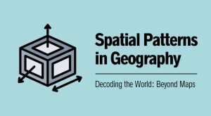
Spatial patterns show us how things are connected in the world. With GIS technology, we can visualize and analyze spatial patterns.

We explain the differences between hexagon binning and rectangular binning, as well as provide examples of both with tessellation.
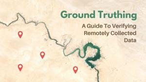
This guide will provide an overview of the ground truthing process, including the steps involved, the verification process, and the benefits.
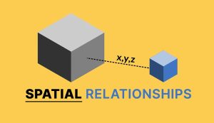
The term “spatial relationships” refers to the way objects are arranged in relation to one another such as adjacency, overlap, and proximity.
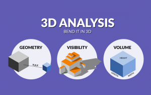
3D analysis is a growing trend because it better represents the real world. For some problems, 3D is sometimes the only way to solve it.

Augmented reality (AR) in GIS allows you to interact with the outside world by enhancing or adding 3D features to your phone’s display.

Geometric networks in GIS enable connectivity between lines on a map, supporting network analysis by establishing a linear flow and routing.

Full motion video ties your videos with maps. As you play a video, it doesn’t just show a moving point. It shows the whole video footprint on the map.