Indoor Mapping in GIS
What Is Indoor Mapping?
Most of the focus in GIS is typically on mapping the outdoor environment.
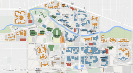
But recently, it’s increasingly being used indoors. Indoor mapping specializes in mapping building floor plans.
It can incorporate Revit, BIM, and CAD, and build a seamless 2D or 3D for different floor levels inherent in buildings.
Advantages and Benefits
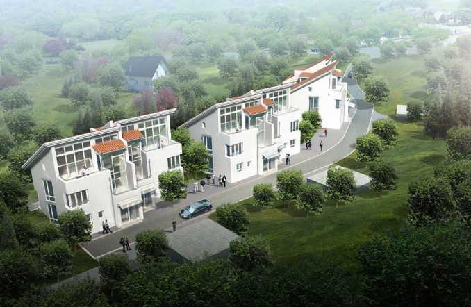
Architects design buildings so people move through them efficiently. But sometimes a CAD drawing may not translate well in real life. When you digitally map your indoor floorplans, you can understand your workspace in new and unique ways.
Some of the advantages are:
Improve mobility – You can track movement with indoor positioning systems (IPS). This way, it can improve mobility for places like airports and university campuses and better plan for the future. Alternatively, you can quantify the amount of foot traffic in places like shopping malls to charge based on location.
Emergency response – If you have digital floor plans, it’s easier to find workplace information and securely monitor a building. First responders and security can navigate with accurate indoor plans.
Collaboration – When you share an indoor web map, it’s easier to find rooms and amenities. Accurate indoor positioning helps desk spacing and collaboration for everyday workflows. For example, you can share a location and see the route for meeting places, similar to network analysis.

Indoor Data for Mapping
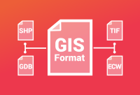
Indoor mapping incorporates various different formats including:
If you have a physical blueprint, you can also scan them and vectorize it. This is where a program like ArcScan can come in handy.
After you put your blueprint into a digital form, then you can georeference the building footprint. This step will give your building coordinates, and get a better geographic context.
Indoor Mapping Software
Looking to do some indoor mapping of your own? Try out the software packages below to get started.


