Landsat Program: 50+ Years Archive of Earth
Imagine being able to rewind forty years back in time. For any given place and time. Then, see how much it’s changed. You can through the Landsat Program!
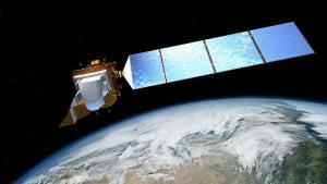
Imagine being able to rewind forty years back in time. For any given place and time. Then, see how much it’s changed. You can through the Landsat Program!
GE has a long, successful track record in utilities and network infrastructure. Because of this, Smallworld has value-added tools specifically for networks.
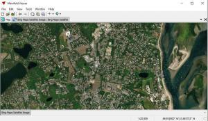
Manifold GIS has more or less the full capabilities of the bigger GIS software suites. But the key is their focus on speed and a low price tag.
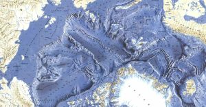
Mineral extraction, natural gas as well as potential shipping routes. These Arctic Maps display one of the last great frontiers for human development.
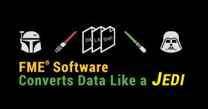
FME software is your GIS data conversion factory. You load a file format in. It churns out another – as requested. It’s as simple as that.
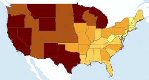
Quantile classification divides classes so that the total number of features in each class are approximately the same (which is useful for showing rankings)
IDRISI TerrSet is primarily for remote sensing and image processing. With over 300 analysis tools, IDRISI TerrSet is as reliable as they come.

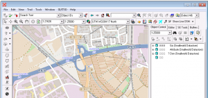
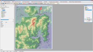
ArcGIS, QGIS, SAGA GIS to JUMP GIS. What GIS software should you be using? We map out the GIS software landscape and list 30 options for you to choose from.

This is one of the most comprehensive lists of global transportation maps on the planet. Whether it’s planes, trains or automobiles, you’ll love this guide.
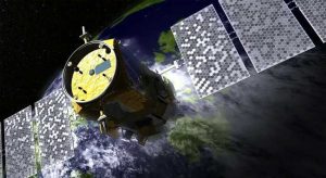
Active sensors illuminates its target and measures that reflected backscatter to the sensor. Passive sensors measure natural energy from the sun.