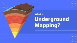
What Is Underground Mapping?
Underground mapping uses a variety of imaging technologies to map subsurface information including oil and gas exploration and utilities.
Underground mapping uses a variety of imaging technologies to map subsurface information including oil and gas exploration and utilities.
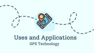
In this article, we’ll explore the uses of GPS technology, how it has changed our lives, and what the future of GPS may hold.
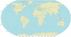
Having a world map with latitudes and longitudes is incredibly beneficial, as it allows us to identify geographic locations on the Earth.

This step-by-step guide will walk you through the process of creating Excel maps (choropleth maps) from start to finish with sample data.
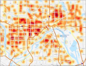
This St. Paul crime map is your resource for understanding the safety landscape of this city and to help visualize crime across neighborhoods
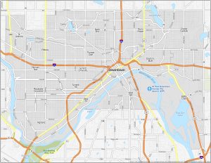
This St. Paul neighborhood map is your guide to exploring the communities and regions that make up the capital city of Minnesota.

GIS internships provide a great opportunity for students and graduates to develop their skills and explore career paths in the GIS industry.
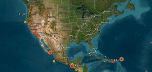
Today, we’re going to provide you with a list of earthquake maps to help improve disaster response, recovery efforts, and risk assessment.
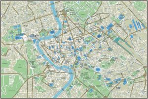
From the Colosseum to Vatican City and the Spanish Steps, discover a mixture of ancient history and modern life with our Rome tourist map.
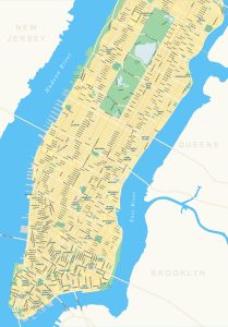
Welcome to the heart of the Big Apple – Manhattan. Our map of Manhattan showcases its highways, roads, districts, parks, and rivers.