How To Add a Web Mapping Service (WMS) in QGIS
A web mapping service (WMS) is a protocol for serving map layers over the internet. This article will show you how to connect to them in QGIS.
A web mapping service (WMS) is a protocol for serving map layers over the internet. This article will show you how to connect to them in QGIS.
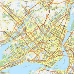
Need a map of Montreal? You’ve come to the right place. Use our Montreal map collection to explore the second largest city of Canada.
QGIS2Web is a plugin for QGIS that takes your desktop GIS and makes it available and interactive to other people through your own server.
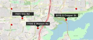
QGIS geocoding converts an address into geographic coordinates. Learn how to use the bulk geocoding tool in the MMQGIS plugin for QGIS Desktop.
QuickMapServices is usually the first plugin that everyone installs after and is now the main provider of base maps in QGIS Desktop.
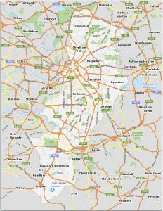
Our Manchester map collection features a road map, an interactive map, a list of things to do, and a reference map to learn about Manchester.
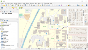
This tutorial will walk you through how to QGIS OpenStreetMap plugins for QGIS including how to use OSM base maps and extract its features.
QField is an open-source mobile data collection for Android, iOS, and macOS. You can build forms, with GPS positioning and camera integration.

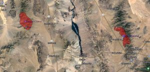
Geoanalytics is an emerging science in which big data technology extracts meaning, patterns, and insights from complex geospatial datasets.
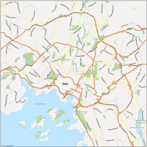
Looking for a map of Oslo, Norway? We have a set of 3 maps that you can download today including neighborhoods, things to do and highways.