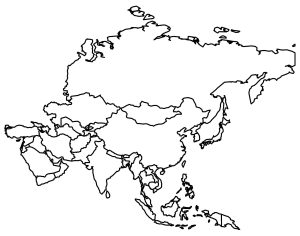
Blank Map of Asia with Country Outlines
Download our blank map of Asia and uncover the largest continent in the world. We also include all 48 country outlines within Asia.
Download our blank map of Asia and uncover the largest continent in the world. We also include all 48 country outlines within Asia.
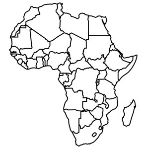
Are you searching for a blank map of Africa? Our blank map of Africa is free to use with all 54 country outlines (color & black and white).
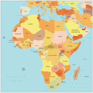
Ready to explore the continent of Africa? Dive into this map of Africa with countries and cities. Download for free and use any map of Africa
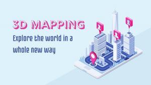
3D mapping is the process of capturing three-dimensional information about the terrain or environment around you to represent the real world.

We explain the differences between hexagon binning and rectangular binning, as well as provide examples of both with tessellation.
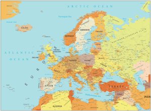
Download our high resolution map of Europe for any purpose. It features countries, capitals, major cities, highways, and more.

Are AI maps inevitable in GIS? AI and its impacts on the GIS industry are overblown. We explore how AI will penetrate our industry.
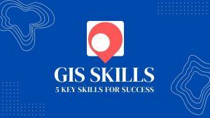
Are you new to GIS and looking to get started in the field? With the right GIS skills, you can succeed and carve out a geospatial career.

This article will highlight our 15 favorite editing tools in ArcGIS Pro. It will showcase their functionality and how to digitize GIS data.
With the ArcGIS Maps for Sharepoint solution, users can quickly view and explore their geographic data within their SharePoint environment.