What Is 3D Mapping? A Beginner’s Guide
DEFINITION:
3D mapping is the process of creating three-dimensional representations of objects, terrain, or environments using geographic data.
What is 3D Mapping?
3D mapping is the process of capturing locations with elevation. It’s an emerging technology that’s already gained a lot of traction in the geospatial industry.
For those who aren’t familiar with it, 3D mapping is essentially a digital representation of the real world. In other words, 3D mapping allows users to view geographical information in a higher degree of detail and at a more granular scale.
In this article, we will provide an introduction to 3D mapping so you can understand what it is. We’ll also cover how it works and why you should care about it if you’re involved in the geospatial industry.
A Digital Representation of the World
Before we get into the nitty-gritty of how 3D mapping works, let’s talk a bit about what it actually is. In simple terms, 3D mapping is the process of capturing and storing three-dimensional information.
When you look at a paper map, for example, you’re seeing a two-dimensional representation of the surrounding area. However, 3D mapping allows you to see the Earth in all its three-dimensional glory.
Think of it like walking around a building and having someone take a photo or video of it from different angles and distances. Because it’s in 3D, you can see the shape of the building from all different angles so you can properly identify it.
How Does 3D Mapping Work
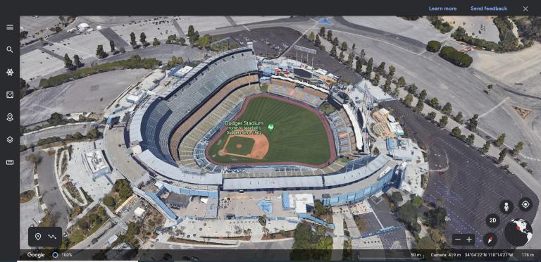
Now that you have a basic idea of what 3D mapping is, let’s go into more detail about how it works. When you open up Google Earth and tilt it to see the 3D terrain, the data pops out at you. But really, it’s just a combination of two types of 3D data.
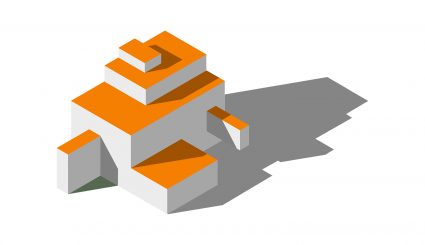
3D MODELS – First, a 3D model is a highly detailed digital model of a physical object. For example, this could include features like bridges, buildings, monuments, and stadiums. But they aren’t all generated automatically because some are built by hand in 3D design software like SketchUp.
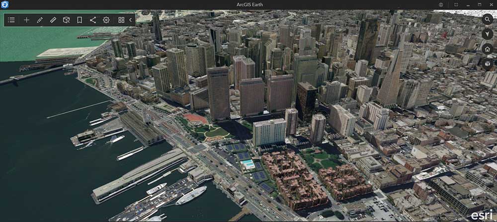
TERRAIN – Secondly, orthoimagery can be overlaid onto a 3D terrain such as a digital elevation model (DEM). Tools like photogrammetry can map long stretches of terrain by overlapping photos together. From this process, it’s possible to build textured 3D meshes to represent everything from mountains to canyons on a landscape.
Benefits of 3D Mapping
There are many benefits of 3D mapping. With 3D mapping, you can visualize your physical surroundings in new ways. For example, this type of map can help you identify potential problems and optimize your space.
You can also get a more accurate view of your surroundings. For example, you can now see what a building or road looks like with more details. This can help you identify problems with site selection and the best course of action.
3D mapping can help architects create more realistic renderings of proposed projects. Engineers can make better decisions by understanding how a space works and how elements interact. Plus, they can use resources more effectively and enhance safety.
Even beyond the benefits related to accuracy and identifying problems, 3D mapping can also be used for fun and creative purposes. For example, you can use 3D mapping to design buildings, create augmented reality (AR) content, or even perform 3D analysis.
3D Mapping Software
There are various 3D software products that are available on the market today. Here are some of the most common 3D software available today.
Google Earth – Google Earth is an online 3D mapping tool for exploring the world. You can use the application to generate 3D views of your surroundings. It includes spectacular 3D renderings of major landmarks. This includes Christ the Redeemer, the Golden Gate Bridge, and the Statue of Liberty. All major cities in Google Earth have 3D features added to them, and it’s possible to view them with Google Earth VR.
ArcGIS Pro – 3D capabilities are natively built in ArcGIS Pro through scenes. This means that you get a total suite for creating, analyzing, and visualizing your own 3D data. But where ArcGIS Pro really excels is in its 3D analysis tools, which allow you to explore and analyze data in a more immersive way.
Autodesk Revit – Autodesk Revit is a 3D architectural design and BIM software. Its main purpose is to create models, views, and animations of buildings and other structures. It includes features like geometry, sectioning, and rendering. This makes it ideal for architects, engineers, and construction professionals.
BIM is an acronym for Building Information Modeling. It is a process and software application for creating, managing, and sharing models of buildings and their components. BIM also facilitates communication between designers, engineers, and construction managers.
Conclusion
As you can see, 3D mapping is a fascinating technology. It has the potential to transform the way we interact with geography. This is especially true when you consider how much geospatial technology has changed over the years.
By using this technology, you can now truly see the world as it is. You can gain a far better idea of the terrain and other geographical information.
At the same time, you can also do some creative and fun things with the technology. This potentially opens up new opportunities for fun and creative uses.


