Alaska County Map
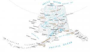
This Alaska county map displays boroughs, census areas, cities and municipalities. There are 29 administrative areas in total for the state of Alaska.
This Alaska county map displays boroughs, census areas, cities and municipalities. There are 29 administrative areas in total for the state of Alaska.
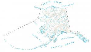
Rivers and lakes of Alaska flow into the Pacific Ocean and Arctic Ocean. In this map, you will find major rivers, reservoirs, sounds and lakes of Alaska.
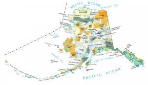
This Alaska State Map shows major landmarks and places. It includes national forests, military, preserves, wildlife refuges and federal lands in Alaska.
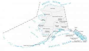
This map of Alaska displays major cities, rivers and mountains. For example, Anchorage, Fairbanks and Juneau are the major cities shown in this Alaska map.
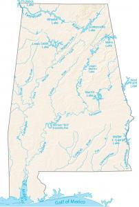
In this map, you will see major rivers, reservoirs and lakes of Alabama. For example, it has the Alabama River, Mobile Bay and Lake Guntersville.
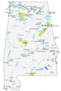
This Alabama State Map shows major landmarks and places in Alabama. This includes forests, military, preserves, refuges and other federal lands in Alabama.
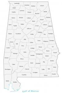
This Alabama County map displays its 67 counties. Jefferson, Mobile and Madison are the largest counties in Alabama in terms of population.
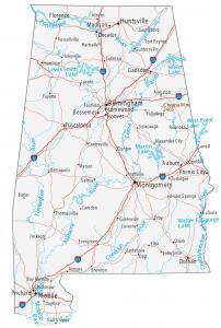
This Alabama Map has major cities, roads, rivers and lakes. Birmingham, Montgomery and Huntsville are cities shown in this map of Alabama.