Free UAV & Drone Imagery in Geospatial Format
These 3 unmanned aerial vehicle (UAV) data platforms provide us with access to high-quality and free drone imagery in geospatial format.

These 3 unmanned aerial vehicle (UAV) data platforms provide us with access to high-quality and free drone imagery in geospatial format.
Raster analysis is the process of analyzing spatial information contained in grid datasets such as soils, land cover, elevation, and more.

Whether you’re a professional geographer or just a hobbyist, this list of remote sensing software available will help you get the job done.
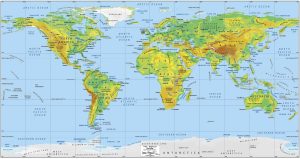
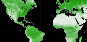
This world physical map is a great way to explore the vastness of our planet, from the highest mountains to the deepest oceans.

By combining the panchromatic band with multispectral imagery, pansharpening produces images of higher resolution for better visual clarity.
In this article, we’ll discuss the best photogrammetry software for geomatics available today including Pix4D, ArcGIS Pro, and Autodesk ReCap.
Data engineering in GIS prepares spatial data for analysis such as filling in missing values, adding fields, geoenriching, and cleansing values
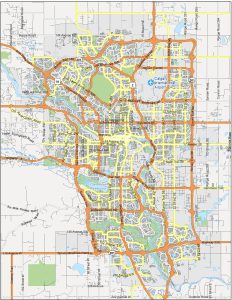
Searching for a map of Calgary? You’re in luck because we’ve built several maps to get acquainted with the fourth-largest city in Canada.
Google Earth Engine (GEE) is a cloud-based platform that delivers a multi-petabyte catalog of satellite imagery for planetary-scale analysis.

In this Autodesk review, we’ll talk about the world’s leading provider of CAD software for design, engineering, and construction.