Milan Map, Italy
A Milan map – Milan is a city that has long been known as the world’s fashion capital, but it offers so much more than just designer shopping.
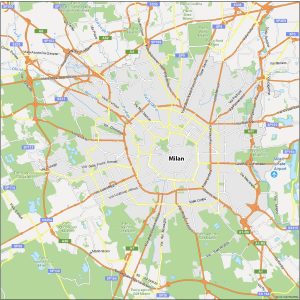
A Milan map – Milan is a city that has long been known as the world’s fashion capital, but it offers so much more than just designer shopping.
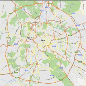
When in Rome… You’re going to need a good map to know where you’re going. That’s where our Rome map collection comes in handy.
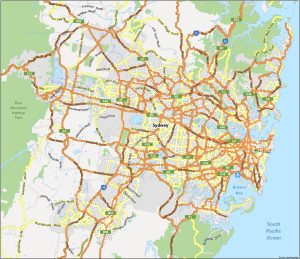
Print out our map of Sydney, Australia. That way, you can enjoy the perfect visit and take in as much as you can in this beautiful city.
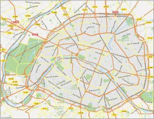
Paris is a city that rewards those who take the time to explore it in depth, and a good map is the key to unlocking its many secrets.
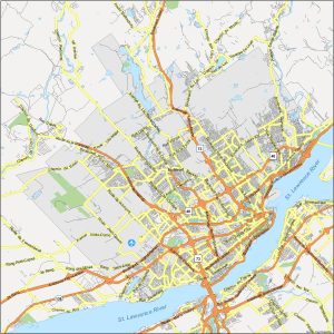
Packing up your things for a trip to Quebec City? Before you go, don’t forget to bring a handy map of Quebec City from our collection of maps.
A printable Hamilton map collection – Whether you’re planning a road trip or are a local, print our maps of Hamilton to get to know the city.
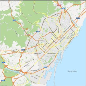
We encourage you to download any of our Barcelona map collection so you can have them as a helpful guide when you roam around Barcelona.
This Adelaide map is for getting acquainted with the capital city of South Australia and the fifth-most populous city in Australia.
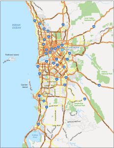
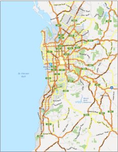
Our Perth map collection can help you familiarize yourself with the capital and largest city of the Western Australia state (Perth).
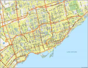
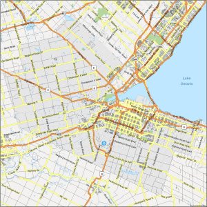
To help you get around Toronto, we’ve designed 3 printable maps so you don’t get lost. Each map of Toronto gives you a unique perspective.