Learn GIS – An Introduction to GIS
If you want to learn GIS, this is your guide to Geographic Information Systems. It covers analysis, cartography, remote sensing and software.
If you want to learn GIS, this is your guide to Geographic Information Systems. It covers analysis, cartography, remote sensing and software.
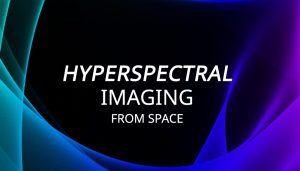
Hyperspectral imaging takes a spectrum of light and divides the light into hundreds of narrow spectral bands. For example, Hyperion has 242 bands at 30m GSD.
Chances are that you are already using Mapbox, and you may not know it! Apps like Snapchat integrate Mapbox directly into their applications.

Augmented reality (AR) in GIS allows you to interact with the outside world by enhancing or adding 3D features to your phone’s display.

Photogrammetry uses photographs from at least two different vantage points. It obtains depth and perspective because of separate points of observation.

An America Samoa map that contains cities, towns, highways with satellite imagery and an elevation of the US unorganized territory in Oceania.

There are countless ways you can slice, dice and edit data in GIS. That’s why we’ve created this visual guide with the GIS editing tools.
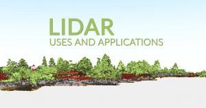
We reveal 15 LiDAR uses and applications. LiDAR isn’t a new technology, but it’s been growing so much lately that even your smartphone has it

Carto is where data meets maps on the web. Instead of using desktop GIS software, Carto provides it all in the cloud with just a web browser.

Are you thinking about enrolling for a GIS Masters degree program? We weigh in the pros and cons of graduating with a GIS Masters degree.