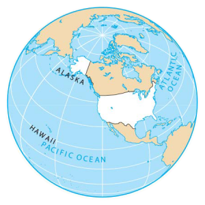
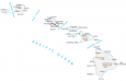
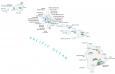
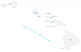
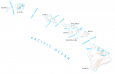
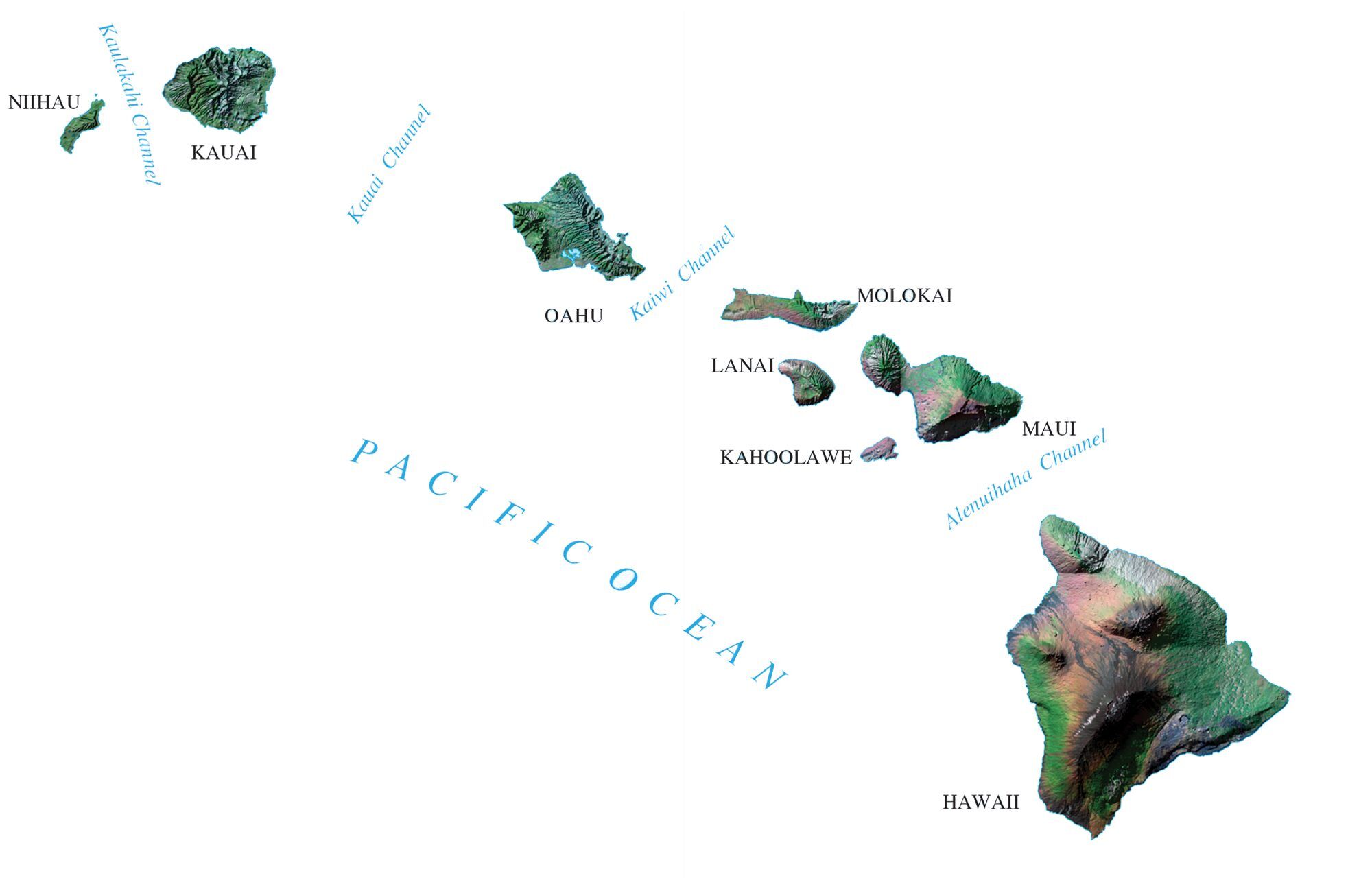
US Map Collection: The 50 States of America
Select below from the interactive US map to view a detailed map of any of the 50 states of the United States.
About the map
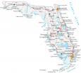
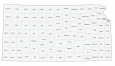
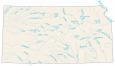
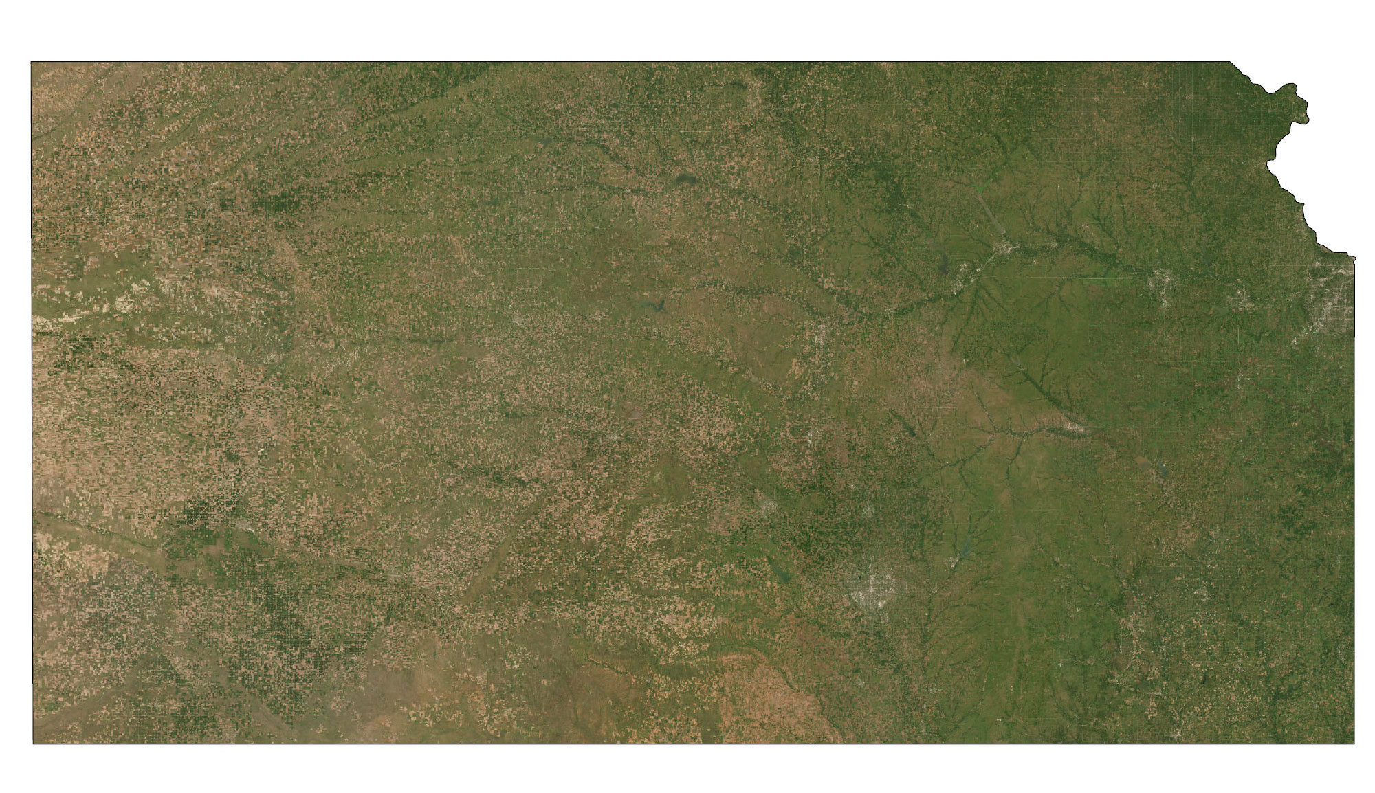
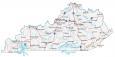
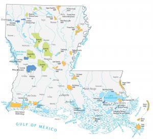
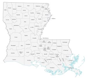
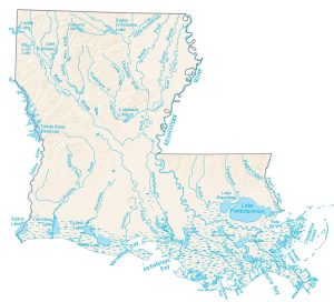
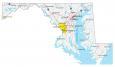
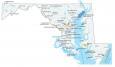
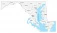
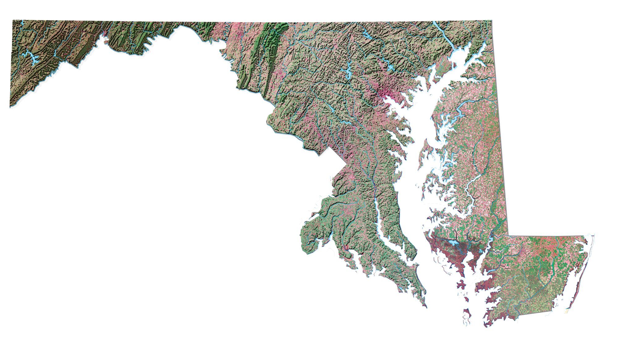
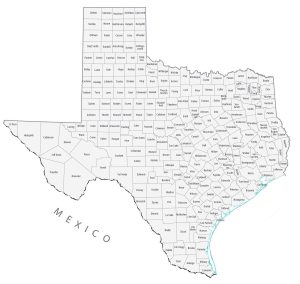
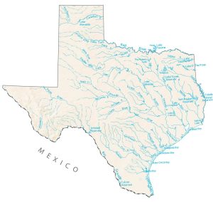
This is one of the largest US map collections available for the United States of America. It consists of a state-by-state collection of 5 types of maps:
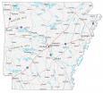
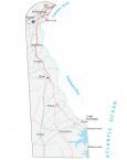
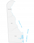
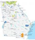
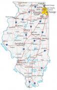
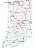
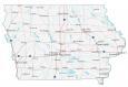
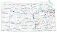
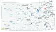
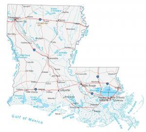
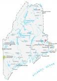
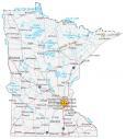
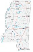
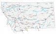
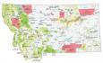
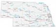
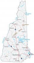
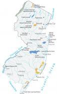
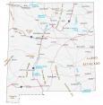
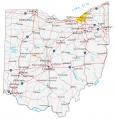
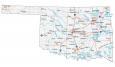
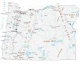
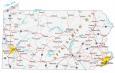
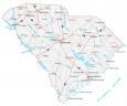
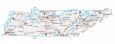
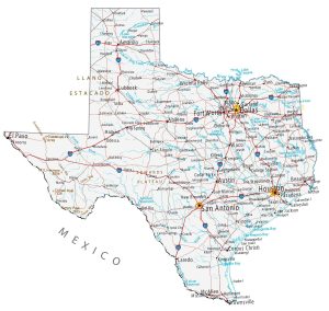
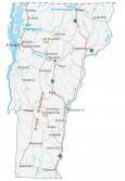
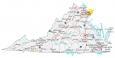
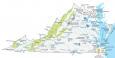
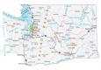
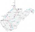
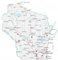
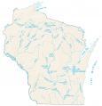
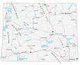
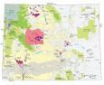
- REFERENCE MAP – Major cities, highways, and water features.
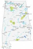
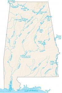
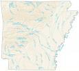
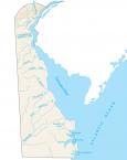
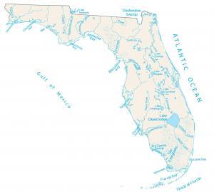
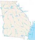
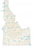
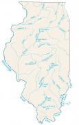
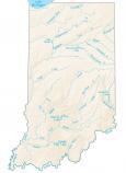
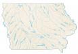
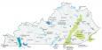
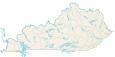
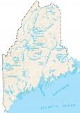
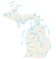
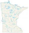
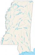
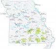
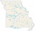
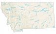
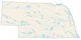
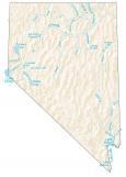
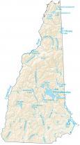
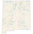
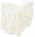
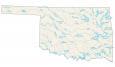
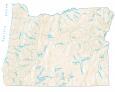
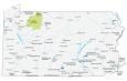
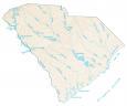
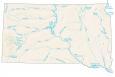
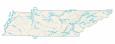
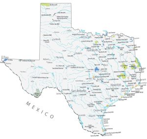
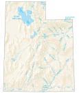
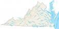
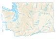
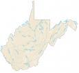
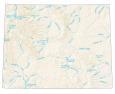
- LAKES AND RIVERS MAP – Water features for lakes, rivers, and oceans.
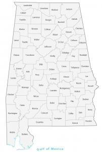
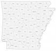
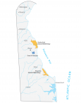
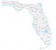
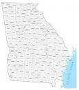
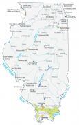
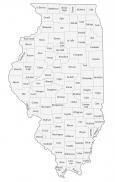
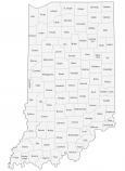
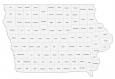
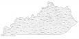
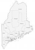
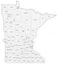
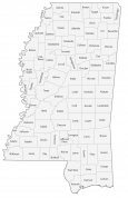
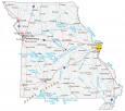
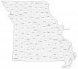
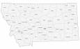
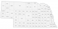
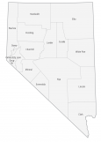
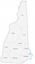
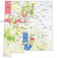
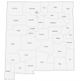
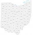
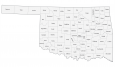
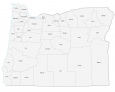
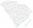
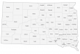
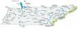
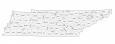
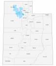
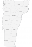
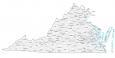
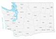
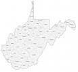
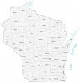
- COUNTY MAP – Counties, parishes, and boroughs.
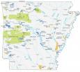
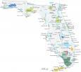
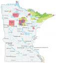
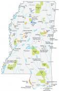
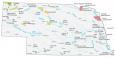
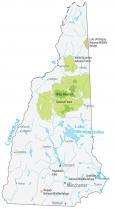
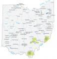
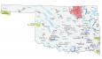
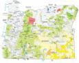
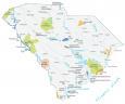
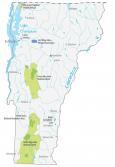
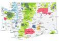
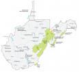
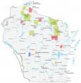
- LANDMARKS MAP – Major landmarks including national parks, forests, and things to do.
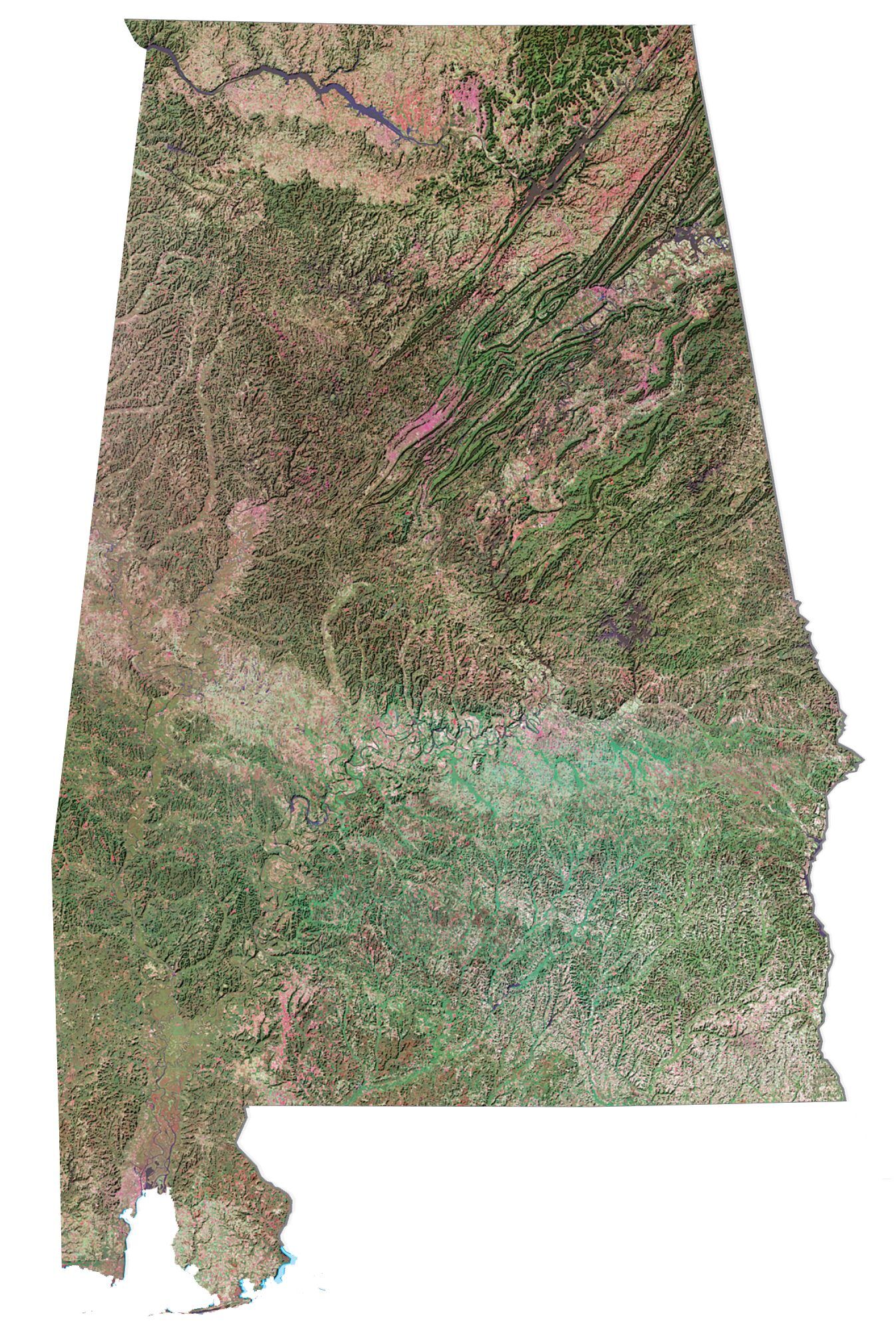
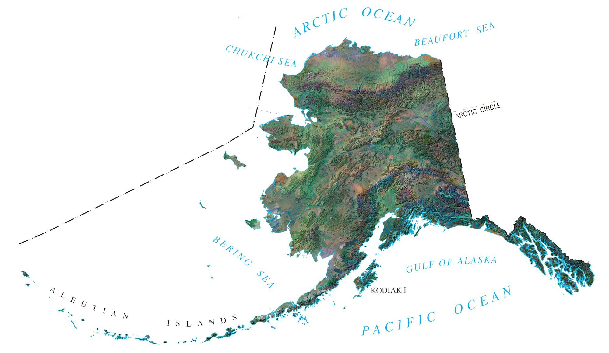
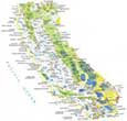
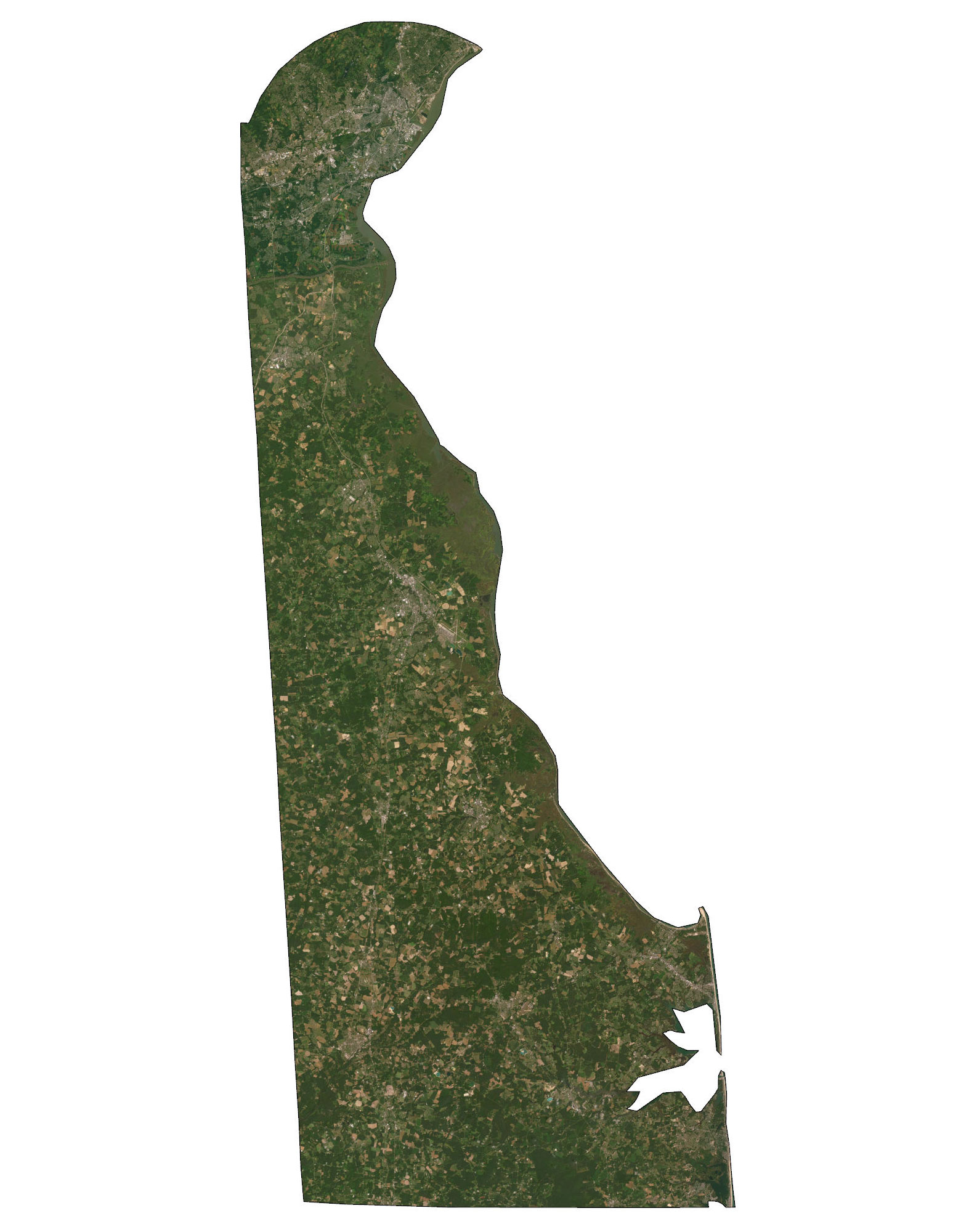
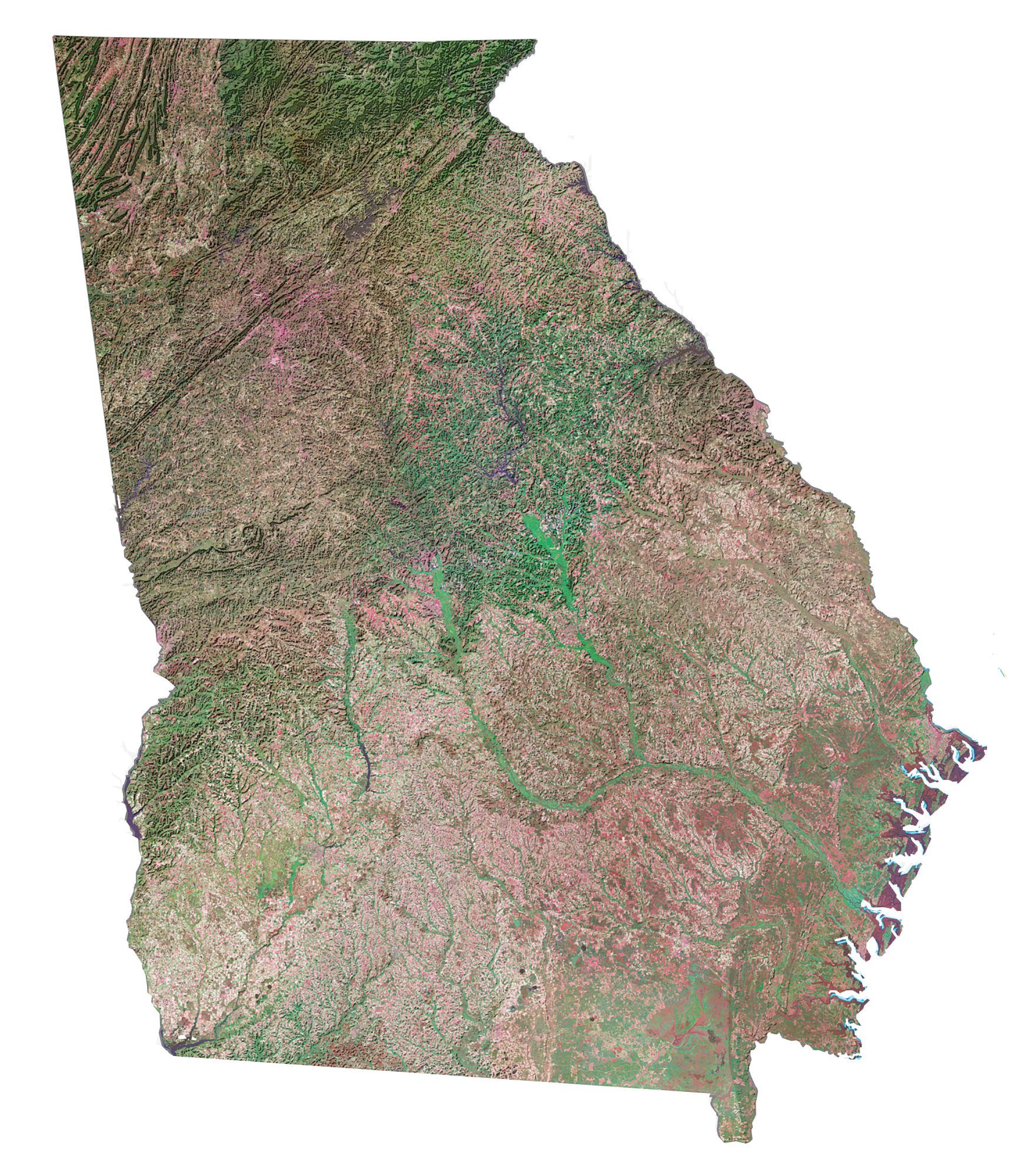
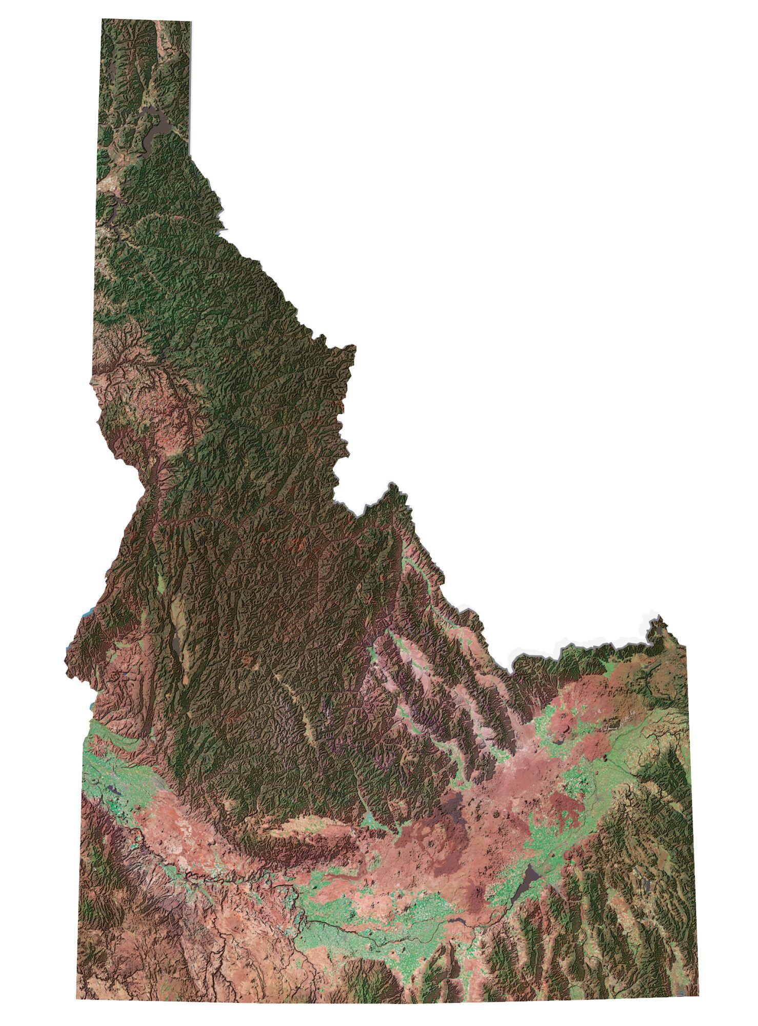
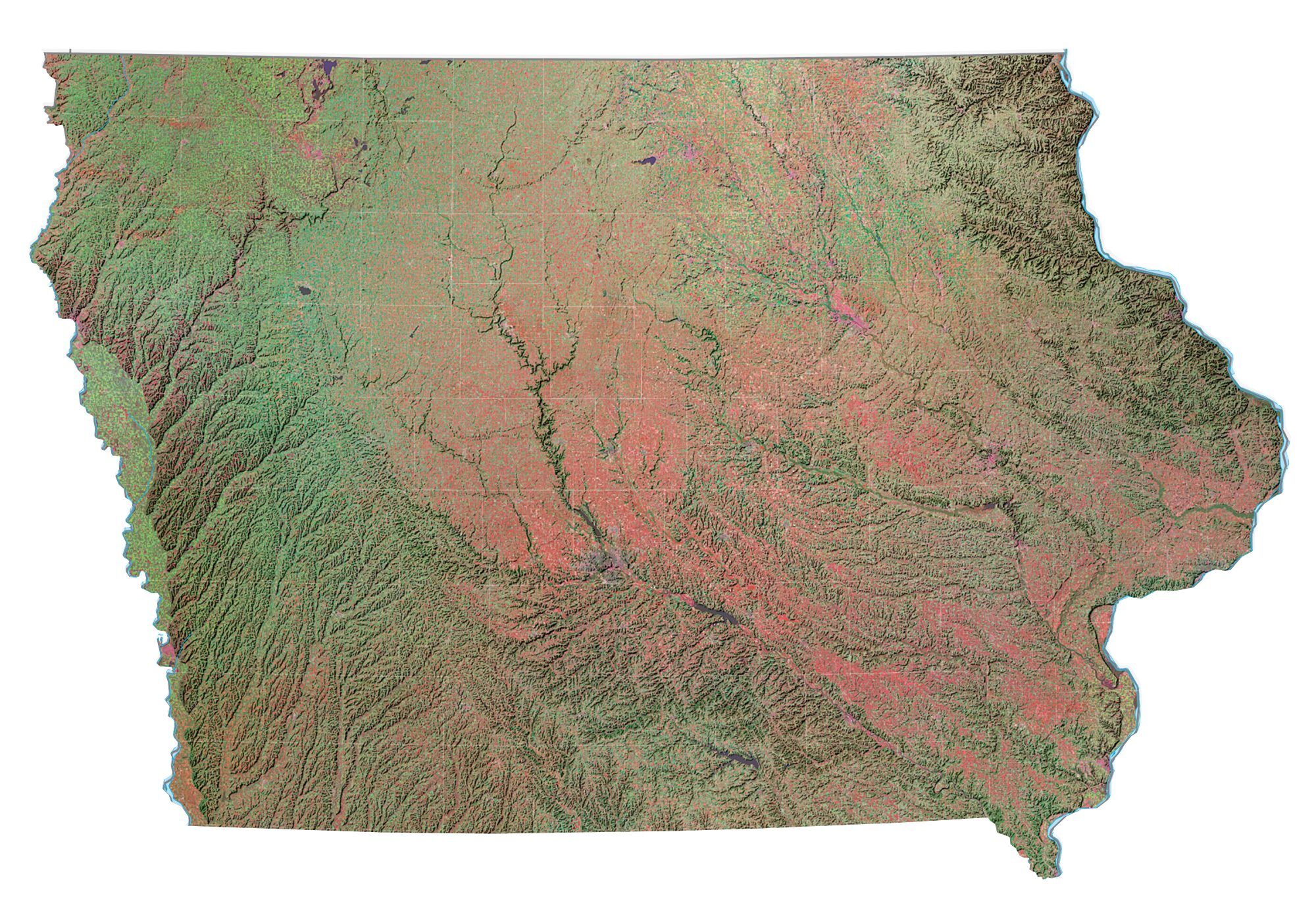
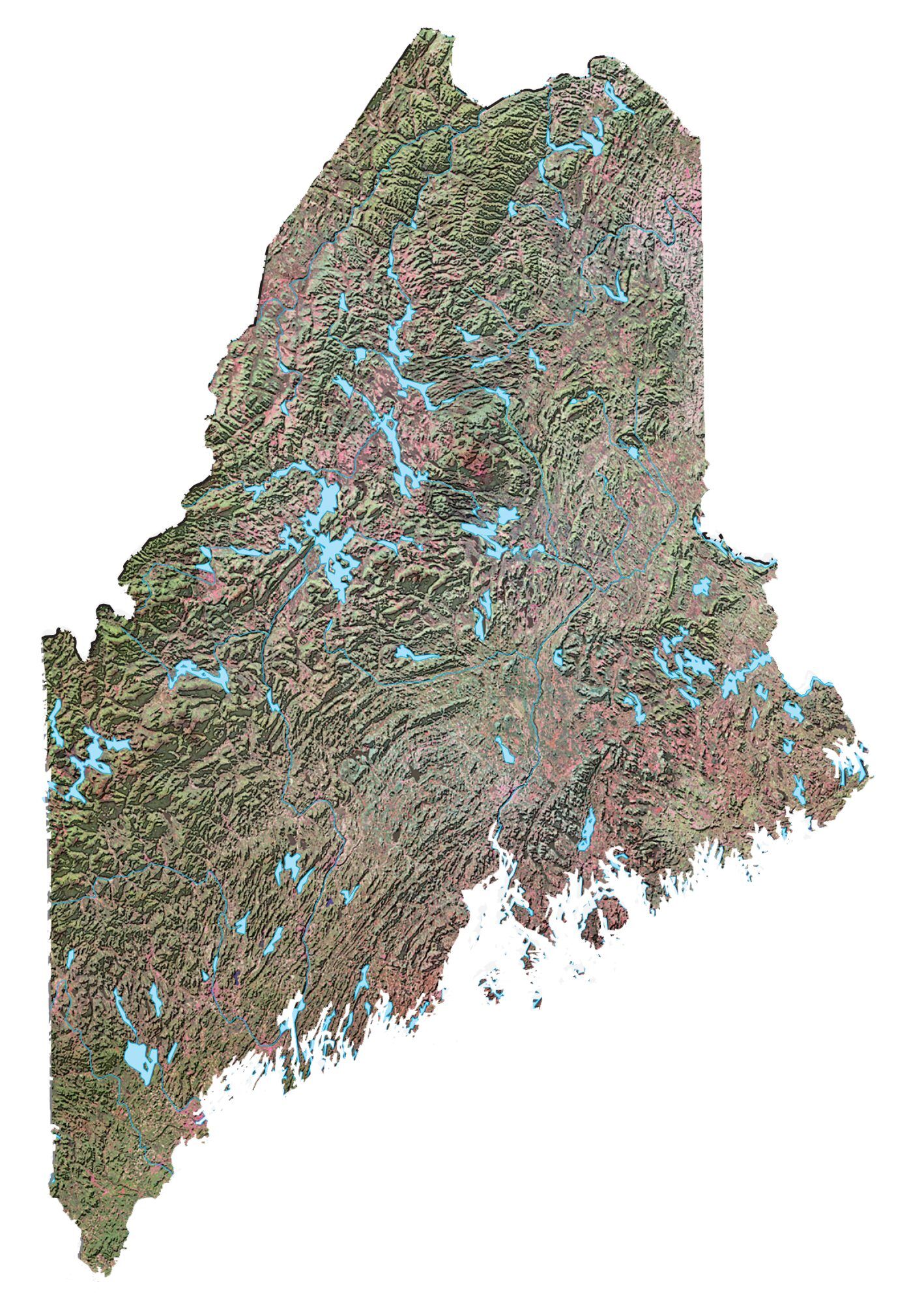
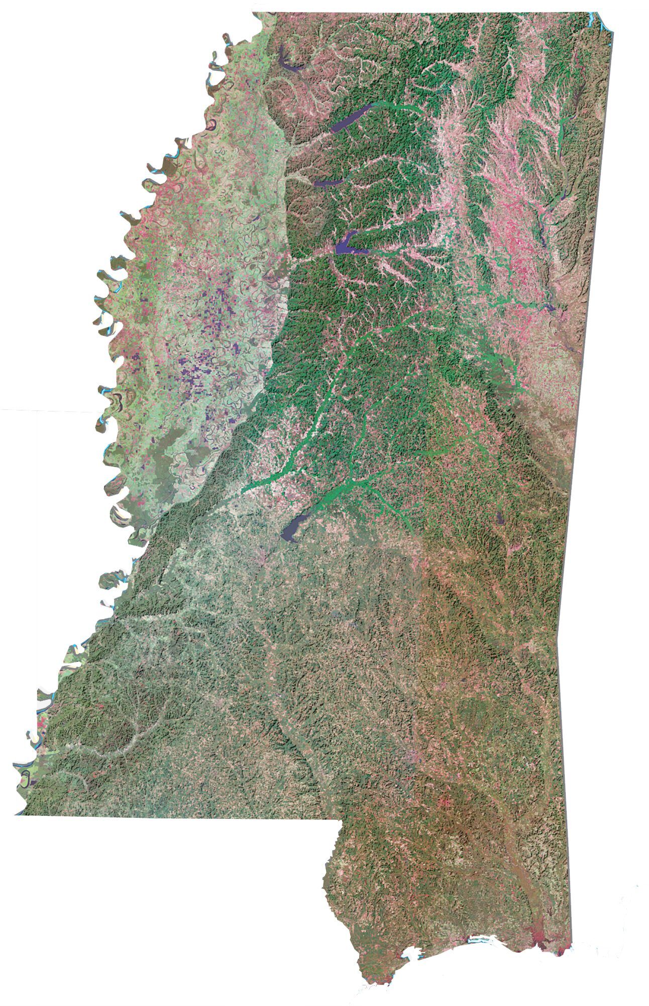
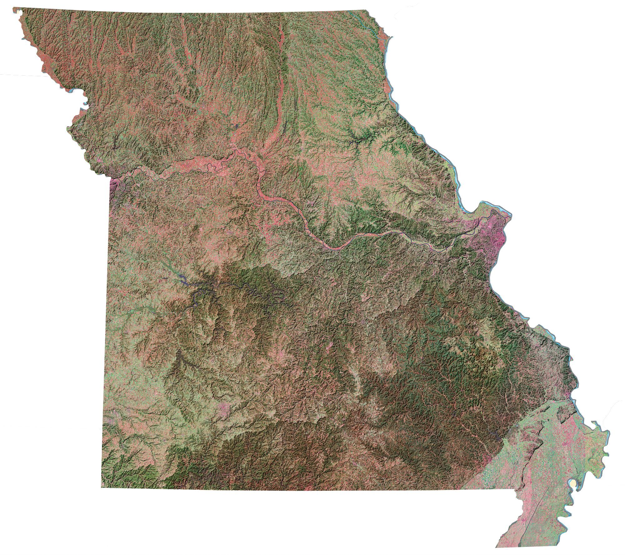
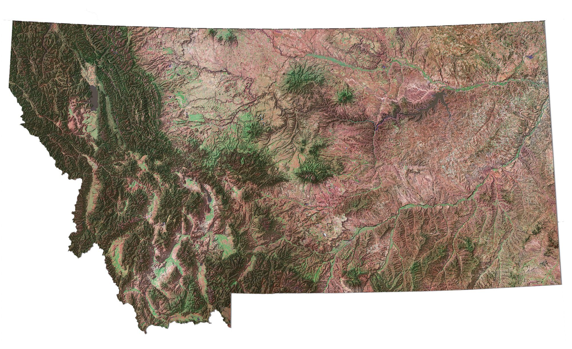
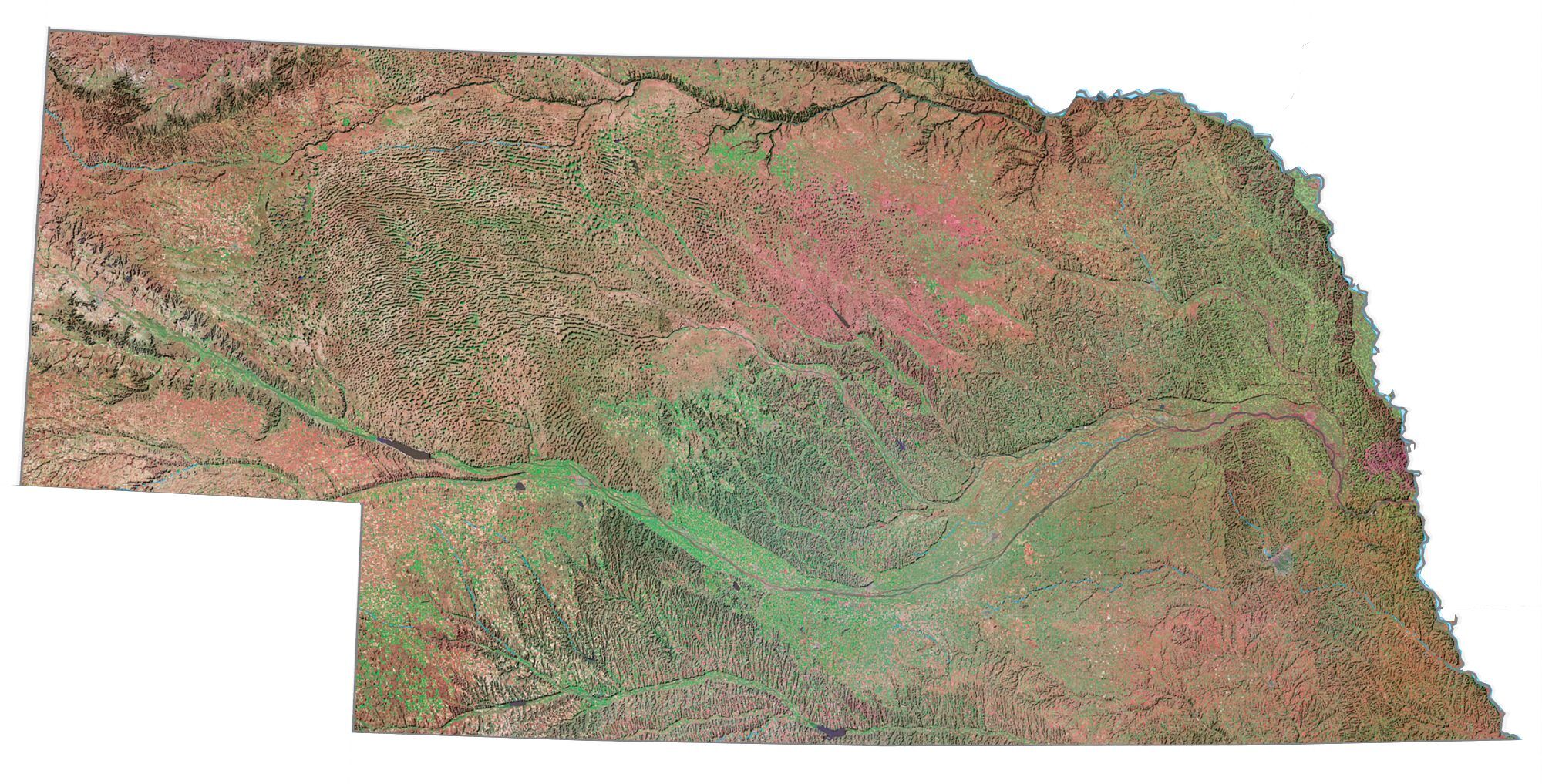
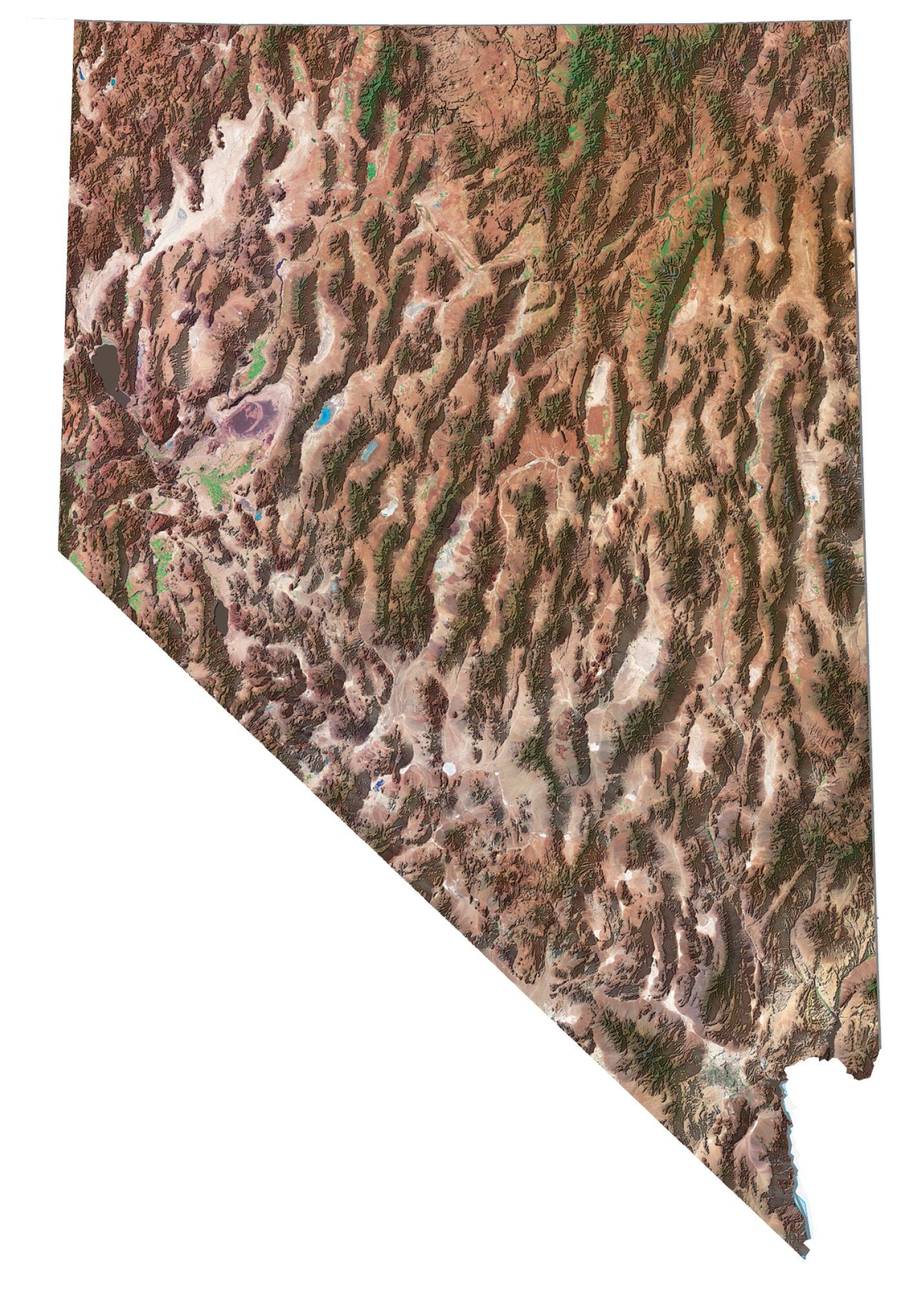
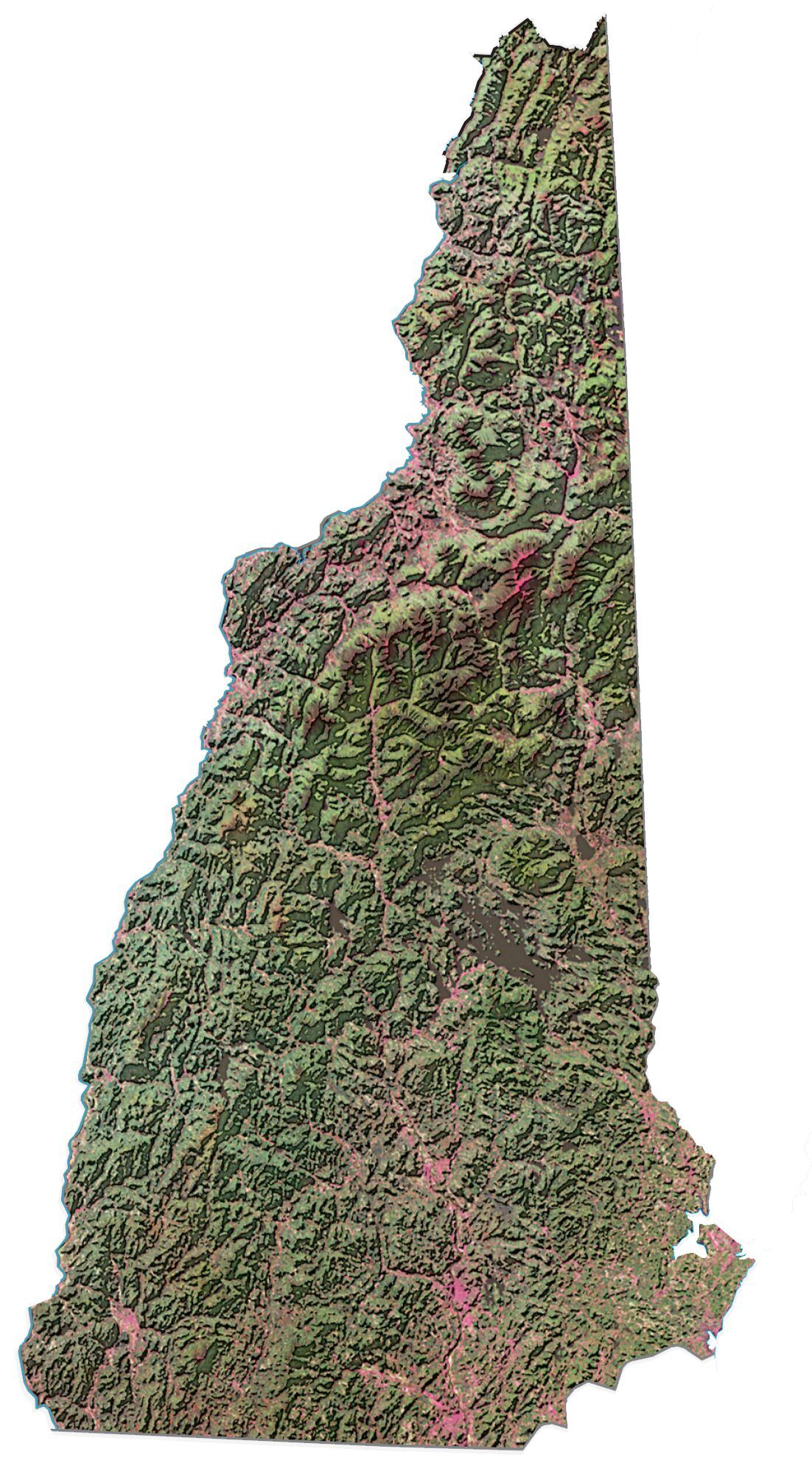
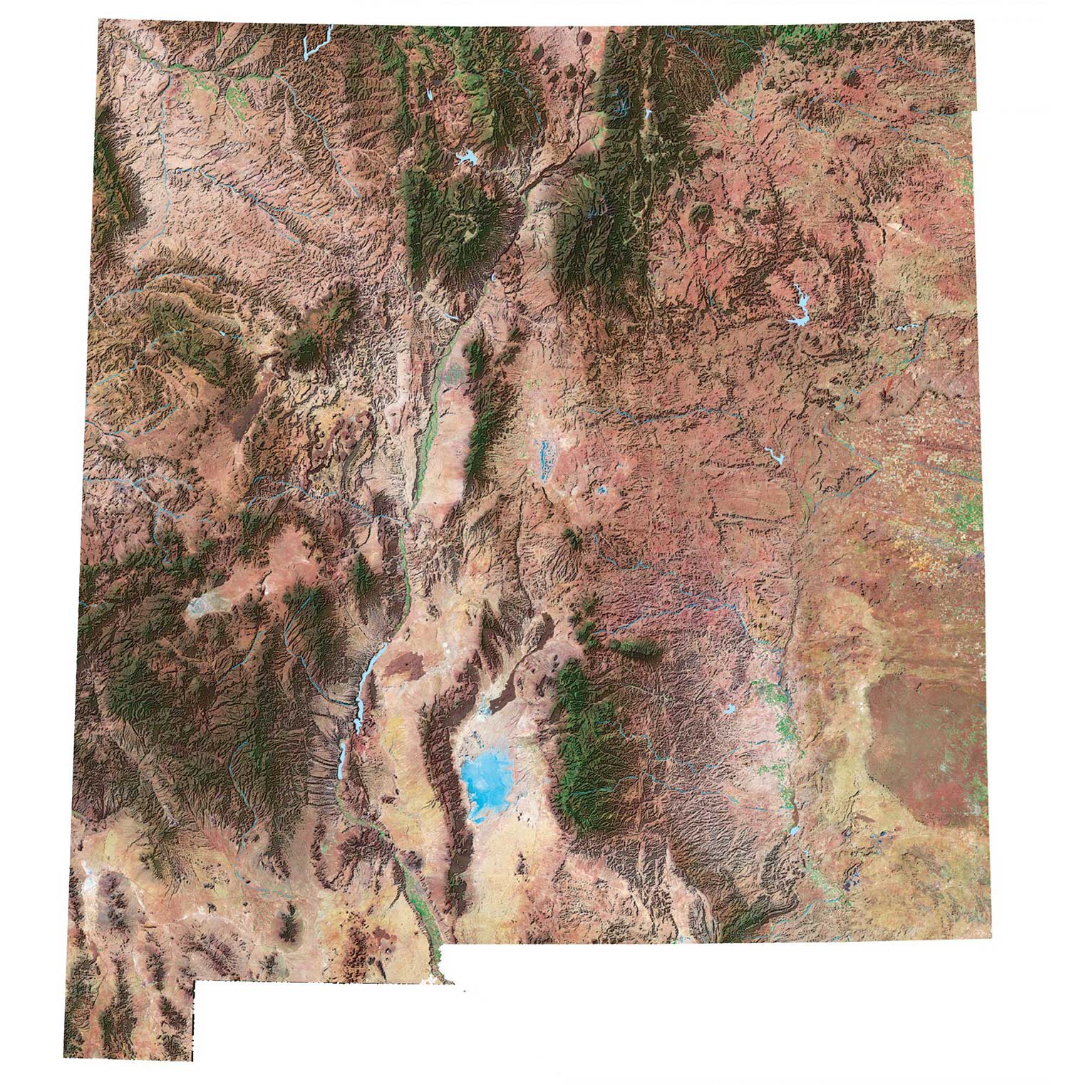
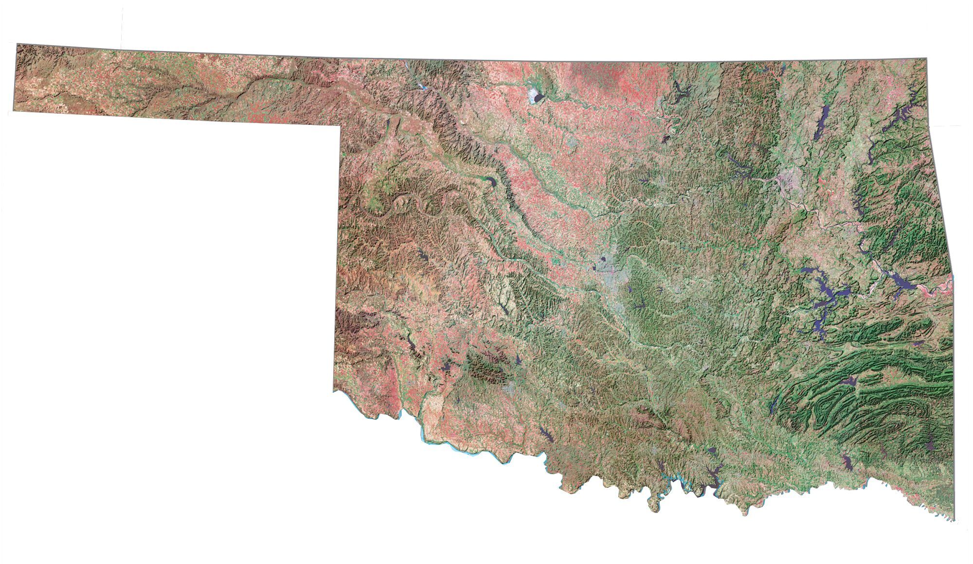
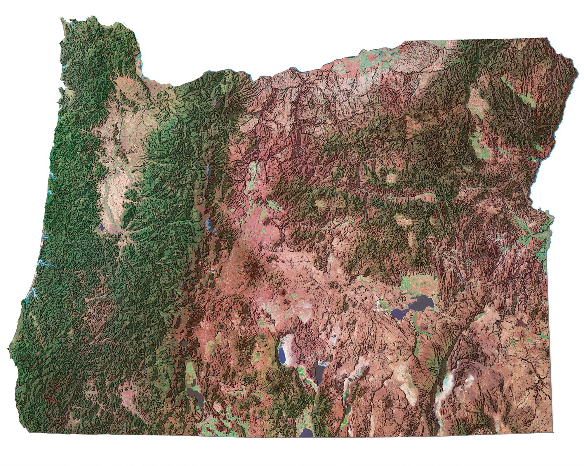
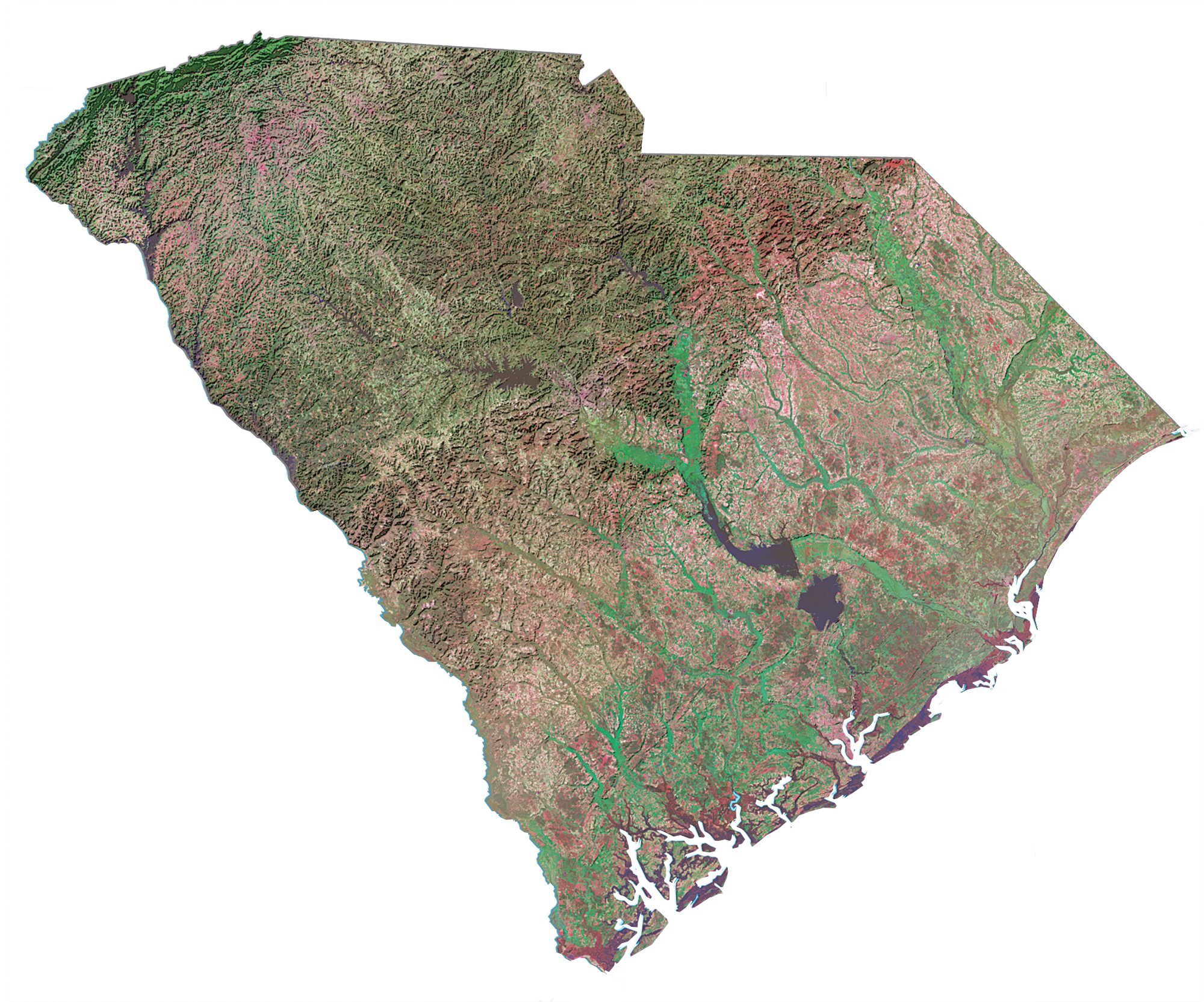
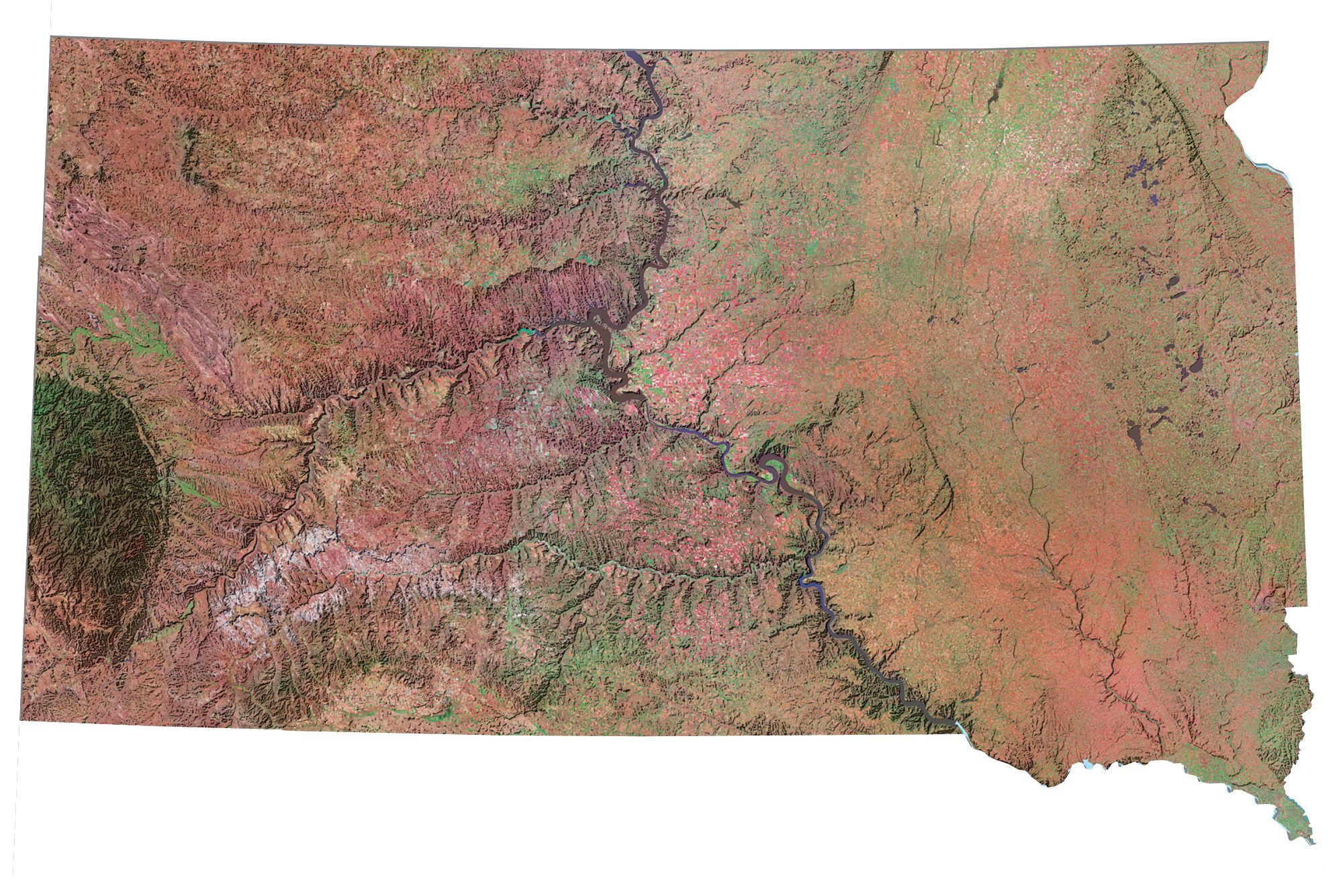
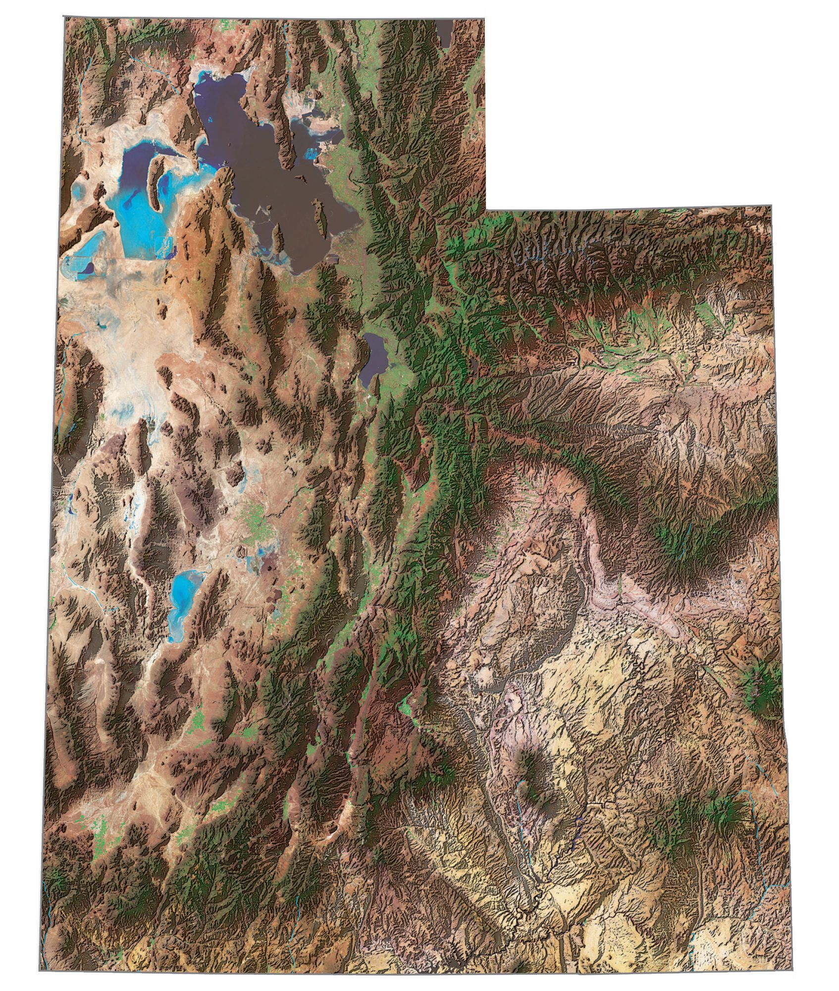
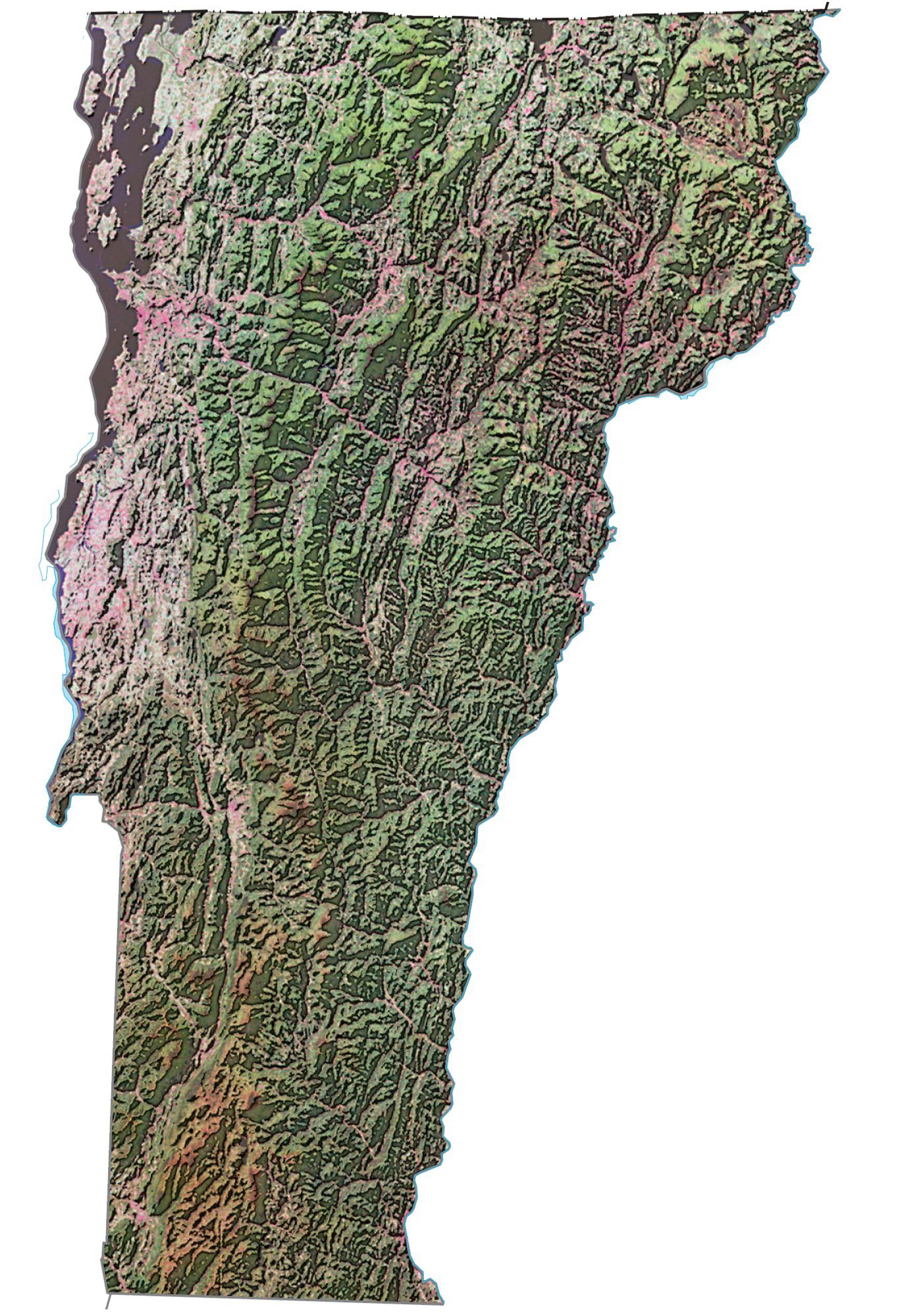
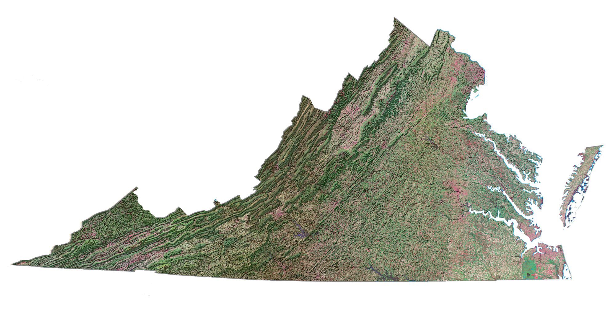
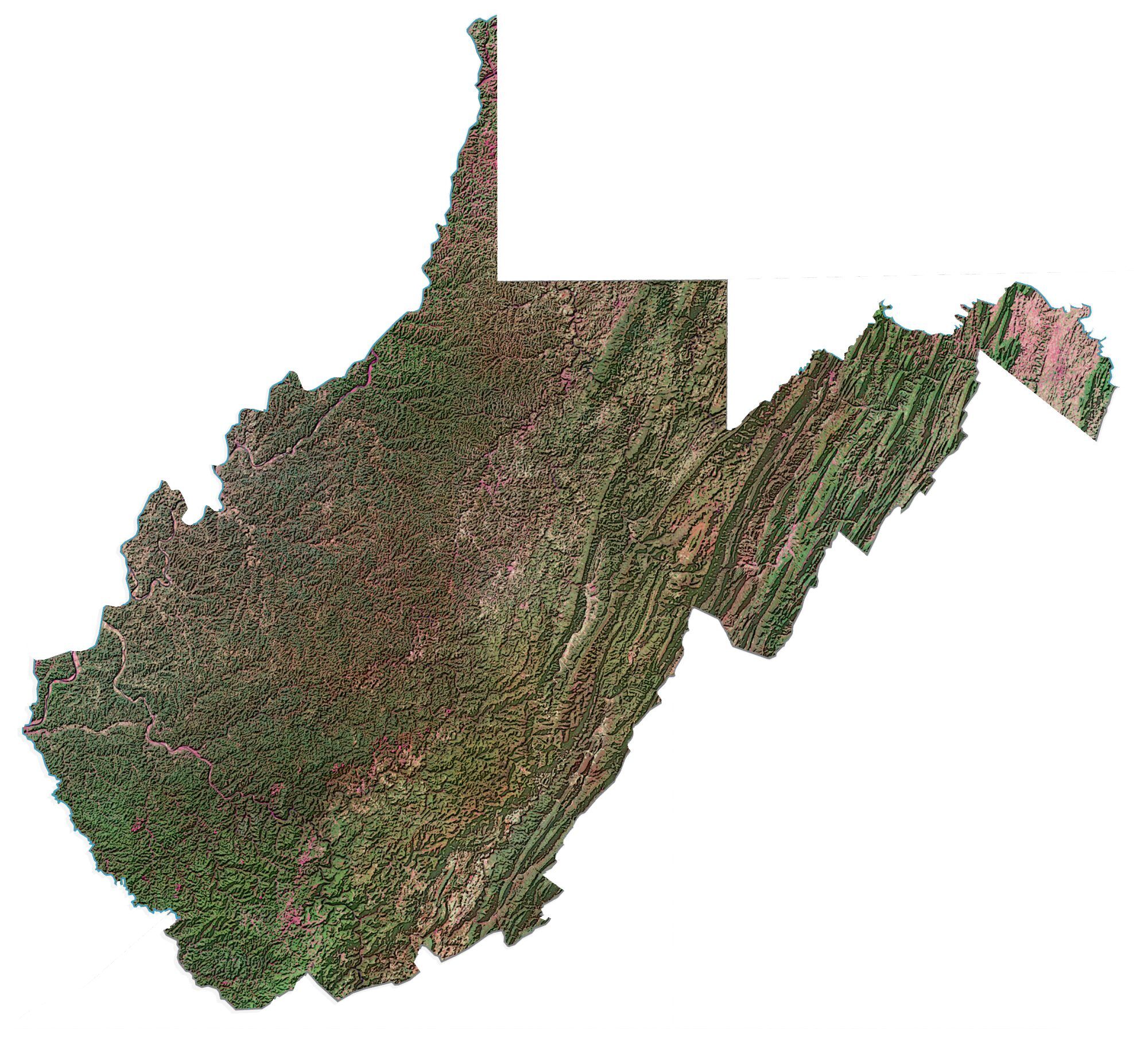
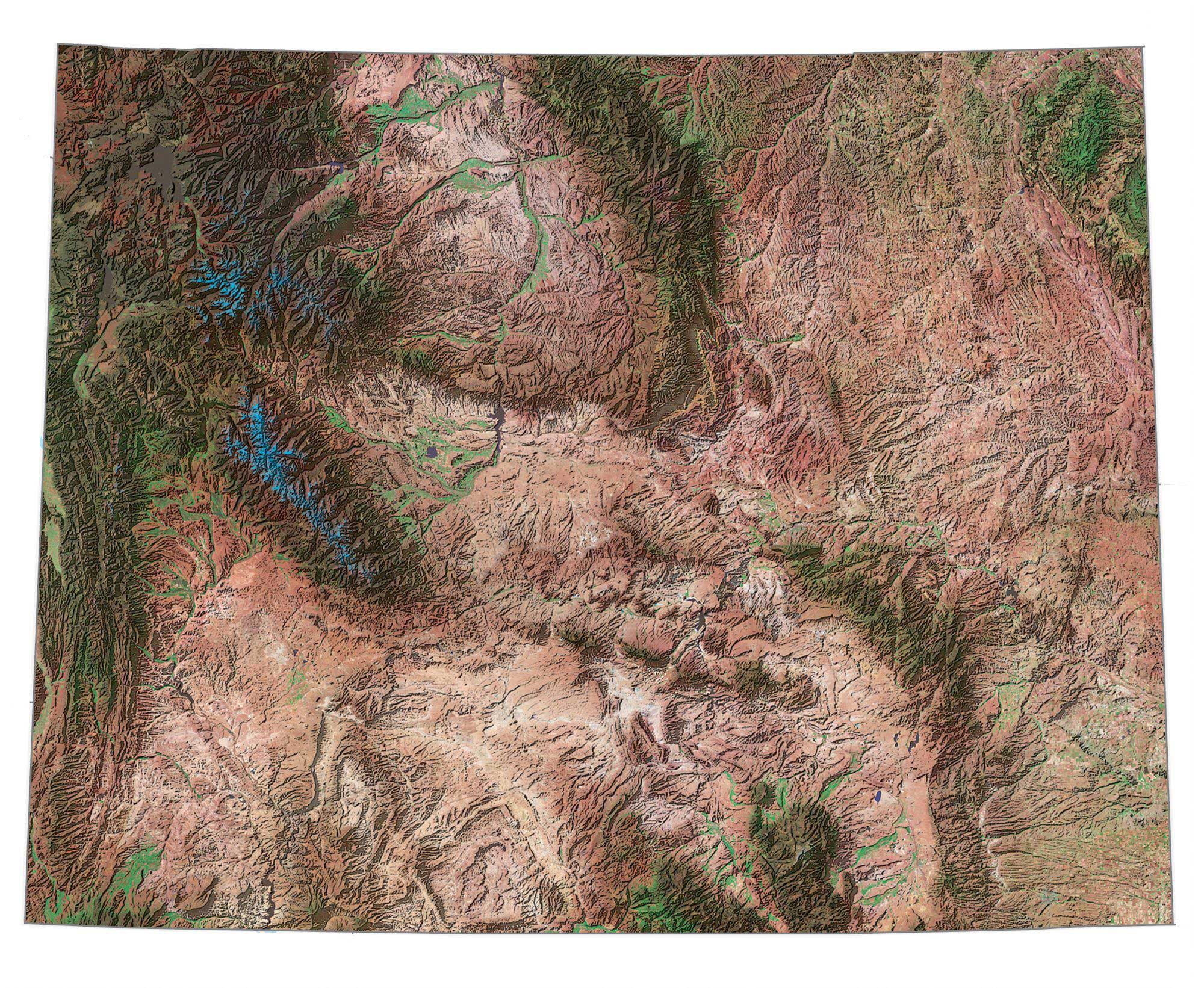
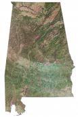
- SATELLITE MAP – Landsat composite satellite imagery of the state.
Select below from any of the 50 states to see a more detailed map. The state maps below are in public domain.

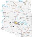
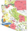
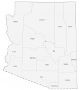
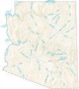
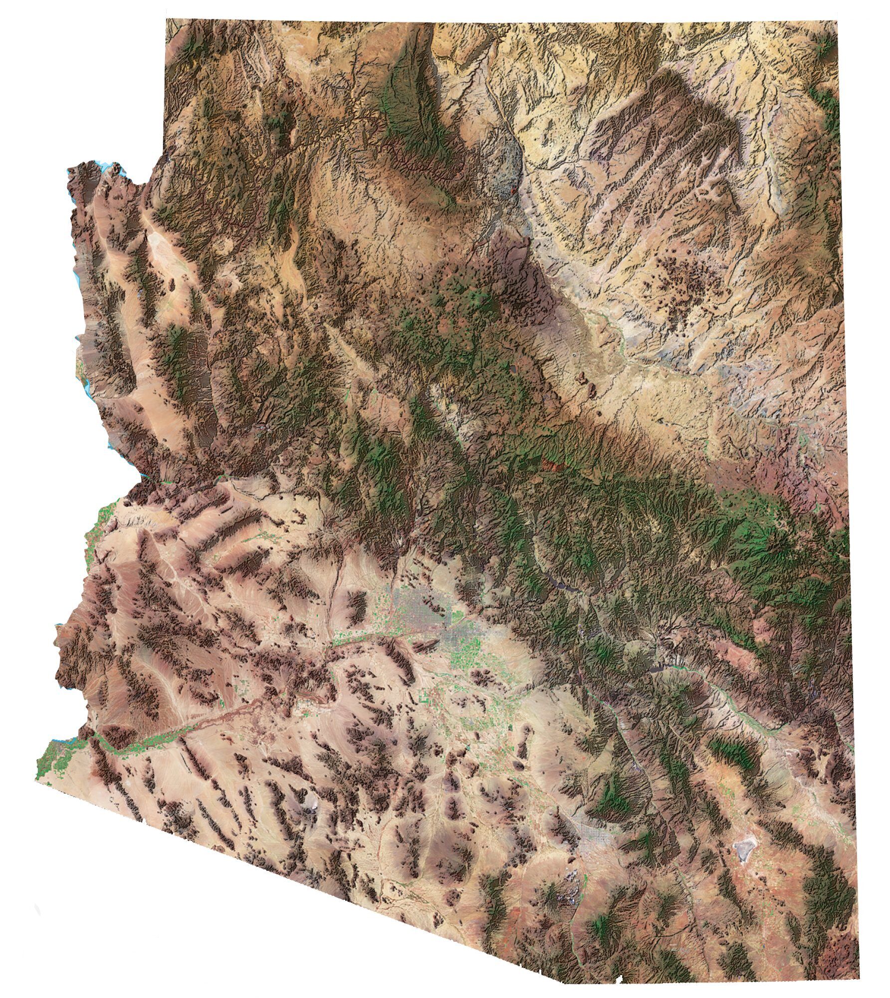
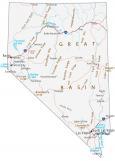
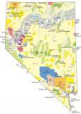
Arizona State Maps
City Maps of Arizona


California Maps
California Cities
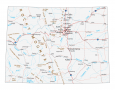
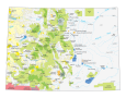
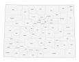
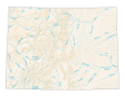
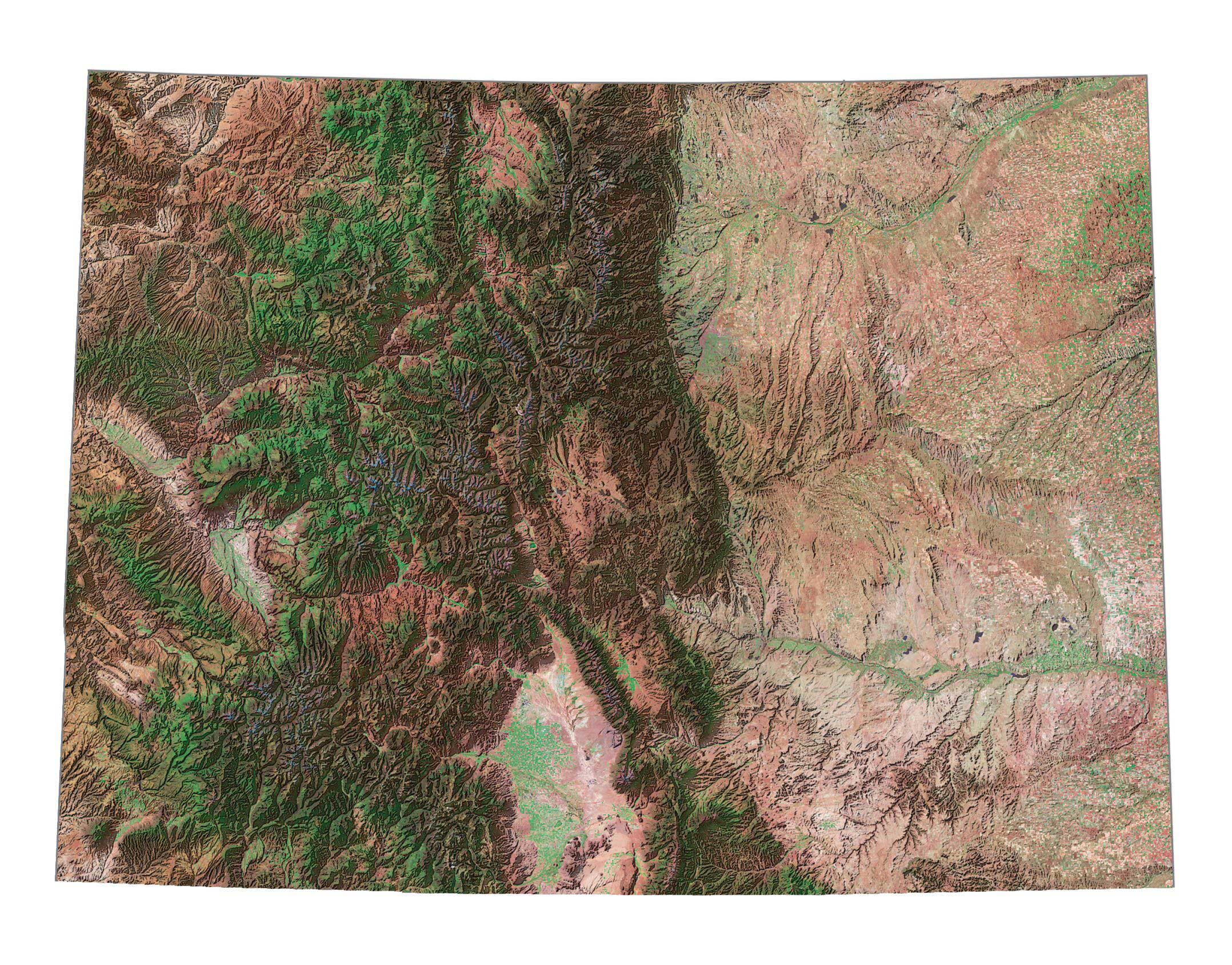
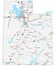
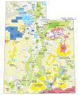
Colorado Maps
City Maps of Colorado
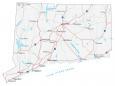
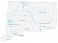
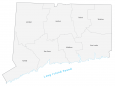
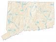
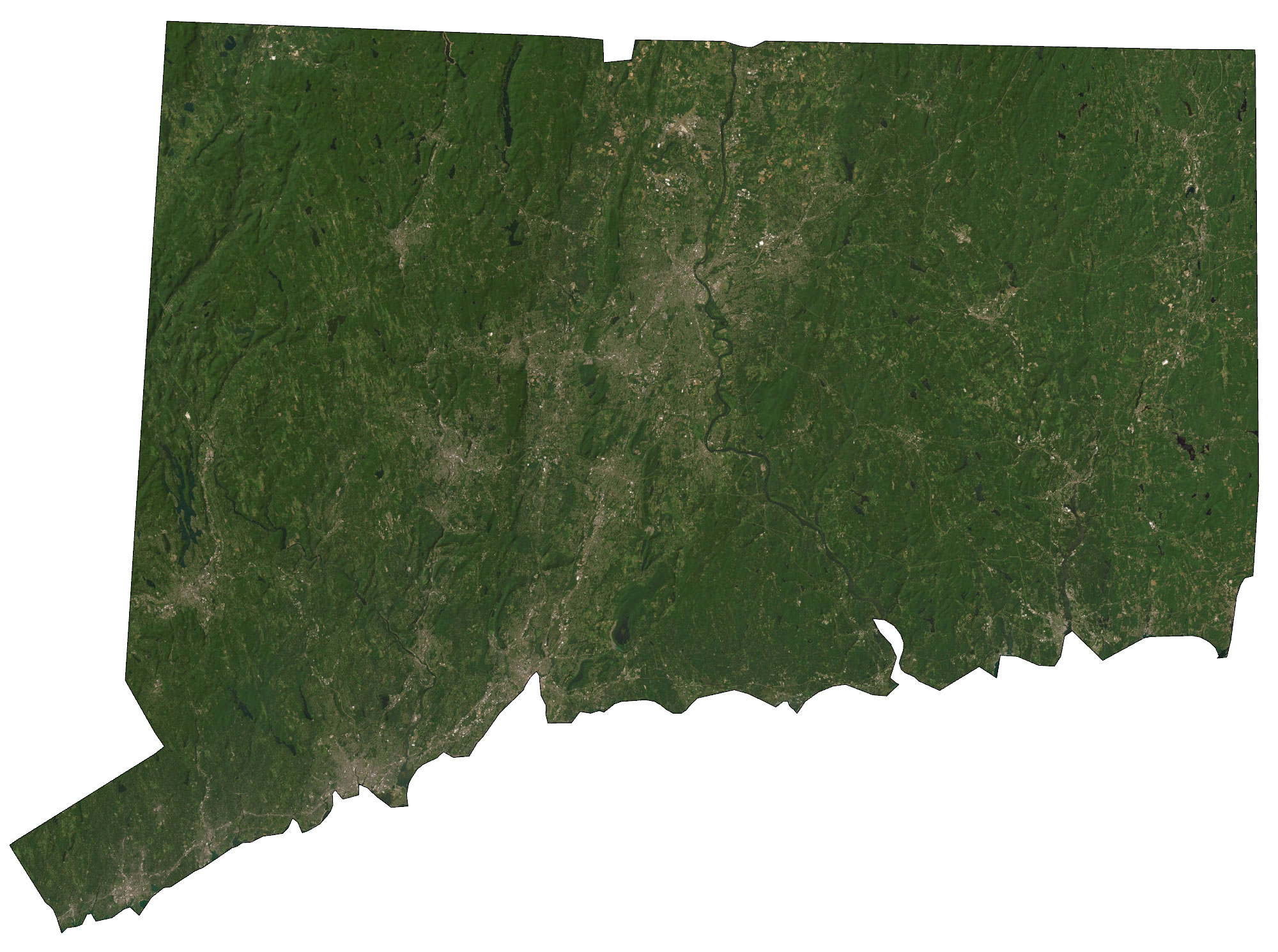
Connecticut Maps
Connecticut City Maps


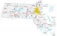
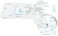
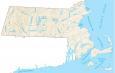
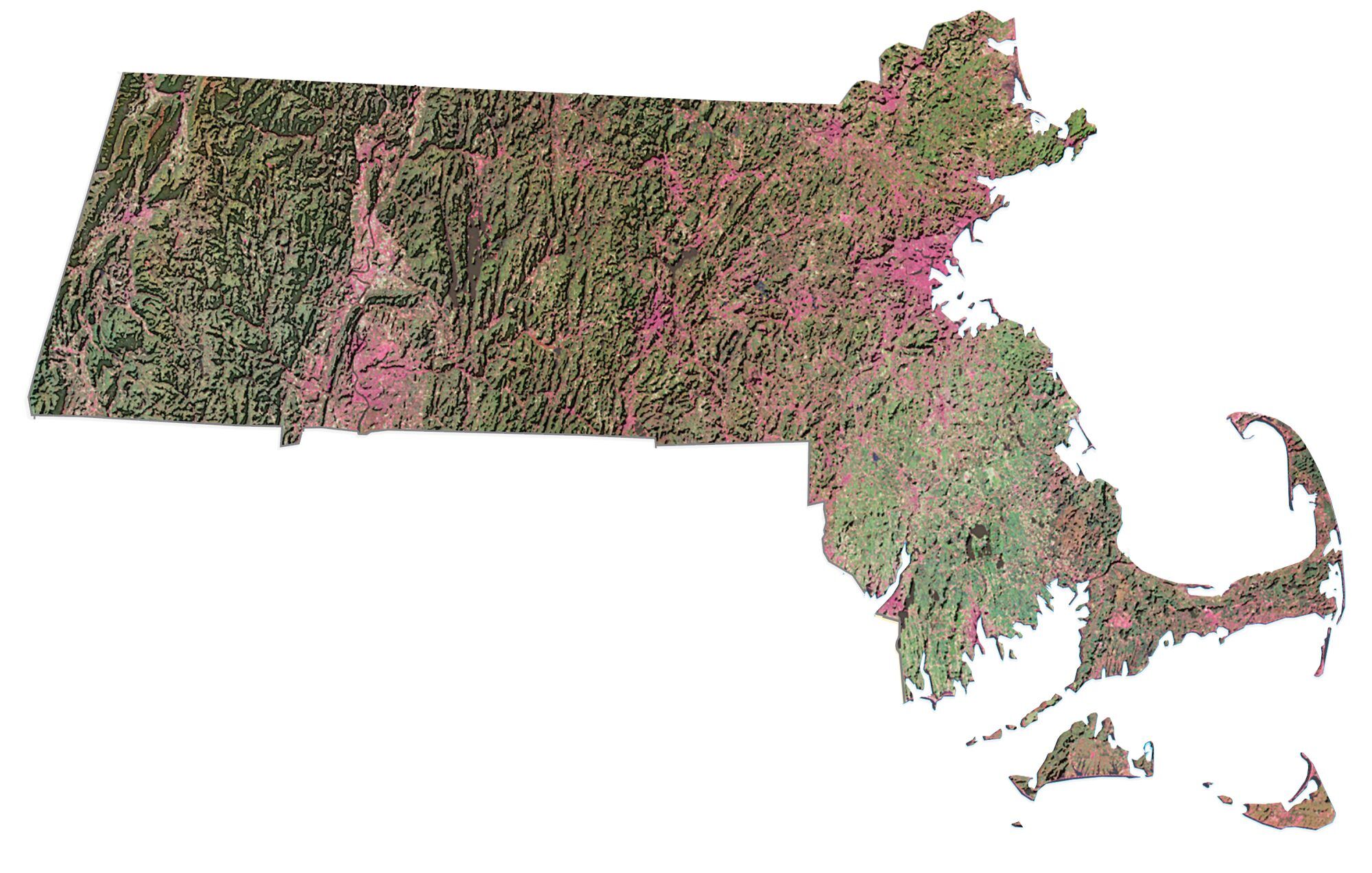
Massachusetts Maps
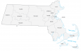
Massachusetts Cities


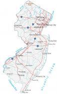
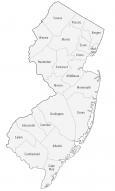
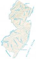
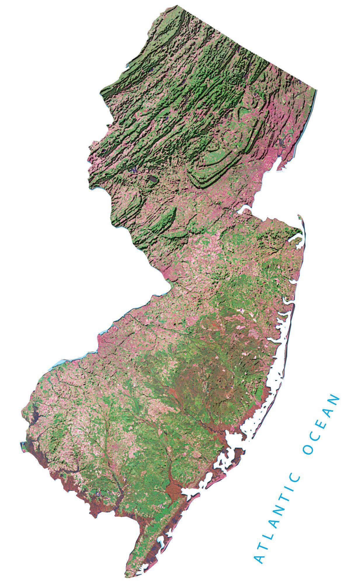
New Jersey Maps
City Maps of New Jersey
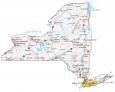
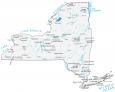
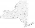
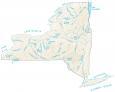
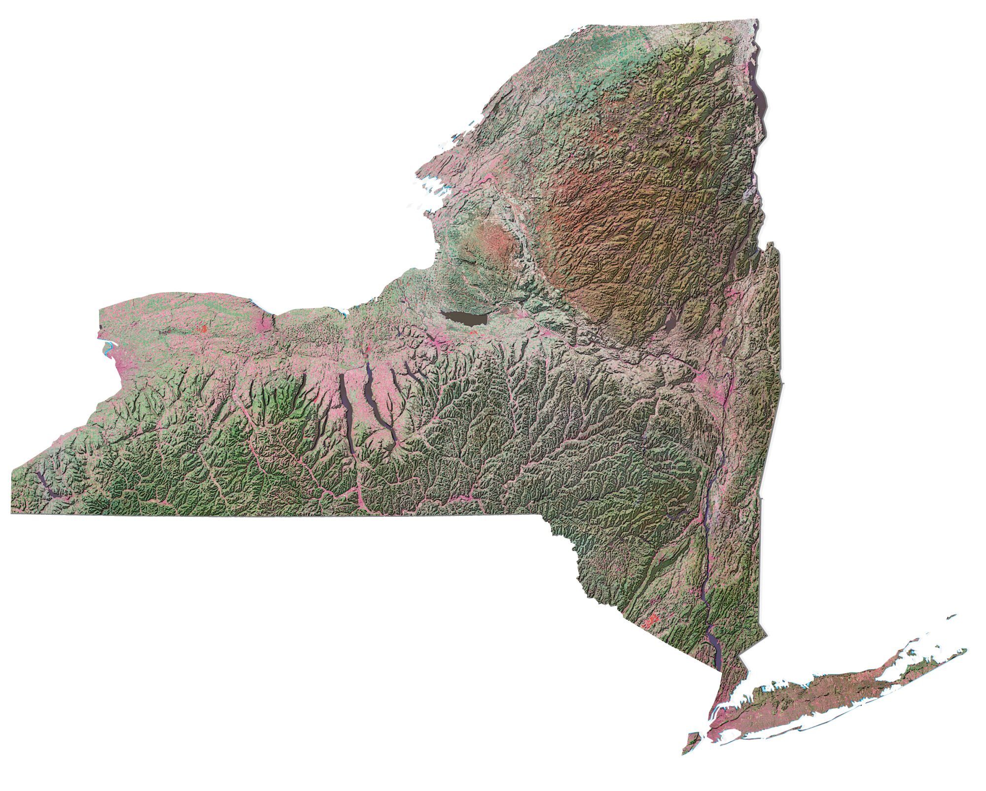
New York Maps
New York State Cities
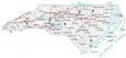
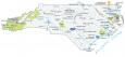
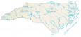
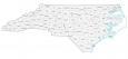
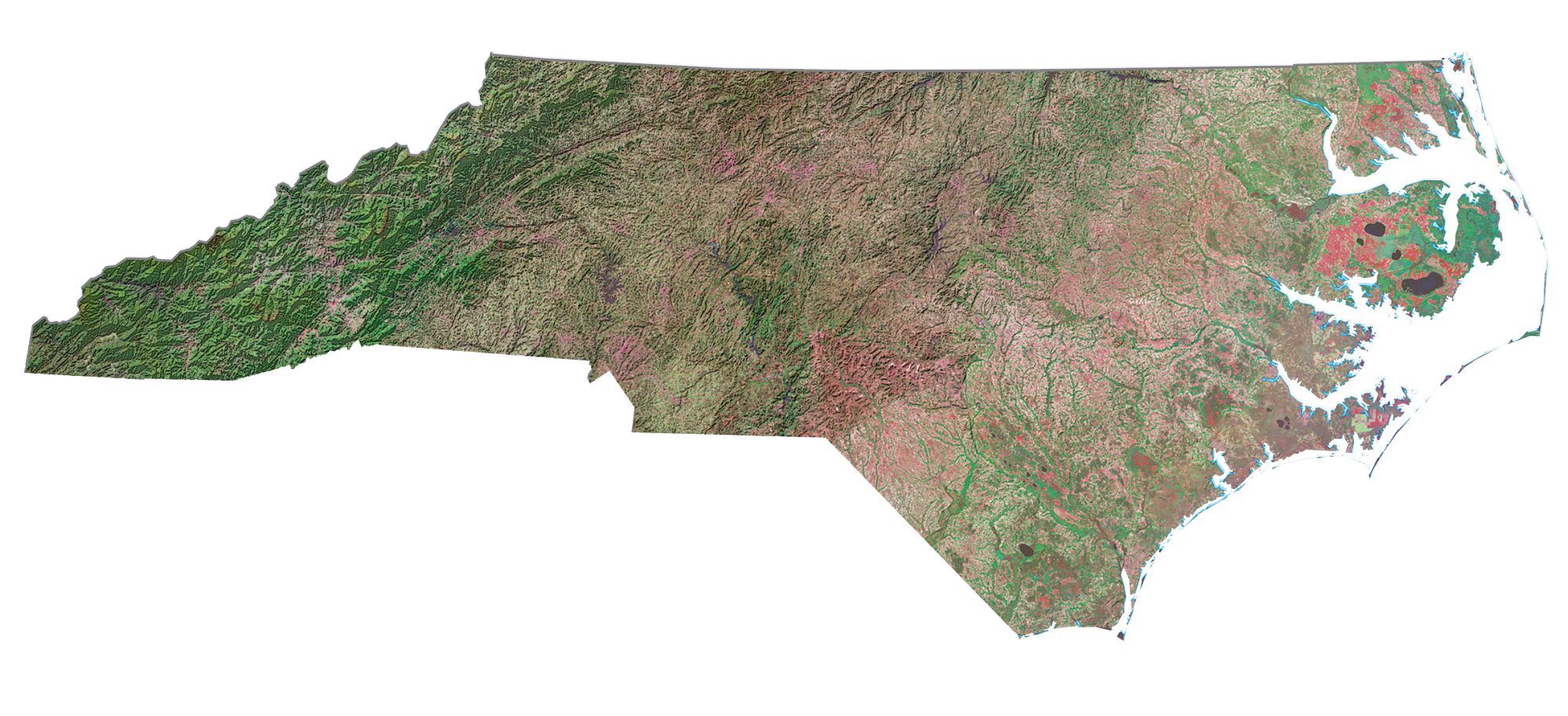
North Carolina Maps
City Maps in North Carolina
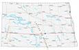
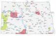
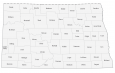
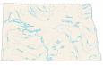
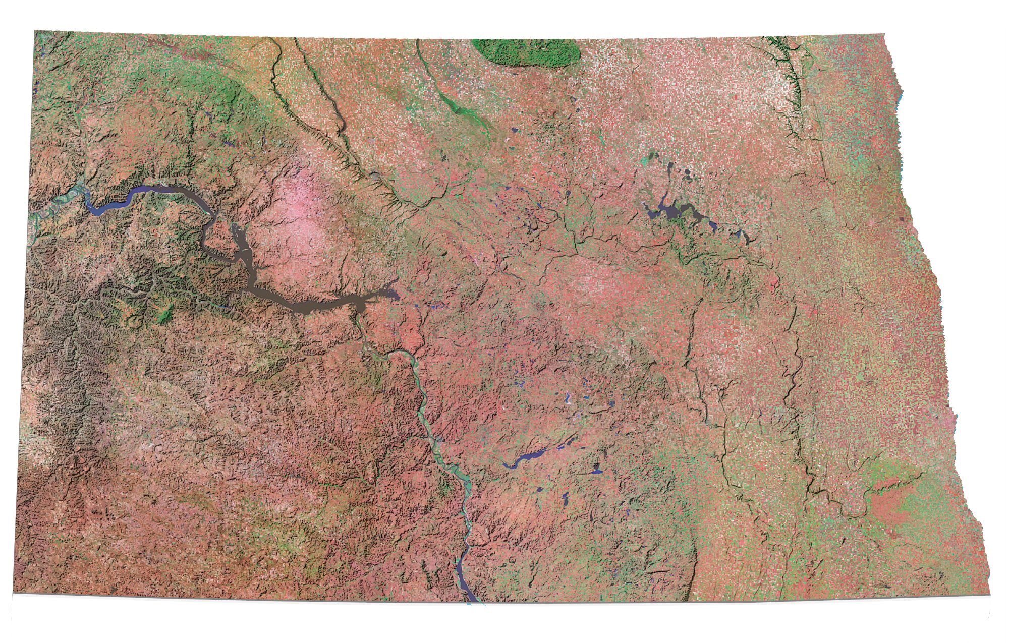
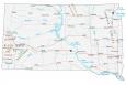
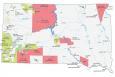
North Dakota Maps
North Dakota Cities

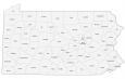
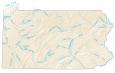
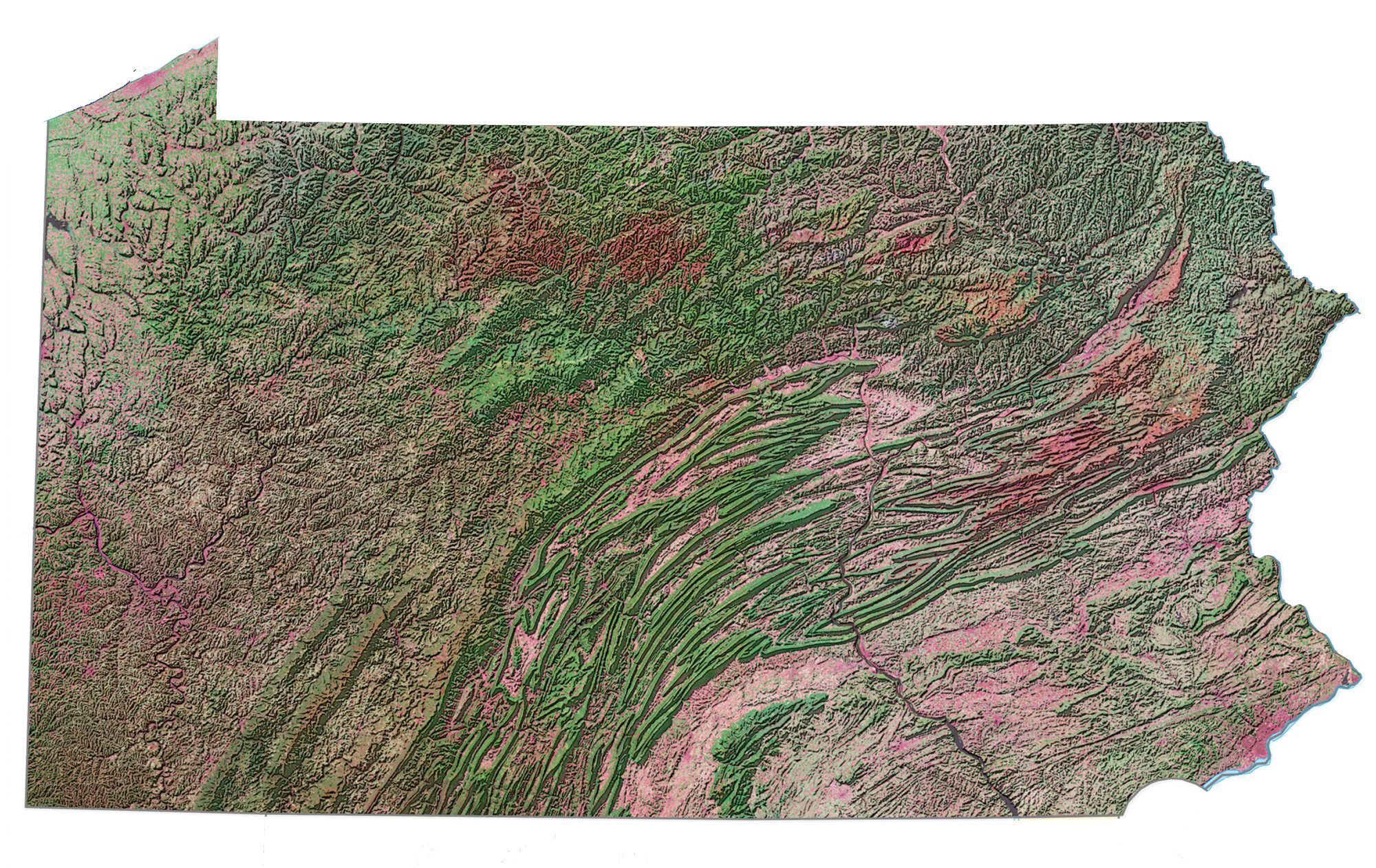
Pennsylvania Maps
Pennsylvania Cities
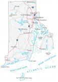
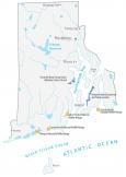
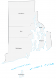
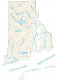
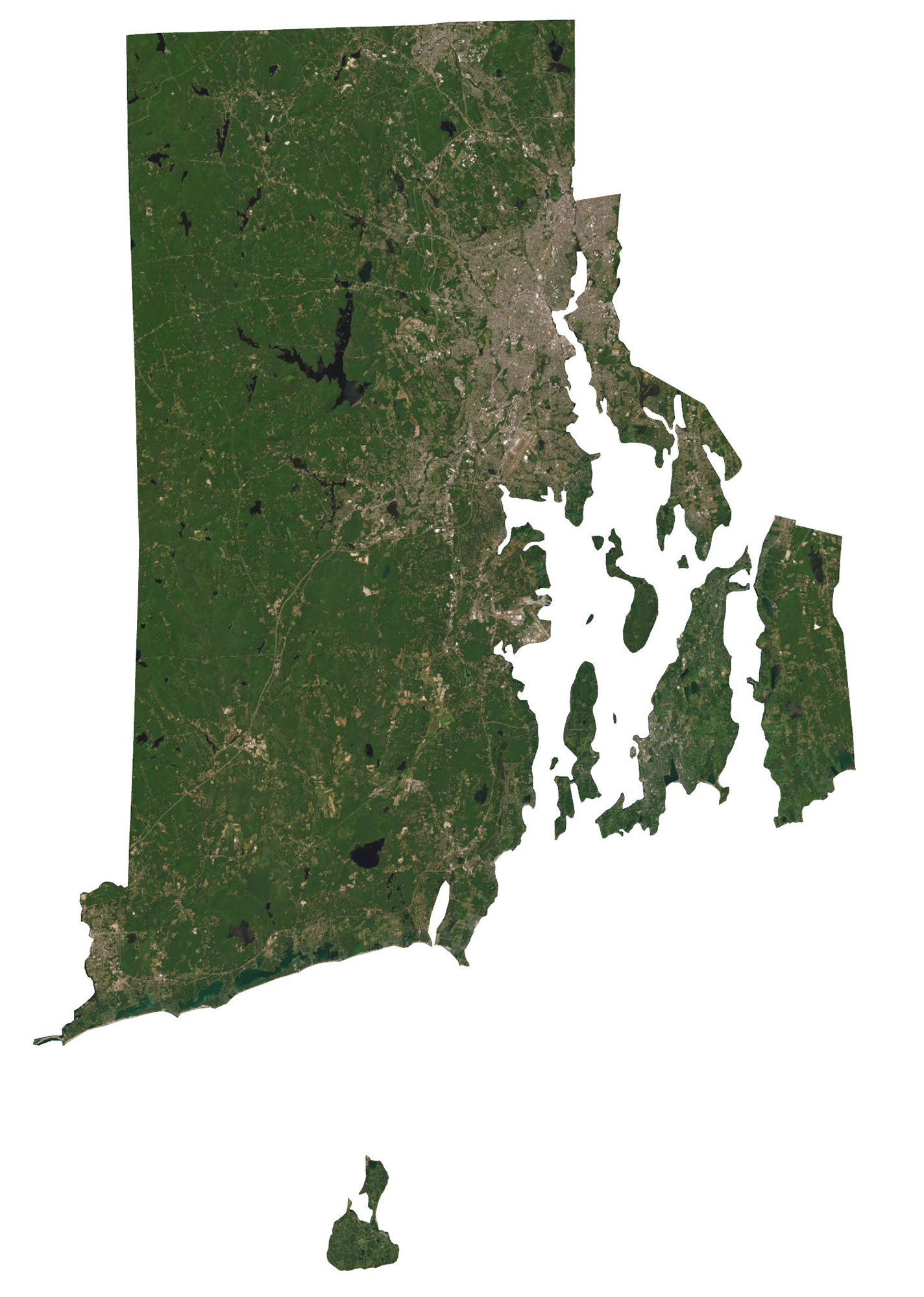
Rhode Island Maps
- Rhode Island Map
- County Map of Rhode Island
- State Map of Rhode Island
- Rhode Island Lakes & Rivers Map


i wish their was a map of all the states with names and abbreviations like Texas and Tx with capitals and major city’s but really good
It would be great to purchase a physical copy of these.
It’s a very good effort from your side.
Very nice works guy and gals, it makes it easy to travel and see sites in the U.S.