Vector vs Raster in GIS: What’s the Difference?
The main spatial data types are vectors and rasters. Rasters have grid cells while vectors are points , lines and polygons consisting of vertices & paths.
The main spatial data types are vectors and rasters. Rasters have grid cells while vectors are points , lines and polygons consisting of vertices & paths.

TIGER GIS data has transformed the GIS environment because it was the first nationwide digital map. It stimulated projects like MapQuest, Yahoo & Google.

Unsigned integer rasters are non-negative numbers. Signed integers can store negative values. IMG, TIFF & GRID formats are acceptable for signed integer
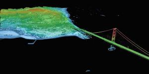
Does it feel like a big challenge to find LiDAR data sources? Master the art of attaining LiDAR at no cost with this list of 6 free LiDAR data sources.

Turbo-charge your search for free GIS data with this list of 10 free, downloadable global GIS datasets from highly reputable sources – vector and raster.
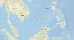
Natural Earth data is a free raster and vector (cultural and physical) data package containing the most common elements that you need to create a map.

ArcGIS shapefile files are composed of mandatory files (SHP, SHX and DBF) and optional files (PRJ, XML, SBN and SBX). This article lists their functions.

The USGS Earth Explorer is quick and easy to download free Landsat imagery & other remote sensing data. Enter ROI, define timeline and download for free.

Some of the best GIS weather data available can be found at NWS, PRISM, MADIS and Weather Source. This GIS weather data dates back from past to present.