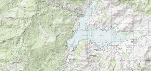
TerraPop Environmental & Demographic Data
TerraPop delivers internationally comparable environment and demographic data at a global scale – this includes raster, area-level and micro-data.
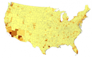
TerraPop delivers internationally comparable environment and demographic data at a global scale – this includes raster, area-level and micro-data.
Lossless compression (like JPEG) retains values and lowers file size. However, lossy compression (like LZ77) reduces file size by eliminating redundancy.
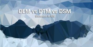
We explore the differences between DEM (bare earth), DSM (natural and built environment) and DTM (vector contours and regularly-spaced points).

Want to elevate your chances of finding a digital elevation model? Sure you do. You should dive into our list of free global DEM data sources.

If you’re searching for free satellite imagery, we rank the best sources of free satellite data from authoritative sources like NASA, USGS and Maxar.
If you want to download Sentinel satellite data, then you’ve come to the right place. We show you how to obtain free Sentinel satellite data.
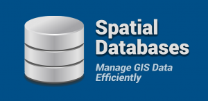
From geodatabases to PostGIS, spatial databases have quickly become the primary method of managing spatial data effectively in a GIS.
Over the years, the USGS has been a driving force in the production of GIS data. The USGS formats we explore are DLG, DRG and DOQ.
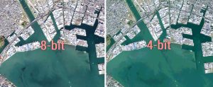
Bit depth is the amount of detail in each pixel expressed in units of bits. 1-bit rasters contain 2 values while 8-bit rasters range from 0-255
Deploying efficient raster GIS compression techniques means reducing storage space. It can save money, time and also help network performance.