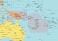
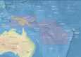
Political and Physical Map of Melanesia
Do you need a map of Melanesia? Well, you’re in luck because we have two separate maps (1) political map and (2) physical map.
We encourage you to use these maps. The only thing that we expect in return is a custom to the source of the map. See below for more information.
You are free to use our maps of Melanesia for educational and commercial uses. Attribution is required. How to attribute?
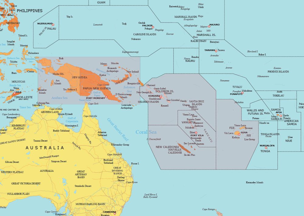
Detailed Map of Melanesia
On this detailed map of Melanesia, you’ll be able to find political boundaries. It clearly marks the boundaries of countries like Papua New Guinea, Solomon Islands, Vanuatu, and Fiji.
This map also depicts major cities and country capitals. We’ve labeled cities like Port Moresby, Honiara, Port Vila, and Suva, including major islands in Melanesia.
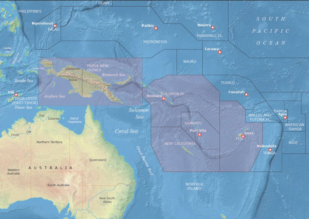
Physical Map of Melanesia
The purpose of this map is to highlight physical features. You’ll be able to explore key geographical features such as ocean bathymetry, rivers, and geographical regions.
One key aspect of this map is that it also shows islands and archipelagos. You’ll be able to find smaller islands and archipelagos, including the surrounding Micronesia and Polynesia.
Which countries belong to Melanesia?
Below is a table with the various countries and dependencies that belong to the Melanesian region.
| Country/Territory | Description of Geography |
|---|---|
| Papua New Guinea | Mountainous, with dense rainforests, numerous islands, and active volcanoes. |
| Solomon Islands | Archipelago with mountainous islands, dense forests, and many small islets. |
| Fiji | Over 300 islands, mostly volcanic, with mountainous terrain and tropical forests. |
| Vanuatu | Archipelago of volcanic origin, with mountainous interiors and coastal reefs. |
| New Caledonia (France) | A mix of coastal plains, mountains, and a large barrier reef surrounding the main island. |
| West Papua (Indonesia) | Mountainous, home to the Maoke Mountains, with dense forests and a rich biodiversity. |
World Atlas of Oceania
Get to know the regions of Australasia, Melanesia, Micronesia, and Polynesia with our world atlas of Oceania. This atlas provides detailed maps, satellite images, and all the essential geographic information you need.


