Nevada County Map and Independent City
About the map
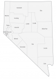
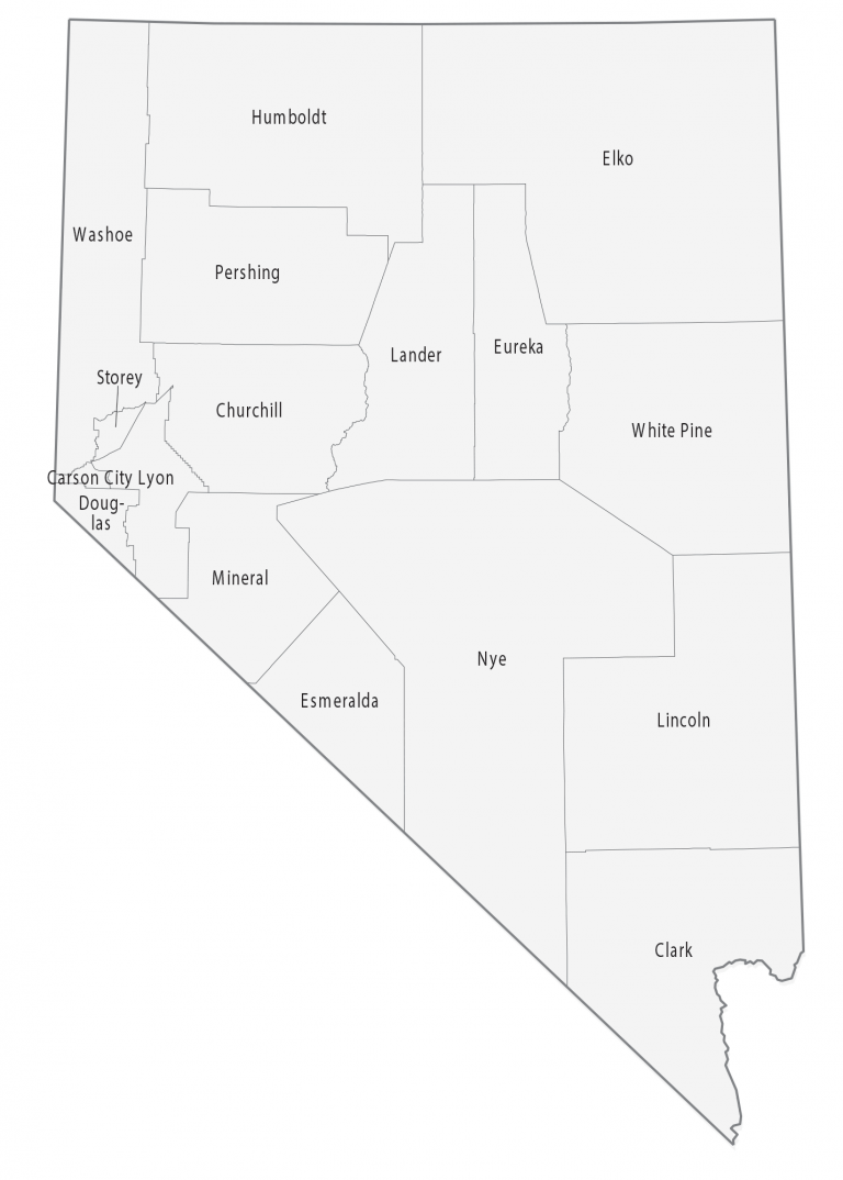
This Nevada county map displays its 16 counties and one independent city (Carson City). If you look outside of Nevada, the states of Maryland, Missouri, and Virginia also have independent cities. These government units are outside the jurisdiction of any county.
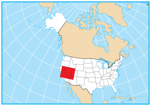
The most populated county in Nevada with 2.25 million people and is home to Las Vegas. In fact, it ranks 11th in all of the United States for the highest population. The least populated county in Nevada is Esmeralda County with just under 900 residents.
For area, Nye County and Elko County are the largest counties in Nevada occupying areas over 17,000 square miles. Both counties occupy desert-like terrain in central and northeast Nevada. The independent city of Carson City only occupies a bit over 150 square miles. Next, Storey County is quite small at a bit over 250 square miles in size.
You are free to use our county map of Nevada for educational and commercial uses. Attribution is required. How to attribute?
Nevada county list
| FIPS Code | Name | Land (sq mi) | Water (sq mi) | Population (2024) |
|---|---|---|---|---|
| 32-001 | Churchill County | 4930.6 | 93.6 | 26,033 |
| 32-003 | Clark County | 7891.6 | 169.3 | 2,398,871 |
| 32-005 | Douglas County | 709.7 | 27.9 | 49,564 |
| 32-007 | Elko County | 17169.1 | 33.1 | 54,363 |
| 32-009 | Esmeralda County | 3581.9 | 7.2 | 720 |
| 32-011 | Eureka County | 4175.7 | 4.3 | 1,877 |
| 32-013 | Humboldt County | 9640.7 | 17.1 | 17,116 |
| 32-015 | Lander County | 5490.1 | 29.4 | 5,785 |
| 32-017 | Lincoln County | 10633.3 | 3.8 | 4,345 |
| 32-019 | Lyon County | 2001.2 | 23.0 | 63,718 |
| 32-021 | Mineral County | 3752.8 | 60.1 | 4,475 |
| 32-023 | Nye County | 18181.8 | 16.7 | 55,990 |
| 32-027 | Pershing County | 6036.6 | 30.9 | 6,536 |
| 32-029 | Storey County | 264.0 | 0.7 | 4,112 |
| 32-031 | Washoe County | 6301.4 | 239.7 | 507,280 |
| 32-033 | White Pine County | 8874.6 | 21.1 | 8,534 |
| 32-510 | Carson City Independent City | 144.7 | 12.6 | 58,148 |

