Map of Nicaragua – Cities and Roads
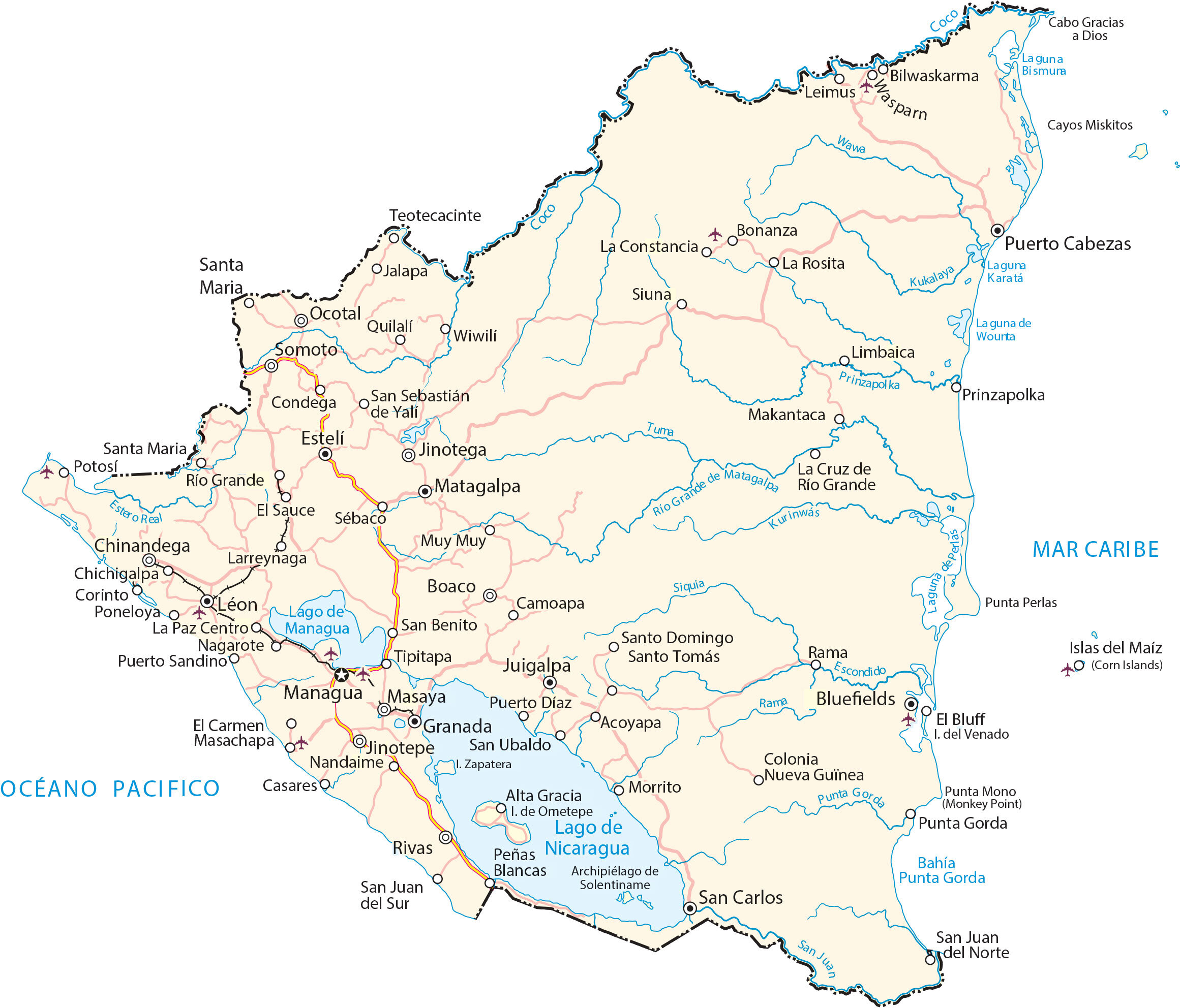
This map of Nicaragua shows its major cities, roads, and rivers. Also, it includes satellite imagery and an elevation map to view all of its lakes, volcanoes, and mountainous terrain.
Nicaragua map collection

You are free to use our Nicaragua map for educational and commercial uses. Attribution is required. How to attribute?
About the map
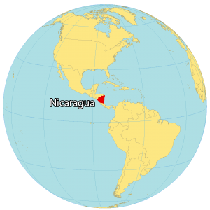
Nicaragua is known as the land of lakes and volcanoes. Because not only is home to the two largest freshwater lakes in Central America, but it also has 19 active volcanoes in the country. Nicaragua is a Central American country located between the Pacific Ocean and the Caribbean Sea.
It borders just 2 countries including Honduras to the north and Costa Rica to the south. Managua is not only the capital, but it’s also the third-largest city in Central America. Other major cities in Nicaragua are León, Tipitapa, and Masaya.
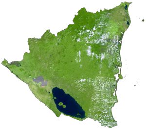
SATELLITE IMAGERY
Nicaragua Satellite Map
Nicaragua occupies an area of 130,375 square kilometers (50,338 sq mi), which makes it the largest country in Central America. In comparison, its size is larger than Honduras but smaller than Suriname. The country is known for its volcanoes, lakes, and beaches.
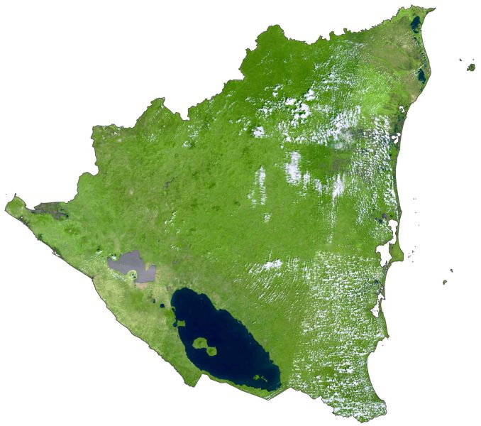
For example, Momotombo is a stratovolcano on the shores of Lake Managua, just north of the capital Managua. Nicaragua is also home to the two largest freshwater lakes in Central America – Lake Managua and Lake Nicaragua. At 750 km (470 mi) long, the Coco River (Rio Coco) is the longest river in Nicaragua. It lies between 11°N to 15°N latitude along the coast so it has a tropical climate.
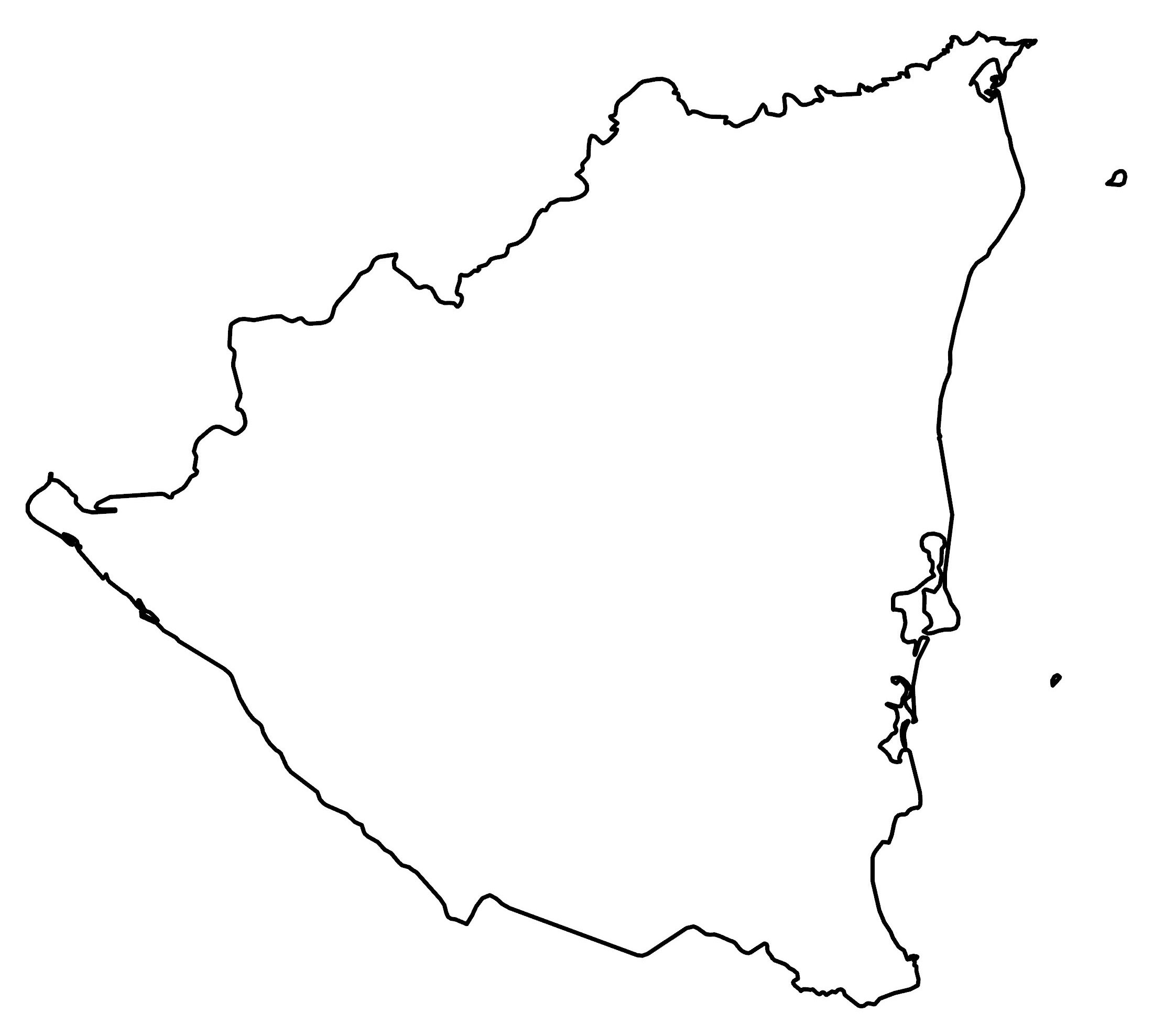
PHYSICAL MAP
Nicaragua Elevation Map
The terrain of Nicaragua is mostly coastal plains along the Pacific Ocean and the Caribbean Sea. Then, it transitions to an interior chain of mountains, which is the Cordillera Isabella. Its east coast forms part of the Mosquito Coast with Honduras to the north.

Whereas its west coast contains the Pacific Lowlands. Overall, its three regions are the Pacific Lowlands, Central Highlands, and the Caribbean Lowlands. At 2,103 meters (6,900 ft), Mogotón Peak is the highest point in Nicaragua. Whereas its lowest point is the Pacific Ocean at sea level.
Capital City
Managua
Major cities
Chinandega
Esteli
Granada
Juigalpa
León
Masaya
Matagalpa
Tipitapa
Cities, towns and villages
Acoyapa
Alta Gracia
Bilwaskarma
Boaco
Bonanza
Cabo Gracias
Camoapa
Casares
Chichigalpa
Condega
Corinto
El Bluff
El Carmen
El Sauce
Jinotepe
Jinotega
La Cruz de Río Grande
La Paz Centro
Larreynaga
Leimus
Masachapa
Nagarote
Nandaime
Nueva Guinea
Ocotal
Potosí
Puerto Cabezas
Puerto Díaz
Puerto Sandino
Rivas
San Benito
San Carlos
San Juan del Norte
San Juan del Sur
San Sebastián de Yalí
San Ubaldo
Santa María
Santa María de Yalí
Santo Domingo
Santo Tomás
Sébaco
Siuna
Somoto
Wasparn
Wiwilí
Lakes, rivers and water features
Bahía Punta Gorda
Cayos Miskitos
Coco River
Escondido River
Kukalaya River
Kurinwas River
Lago de Managua
Lago de Nicaragua
Laguna de Wounta
Laguna de Perlas
Laguna de Bismura
Mar Caribe
Pacific Ocean
Prinzapolka River
Punta Gorda River
Rama River
Río Grande
Río Grande de Matagalpa
San Juan River
Siquia River
Tuma River
Wawa River
Islands and points
Corn Island
Isla del Venado
Ometepe Island
Punda Mono (Monkey Point)
Solentiname Islands
Zapatera Island