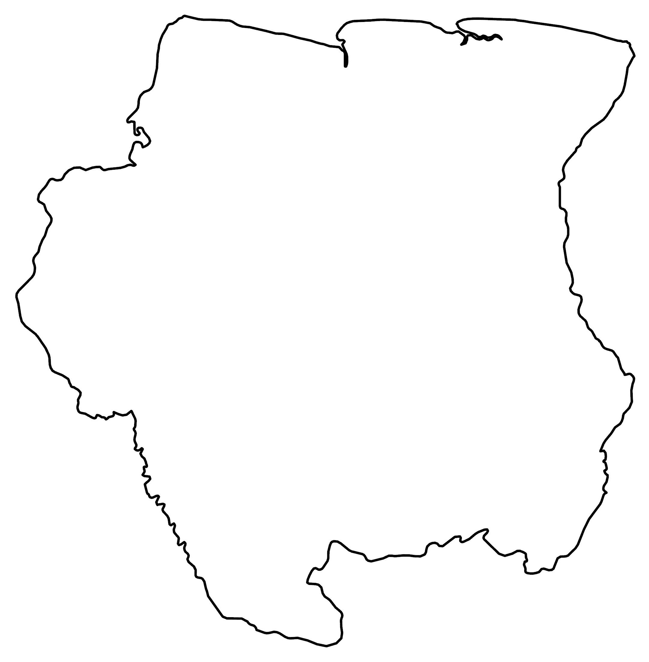
Map of Suriname
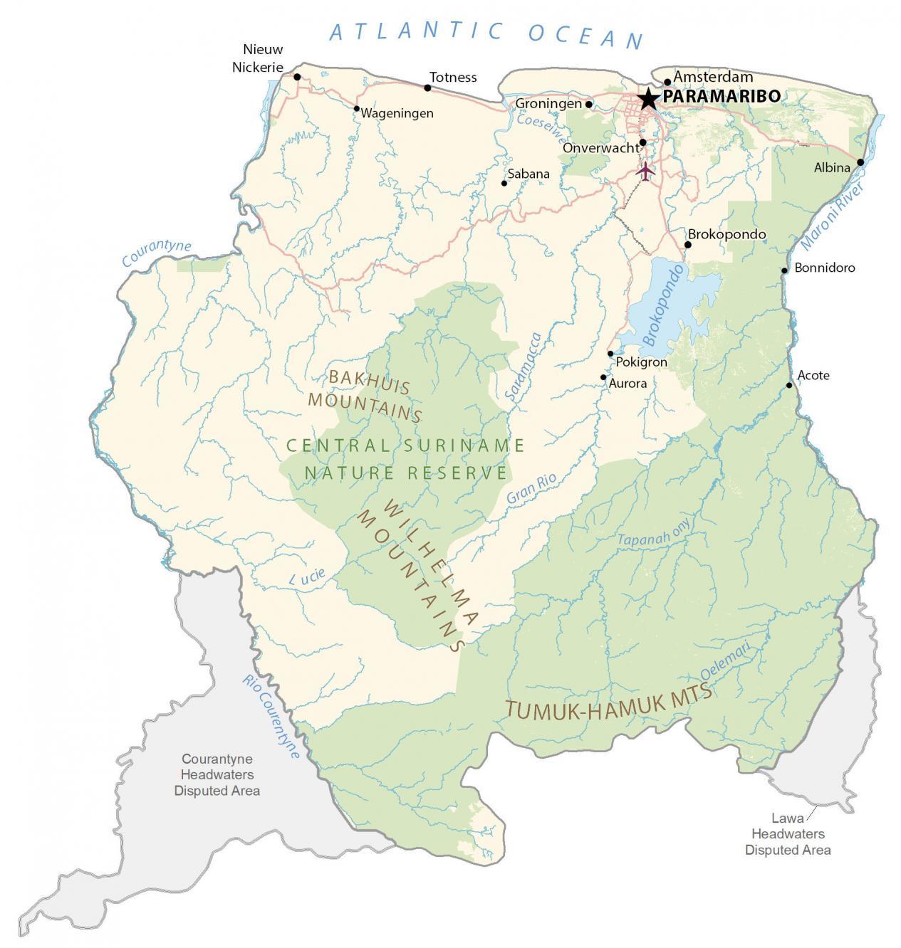
Suriname is a country in the northeast of South America. This map of Suriname contains satellite imagery and an elevation map. It also shows cities, towns, highways, roads, lakes, rivers, and disputed areas.
Suriname map collection
You are free to use our Suriname map for educational and commercial uses. Attribution is required. How to attribute?
About the map
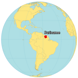
Suriname is a South American country located to the northeast along the coast of the Atlantic Ocean. It’s known for its nature reserves, tropical rainforests, and ethnic diversity. It borders 3 other countries including Guyana to the west, French Guyana to the east, and Brazil to the south.
Suriname is the smallest country in South America occupying an area of just 163,821 square kilometers (63,252 sq mi). Also, it’s the second least populated country with the majority of people living on the north coast. Paramaribo is the capital and largest city, also located in the north. Other towns are Lelydorp, Brokopondo, Brokopondo, and Nieuw Nickerie.
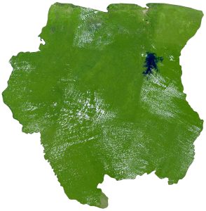
SATELLITE IMAGERY
Suriname Satellite Map
Suriname is covered in tropical rainforests with low deforestation. Forests cover 93% of its area including the 1.6 million hectares as part of the UNESCO World Heritage Site, the Central Suriname Nature Reserve. Suriname has several disputed areas with Guyana and French Guiana.

First, both Suriname and Guyana claim the Tigri Area to the southwest of Suriname. Secondly, its other disputed territory is the Lawa headwaters area with French Guiana. It lies mostly between latitudes 1°N and 6°N above the equator so the climate is mostly tropical in Suriname.
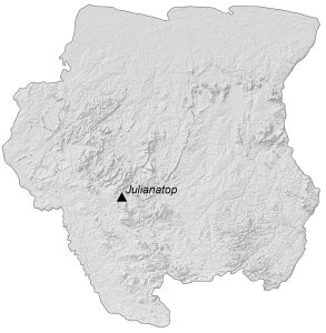
PHYSICAL MAP
Suriname Elevation Map
The terrain of Suriname is a mix of rolling hills, swamps, and coastal plains. But it has several significant mountain chains. For example, the Tumuc-Humac Mountains straddle its border with Brazil. Whereas the Bakhuis Mountains is a smaller chain that runs along the Coppename River.
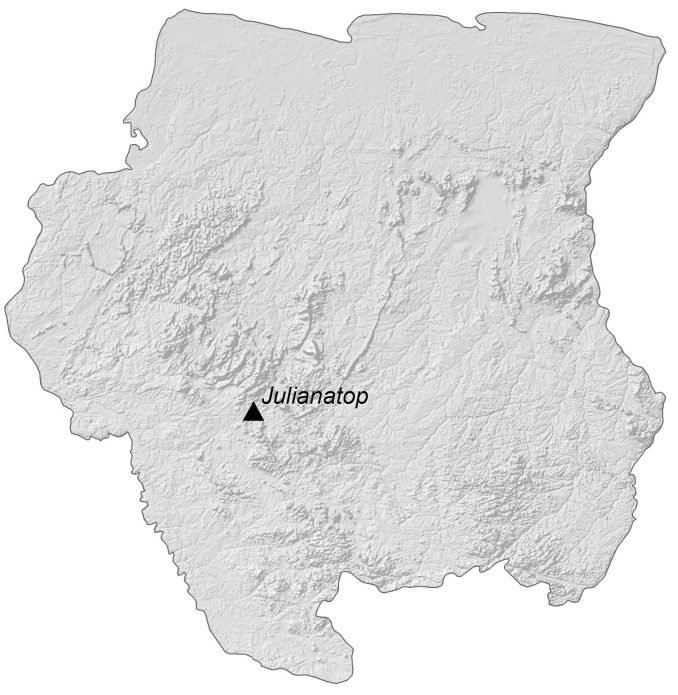
The Wilhelmina Mountains run in a north-south direction and contain Julianatop. At 1,280 meters (4,199 ft), it is the highest peak in Suriname, located on the west-central. The Courantyne is the longest river in Suriname and marks its border with Guyana. Otherwise, Blommestein Lake covers close to 1% of Suriname and is its largest lake.
Capital City
Paramaribo
Populated places
Acote
Albina
Amsterdam
Aurora
Bonnidoro
Groningen
Nieuw Nickerie
Onverwacht
Pokigron
Sabana
Totness
Wageningen
Rivers, reservoirs and water
Atlantic Ocean
Brokopondo Reservoir
Coeseiwe River
Courantyne River
Gran Rio
Maroni River
Oelemari River
Saramacca River
Tapanahony River
Landforms and geography
Bakhuis Mountains
Wilhelma Mountains
Tamuk-Hamuk Mountains
Parks and nature reserves
Central Suriname Nature Reserve
Disputed areas
Courantyne Headwaters Disputed Area
Lawa Headwaters Disputed Area


Except the very first map of Suriname on top of the page, the other 3 shown are incomplete and incorrect. Showing the border depiction like this, without marking and acknowledging the disputed areas gives a misleading representation of the situation. I hope you get the chance to correct those maps too.