7 Best Features of XTools Pro
XTools Pro is a special add-on for ArcMap and ArcGIS Pro. It’s mostly a tool for GIS analysis. But it has a fair share of productivity tools.

XTools Pro is a special add-on for ArcMap and ArcGIS Pro. It’s mostly a tool for GIS analysis. But it has a fair share of productivity tools.
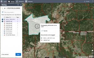
With the ArcGIS Maps for Sharepoint solution, users can quickly view and explore their geographic data within their SharePoint environment.
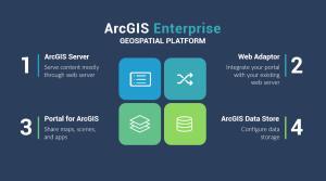
ArcGIS Enterprise is a back-end software that allows you to control how to implement web GIS and serve spatial data across an organization.
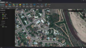
ArcGIS Drone2Map allows you to streamline your data collection with drones by providing a robust set of tools and automated workflows.
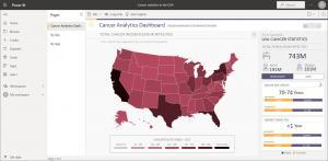
ArcGIS for Power BI is a tool that helps users analyze and visualize location-based data directly in Microsoft Power BI reporting dashboards.

The ArcGIS for AutoCAD plugin is a bridge between both software that gives you interoperability for image services and editing features.
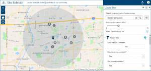
Because data analysis is a critical part of any business, Esri Business Analyst offers a suite of tools to help you make better decisions.

This beginner’s guide to ArcGIS Earth will help you navigate through the program and get started on your path to exploring the globe.
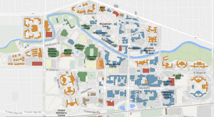
ArcGIS Indoors is a complete indoor mapping solution for smart building management, planning indoor space, and monitoring facility operations.
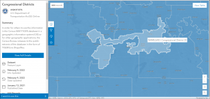
The Esri Redistricting tools provide an easy and efficient way that helps state legislatures redraw accurate redistricting boundary maps.