Free Points of Interest (POI) GIS Data
Looking for points of interest that you can use for your maps? Don’t worry we got you covered with our list of free POI GIS data sources.
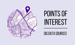
Looking for points of interest that you can use for your maps? Don’t worry we got you covered with our list of free POI GIS data sources.
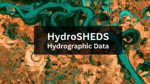
HydroSHEDS is a free GIS data source (sub-basins, rivers, lakes, waterfalls, and more) for water resources management and decision-making.

These 3 unmanned aerial vehicle (UAV) data platforms provide us with access to high-quality and free drone imagery in geospatial format.
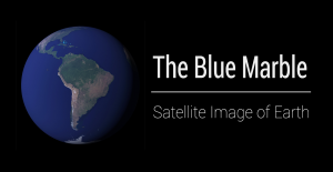
This article explains the 5 versions of the Blue Marble (Apollo 17 was the first) and how you can download each NASA satellite image of Earth.
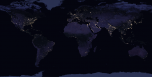
By stitching 400+ images from space, NASA’s Black Marble (Earth at Night) map the most comprehensive night view using Suomi NPP imagery.
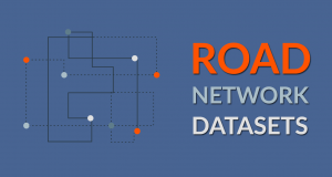
We list the top geometric networks as GIS data sources that you can use for routing, geocoding, map display or any type of network analysis.

This post is dedicated to Antarctica data. If you’re trying to find data for the South Pole, then we have research stations, satellite imagery and much more.
The expression goes: “You can’t manage what you can’t measure”. And for measuring climate, it’s world climate data that benchmarks the health of our planet.
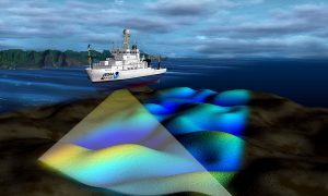
Have you ever wanted to look deep into the ocean and see its topography? Turns out, you actually can with this list of ocean bathymetry data.
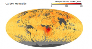
Since 1999, NASA Earth Observatory has kept a close eye on the environment (fires, atmospheric gases, land use) and global climate change.