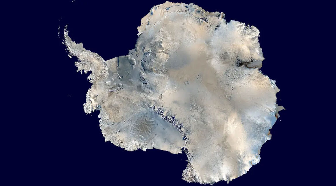
Antarctica Data Sources: Mapping the South Pole
GIS Data for Antarctica
If you’ve seen our article on Antarctica maps, this post is dedicated to Antarctica data.
Because when you’re trying to find data for the South Pole, then we have some of the best for you to test out.
This includes research stations, satellite imagery, and environmental management.
Take a look below.
1. Quantarctica Antarctica Data
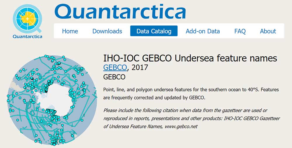
Quantarctica is the most specialized resource on this list. This open-source Antarctica data package is openly available for research, education, and operations in Antarctica.
Its data catalog spans everything from ice cores to geology and environmental management. The best part? The data continues to expand with new contributions from the research community!
2. USGS Earth Explorer
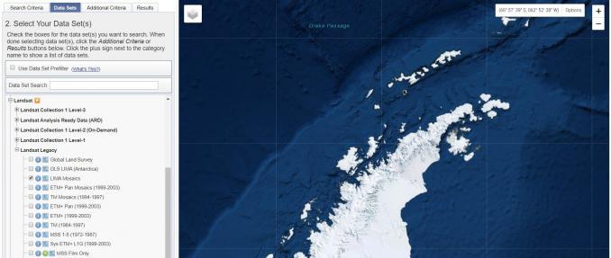
Out of all the data portals in the world, we rank USGS Earth Explorer as the top resource for satellite imagery. But it doesn’t only have data from satellites.
If you investigate a bit further, you can find aerial imagery, calibration and instrument sites for Antarctica. If you’re looking for more up-to-date satellite imagery for Antarctica, you can find scenes from Sentinel-2 and Landsat-8.
3. Antarctica Research Atlas
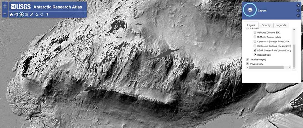
This interactive USGS Atlas of Antarctica lets you pick and choose exactly what you want to see in your own customized map. For example, you can turn off and on geographic names, hydrography, elevation, and physiography.
It was also built by the United States Geological Survey (USGS). That’s how you know the data sources are authoritative. Give it a try for yourself because it’s pretty neat.
GIS Data for Antarctica
Now that you have some data for Antarctica, it’s time to give it a test drive.
Try some open source GIS software, and put your foot on the gas. Here’s a QGIS tutorial to help you get started.
Now, it’s your turn. What Antarctica data do you want to see? Or are we missing any sources? What are some other good sources of data for the South Pole?
Please let us know with a comment below.


Further explanation is here: https://www.scar.org/science/geomap/geomap/ “GeoMAP is a collection of datasets comprising geological information for Antarctica, including both rock and surficial deposit information. They have been compiled by the GeoMAP team led by GNS Science. This work utilized co-funding from GNS Science’s Nationally Significant Databases and Collections Programme (NSDC) and international collaboration through the SCAR GeoMAP project.
GeoMAP represents a synthesis of existing published and unpublished mapping of the geology of this area in a single geodatabase at a regional scale. The data comprises geological unit polygon geometry and attribute fields describing the unit type, name, age, lithology, stratigraphy, and supporting background information, where this is known and geological fault polyline geometry and attribute fields describing locational accuracy, exposure, fault type, and supporting background information, where this is known.”