Indoor Mapping in GIS
Indoor mapping specializes in mapping building floor plans. It can incorporate Revit, BIM, and CAD, and build floor plans from buildings.

Indoor mapping specializes in mapping building floor plans. It can incorporate Revit, BIM, and CAD, and build floor plans from buildings.
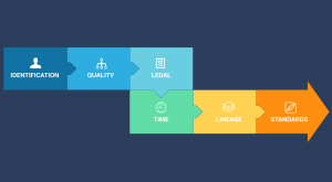
Metadata is like an instruction manual for data. It describes who, what, when, where and why for data. At the same time, it has to be detailed & dependable.
Geostatistics is the study of statistics with a focus on finding patterns of geographic phenomena using variograms, kriging and validation.

The Internet of Things (IoT) connects billions of sensors from around the world, enabling the exchange of information between them.
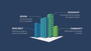
Geodesign is the field of study that combines geography with design. Design shapes our world by addressing the needs of people and promoting more resiliency.
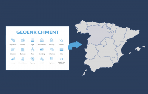
Geoenrichment is a process that assigns demographic attributes such as education, income, or age to polygons based on geographic location.

Routing, mapping and LiDAR. Will GIS thrive in a world of driverless cars? We explore the potential integration of GIS in autonomous vehicles.
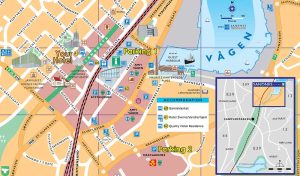
Distance decay is the idea that the farther away customers are from goods or services, the less likely they will make use of it.
A geofence is a virtual geographic boundary. Whether it’s for security, retail or delivery, geofencing gives real-time alerts and increases awareness.
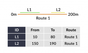
Linear referencing systems (LRS) store relative positions on an existing line feature with m-values for point/line events and linear analysis.