Internet of Things (IoT) in GIS
The Internet Geography of Things
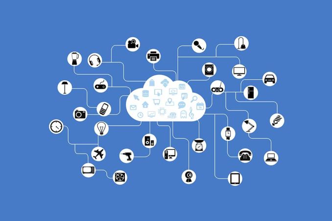
The Internet of Things (IoT) connects billions of sensors from around the world. Because they’re all connected, it enables the exchange of information between them.
IoT’s vast quantity of real-time sensor data comes from physical devices like smartphones, laptops, houses, and cars.
The connection between IoT and GIS is geographic location. Most devices combine their physical location from a GPS receiver giving real-time sensor information and positioning.
It’s really this geographic context from the IoT that the geospatial industry has embraced.
Real-Time Location Positioning
IoT is a connected world of moving sensors, stationary meters, or even social media feeds. For example, here are some types of sensors that feed into the IoT:
- Connected vehicles
- Soil moisture monitoring feeds
- Smart electricity meters
These stream layers exist in the cloud providers like Azure, Amazon, or Cisco. Then, we connect to these feeds for real-time analytics and positions.
In GIS, something like transit bus sensors gets pushed to the map immediately with the latest location and information. But we can connect to more than this. There are sensors in smart parking lots, traffic cameras, and geofencing.
Real-Time Spatial Analytics
Real-time analytics is useful when you want to interpret real-time observational data and take action.
If a bus always follows the same route, a bus deviating from the expected path could mean a safety risk.
In this case, you can set up a real-time spatial analytics. If the bus deviates from its authorized path, it can trigger an event at a given threshold.
For example, you can automatically send an email to a transit manager. Then, they can take action to investigate further.
Big Data Analytics
Big data analytics processes vast amounts of data to assess patterns on a broader scale.
This data may have been collected over long periods of time and potentially involve millions of point locations.
Overall, big data analytics scales your data transforming it into something more manageable.
In GIS, this means you can generate visualizations and analyses on the fly. You can also generate time animations and reveal spatiotemporal patterns.
Big Data and IoT Software
Here are some of the IoT software currently available.
- Esri GeoEvent Server – Esri’s GeoEvent server connects and monitors real-time feeds and IoT data.
- ArcGIS Velocity – This add-on is a managed SaaS for processing real-time IoT and big data analytics. Just using your browser enables visualization, scalability, and spatial analytics.
- Microsoft Azure – Microsoft’s cloud platform connects to live-streaming events and IoT data. By using Power BI and Azure Maps, you can produce some powerful visualizations.
Do you have anything to say about IoT in GIS? We’d love to hear from you in the comment section below.


