What Is GeoEnrichment?
What Is GeoEnrichment?
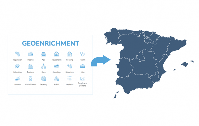
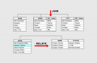
Geoenrichment is a process that assigns demographic attributes to polygon layers based on geographic location.
Similar to the Spatial Join Tool, it leverages data from the Living Atlas of the World to enrich your data.
For example, geoenrichment sources can be any demographic information such as education, income, or age.
Typically, you enrich polygon layers like neighborhoods, zip codes, or any sort of community district.
How to perform geoenrichment
Typically, you perform geoenrichment in ArcGIS Online. In a web map, a layer has a “Perform Analysis” button.
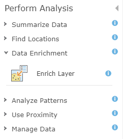
For the feature layer that you want to enrich, select the “Data Enrichment” option. In this step, you assign the variables that you want to enrich in your polygon layer.
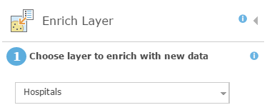
Next, you will want to choose the variables you want to enrich from Esri’s Living Atlas of the World. For example, this can be anything from:
Finally, you give your output layer a name and run the analysis. But it’s important to keep in mind that this process uses credits.
What is an example of geoenrichment?
If you are the owner of several stores, you can analyze your best-performing stores based on demographics. In this case, stores have locations with sales and other variables.
You can model revenue by enriching data with socioeconomic factors that the store is in, or demographics for the neighborhood the store is in.
But not everyone within a zip code might use that store. Instead, you could get the socioeconomic data using a 15-minute drive time.
Then, you can divide it based on the underlying population data. When there are overlaps with more population, it will have more influence on the outcome.
Summary: What Is GeoEnrichment?
GeoEnrichment is a new and exciting type of data engineering in GIS.
In summary, it finds new variables based on the location of your data. Then, it adds these columns to your dataset, similar to a spatial join.
These attributes can be anything from the amount of spending on tobacco to marital status.
Once you have neighborhoods, census polygons, or layers you want to geoenrich, it creates a new polygon with those attributed to them, derived from Esri’s Living Atlas of the World.


