The Hidden Powers of QGIS 3: Features and Plugins
When QGIS releases a new version, it’s kinda a big deal. Because the unsung heroes of open source GIS software are back with QGIS 3!

When QGIS releases a new version, it’s kinda a big deal. Because the unsung heroes of open source GIS software are back with QGIS 3!
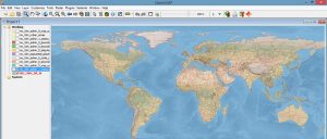
OpenJUMP GIS is good at the basics. It started as a tool for data conflation. Then, it grew into a modest size open source project.
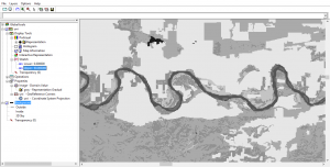
ILWIS is free (GNU license) for users around the world for GIS and remote sensing needs. Here are some of the neat features and developments.
GRASS GIS (Geographic Resources Analysis Support System) is one of the oldest public domain GIS software in existence – over 30 years old.
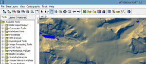
Whitebox GAT (Geospatial Analysis Toolbox) specializes in terrain analysis. But you can do processes like LiDAR and hydrology analysis.

There’s a bucket load of free GIS software packages available for you to map the world. Manage, visualize and edit GIS data with open source GIS software.
Map all day. Geoprocess all night. All with open source gvSIG software. gvSIG emerged in 2004. It’s been fine-tuned for close to two decades.

The world of geoscientists can experiment with the free SAGA GIS. It’s a clear winner in 3D rendering, terrain analysis, and geostatistics.
The focus of uDig (User-friendly Internet GIS) is placed on database viewing and editing as well as a rich collection of GIS functionality.

In this QGIS 2 review, we see how this open source GIS software stacks up against others in mapping, editing, analysis, and data management.