WhiteBox GAT – Geospatial Analysis Toolbox (Review)

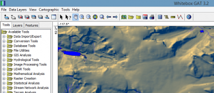
Whitebox GAT (Geospatial Analysis Toolbox) is extremely underrated as a GIS software package. Because it specializes in terrain analysis, you can do all sorts of neat stuff with it. For example, it’s especially good at LiDAR, image processing, and hydrological analysis.
But it’s not a complete solution for mapping, editing, and data management. We ranked it 5th best in our free GIS software and also part of our free LiDAR software too. For all GIS software including proprietary, it’s ranked #11 out of 30.
Pros/Cons of Whitebox GAT
Here are some of the advantages and disadvantages of using Whitebox GAT compared to other GIS software applications.
PROS
CONS
WhiteBox GAT Ratings
Mapping
Analysis
Editing
Data Support
Ranked #11 from 30 GIS Software
Terrain and Hydrology Analysis
Ever since the kick-off of WhiteBox GAT, there’s been a hydrology theme surrounding it. This is actually because it replaced Terrain Analysis System (TAS) in 2009.
Over the years, it’s been fine-tuned for hydro-geomorphic applications. For example, you can do the following:
- Model surface drainage patterns
- Delineate watersheds
- Analyze stream networks
- Find aspect, hillside, slope, and profiles
- Measure wetness, visibility, and ruggedness index
This just barely scratches the surface because the list of geospatial tools is still growing. In fact, WhiteBox GAT has 450+ plugins and tools to use in total.
LiDAR Tools
WhiteBox GAT shines in LIDAR! When you need inventive tools for editing and viewing LiDAR, it can be a lifesaver. For example, here are some of the tools for LiDAR:
- Convert LAS to shapefile
- Erase polygons from LiDAR
- Display lidar point clouds by elevation, intensity, class, scan angle, or GPS time
- Create LiDAR footprints from LAS
- Interpolate LiDAR into DEM or DSM
Without barriers, Whitebox GAT has out-of-this-world LiDAR support. I find it amazing it goes relatively unheard of in the GIS industry.
Cartography and Mapping
Cartography is a weak point for this software. It’s not to say that you can’t design professional-quality maps. But the mapping capabilities are primitive compared to QGIS.
- Create inset maps within map layouts
- Stylize maps with the most common cartographic elements
- Symbolize rasters with a variety of color palettes
- Hex binning for summarizing point data
All things considered, you can still design some impressive maps with this open source software. But you’re a bit limited with its symbolization, labeling, and annotation options.
Summary: WhiteBox GAT – Geospatial Analysis Toolbox
We really enjoy WhiteBox GAT for its inventive collection of geospatial analysis tools.
It’s been translated into 11 different languages. Also, there have been over 21,000 times downloads. But that was over 3 years ago.
I strongly recommend giving it a try.
It has a massive collection of geoprocessing tools to get the job done. But it’s not the silver bullet for all things GIS.


