OpenJUMP GIS Software Review
OpenJUMP GIS (JAVA Unified Mapping Platform) all started as a conflation project by Vivid Solutions Inc. After its initial creation, Vivid Solutions stopped the creation of JUMP GIS.
However, the company eventually decided to support it because of the overwhelming support from its user community. Eventually, it jump-started a larger community effort and the name was eventually chosen to be “OpenJUMP”.
Pros/Cons of OpenJUMP
Here are some of the advantages and disadvantages of using OpenJUMP compared to other GIS software applications.
PROS
CONS
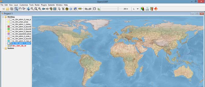
OpenJUMP GIS
Mapping
Analysis
Editing
Data Support
Ranked #28 from 30 GIS Software
Open Source GIS
Although JUMP GIS was primarily used as a conflation software package. Over time, it’s grown into much more.
For example, OpenJUMP offers vector editing and raster viewing support. It has database connectivity in a wide range of GIS formats.
Raster support is at a bare minimum. The map viewer can import rasters for viewing. But there aren’t a lot of supporting tools.
You can create primitive maps in OpenJUMP. But it has limited support for symbology, labeling, and annotation.
OpenJUMP Plugins
OpenJUMP GIS has 15 or so plugins. Each one helps you extend the functionalities from a basic installation. For example, plugins include:
- Editing tool sets with CAD
- Raster display
- Database connections
- Web processing
- Vector processing with Sextante
- Coordinate reference system
- Watermarking
- Scripting support
- Global Positioning Systems (GPS) and GPX importing
- Styling, charts, and plotting
Summary: OpenJUMP GIS
All things considered, Jump GIS does the basics very well.
It started as a commercial tool for data conflation.
Then, it grew to a modest size following an open source project.
Even though its functionality is light, developers still support the project.


