Angola Map Collection
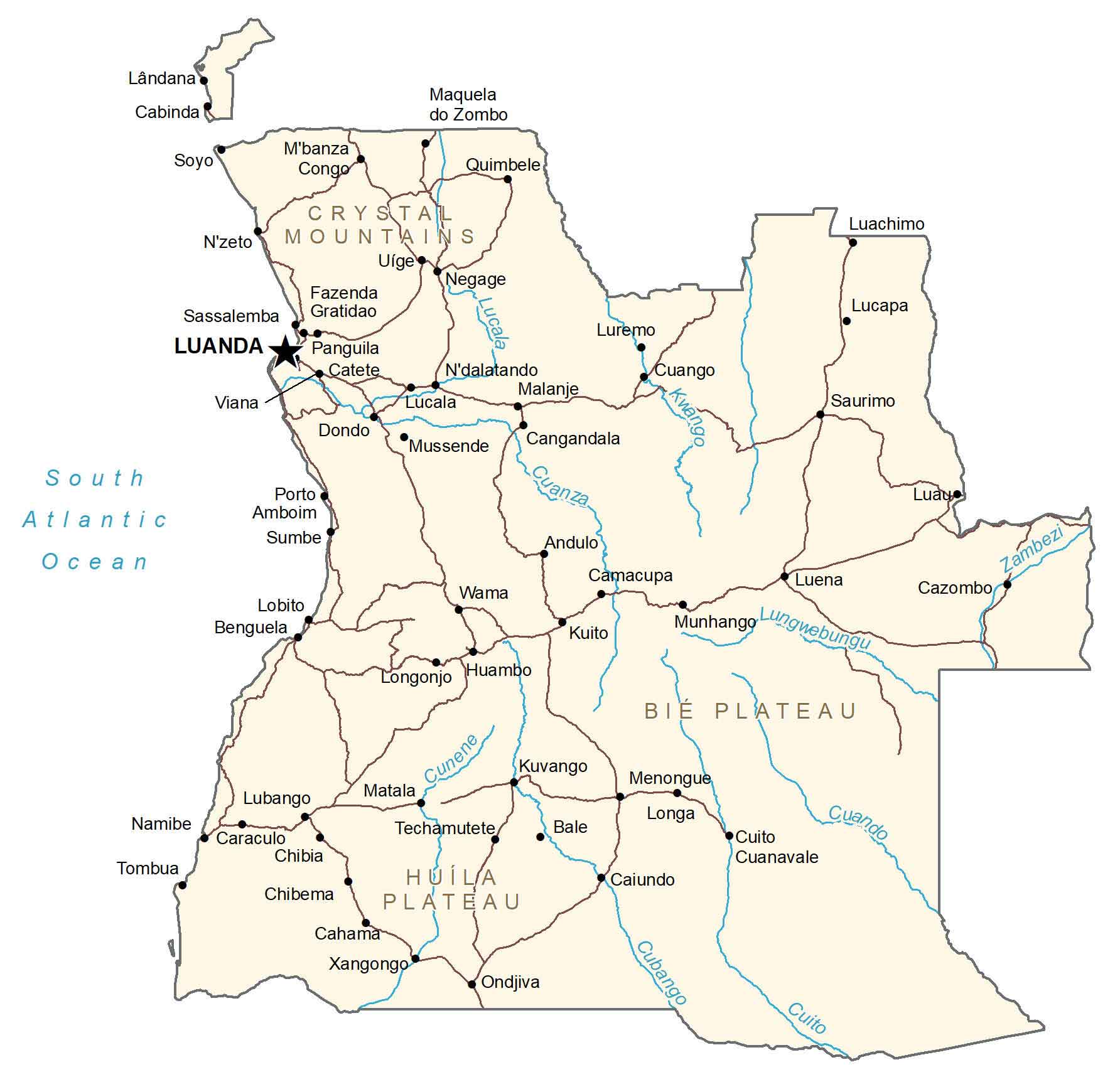
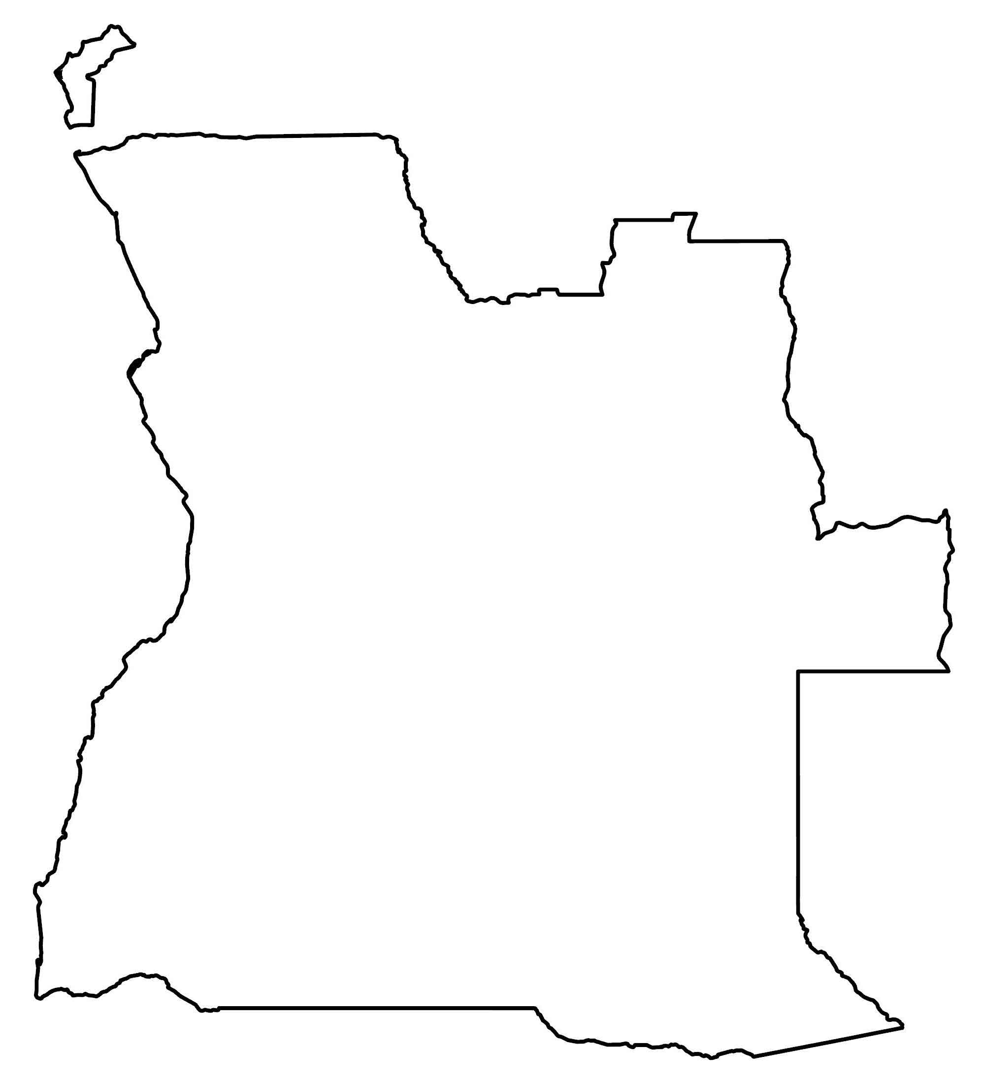
This Angola map contains cities, towns, rivers, roads, and the small exclave of Cabinda away from the mainland. Also, satellite imagery and elevation maps highlight its terrain including its lowlands, plateaus, and mountains.
Angola map collection
You are free to use our Angola map for educational and commercial uses. Attribution is required. How to attribute?
About the map
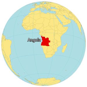
Angola is an African country located below the equator. It’s situated along the South Atlantic Ocean in the southern region of Africa.
Angola borders the Congo and the Democratic Republic of Congo to the north. To the east and south, it’s also next to Zambia and Namibia.
The capital city of Angola is Luanda which is known for being the most expensive city in the world. Angola also contains the small exclave of Cabinda off the mainland. This region is known for its oil production and reserves.
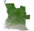
SATELLITE IMAGERY
Angola Satellite Map
The country is mostly broken down into two land use categories. First, Angola is a major exporter of agricultural products such as coffee, maize, and tobacco. This is because the climate and fertile soils give Angola the ideal conditions for agriculture. Secondly, forests cover a bit less than 20% of Angola, which includes tropical rainforests in the Cabinda province.
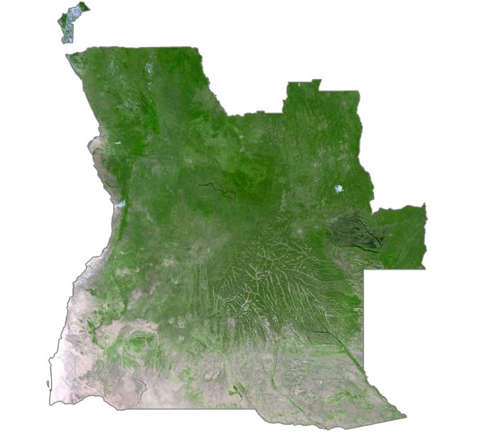
Unlike other dry and arid countries where the desert covers vast swaths of land, deserts lie in just a minor region of Angola. Specifically, the Moçâmedes Desert is in the southwest of Angola at the northern tip of the Namib Desert.
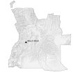
PHYSICAL MAP
Angola Elevation Map
Angola is characterized by three distinct regions. First, the coastal lowlands are located in the western region along the South Atlantic Ocean. Next, it transitions to hills, and mountains eastward. Finally, the eastern region is mostly a high plateau, namely the Bié Plateau.

At 2,620 meters (8,600 ft), Mount Moco is the highest mountain in the western part of Angola. Another mountain chain is the Crystal Mountains which spans all the way into the Congo and the Democratic Republic of Congo.
Capital City
Luanda
Major cities and towns
Cabinda
Malanje
Benguela
Lubango
Huambo
Saurimo
Luena
M’banza Congo
Sumbe
Ondjiva
Longonjo
Kuito
Cahama
Chibia
Negage
Cities and towns
Soyo
Quimbele
Luachimo
Luremo
Lucapa
N’zeto
Fazenda Gratidao
Sassalemba
Panguila
Catete
Viana
Dondo
Andulo
Camacupa
Cazombo
Wama
Lobito
Munhango
Lungwebungu
Matala
Kuvango
Menongue
Namibe
Caraculo
Techamutete
Bale
Longa
Tombua
Chibema
Caiundo
Xangongo
Lakes, rivers and creeks
Cubango River
Lungwebungu River
Kwango River
Lucala River
Cuanza River
Cunene River
Cuando River
Zambezi River
South Atlantic Ocean
Mountains and Plateaus
Crystal Mountains
Bie Plateau
Huíla Plateau