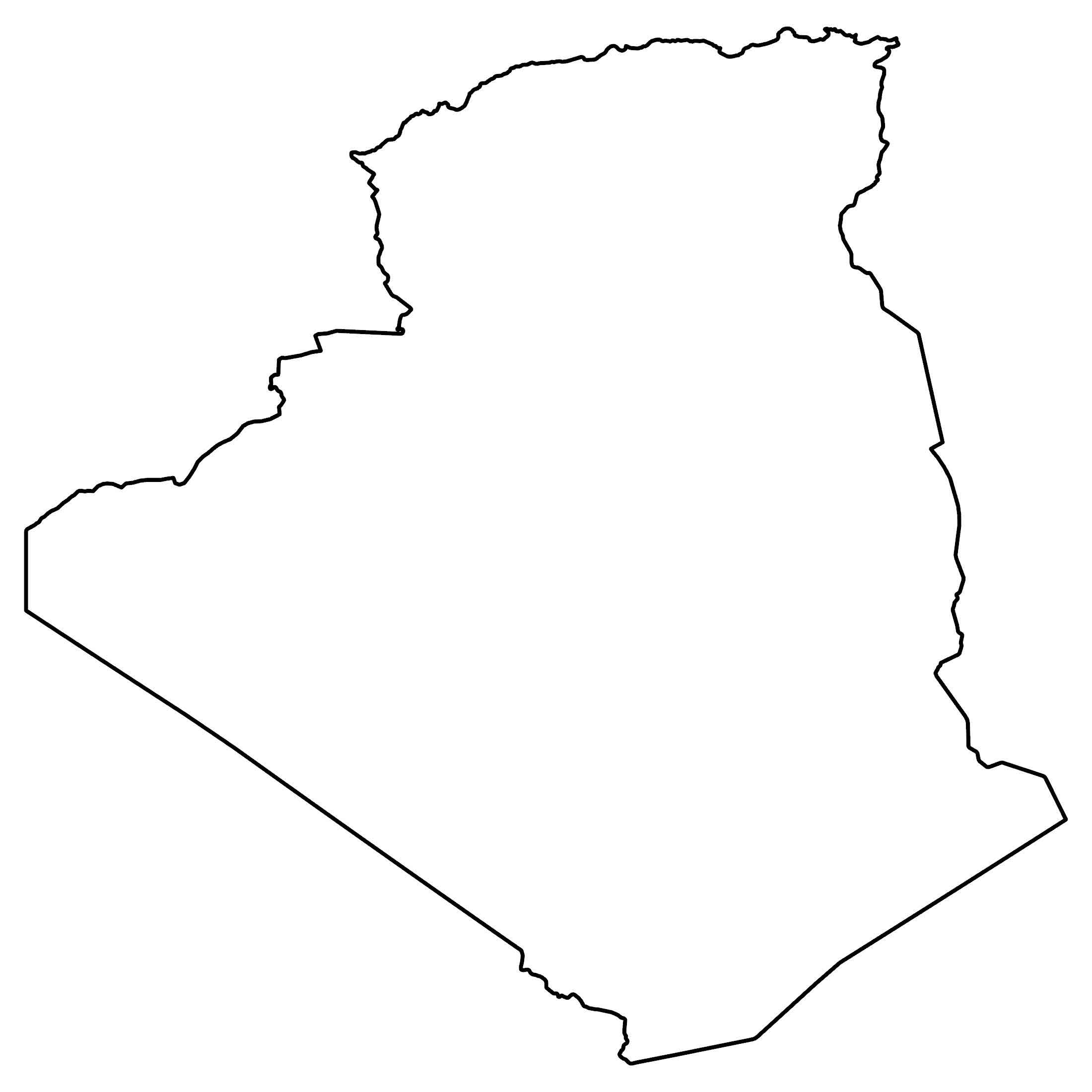
Algeria Map and Satellite Imagery
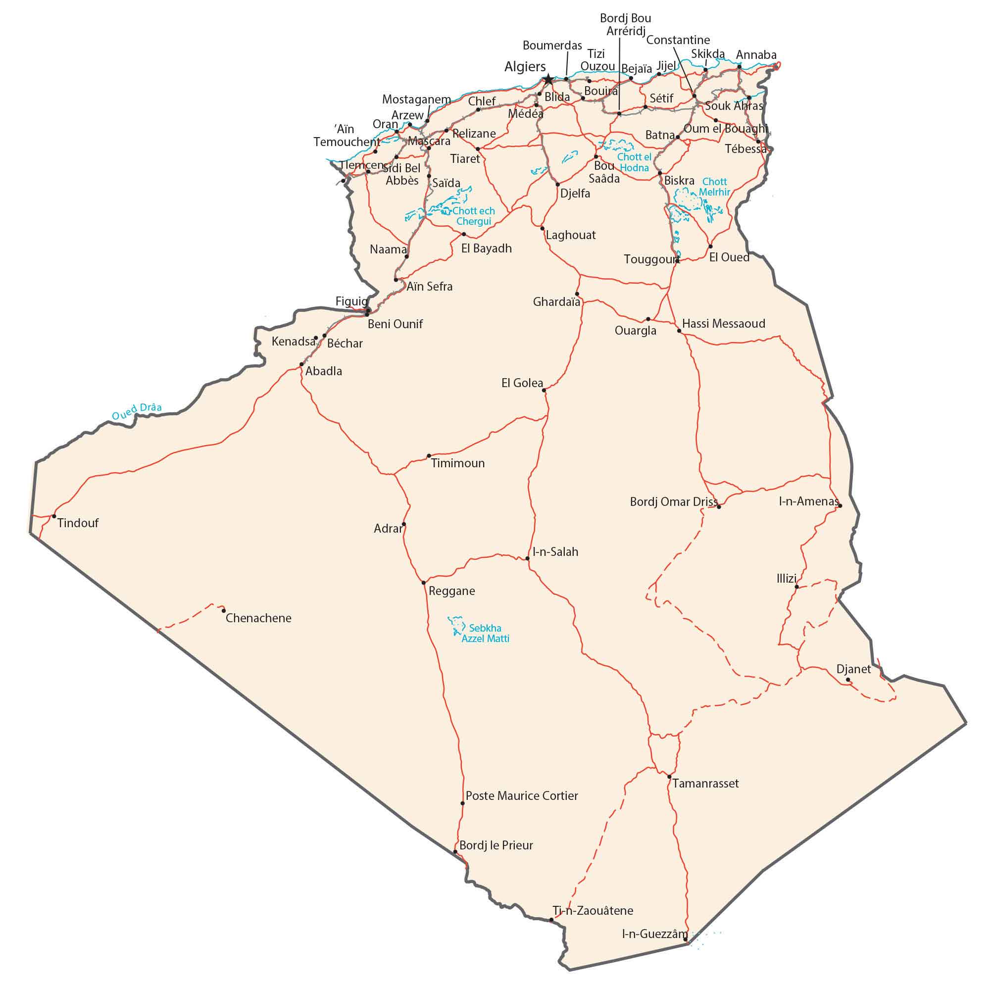
This map of Algeria displays major cities, towns, roads, and rivers. A satellite and physical map display the topography of Algeria. From the Sahara Desert to the Ahaggar Mountains, view the largest country in Africa on this Algeria map.
Algeria map collection
You are free to use our Algeria map for educational and commercial uses. Attribution is required. How to attribute?
About the map
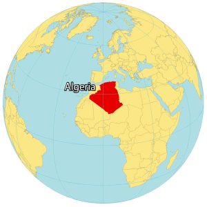
Algeria is the largest country by landmass in the continent of Africa. It’s located in Northern Africa along the coastline of the Mediterranean Sea.
Algeria borders Morocco to the northwest and Tunisia to the northeast. Libya and Niger are located to the northeast and southeast. Finally, Mali, Mauritania, and the Western Sahara region are to the southwest of Algeria.
For the most part, Algeria consists of large deserts throughout the country. In fact, it’s estimated that the Sahara Desert covers about 4/5 of Algeria. Algiers is the capital and largest city in Algeria in the north.
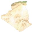
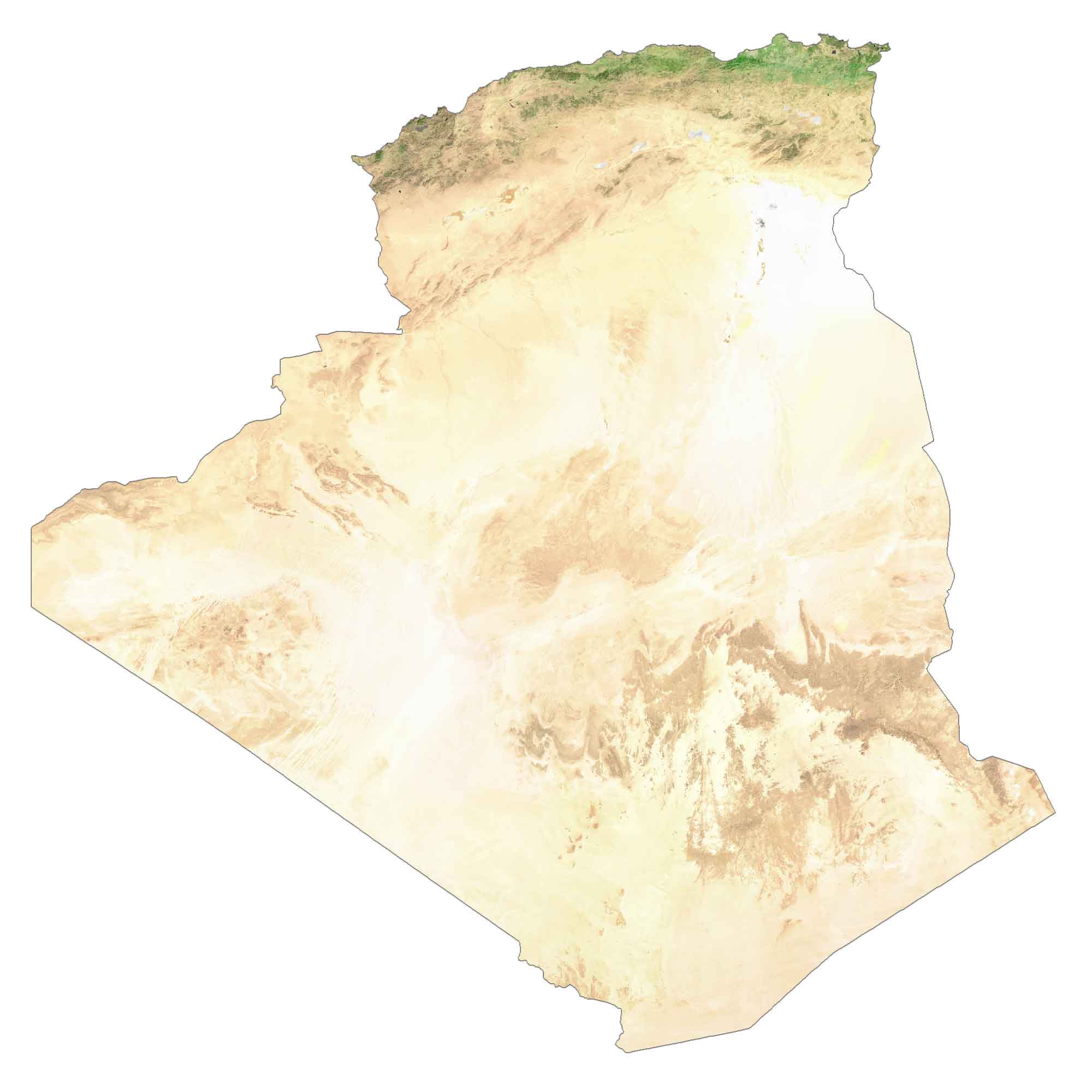
SATELLITE IMAGERY
Algeria Satellite Map
The Sahara Desert covers most of the southern half of the country. Algeria has very little in terms of forest cover. According to the FAO, forests cover less than 1% of Algeria. As you’d also expect, lakes are at a minimum. One notable salt lake is Chott Melrhir in northeastern Algeria. Otherwise, the longest river in Algeria is the Chelif River, which flows 700 kilometers (435 mi) in length.
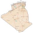
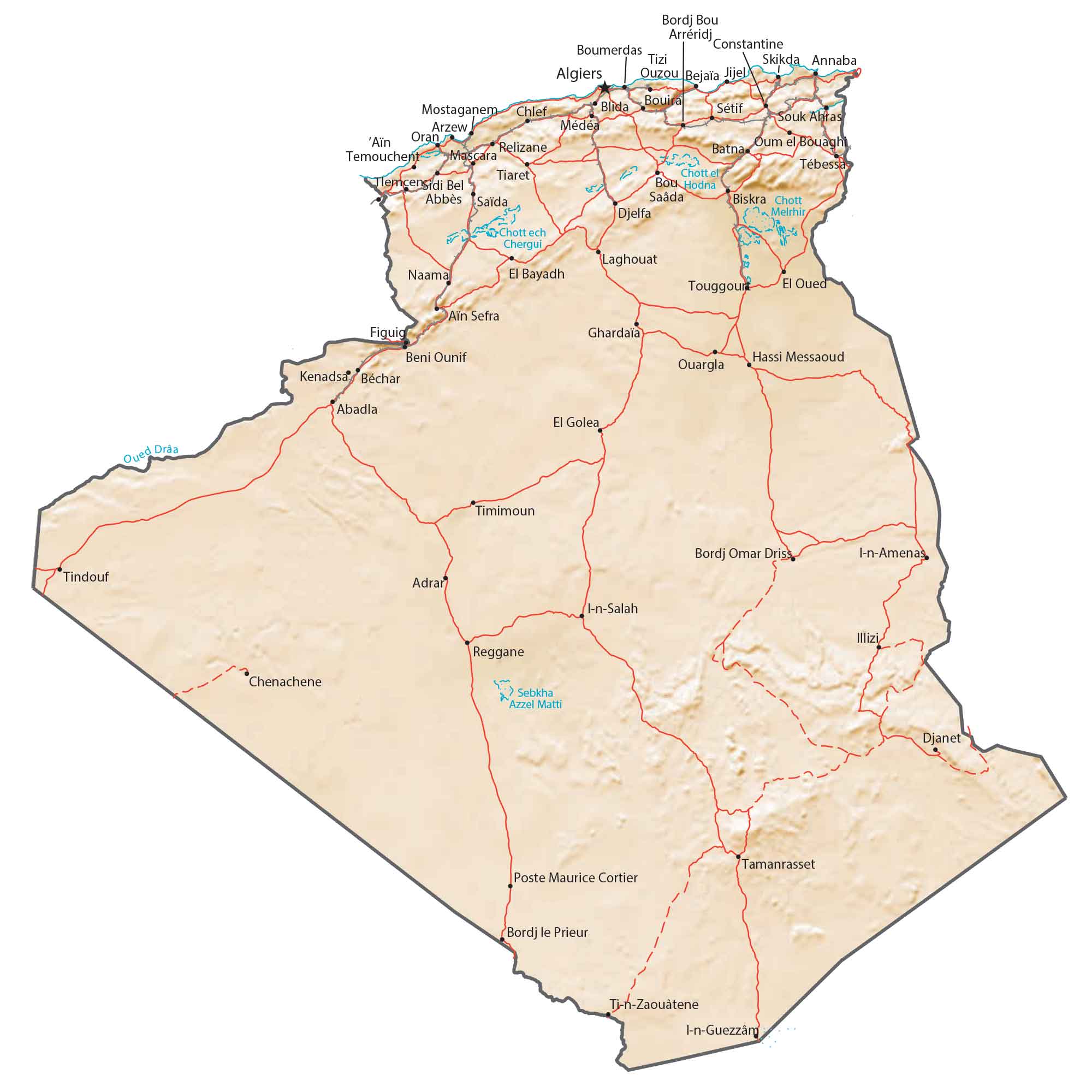
PHYSICAL MAP
Algeria Physical Map
Even though Algeria is mostly a desert landscape, it still has a diverse terrain. For example, the Ahaggar Mountains in the southeast hold its highest peak, Mount Tahat, at 2,908 meters (9,541 ft).
Next, the Saharan Atlas Mountains in the north stretch to Tunisia. Finally, the Tademait Plateau is a naturally rocky terrain in central Algeria. Even as part of the Sahara Desert, a unique feature is the Grand Erg Oriental, which is a field of sand dunes along the border of Morocco.
Capital City
Algiers
Major cities and towns
Oran
Constantine
Setif
Djelfa
Bejaïa
Skikda
Annaba
Batna
Tiaret
Biskra
Djelfa
Cities and towns
Boumerdas
Bordj Bou Arreridj
Tizi Ouzou
Bejaïa
Jijel
Bouira
Mostaganem
Chlef
Blida
Arzew
Mascara
Relizane
Tebessa
Tlemcen
Tindouf
Lakes, rivers and creeks
El Hodna Salt Lake
Melrhir Salt Lake
Chergui Salt Lake
Draa River