Sudan Map – Cities and Roads
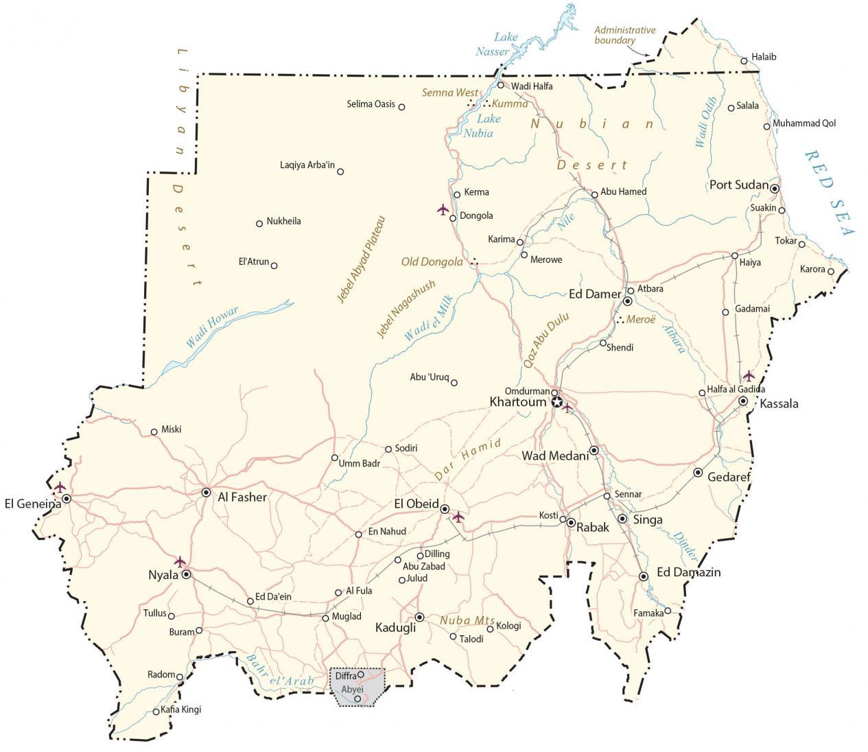
This map of Sudan displays cities, roads, water, satellite imagery, and elevation. It contains features like the Nile River, the Red Sea, and deserts in the north of Sudan.
Sudan map collection

You are free to use our Sudan map for educational and commercial uses. Attribution is required. How to attribute?
About the map
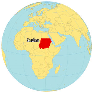
Sudan is a country located in northeast Africa along the Red Sea. It’s known for its large swaths of desert, ancient pyramids, and the Nile Valley.
It borders Egypt to the north, Libya to the northwest, Chad to the west, the Central Africa Republic to the southwest, South Sudan to the south, Ethiopia to the southwest, and Eritrea to the east.
The capital city is Khartoum but its largest city is Omdurman. Other major cities in the country of Sudan are Nyala, Port Sudan, and Kassala
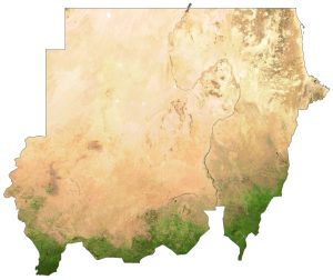
SATELLITE IMAGERY
Sudan Satellite Map
Sudan is the third-largest country in Africa (15th largest in the world) occupying an area of 1,886,068 square kilometers (728,215 sq mi). In comparison, it’s larger than Libya but smaller than the Democratic Republic of Congo.
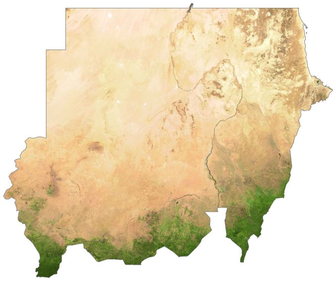
The most common type of landscape in Sudan is the Libyan and Nubian Desert to the north. But it transitions from desert to the Sudanian savanna to the south with a region known as the Sahel.
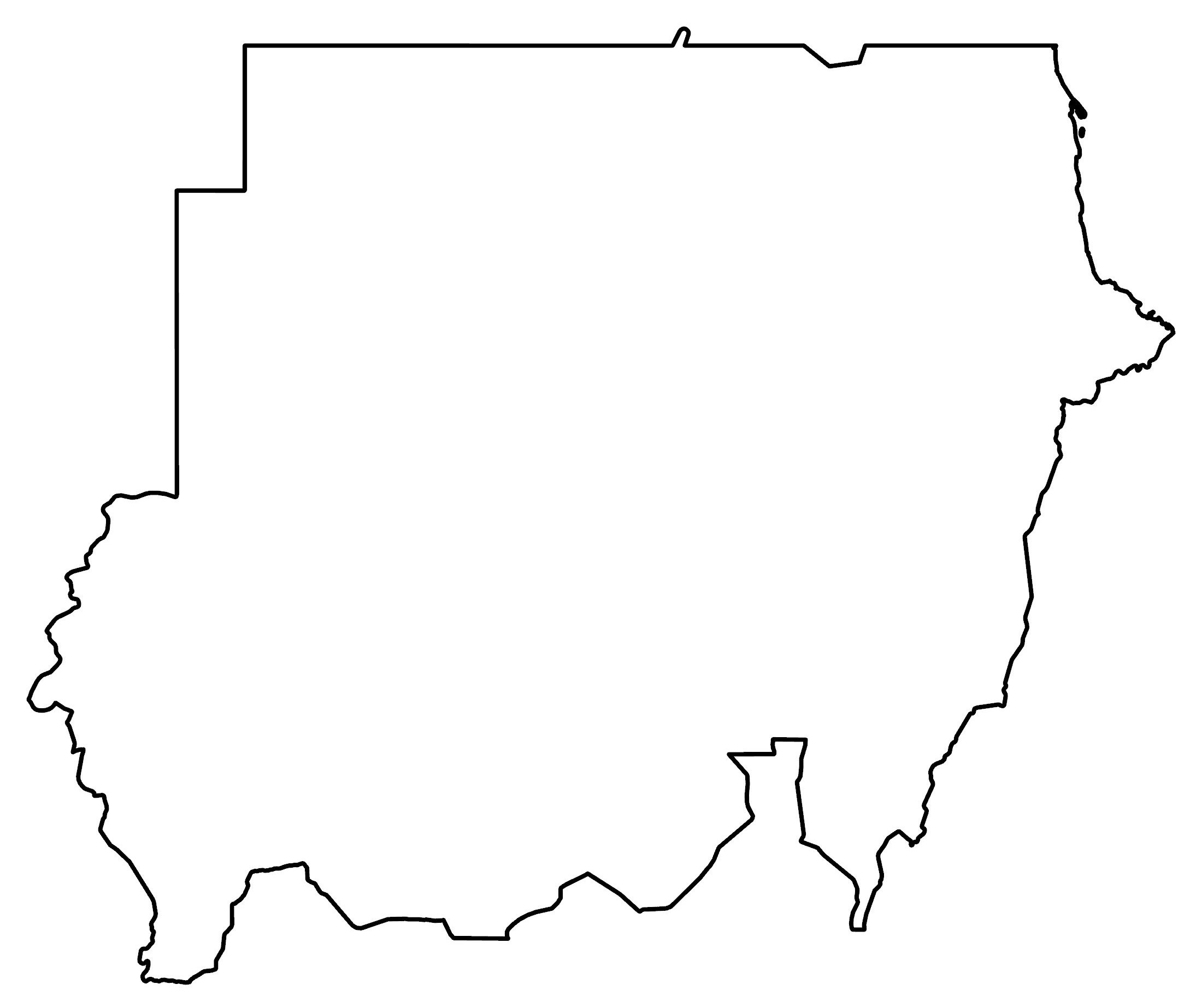
PHYSICAL MAP
Sudan Elevation Map
Sudan is mostly flat and covered in deserts in the south. Whereas its most elevated location is to the south of the country. For example, this includes the Moro Hills lie in the south and Marra Mountains to the southwest.
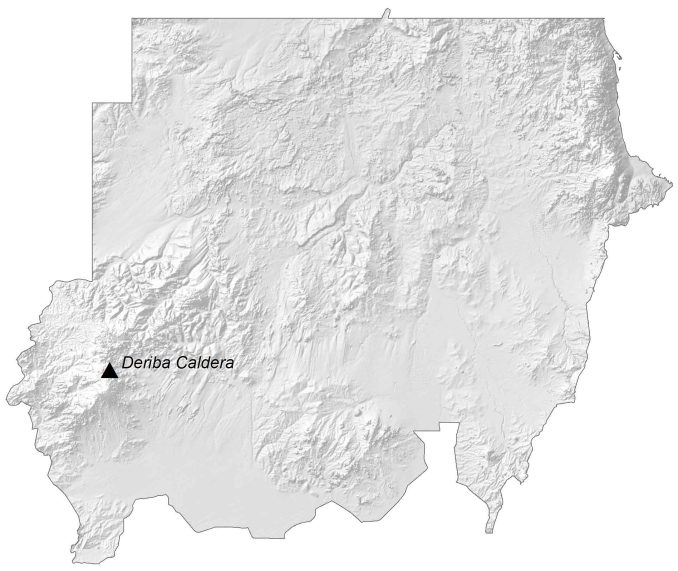
At 3,042 m (9,980 ft), the Deriba Caldera is the highest peak within the Marra Mountains. Its major river is the Nile River, which flows through 11 countries and is the primary water source for Sudan. Otherwise, its largest lake is Lake Nasser, which is a reservoir on the Nile River.
Capital City
Khartoum
Major cities
Al Fasher
Ed Damer
El Obeid
Kassala
Nyala
Omdurman
Port Sudan
Wad Medani
Cities, towns and villages
Abu Hamed
Abu Uruqo
Abu Zabad
Atbara
Dongola
Ed Damazin
El Geneina
En Nahud
Gadamai
Gedaref
Kakora
Karima
Kosti
Merowe
Rabak
Shendi
Suakin
Tokar
Lakes, rivers and seas
Atbara River
Bahr Lake
Dinder River
Lake Nasser
Lake Nubia
Nile River
Red Sea
Wadi el Milk
Wadi Halfa
Wadi Howar
Wadi Odib
Mountains and deserts
Dar Hamid
Jebel Abyad
Jebel Nagashush Wadiel Milk
Nuba Mountains
Nubian Desert
Special Administrative Area
Diffra
Abyei
Historical Sites
Meroe


Could you kindly clarify who authorised the alteration of Sudan’s map by incorporating a section into Egypt’s map? This matter warrants a thorough investigation, and I respectfully urge you to rectify the map to align with the official recognition by the United Nations and the international community.
Which area are you talking about it? It’s the same administrative boundary in Google Maps. I’d be happy to update. But the source of this is the United Nations. The triangle-shaped territory in northeastern Africa (Hala’ib Triangle) is disputed by Egypt and Sudan. But it’s administered by Egypt.