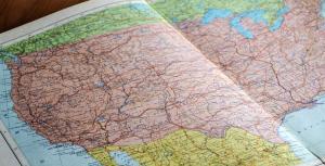
Geospatial vs GIS: What’s the Difference?
Many people think “geospatial” and “GIS” are interchangeable, but there’s actually a bit of nuance between them. Learn their differences.
Many people think “geospatial” and “GIS” are interchangeable, but there’s actually a bit of nuance between them. Learn their differences.

ArcGIS Velocity is a cloud platform for scalable, real-time, and big data analytics using sensor information, enabled through ArcGIS Online.

The ArcGIS API for Python is an access point to accessing a rich set of tools including mapping, spatial analysis, and data science.
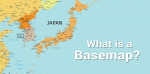
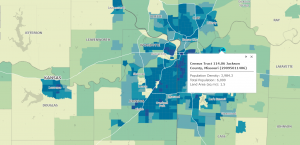
A basemap is a fundamental building block of cartography that provides geographical context to the map and other dataset layers above it.
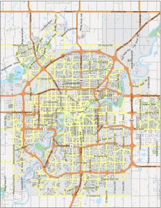
We’re going to share with you a map of Edmonton. This map collection is perfect for tourists who want to know all the interesting places.
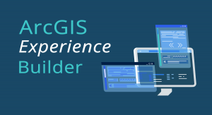
ArcGIS Experience Builder is a powerful tool that allows you to build a website from scratch without requiring any programming knowledge.
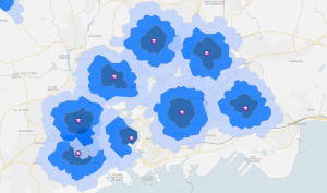
The drive time map is a type of isochrone map that shows you how far you can go based on a start location and an allotted amount of time.
ArcGIS Arcade is a simple and lightweight expression language you can use in the ArcGIS platform including ArcGIS Online, ArcGIS Pro, and more.
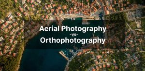
Aerial photography is a type of photography in which you capture images that are distant, from “in the air” using drones, satellites, and more.
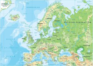
Europe is a mix of types of terrain. This Europe physical map displays its major mountain chains such as the Alps, Pyrenees, & Carpathians.