Map Labels in ArcGIS Pro – 5 Tips and Tricks
I have a love-hate relationship with labeling in ArcGIS Pro. I love that it adds clarity to my maps. But I hate that it can be really tedious.
I have a love-hate relationship with labeling in ArcGIS Pro. I love that it adds clarity to my maps. But I hate that it can be really tedious.
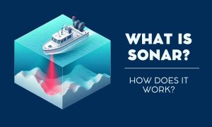
What if we could use sound to explore underwater? Sonar does just that. Simply, sonar turns sound waves into a map of the ocean floor.
To convert a KML to a KMZ, the process is straightforward. It only requires tools such as Google Earth and 7-Zip to get started converting.
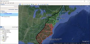
We’ll teach you all the differences between KMZ vs KML. We’ll also show you how to convert them into both file formats in Google Earth.
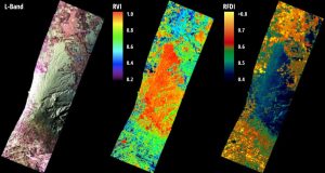
Radar bands are groups of wavelengths. Each has its unique ability to penetrate the Earth’s surface and reveal aspects of the environment.
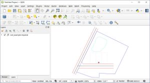
There are free tools online that convert DWG to SHP. But we recommended using QGIS, which is an open source GIS software option.
As Tolkien once said, “Not all those who wander are lost”. This is especially true when we consider the role of waypoints in guiding paths.
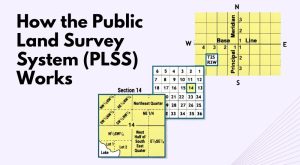
Learn how the Public Land Survey System (PLSS) works, which divides land in the United States into townships, ranges, and sections.
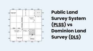
The Dominion Land Survey (DLS) and the Public Land Survey System (PLSS) divide the land to help distribute land and assign land titles.
Ever found yourself lost in another country? Maps with street view change that. They give you a real-life glimpse of your destination.