What Are Waypoints?

As Tolkien once said, “Not all those who wander are lost”. This is especially true when we consider the role of waypoints in guiding our paths.
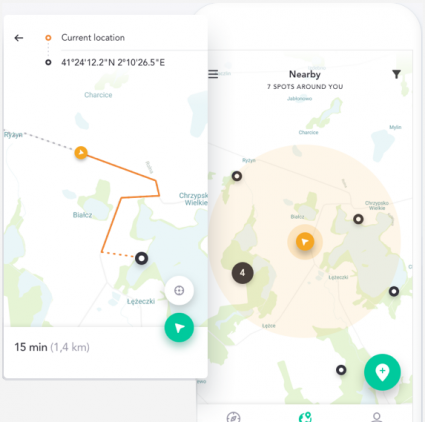
What is a waypoint in GPS?

Waypoints are XY points that we use for navigation, marking locations on a map or GPS receivers. They’re like invisible signposts. These markers help us chart a path through unfamiliar territory.
When field workers collect data, they add waypoints to their GPS. For example, if they find a rare plant species, they add a waypoint to their GPS. All waypoints have a specific latitude and longitude.
You can also add predefined waypoints to a GPS. This allows for easier navigation and planning. Anyone can add waypoints to follow a specific route or visit points of interest along the way.
When do we use waypoints?
We use waypoints in any of the following situations:
- Navigation: To guide us through unfamiliar areas, whether we’re hiking, sailing, flying, or driving.
- Outdoor Activities: For planning routes like trekking, mountain biking, or kayaking. Waypoints ensure we stay on track.
- Fieldwork: To mark specific locations spotted during fieldwork.
- Search and Rescue: To designate search areas or points of interest in large-scale search efforts.
- Scientific Research: To pinpoint locations for field studies or sample collection. This works in disciplines like geology, archaeology, or biology.
- Geocaching: To find hidden items as part of geocaching.
There are countless ways we can use waypoints in navigation and GPS.
Waypoint File Formats
Remember that you can convert any GIS file format to another. But typically, here are the most common file formats we use for waypoints:
- GPX (GPS Exchange Format): This is the most common format for GPS receivers. This XML schema stores GPS data, including waypoints, routes, and tracks. It’s compatible with many GPS devices and mapping applications.
- KMZ (Keyhole Markup Language): Developed for use with Google Earth and Google Maps, KMZ is an XML format. We use it for waypoints, as well as paths and polygons.
- Shapefile: Despite being an older format, shapefiles remain popular due to their simplicity. A shapefile consists of three mandatory files. First, there’s a .shp file that stores the geometry of the feature. Secondly, a .shx index file allows for fast searching. Finally, a .dbf dBASE table contains attribute information for the features.
Each of these formats allows for waypoint information exchange across different devices.
What Are Waypoints?
Waypoints are navigational aids that guide us from point A to point B. We enter these predefined points into GPS systems to chart our courses.
But you can also collect waypoints when you’re in the field. Each waypoint has a latitude and longitude coordinate to identify its location.
Do you have any questions about waypoints and how we use them? Please add to our comment section below.


