Web App Builder (WAB) for ArcGIS Online
Web App Builder (WAB) allows anyone to build powerful and highly-customizable GIS apps that can run on any device without any coding required.
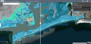
Web App Builder (WAB) allows anyone to build powerful and highly-customizable GIS apps that can run on any device without any coding required.
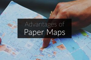
In the digital cartography age, it’s easy to overlook traditional paper maps. But they still serve their purpose in our day in age.
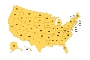
A US map collection with road maps, lakes, rivers, counties and major landmarks. Select from the 50 states of the United States. All US maps are free to use.
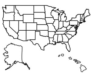
State outlines for all 50 states of America – Each blank state map is printable showing state shape outlines – completely free to use for any purpose.
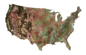
Download our satellite map of the United States. It’s free to use for any purpose. Or choose from any of the 50 states for more satellite maps of the USA.
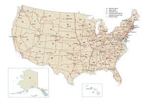
A US road map that displays major interstate highways, limited-access highways and principal roads in the United States including states and capital cities.
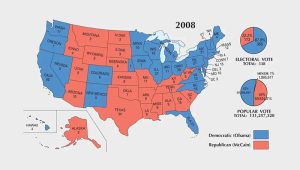
In this US election map collection, you will find the history of presidential elections from 1789 to 2020. Who won the electoral vote in each election year?
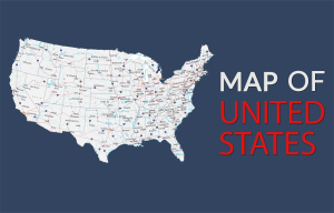
This map of the United States of America displays cities, highways, rivers and lakes. It includes the 50 states of America and capital of Washington, DC.
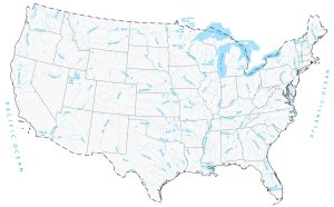
Download our lakes and rivers map of the United States. It’s free to use for any purpose. Or select from any of the 50 states for detailed lakes and rivers.
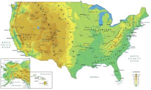
A physical map of the United States that features mountains, plateaus, lakes, rivers, cities and capitals. It includes inset maps for Hawaii and Alaska.