State Outlines: Blank Maps of the 50 United States
Introducing… State outlines for all 50 states of America. If you’re looking for any of the following:
- State shapes and boundaries
- A printable map of the United States
- Blank state maps
Click any of the maps below and use them in classrooms, education, and geography lessons.
You are free to use our state outlines for educational and commercial uses. Attribution is required. How to attribute?
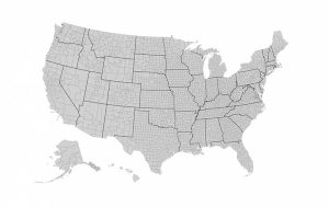
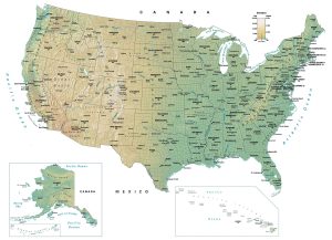
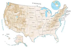
United States Blank Map
Check out our full US country blank maps and use them today.

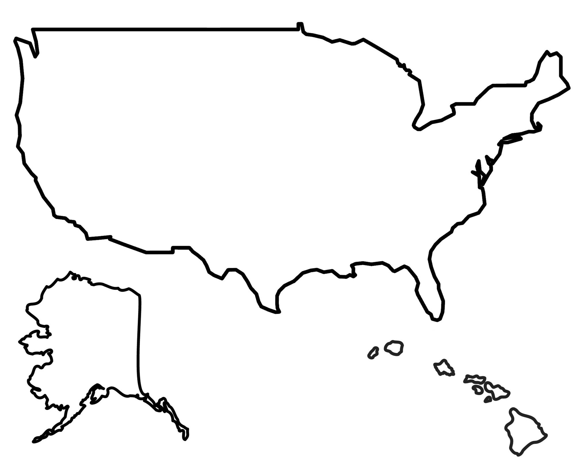
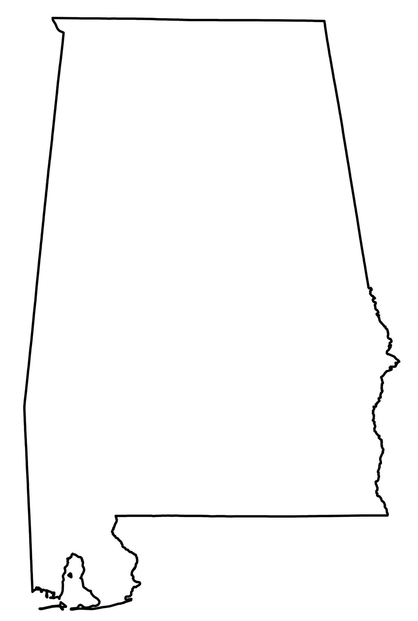
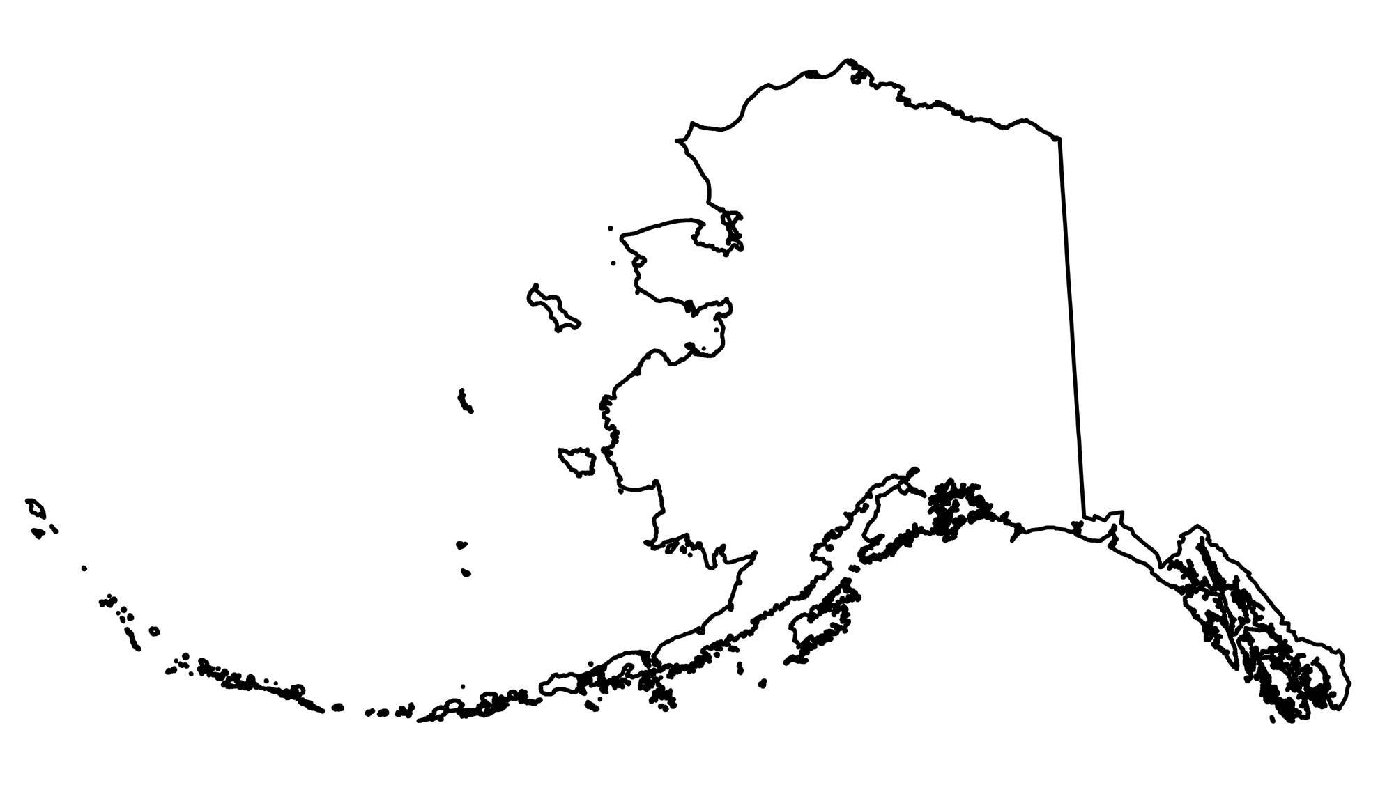
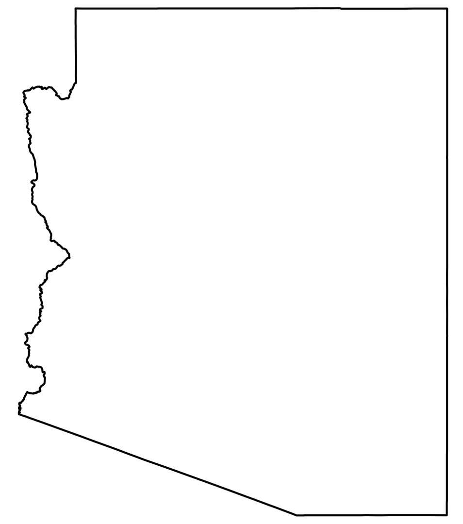
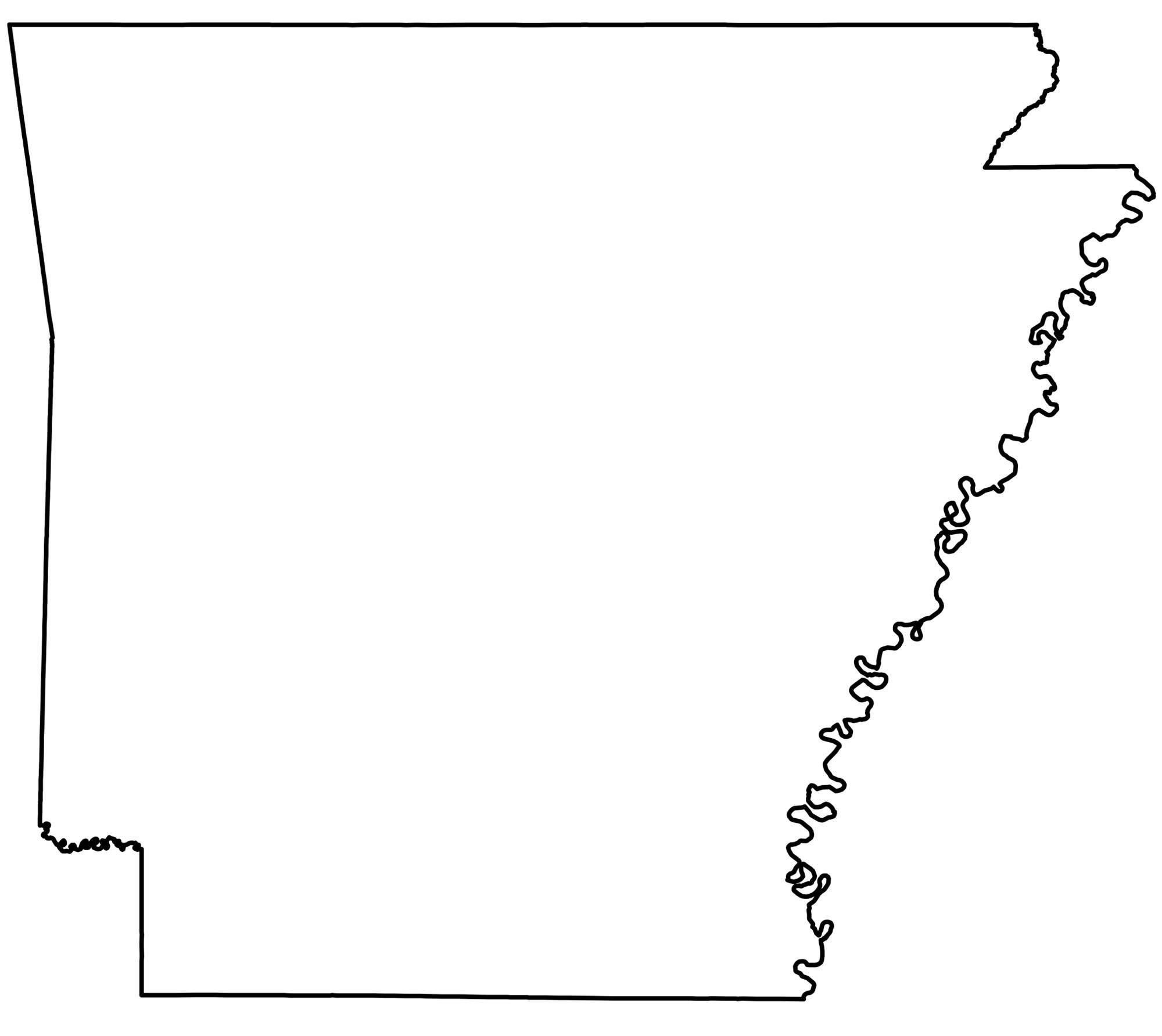
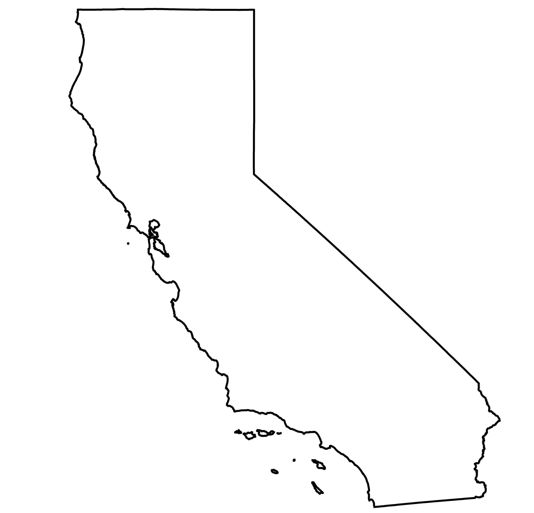
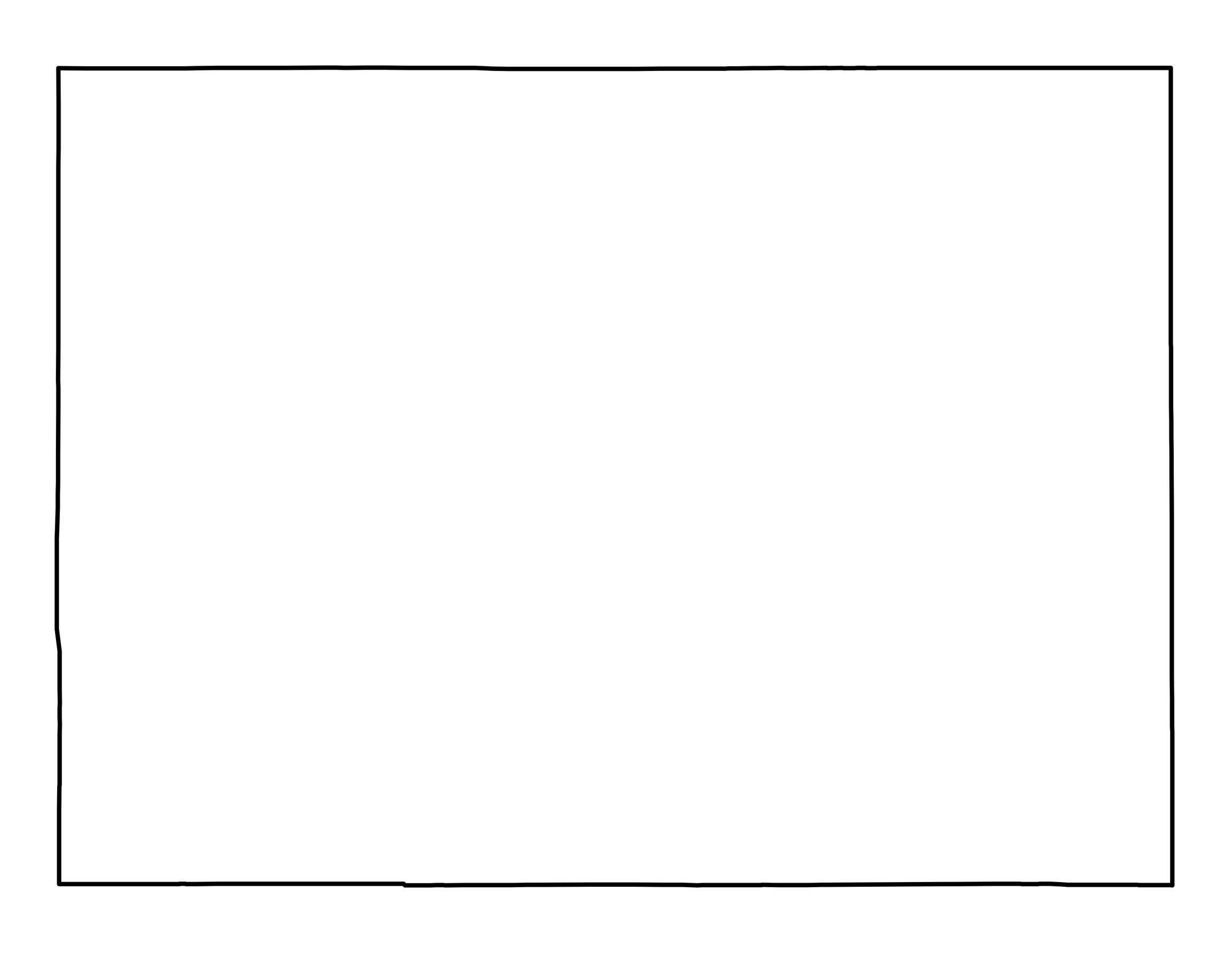
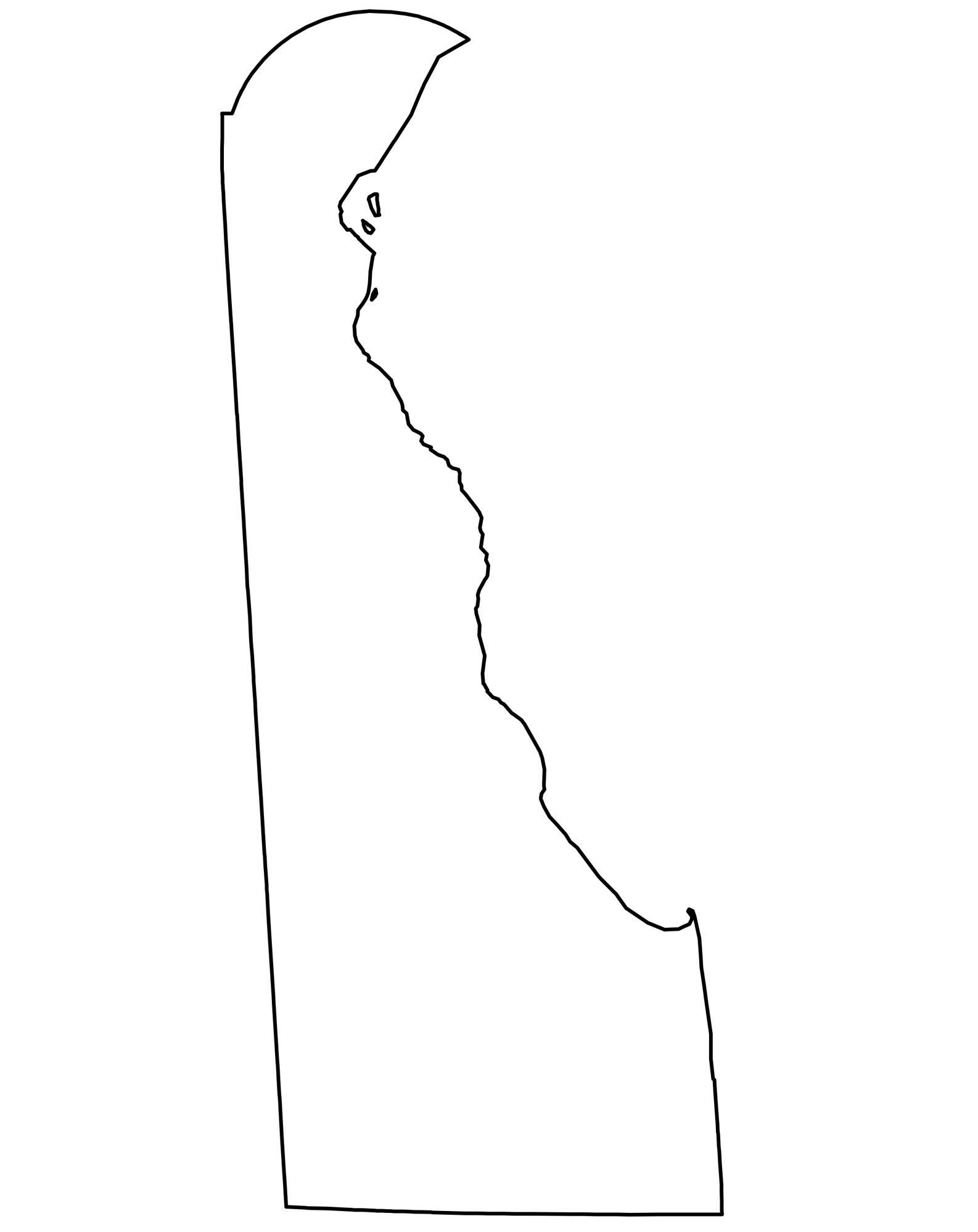
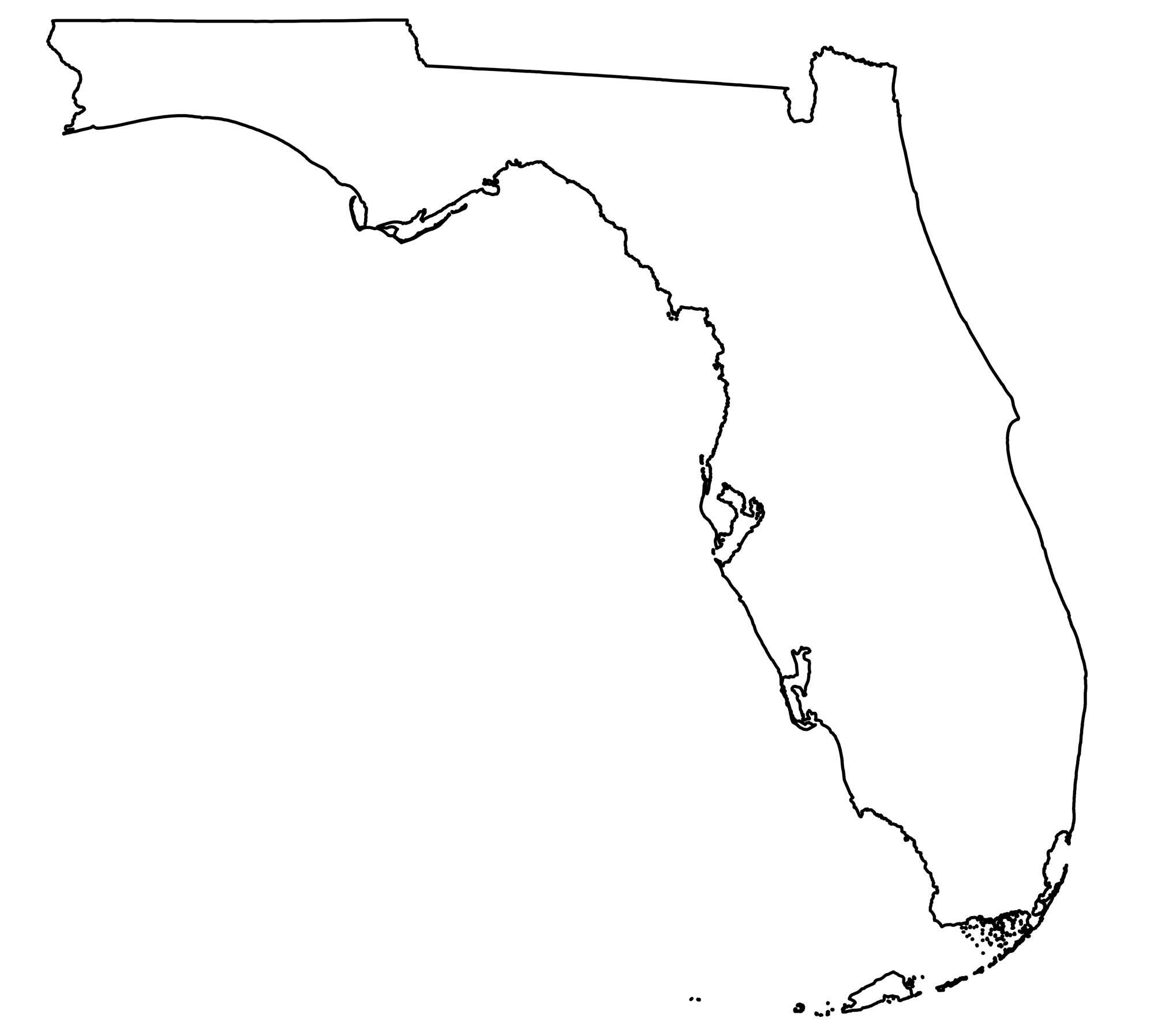
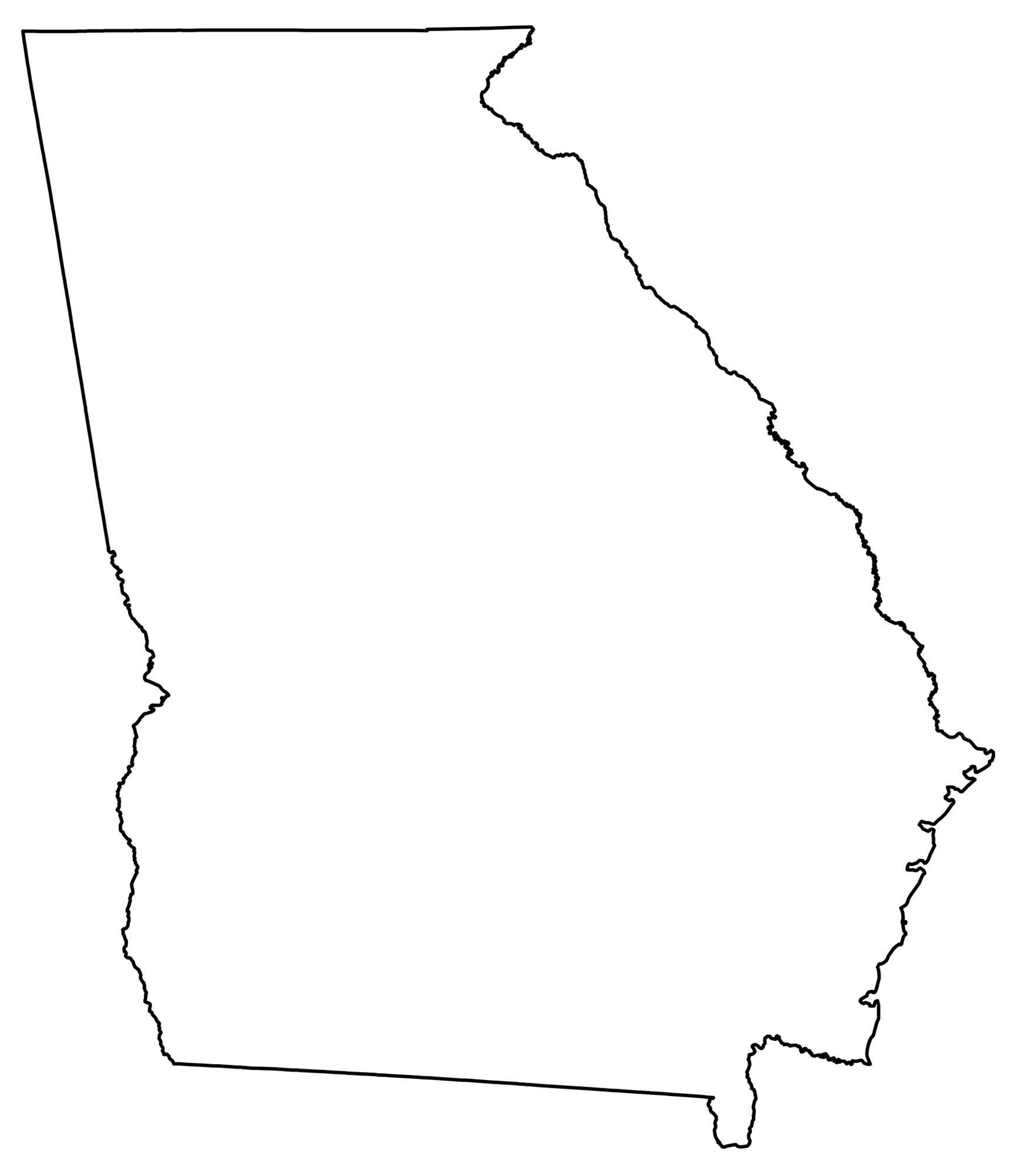
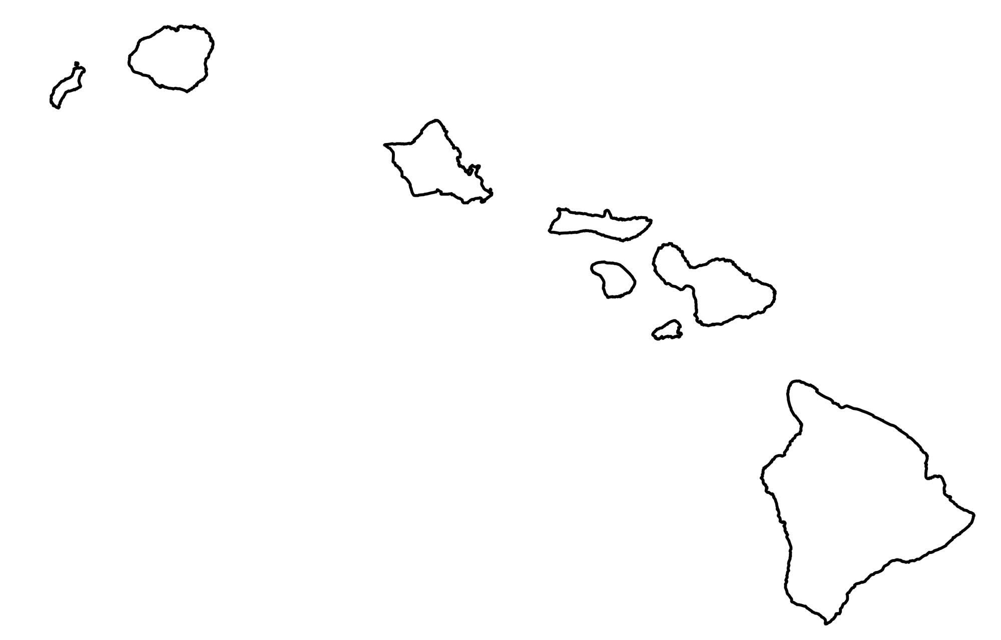
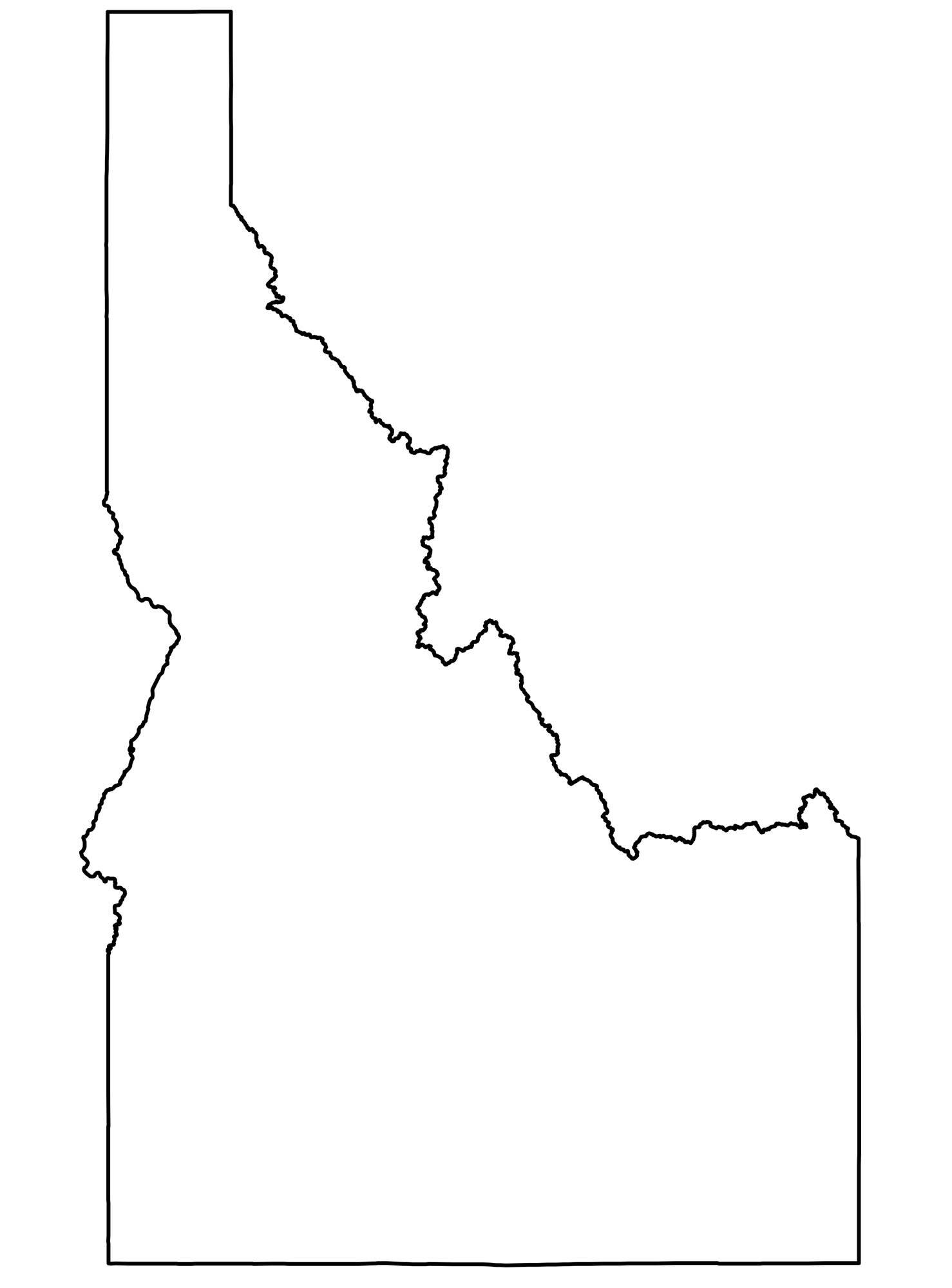
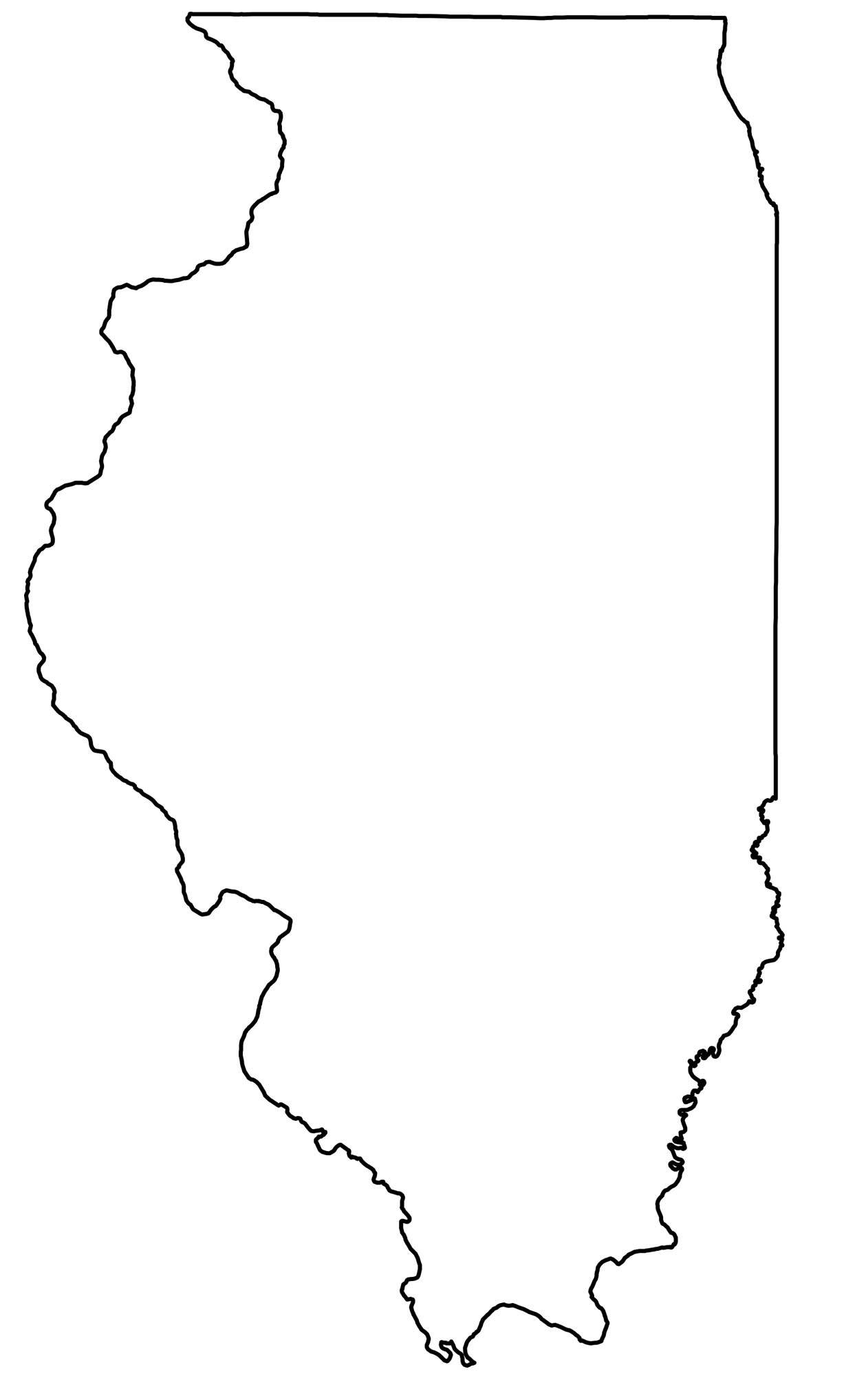
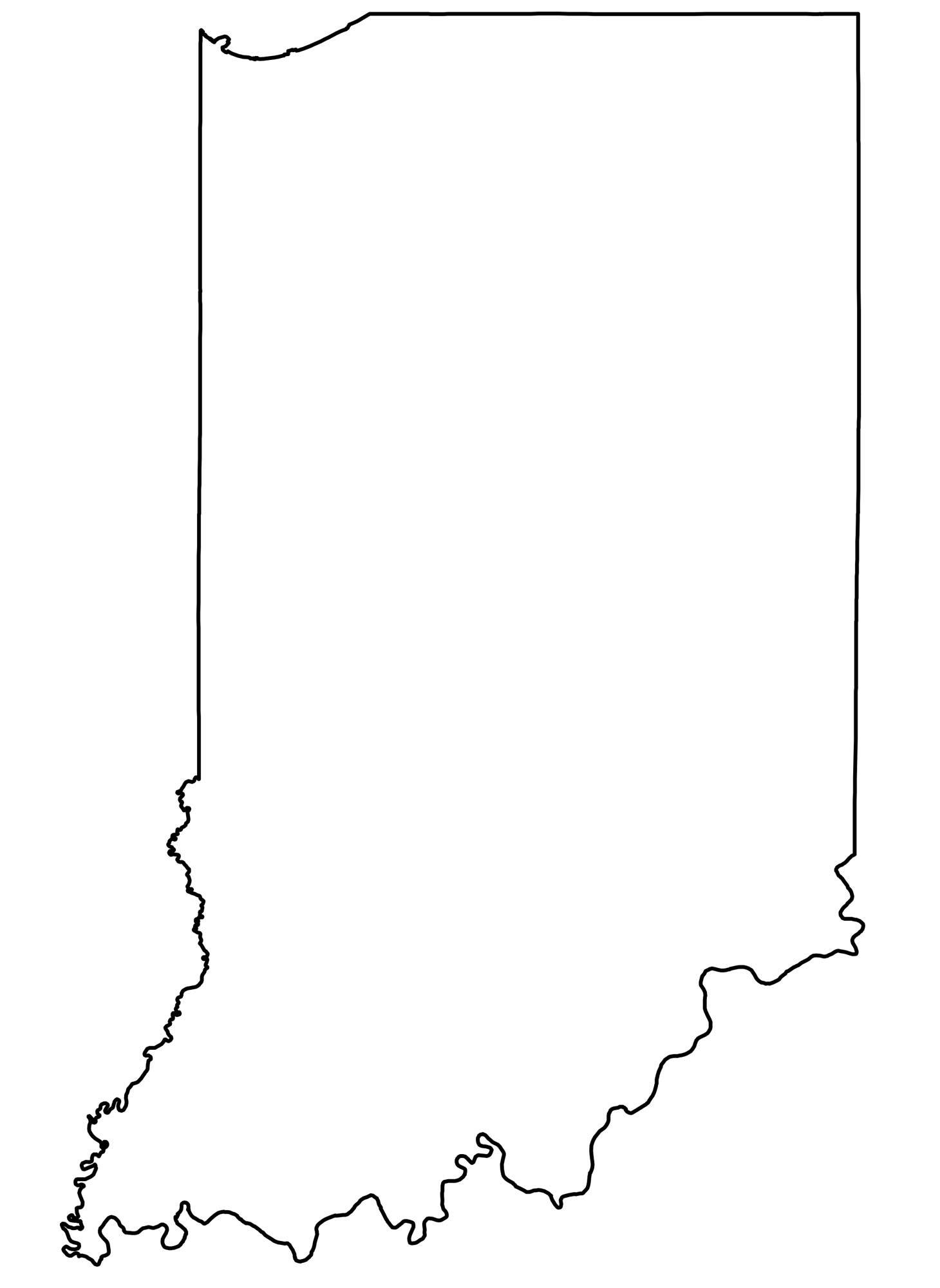
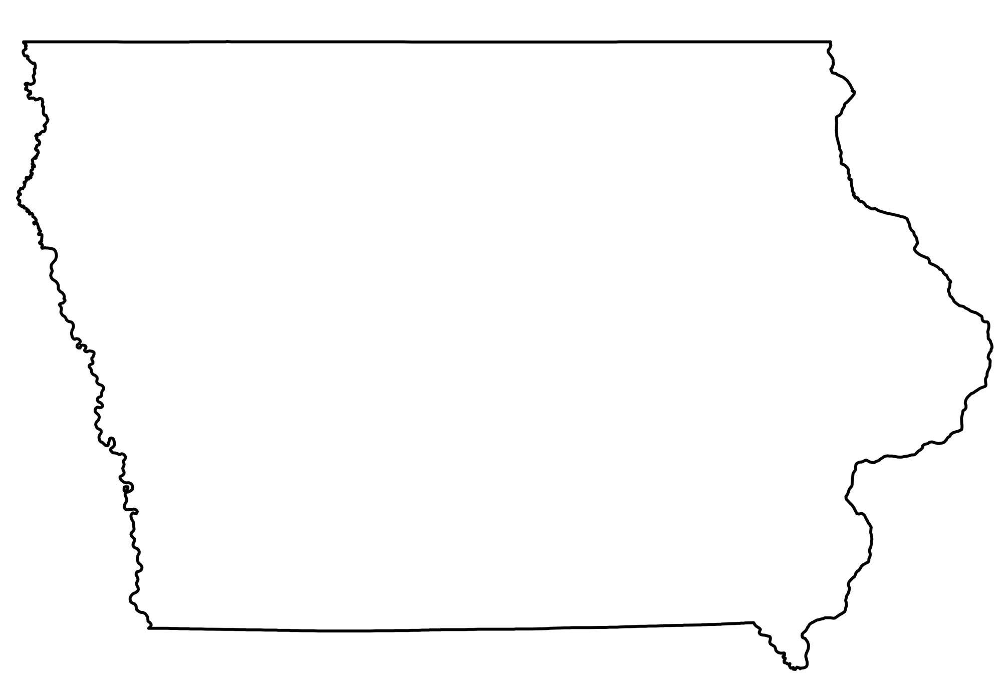
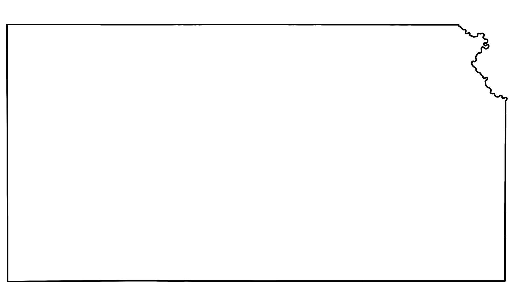
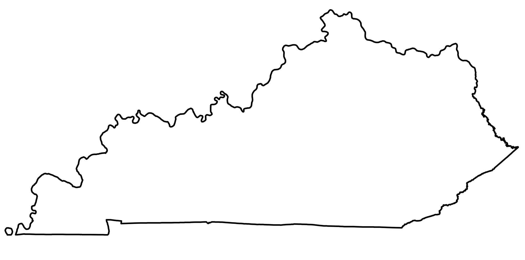
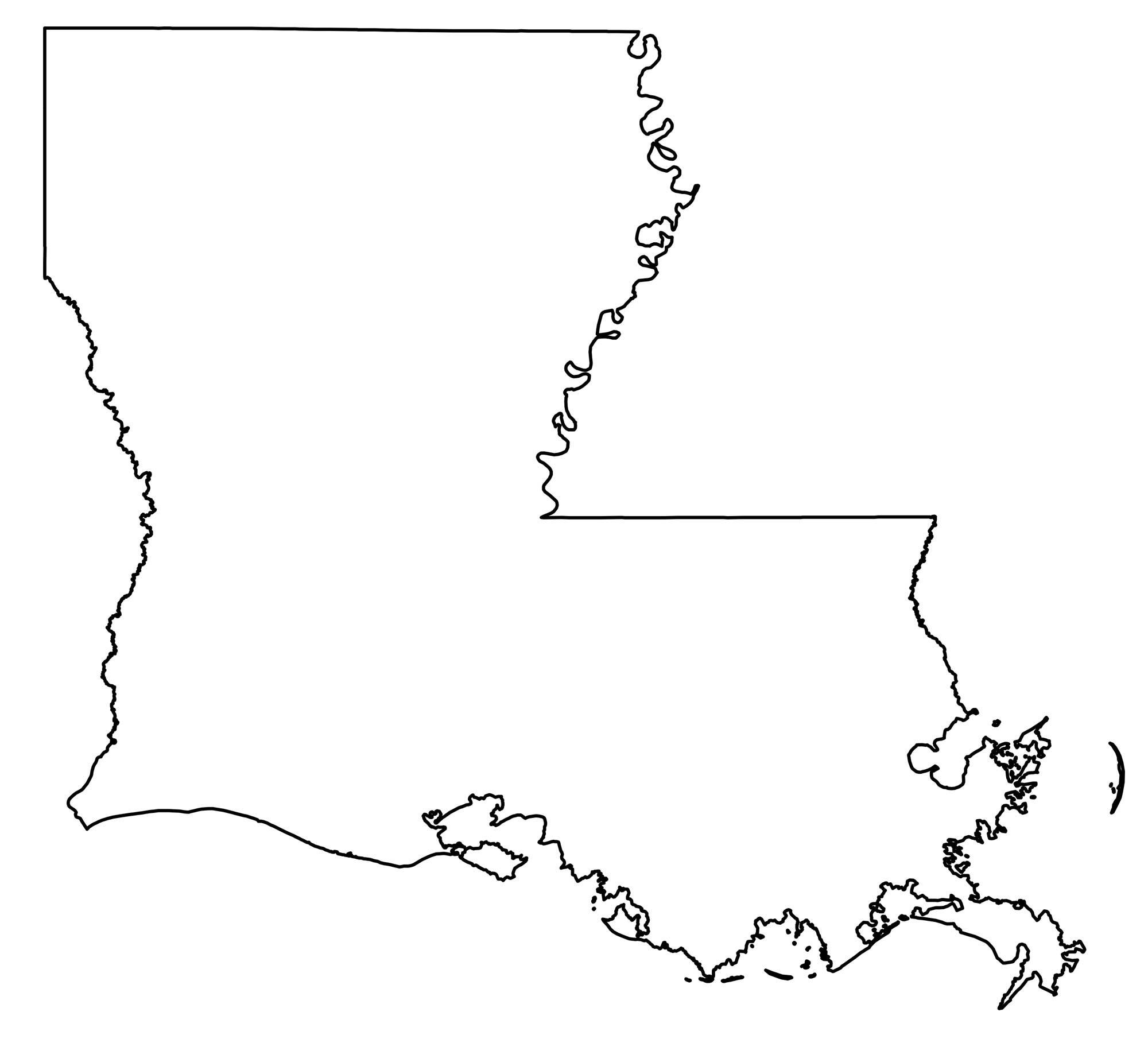
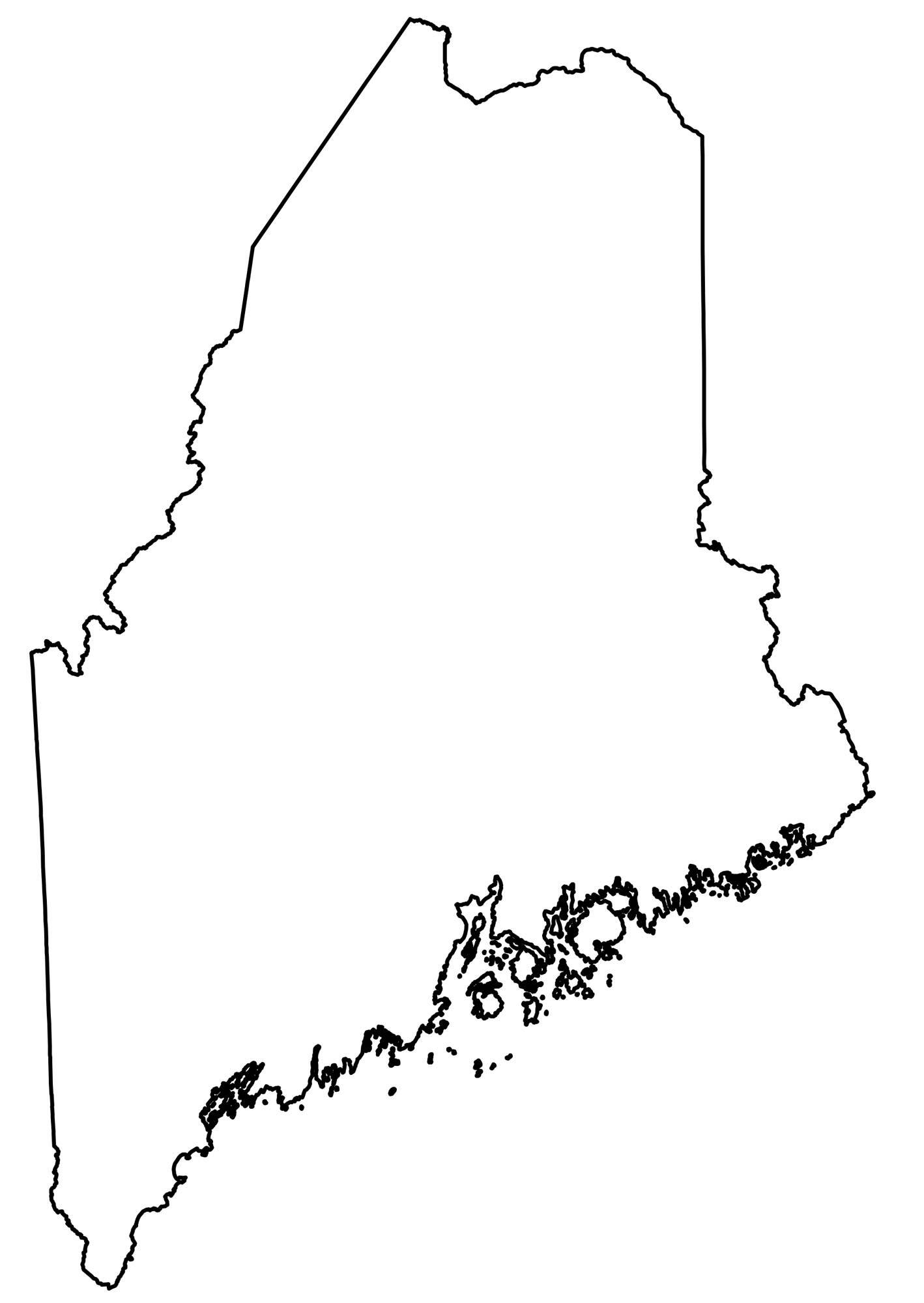
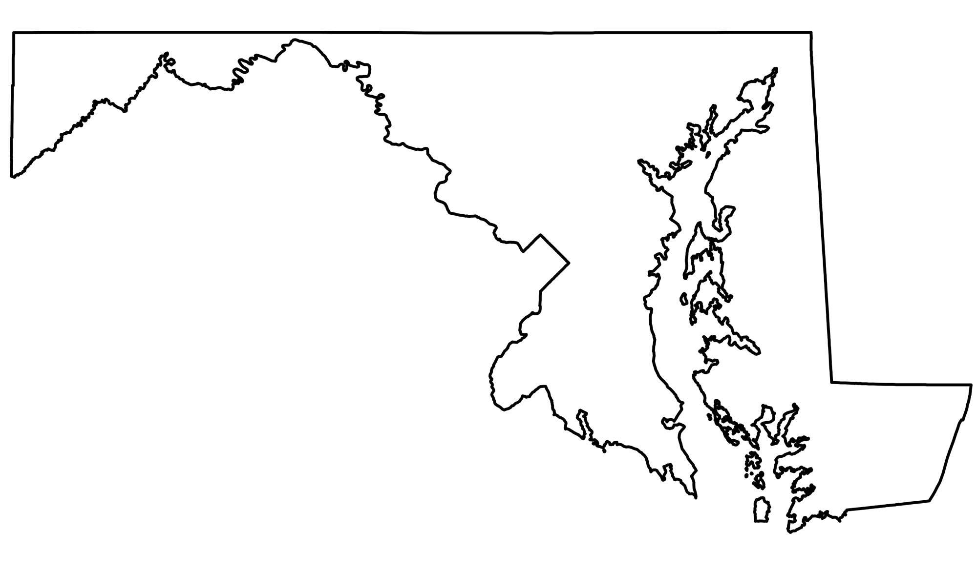
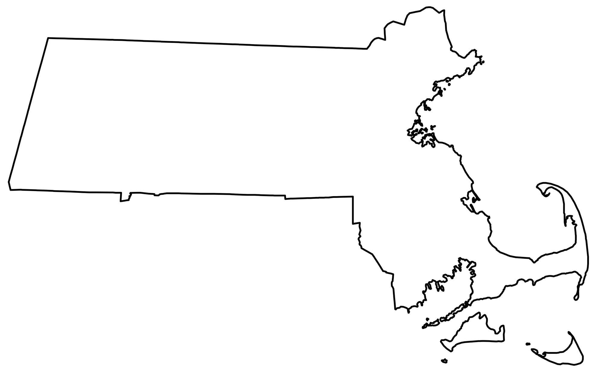
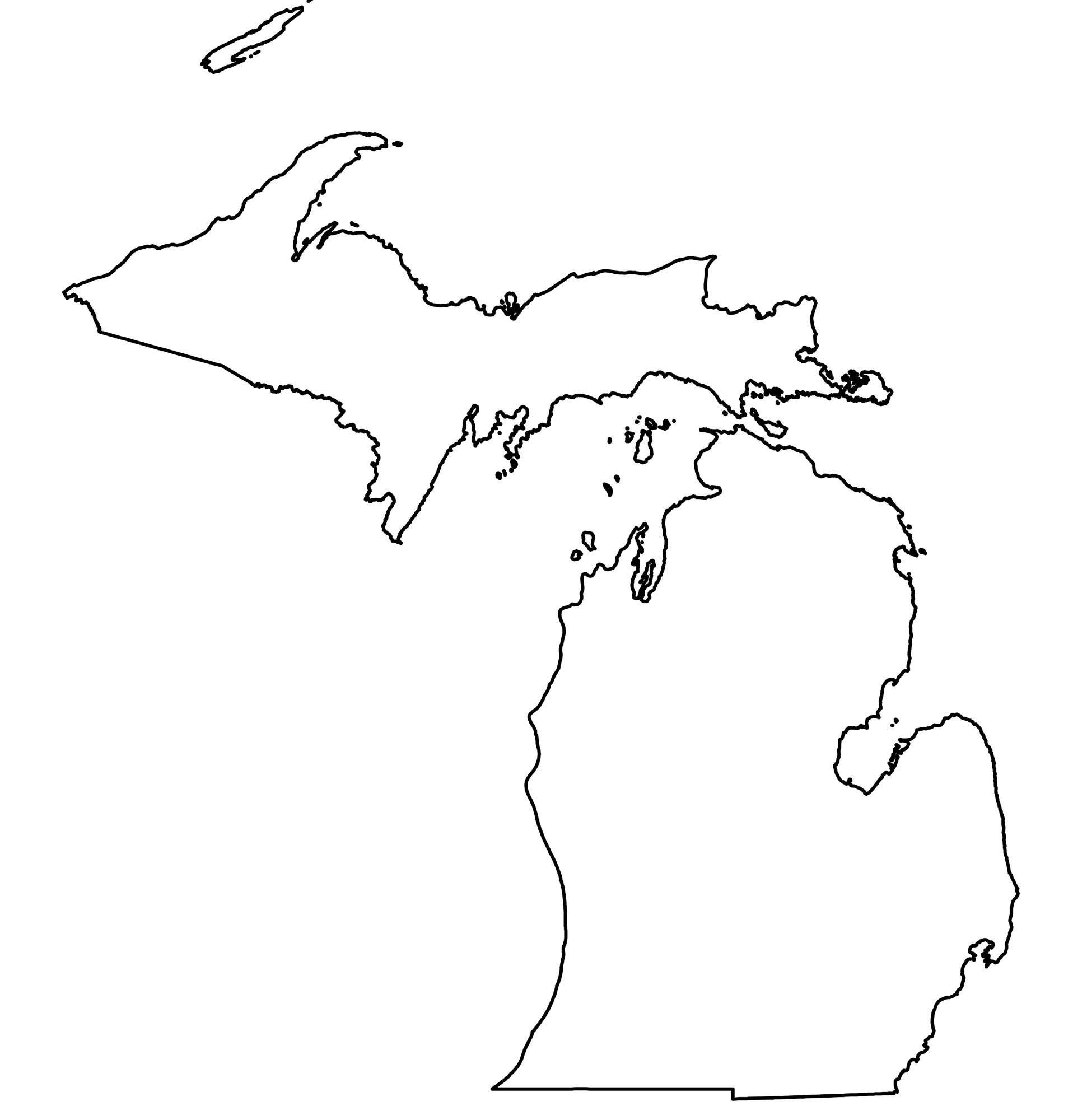
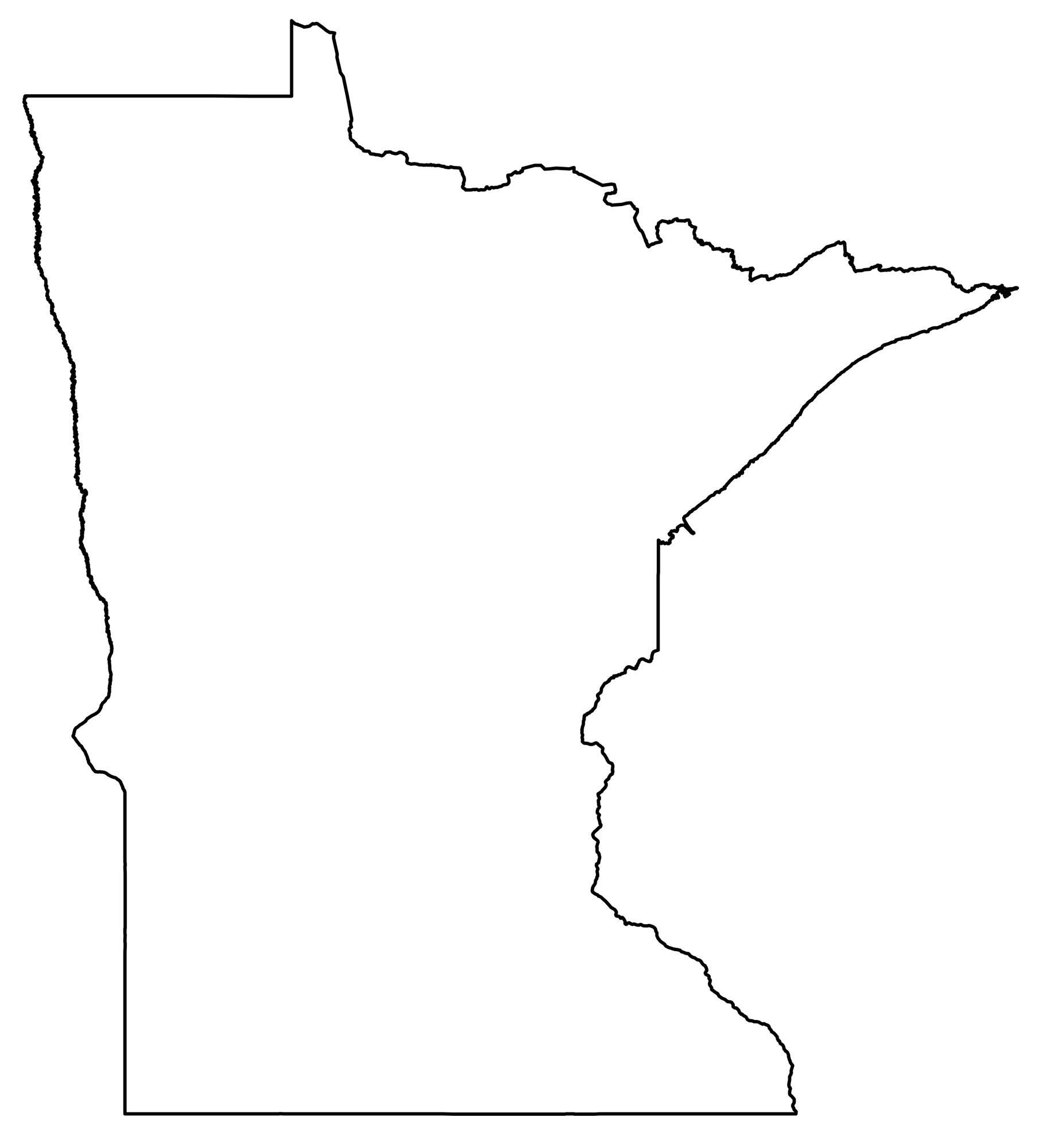
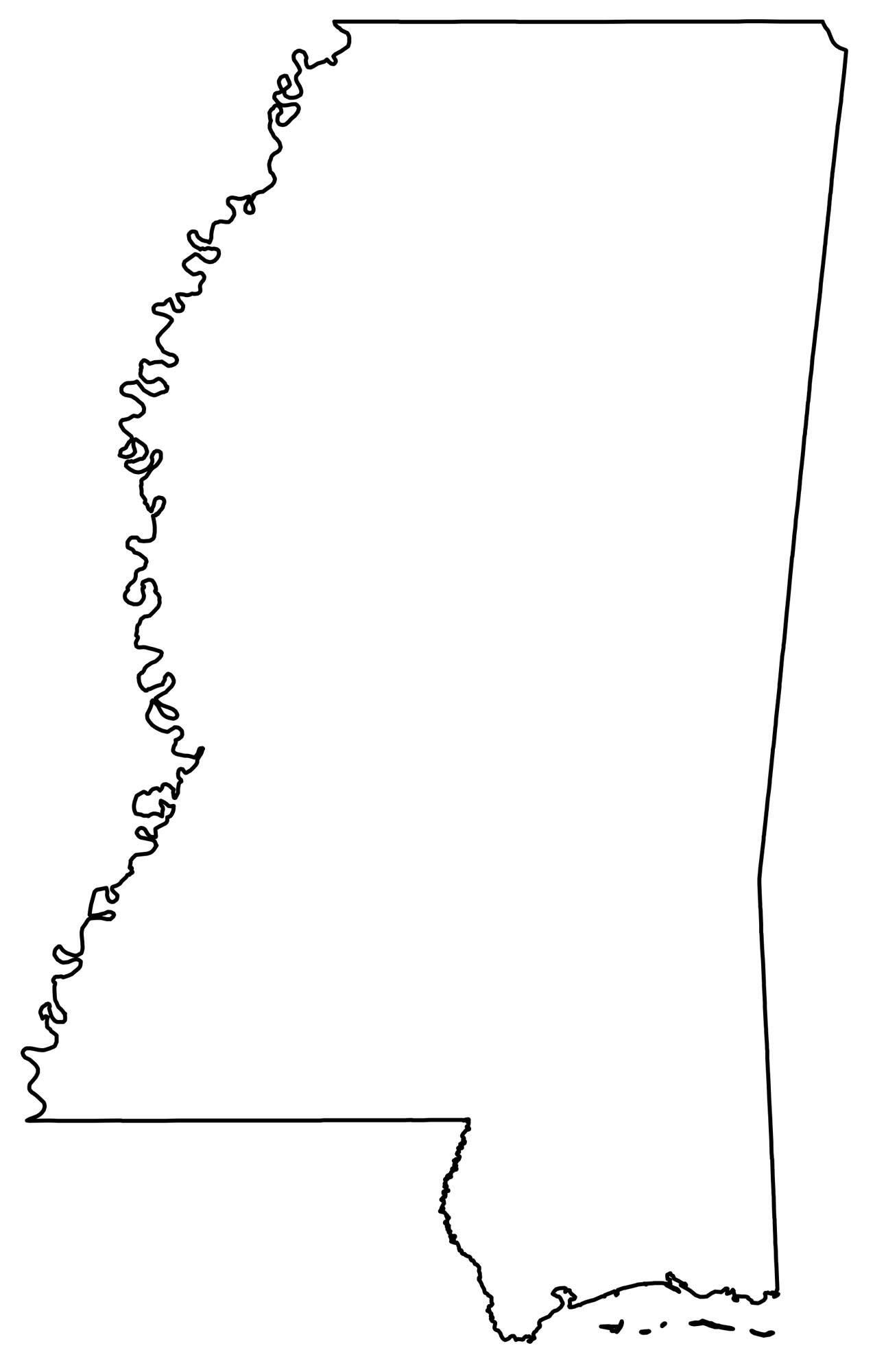
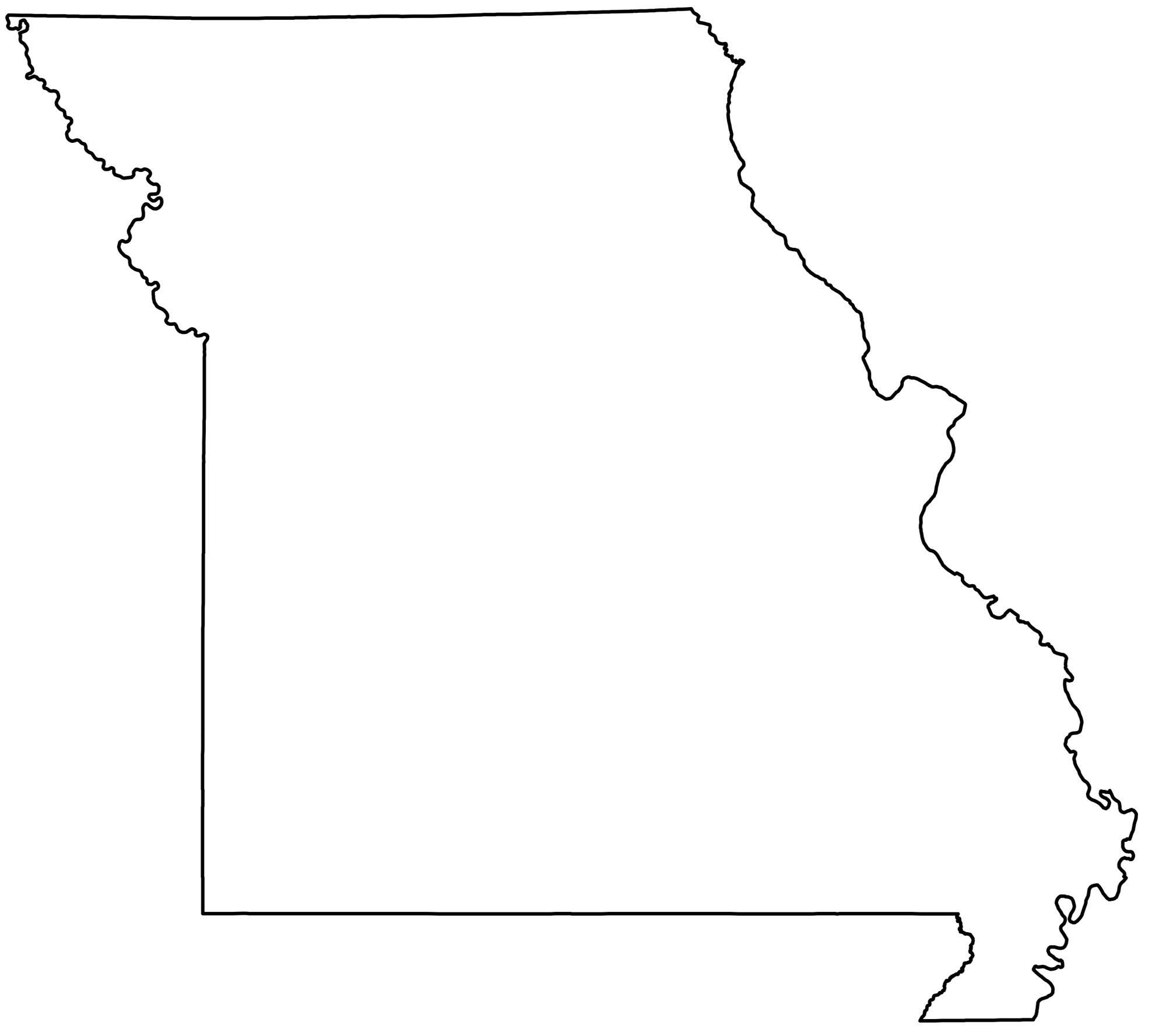
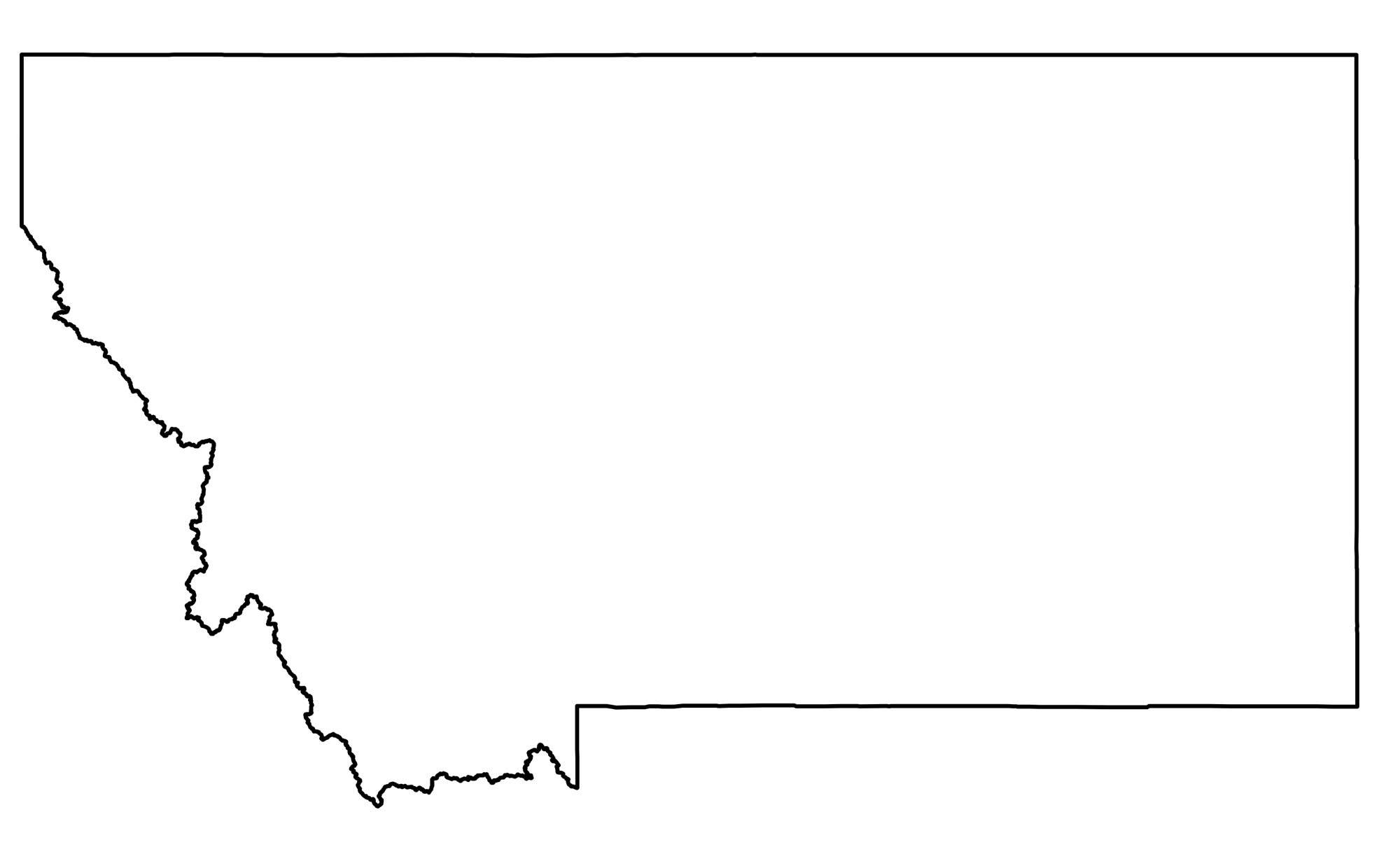
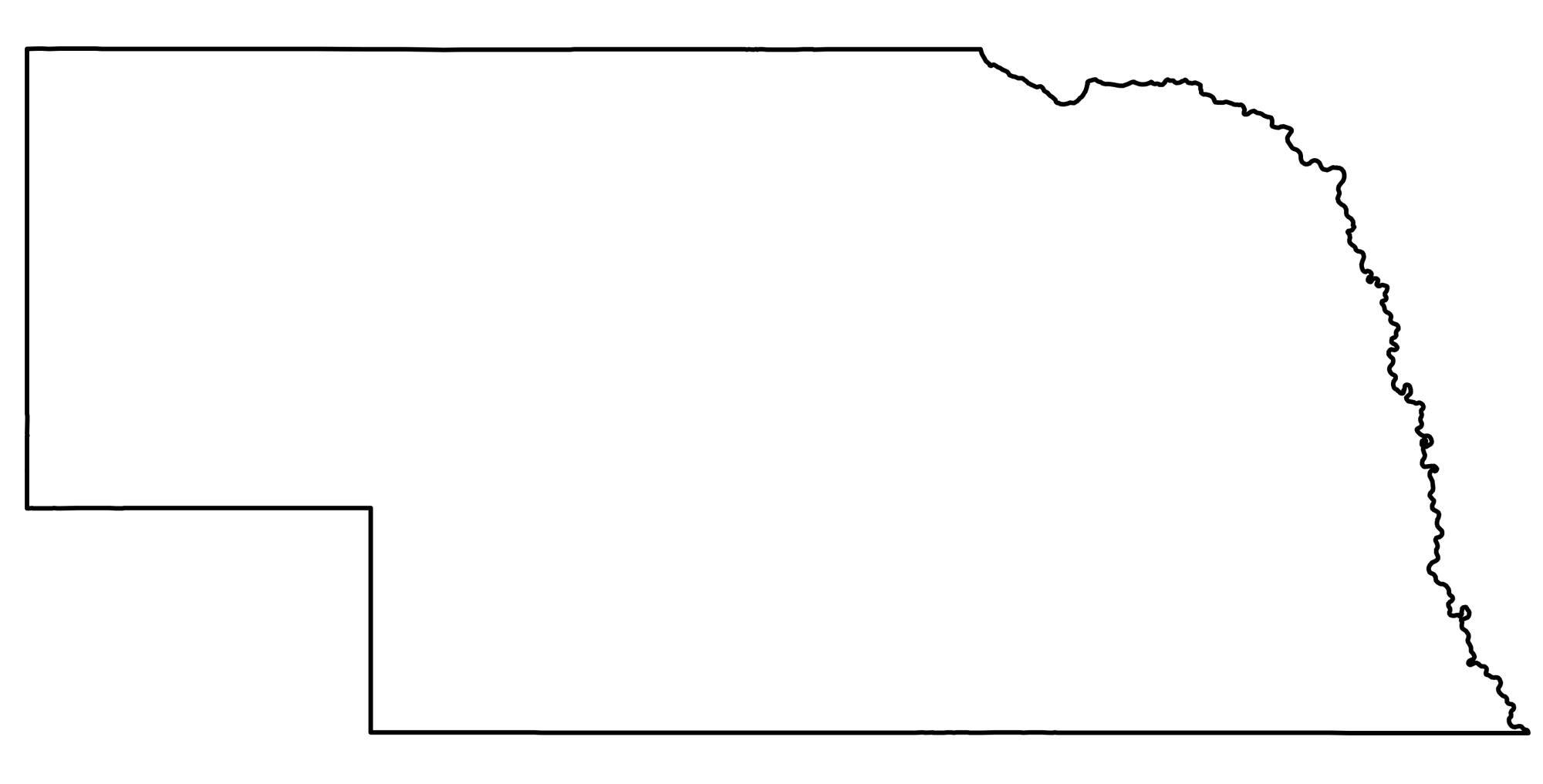
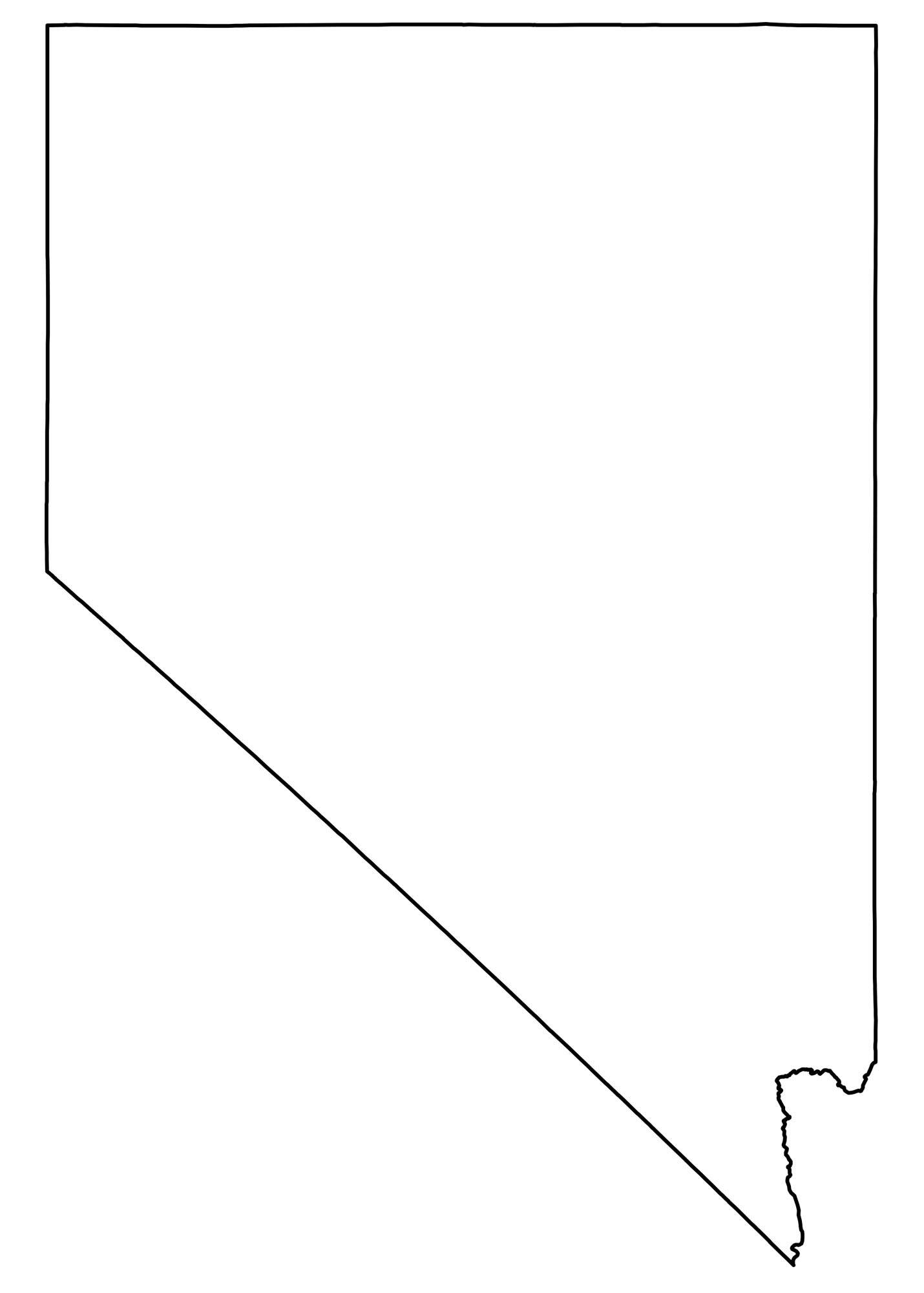
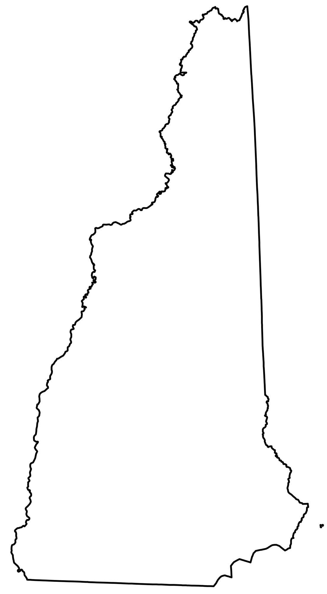
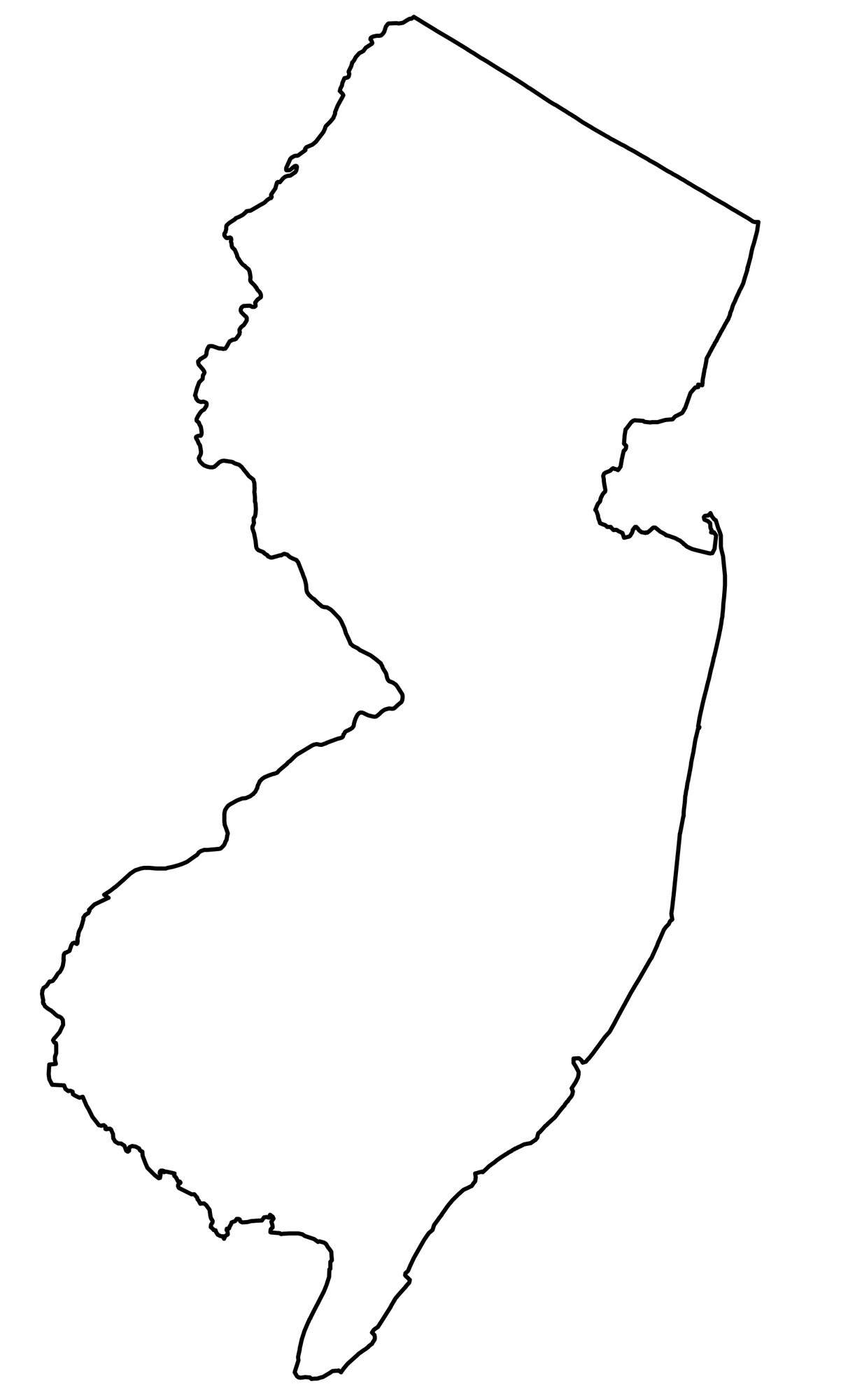
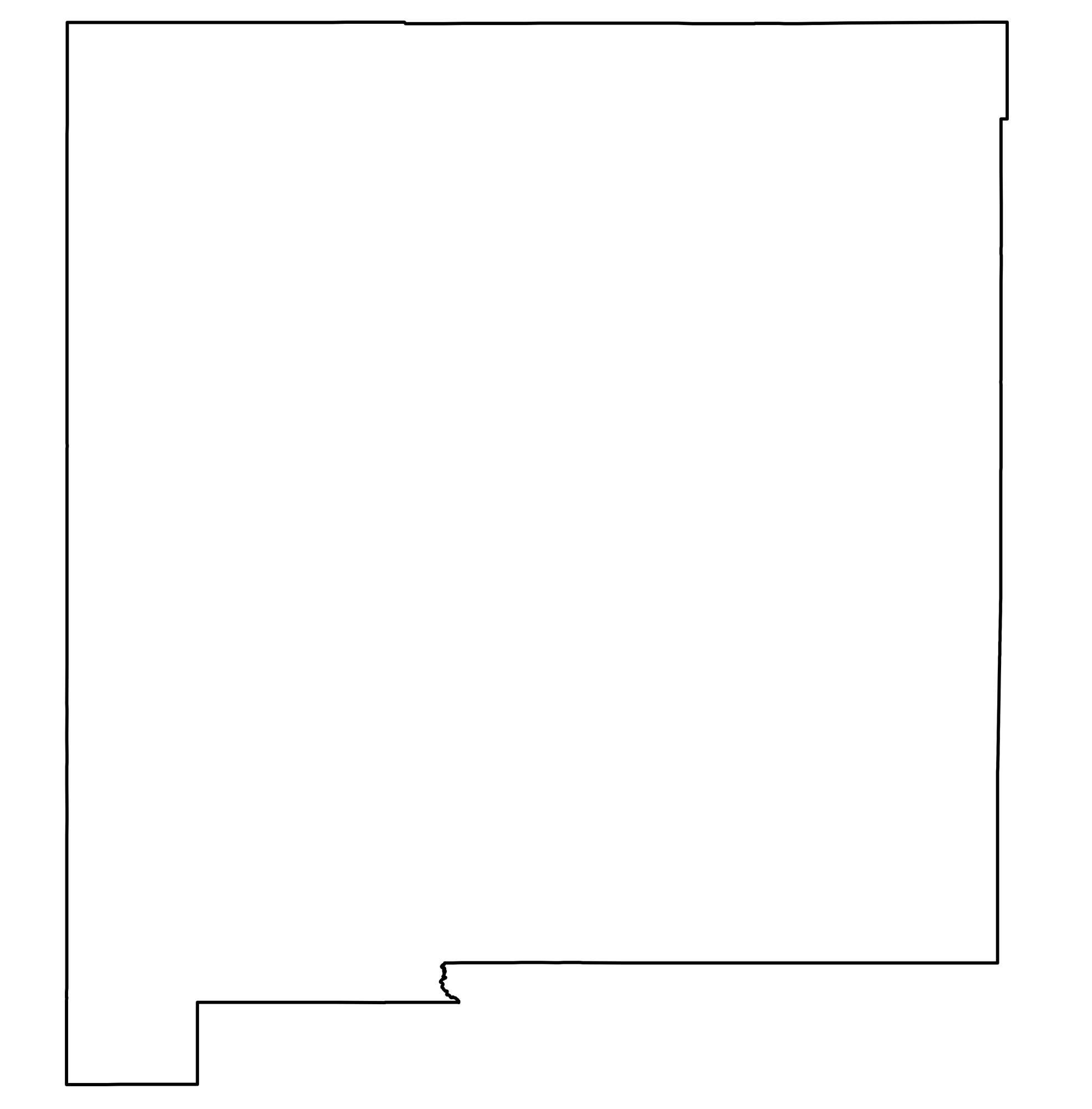
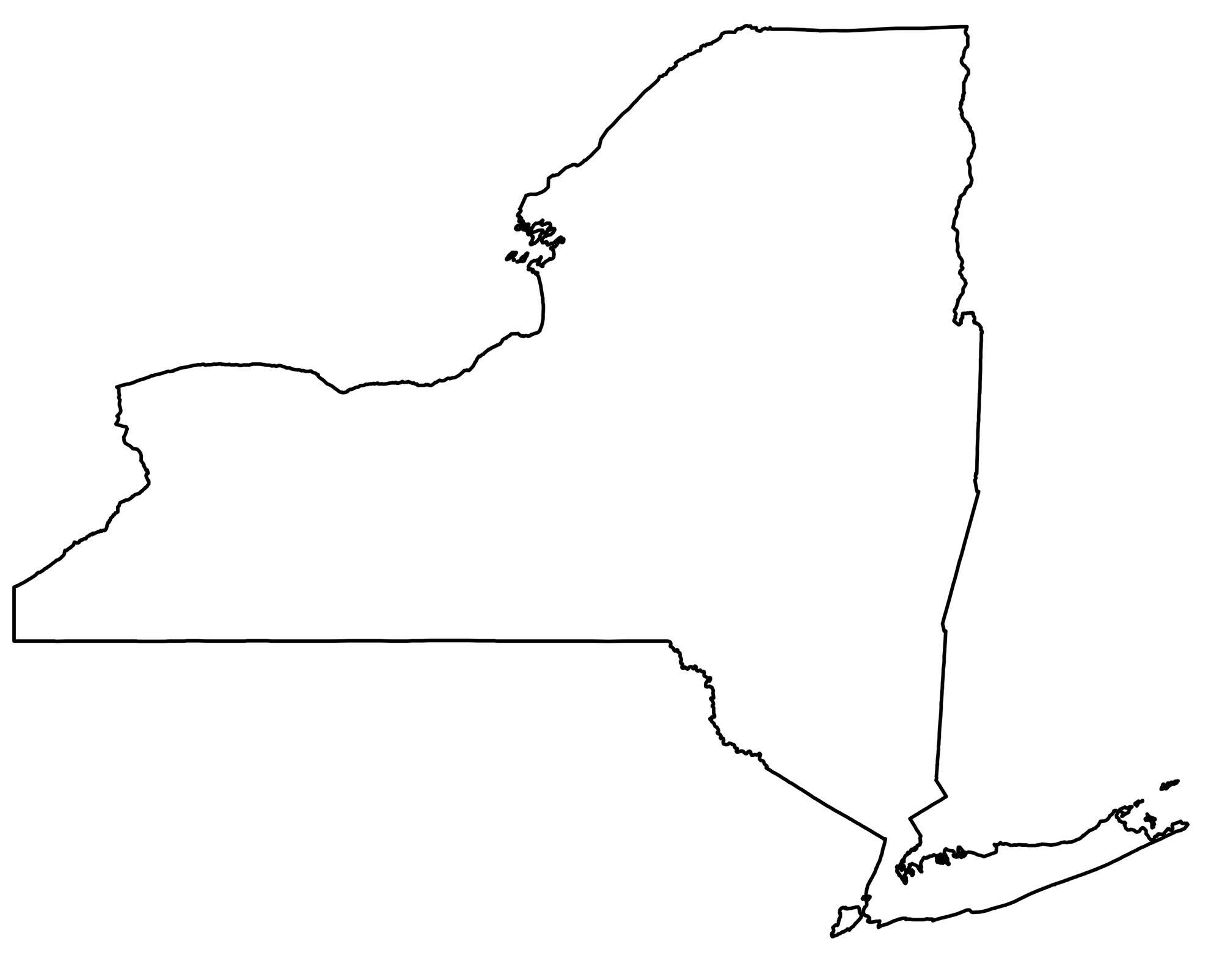
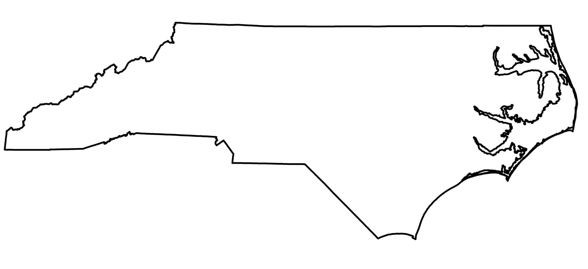
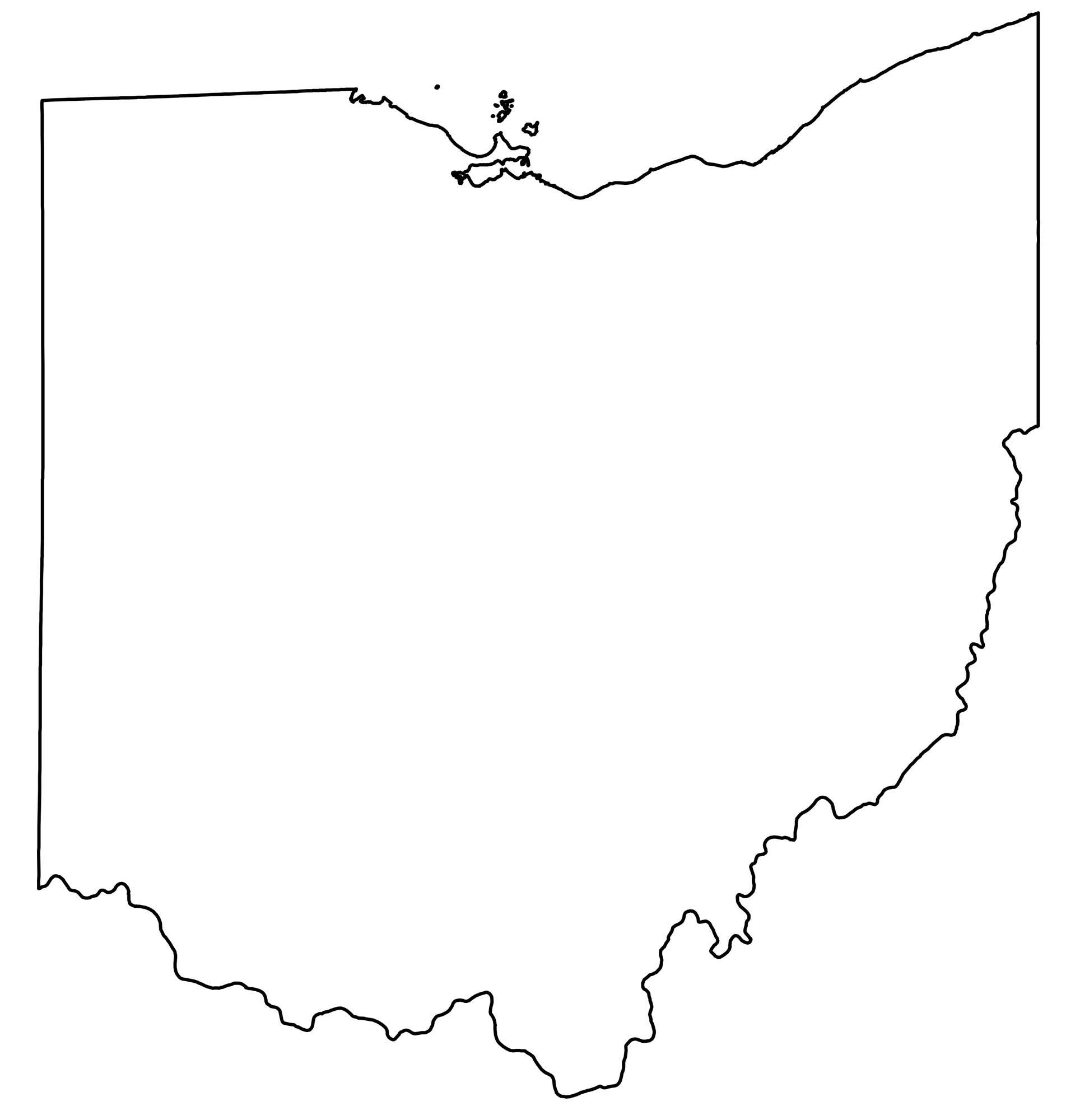
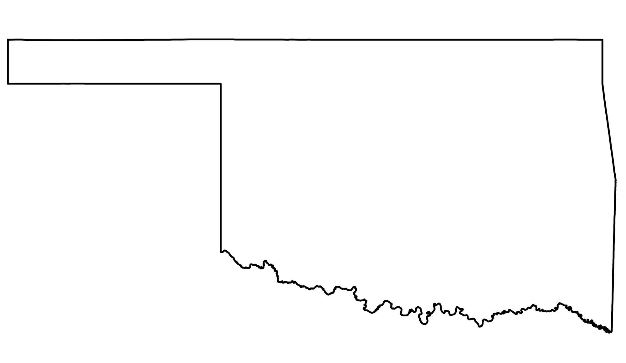
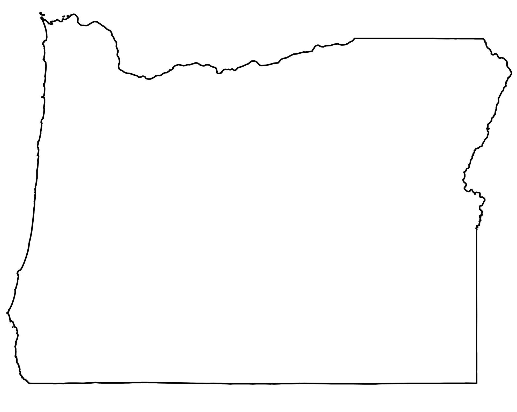
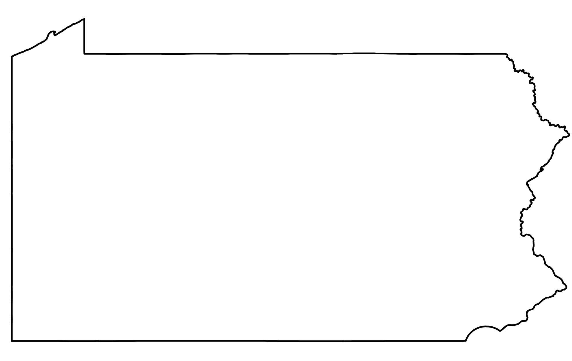
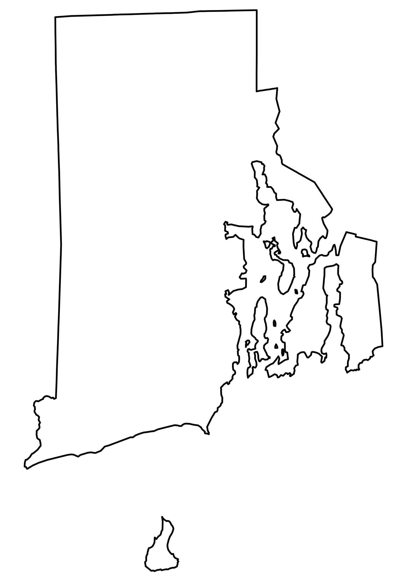
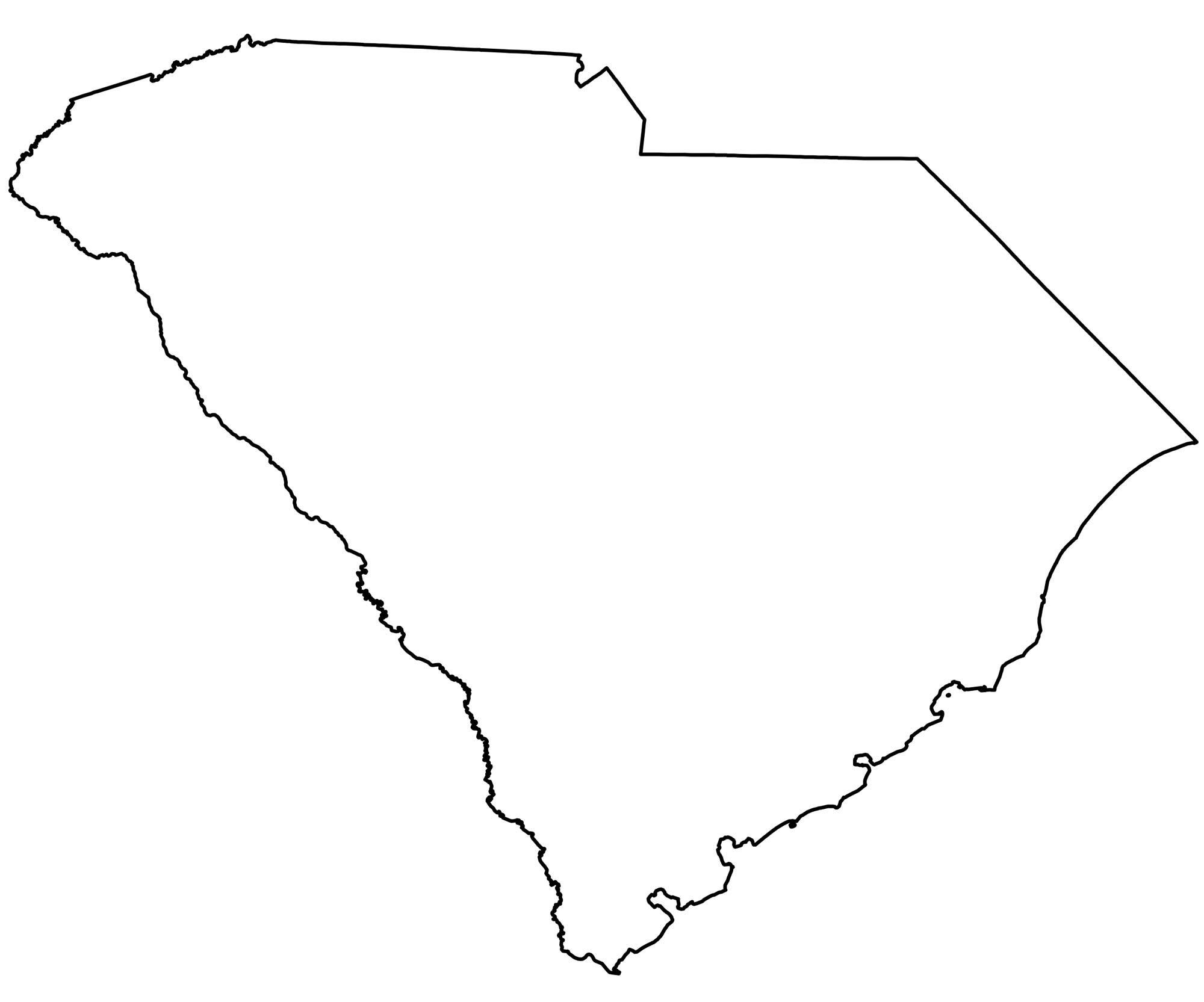
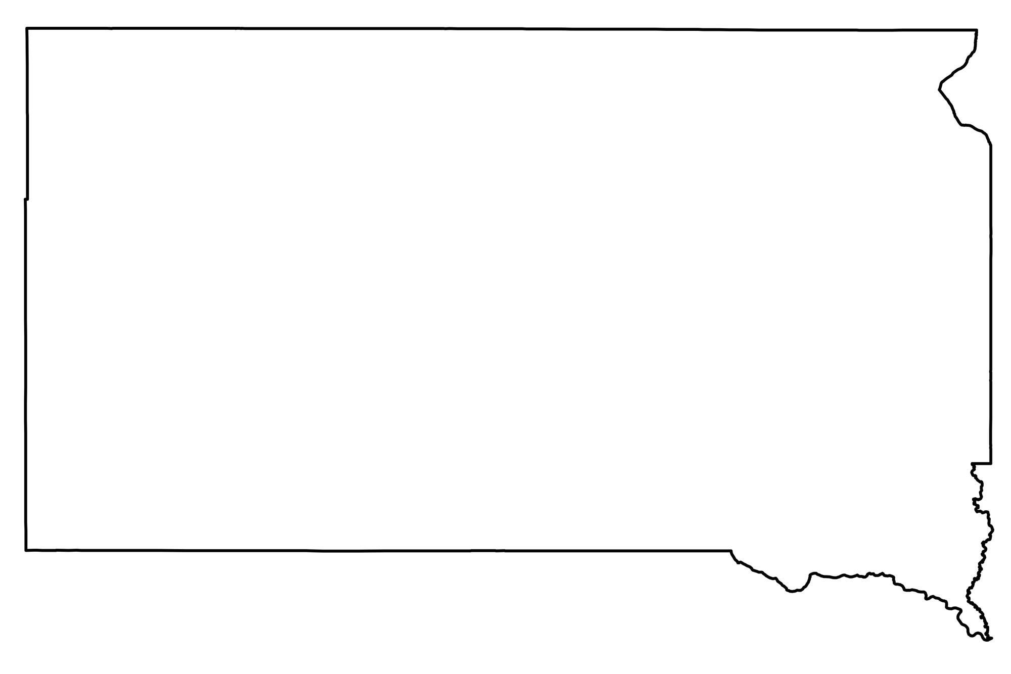
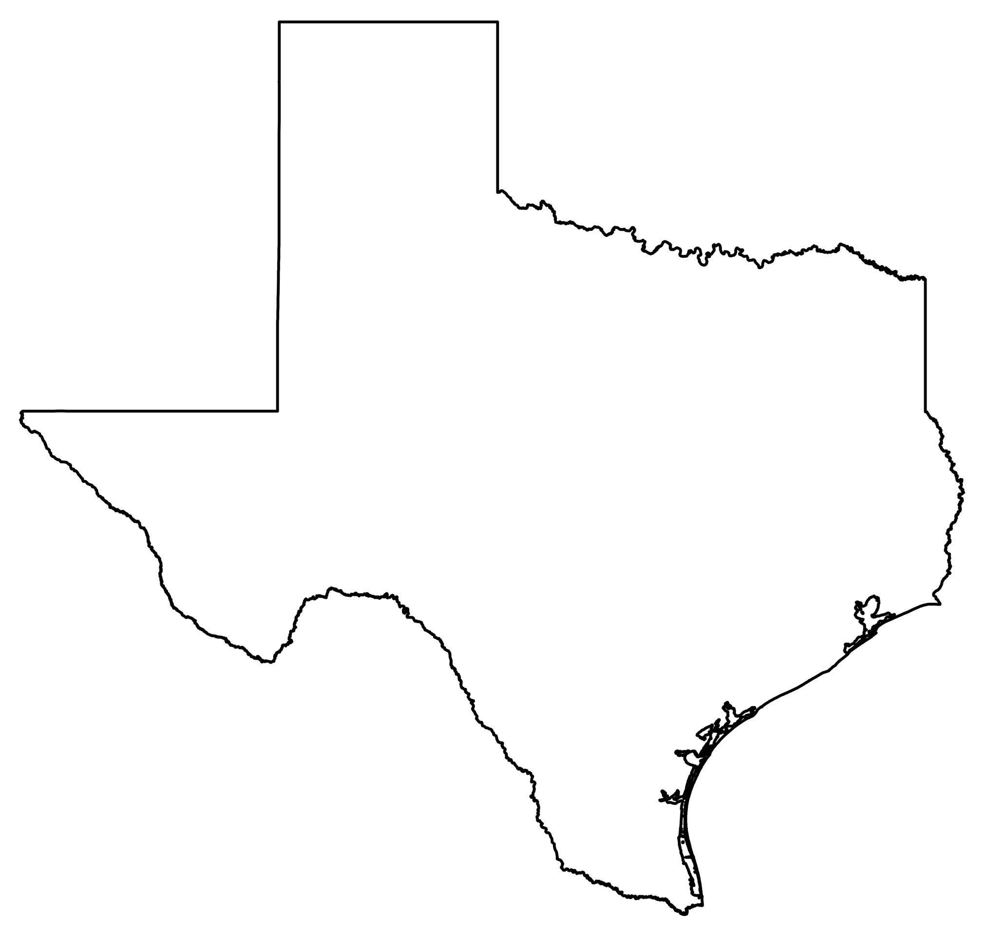
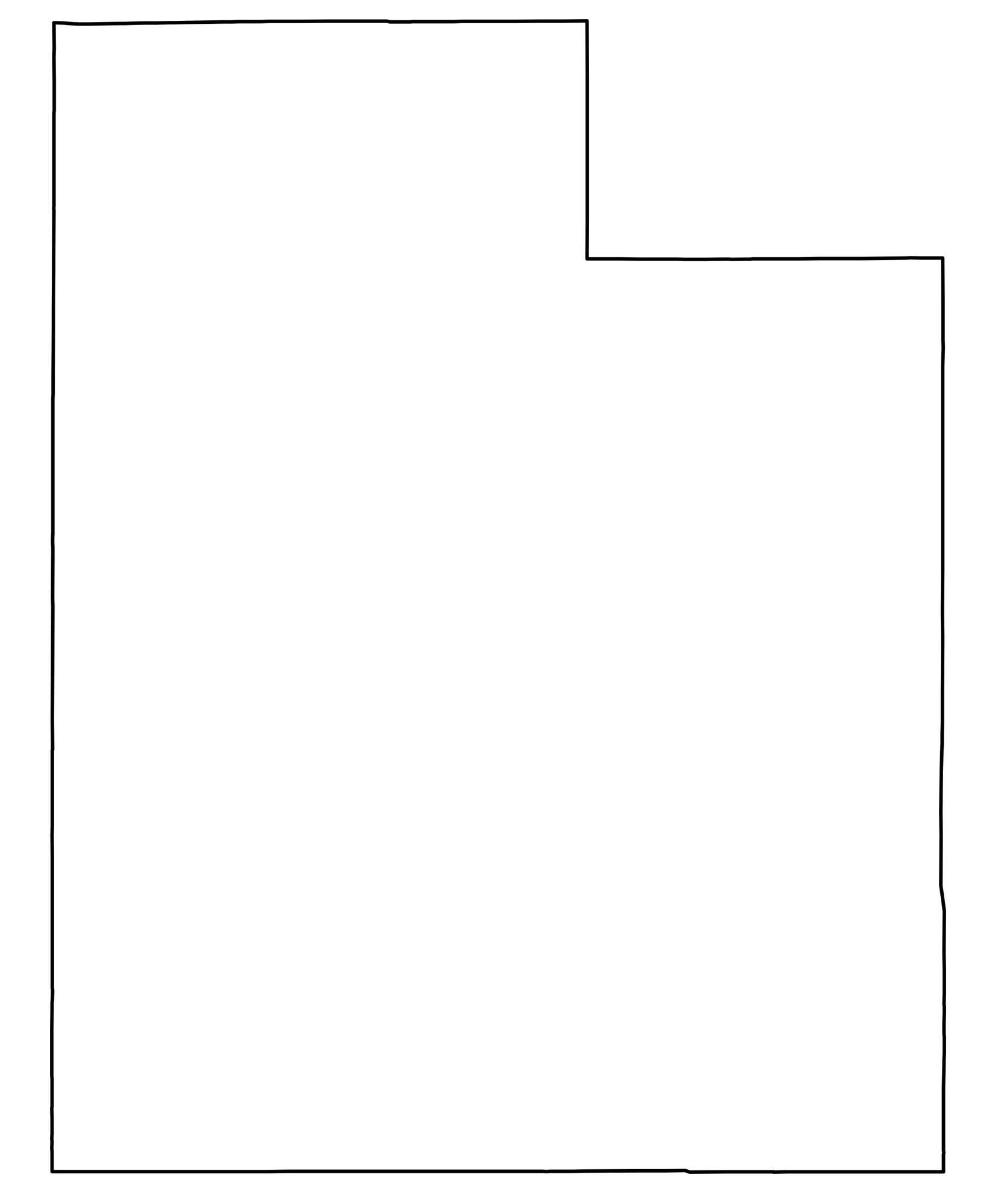
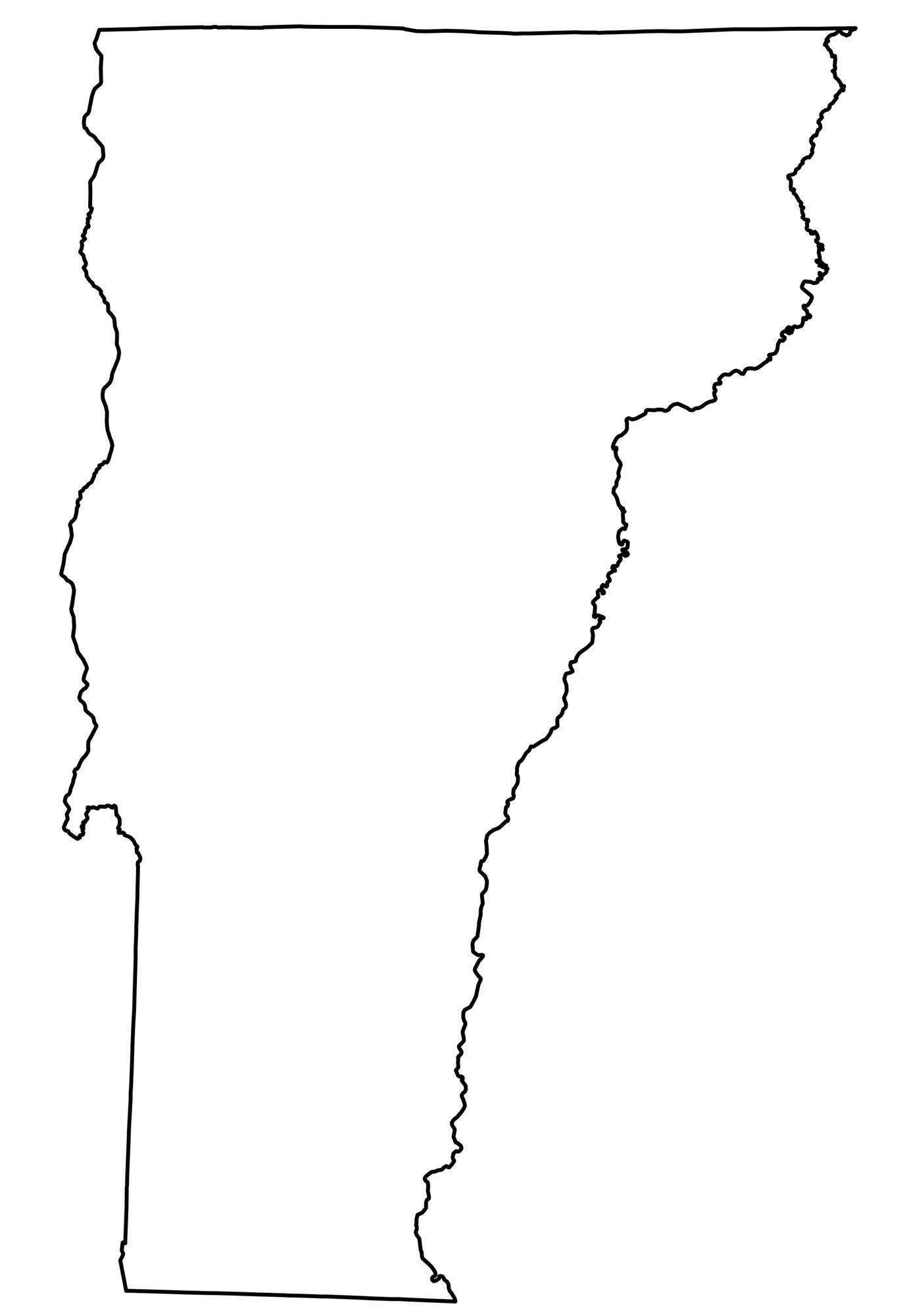
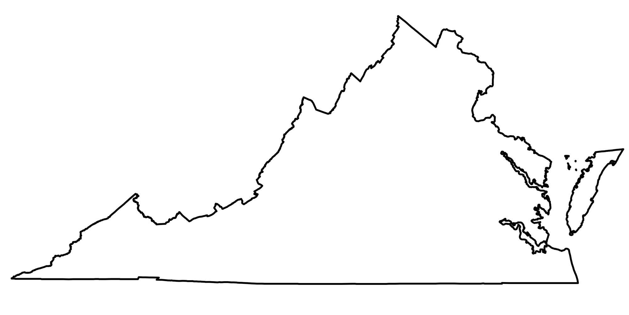
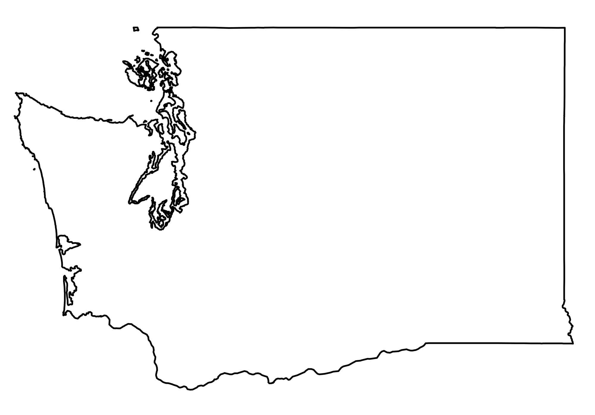
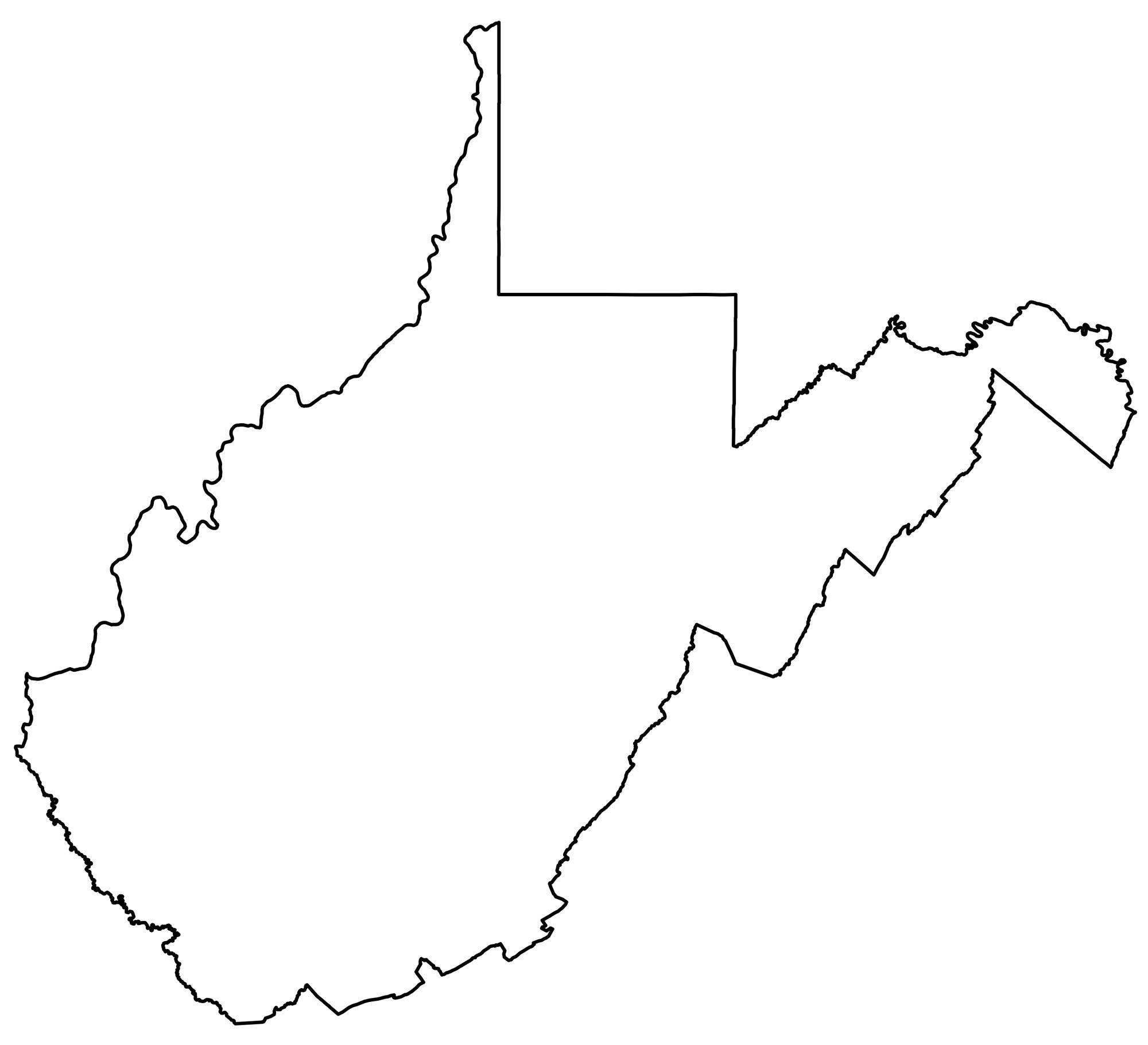
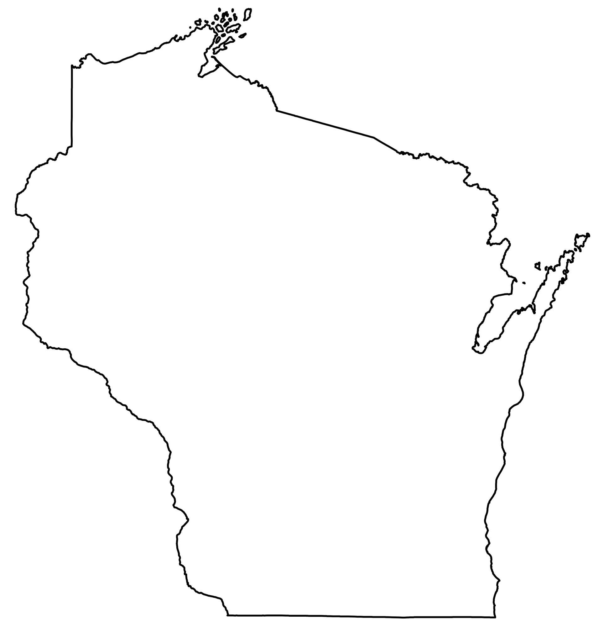
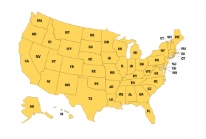
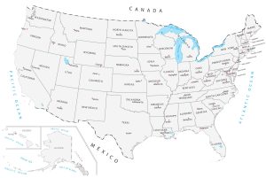
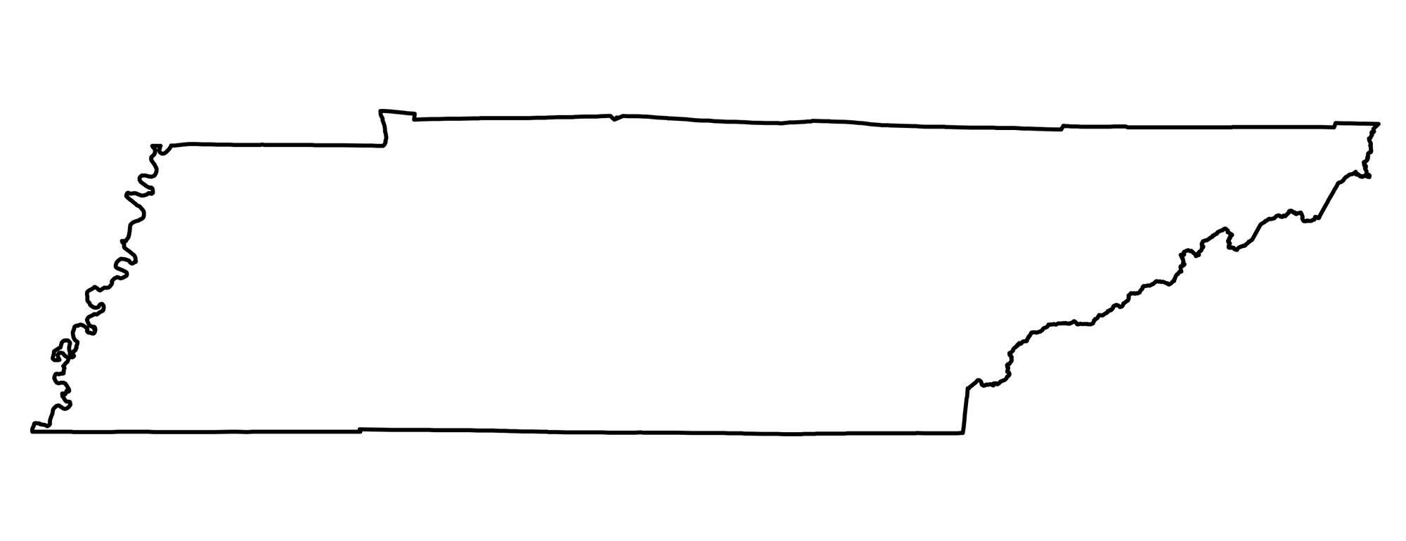
USA State Outlines
Download these US state outlines and use them in any way, shape, or form.


Do you have an outline of Washington D.C.?
I would like to use the U. S. map with the outlined states. This is a great resource to use with the regional maps to help my student understand where these regions are actually located.
Yes, please go ahead and freely use it
I am making a book for my second grade niece on the travels of Flat Stanley. I need a map with the outline of all 50 states to put in the book so the children can see where Flat Stanley traveled. Do I have permission to make a copy of the US Outline Map? Thank you!
Hi Lynne. Sorry for the late response. You might’ve contacted me by email. But please go ahead and use them. Remember to cite – https://gisgeography.com/how-to-cite/
Any chance I could print the states to scale? I would like each student to research a state and put the information inside and then us be able to build a map by connecting each of their papaers?
That’s a great idea. But unfortunately, these US state outlines are not to scale.
Do you have any maps with just states names listed with a blank line underneath to write in the capital?
Sorry, but no we don’t
We planning on a banner with three states. Is there SVG format that could be shared or another format that won’t be pixilated for printing in a 68×26 sized banner?
Sorry, but we don’t have SVG format available.
Do you have any maps that show Alaska and Hawaii as their true scale sizes? I’m doing a project with my 6th graders and they struggle with Alaska being larger than Texas as most maps don’t actually show that in textbooks.
I like to get copies of all states map thank you?
Please feel free to download, make copies and print them out.
Hi there,
Thank you so much for creating and sharing these resources! I’m currently teaching a unit on economics, and I’m having my students stamp different types of production on each state. It’s been a great activity, and your materials have been really helpful.
I was wondering if you happen to have a PDF or Word file that includes all of the states. When I try to print them directly from the link, the background comes out black, so I’ve been copying and pasting each one into a Word document manually. If there’s an easier way to print them, I’d really appreciate any guidance you can offer.
Thanks again for all your work!
Best,
Martha
Hi Martha. Sorry we don’t have them as a PDF or Word. But we’ll consider adding one to the page. I imagine there are others who would want it in this format as well
That’s just what I’m planning on using them for. It’s a big study in Montessori education. Are you a Montessori teacher, by chance?
new york’s outline is not available as of 04/08/2025
Thanks! Fixed it
Hi, Thank you very much for these wonderful maps! I really appreciate it <3
BEST EVER outline and graphs of States to teach children the shape of individual states, “OUR KIDS WON”.
I bookmarked your website, Best ever, thank you for making it easy and one of the best part you allowed our kids to use it for FREE, Thanks again for making learning Fun and Easy.
I’m trying to find shapes like these to use in a quiz. How do you download?
You can right-click and save as. You have permission to use these for the quiz.
Thanks for the maps,
Quick update, Louisiana doesnt seem to open up to full size, would that be something you could help me with.
Hi Sam. I just fixed that. Thanks for letting me know.
You guys are awesome!
I don’t want the states of USA! :( I want a blank map of USA 🇺🇸
Hi Josef. I’ve added two full maps with the entire landmass of the US.
(1) USA States Outline Map – This one includes all the state outlines, including Hawaii and Alaska
(2) United States Blank Map – This one doesn’t include all the state outlines
The individual state outlines are EXACTLY what I was looking for a trivia game. I’m setting up for seniors living in an assisted living facility! Thank you!!
Glad it could be of assistance for you.
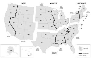
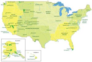
Can you make maps by region?
We do have this US Regions Map – https://gisgeography.com/us-regions-map/
Thanks!!!
Thank you for providing these
Would rather they used the same scale for Alaska and put it in the proper location. These types of maps do not teach the the kids all the truth.
Hi, I found individual outlined state in black and white. I would like color states. If you have or know anyone, please let me know. Thanks!
Great! Using this to map out my Bucket List travels…..
Thanks for this website. I have no idea how I missed this site when looking for free map downloads, especially one that gives you a clear picture. Most others are blurry and very hard to read without glasses or something to magnify the text.