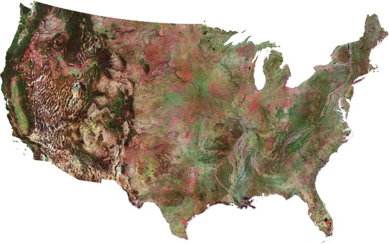
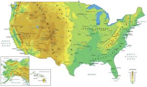
Satellite Map of USA – United States of America
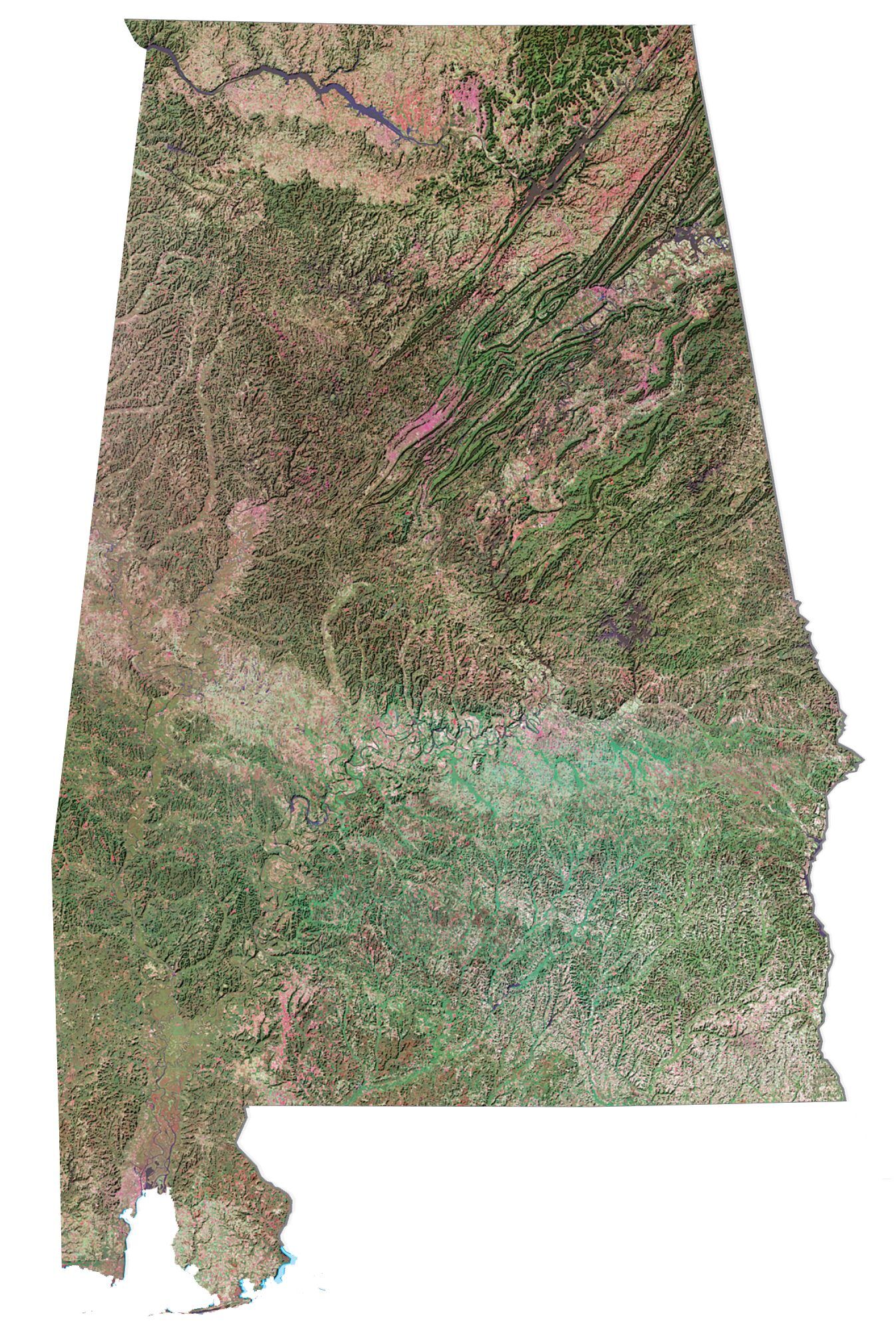
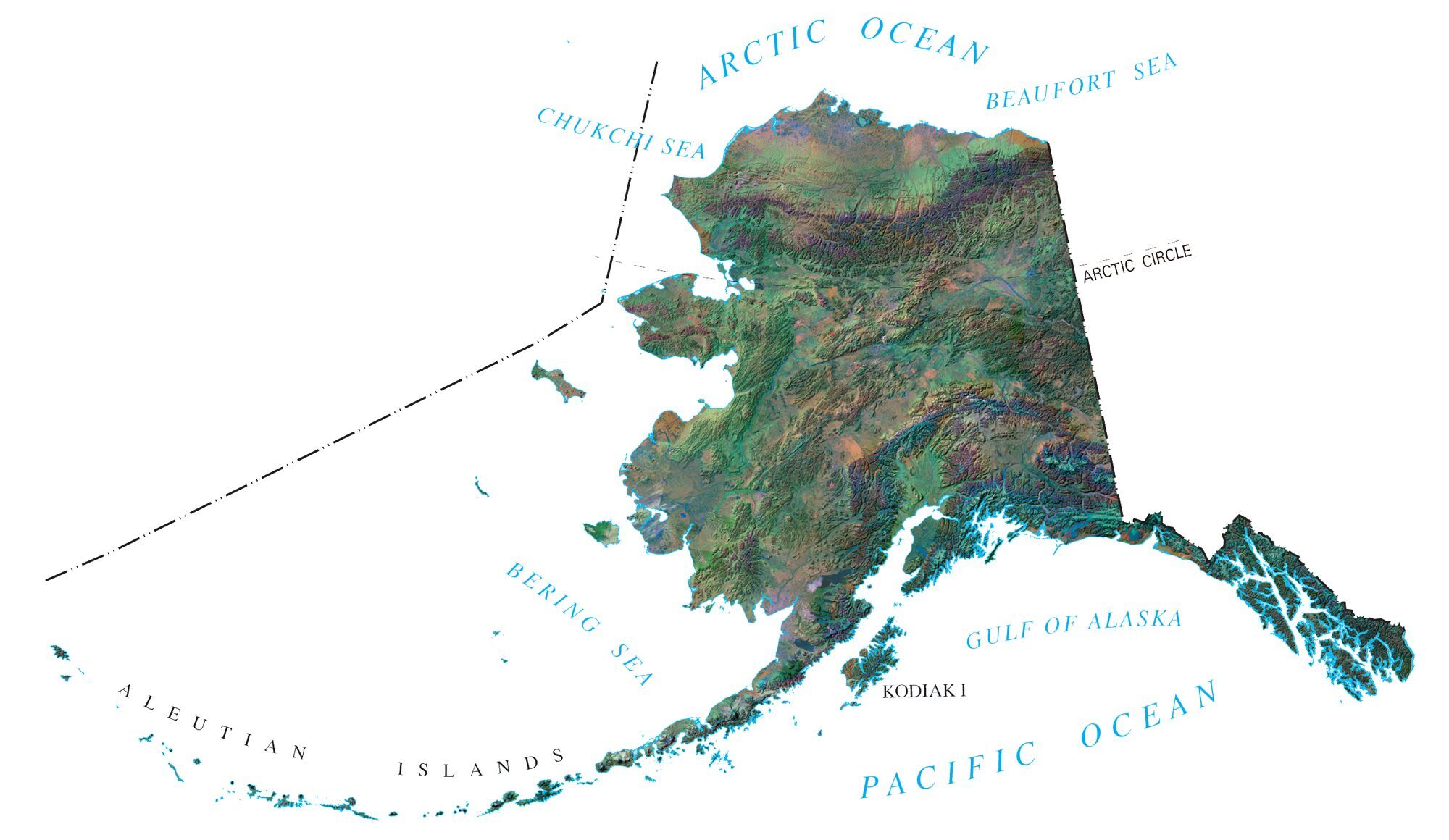
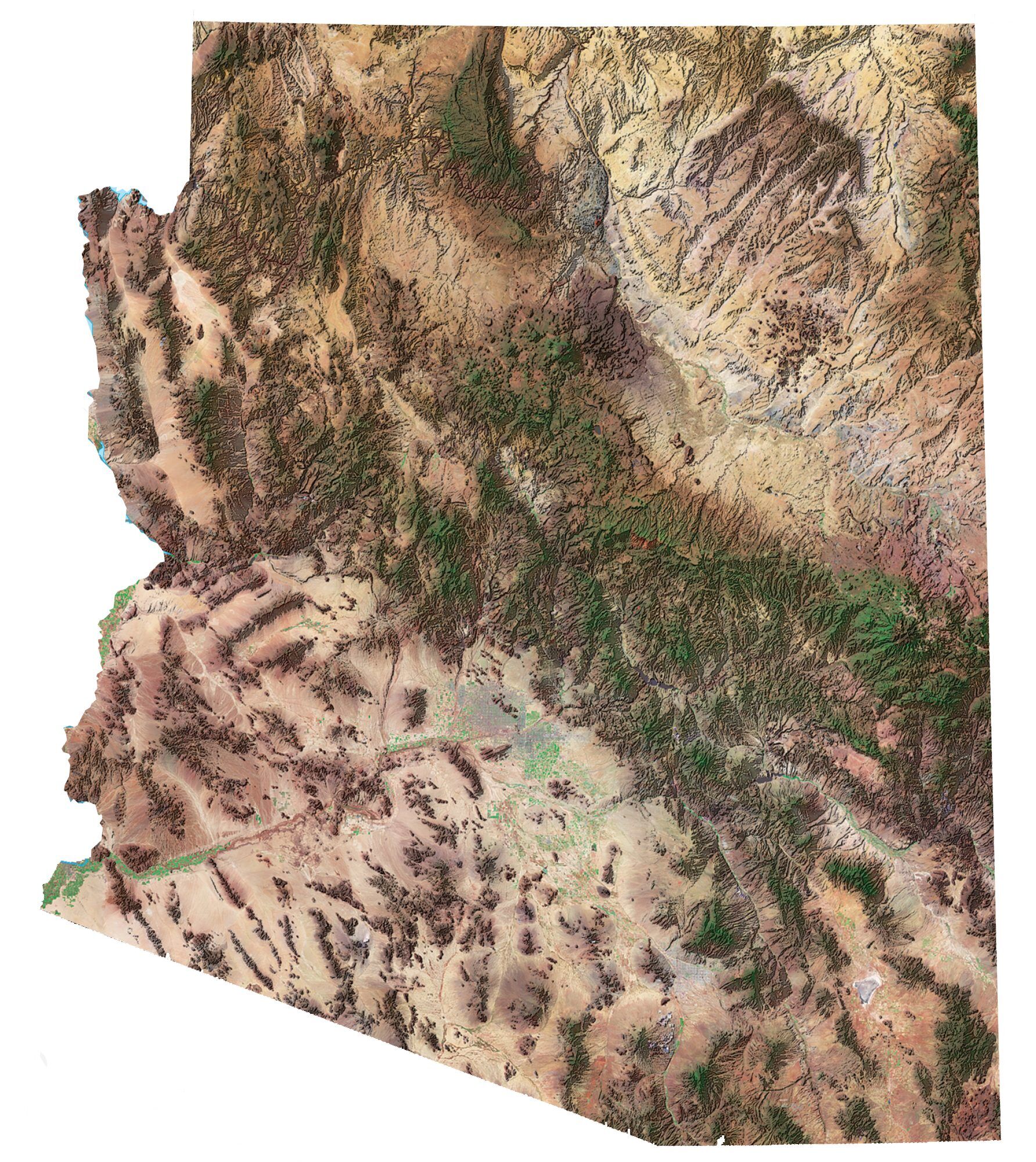
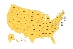
Download our satellite map of the United States. It’s free to use for any purpose. Alternatively, select from any of the 50 states for more satellite maps of the USA.
You are free to use our United States satellite map for educational and commercial uses. Attribution is required. How to attribute?
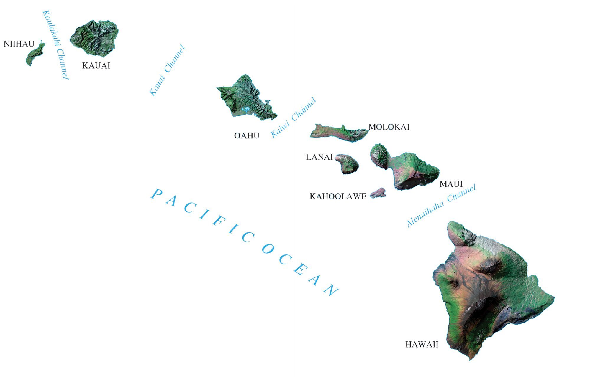
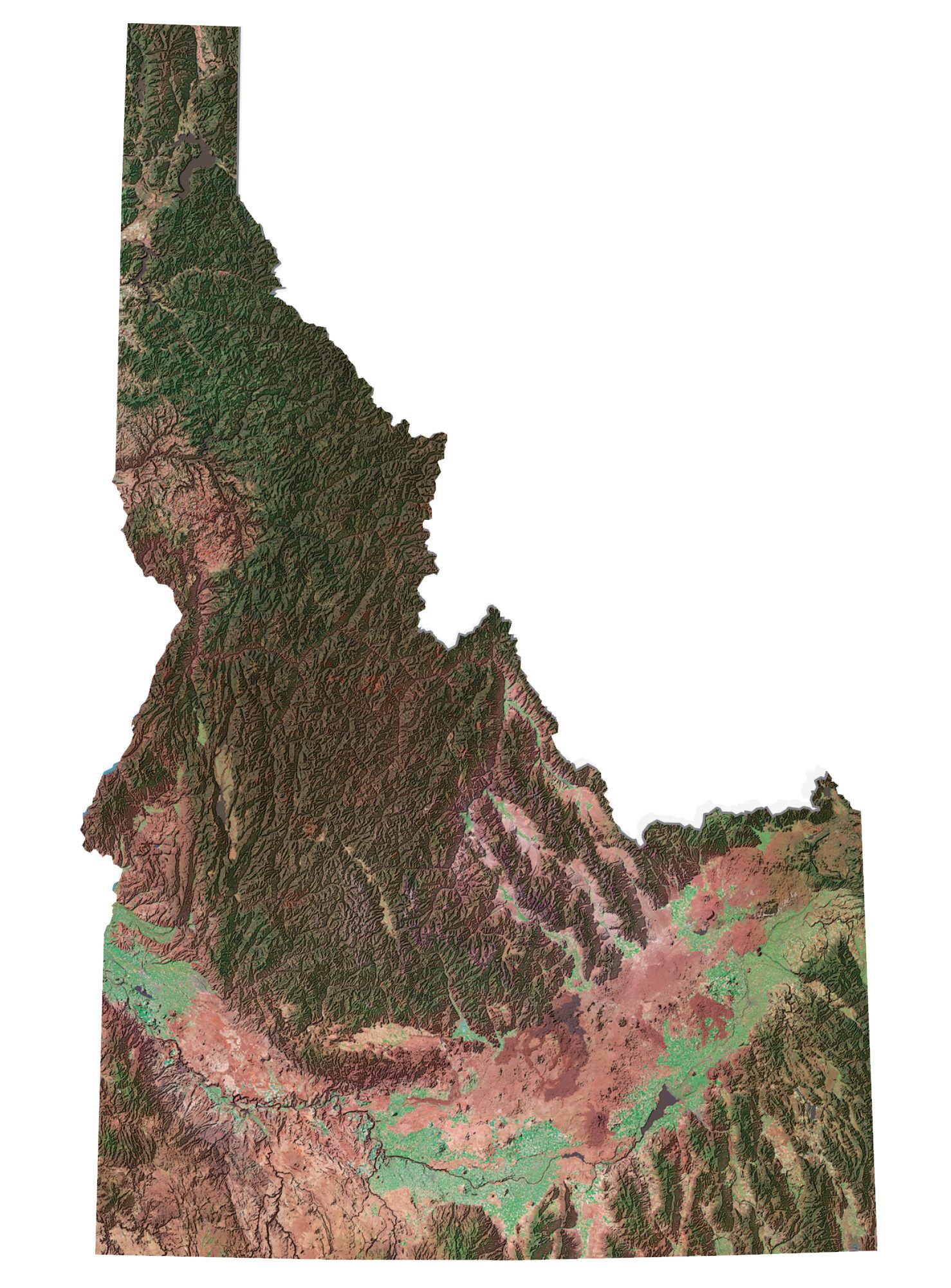
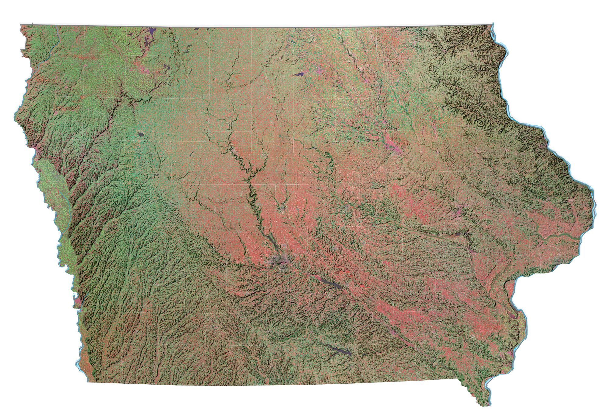
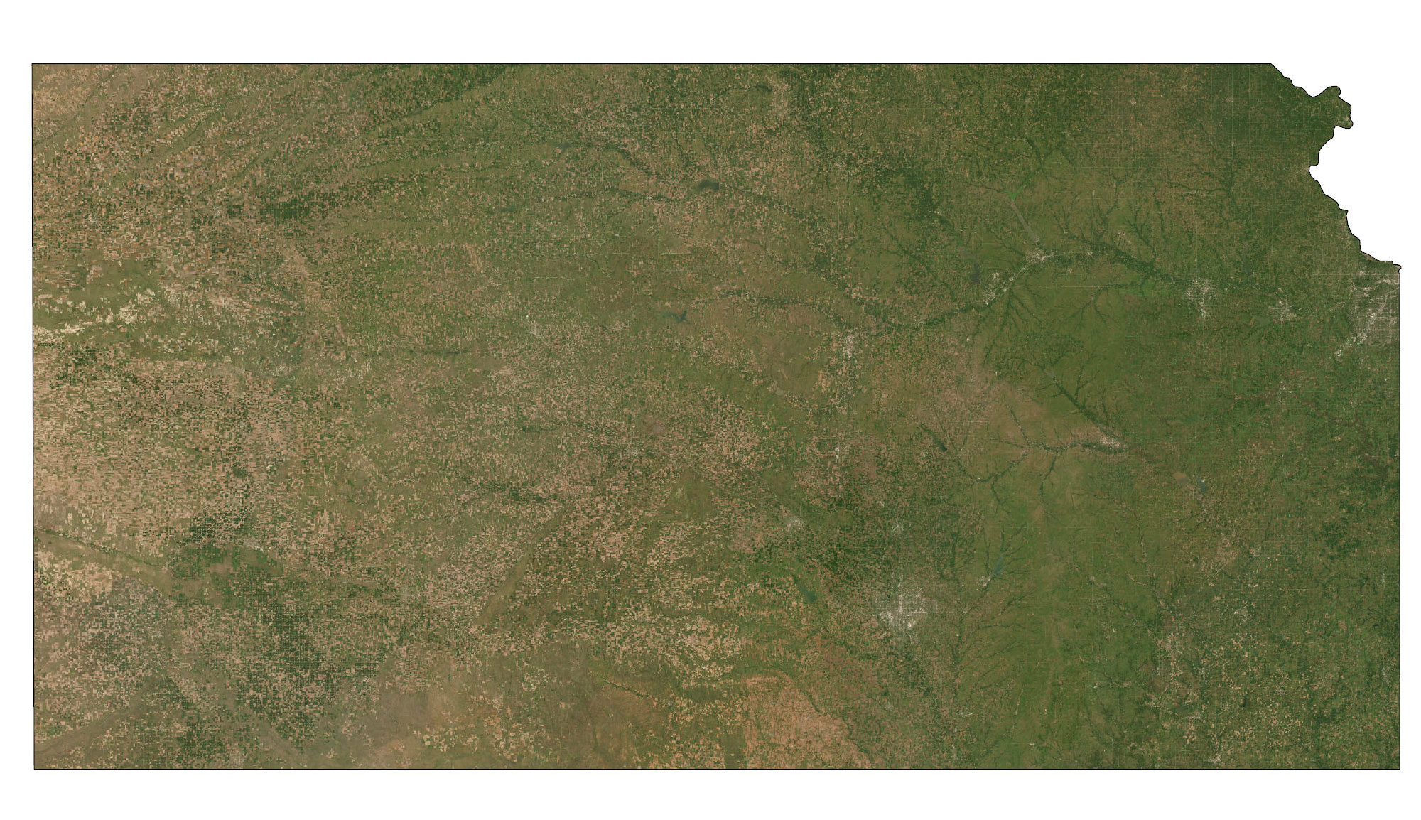
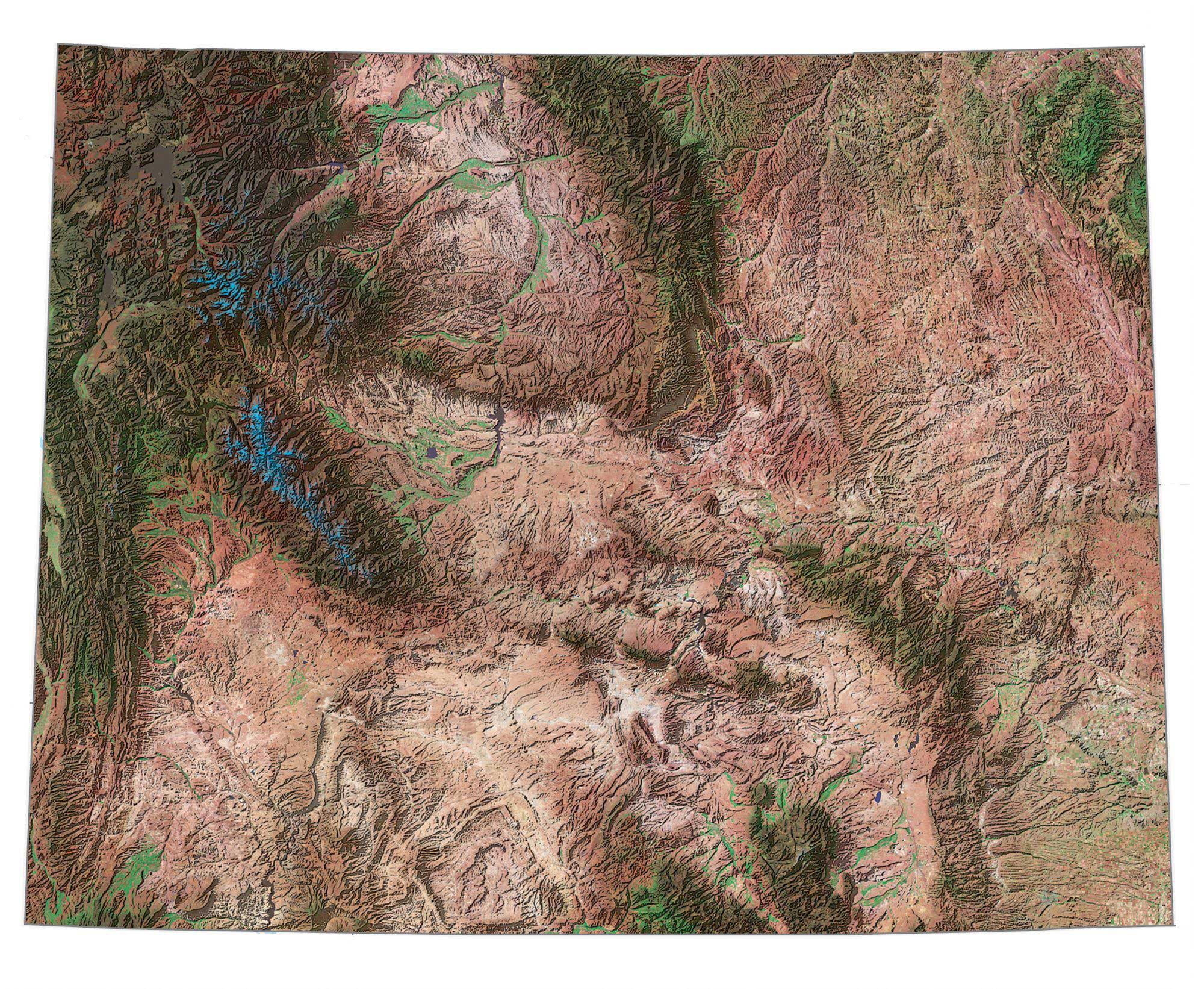
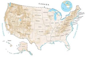
Satellite Map of the United States


Additional Resources
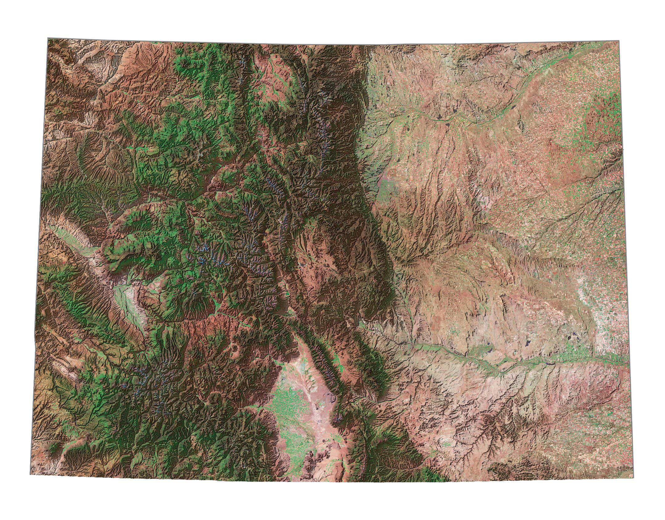
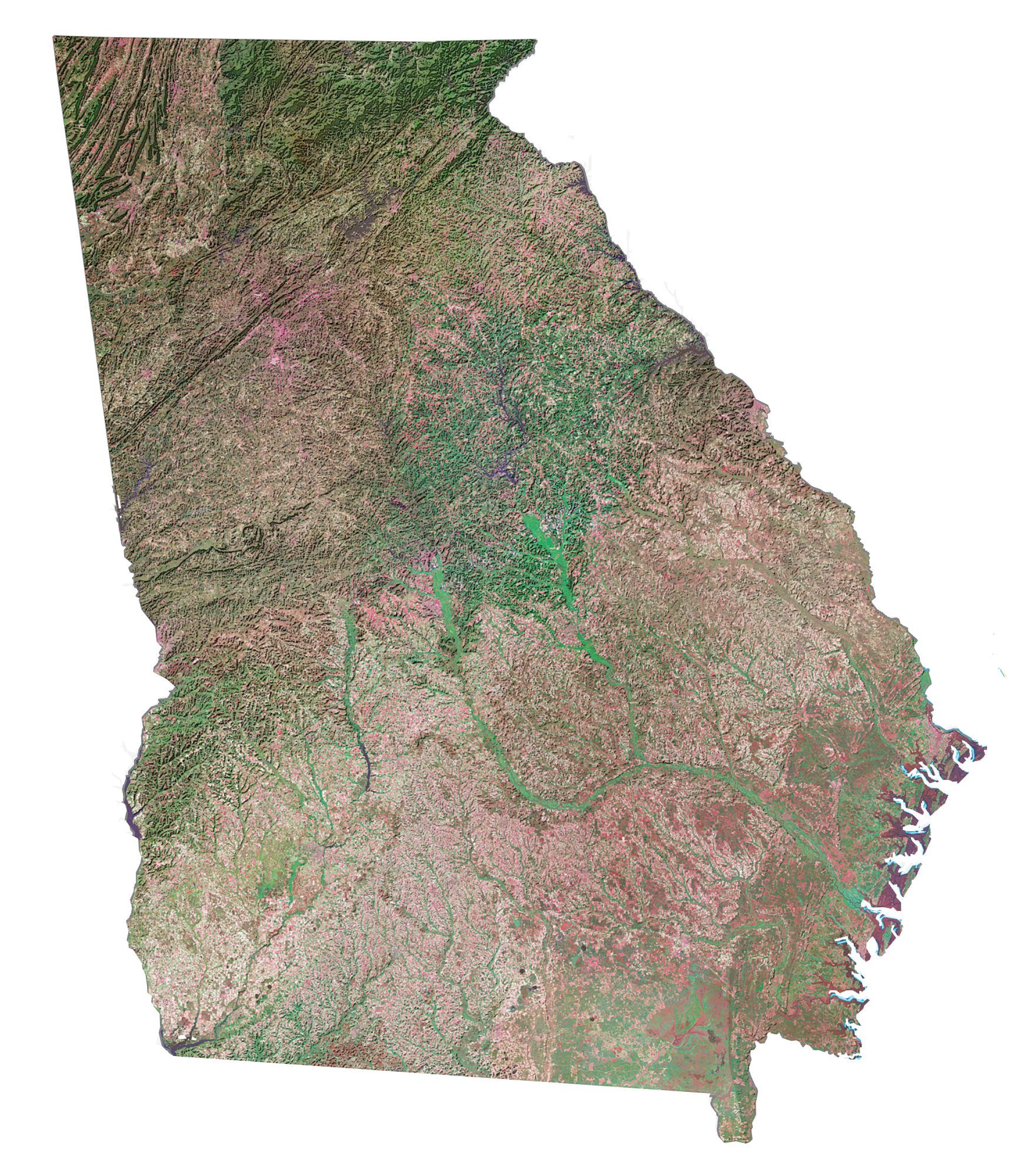
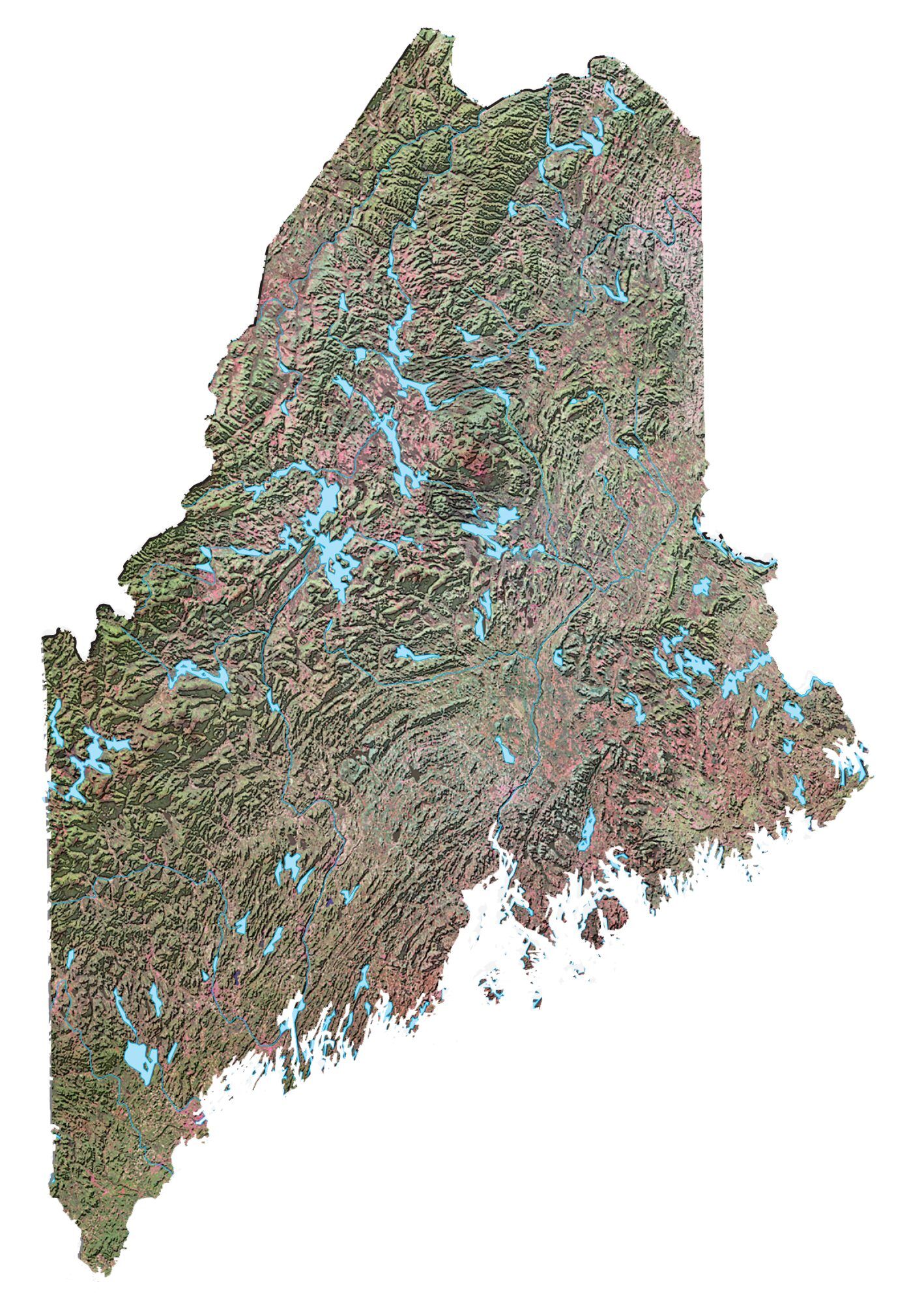
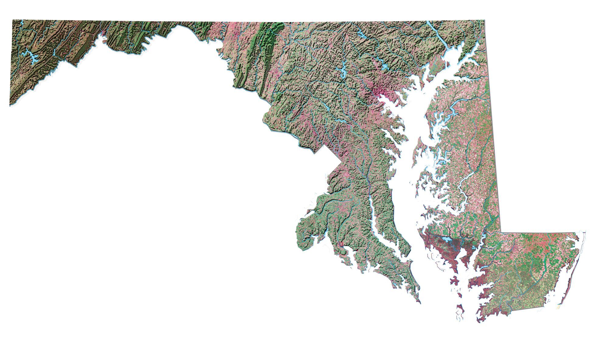
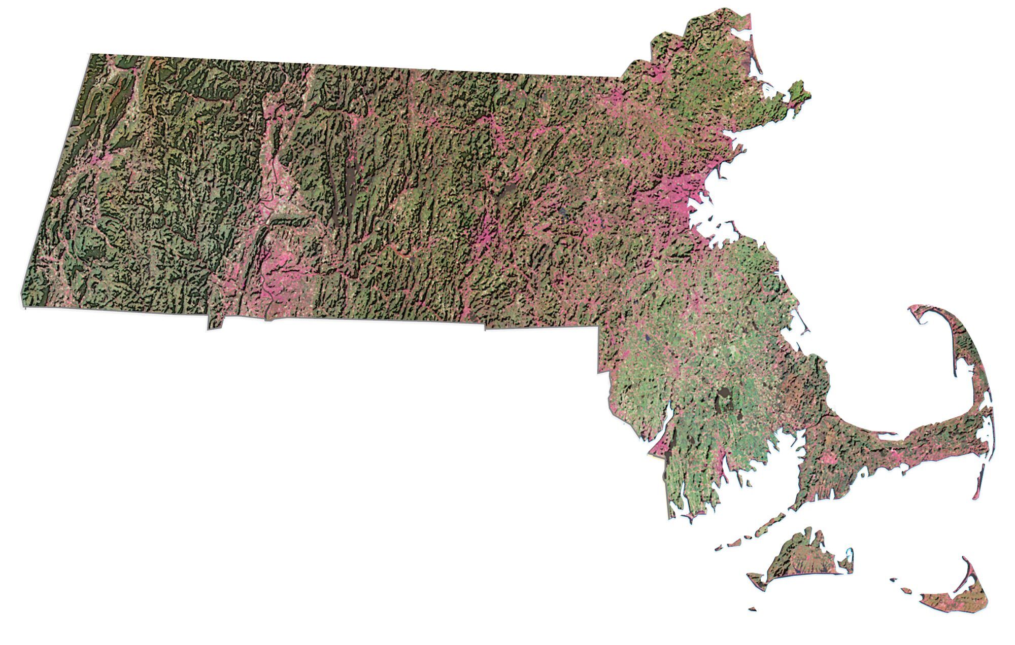
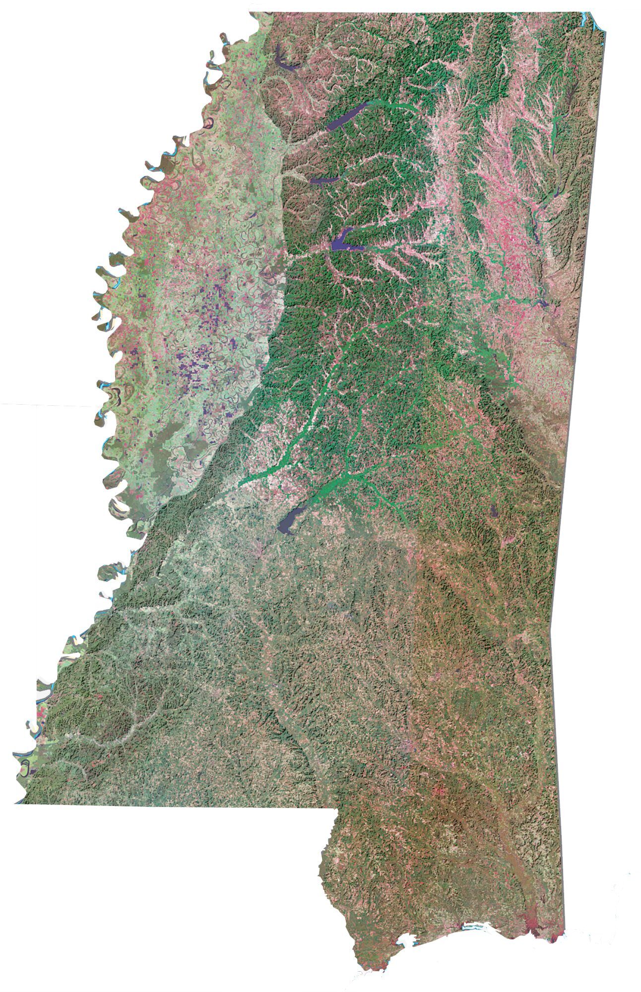
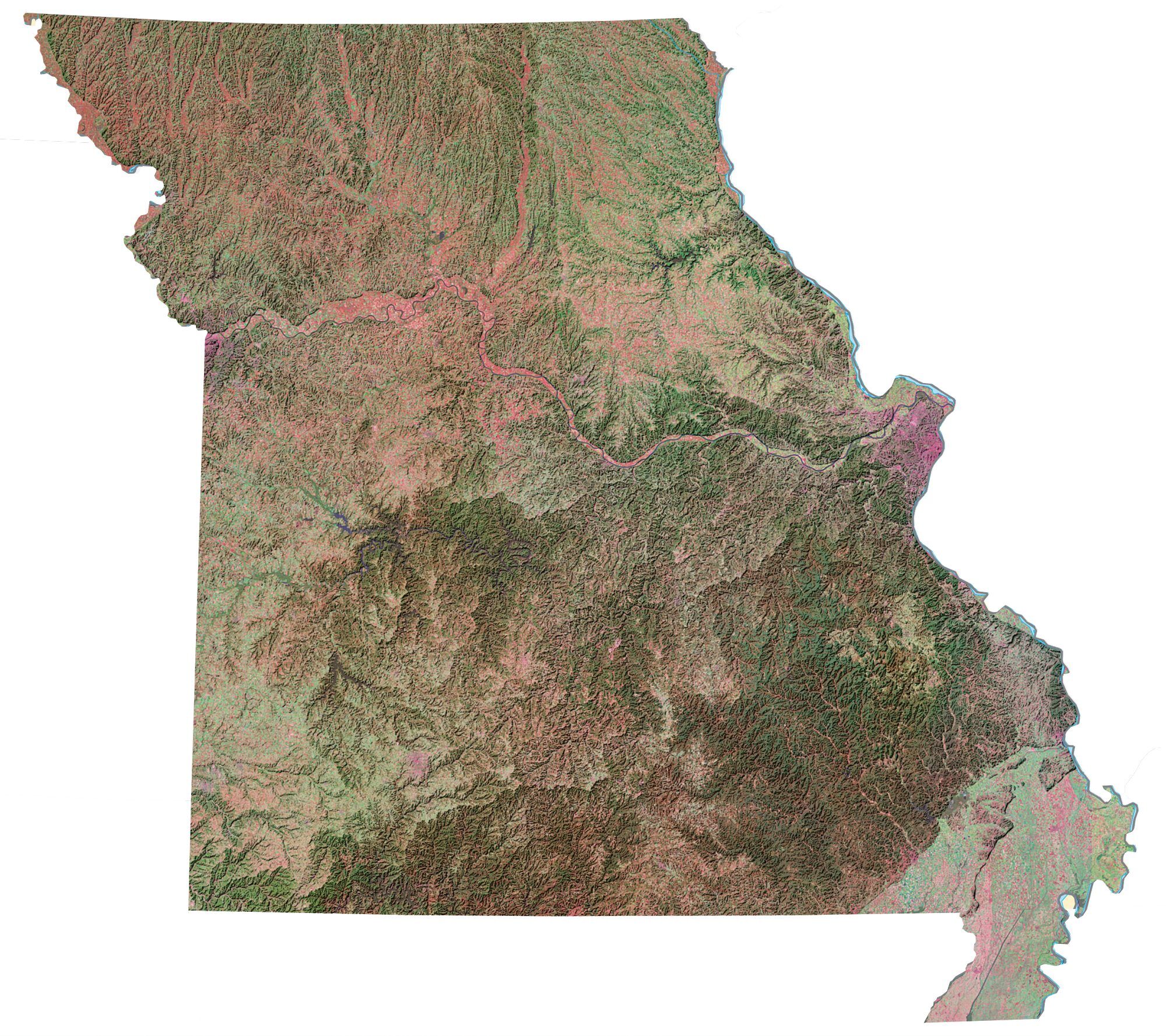
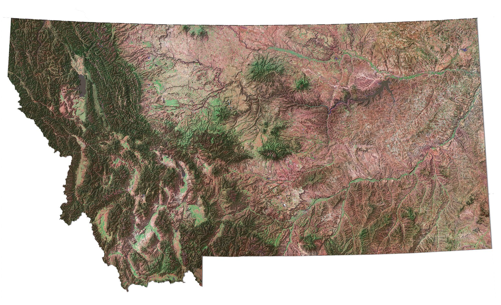
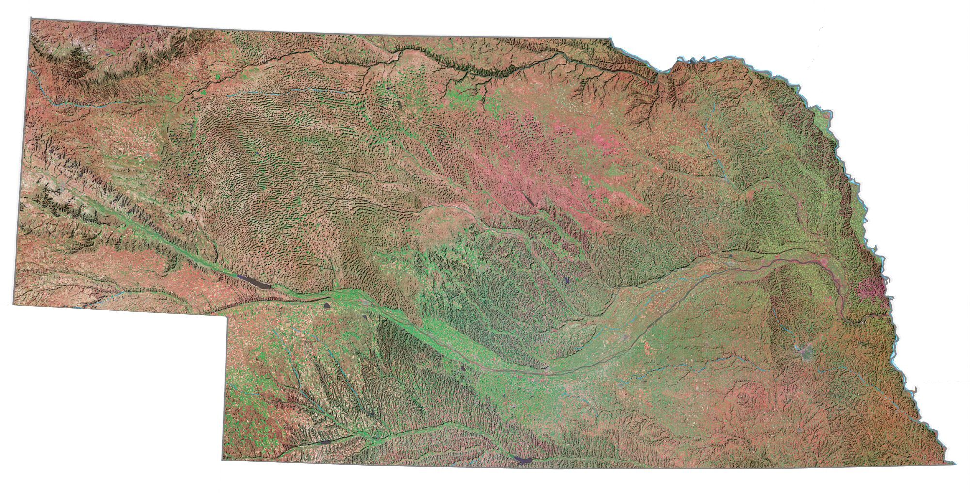
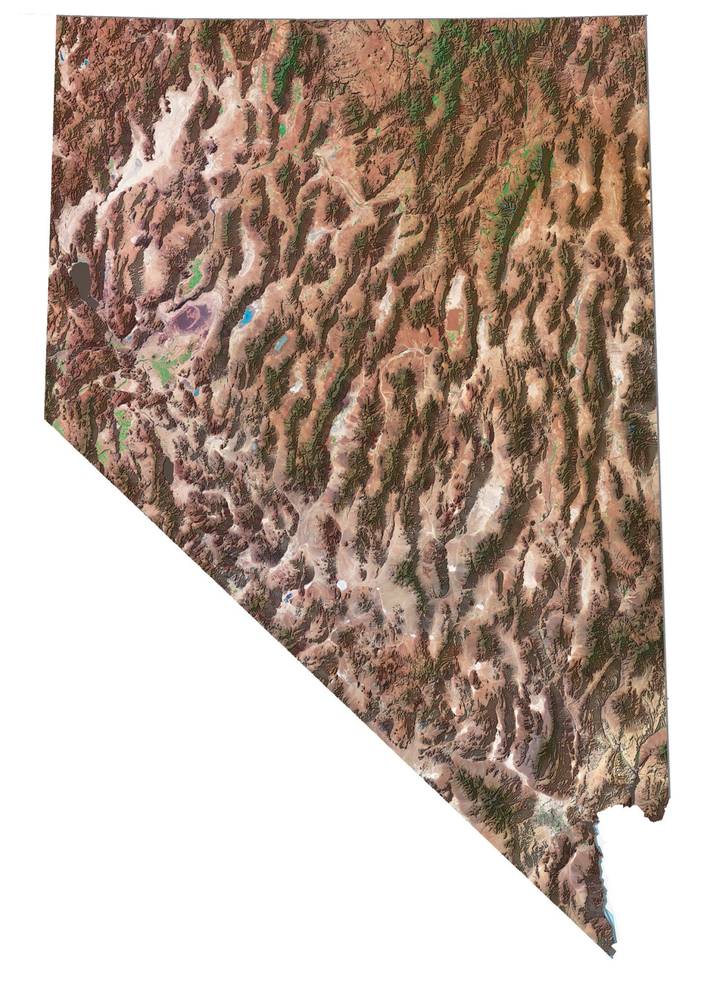
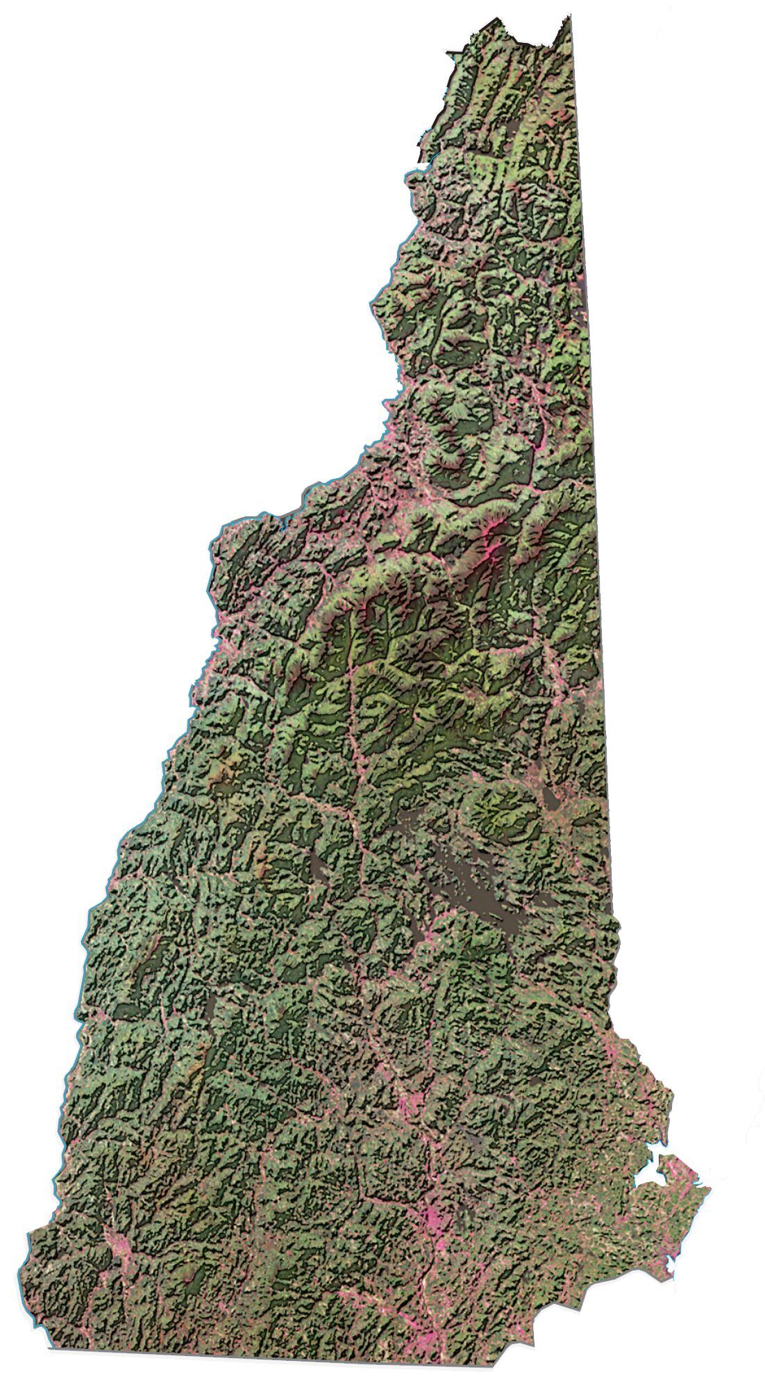
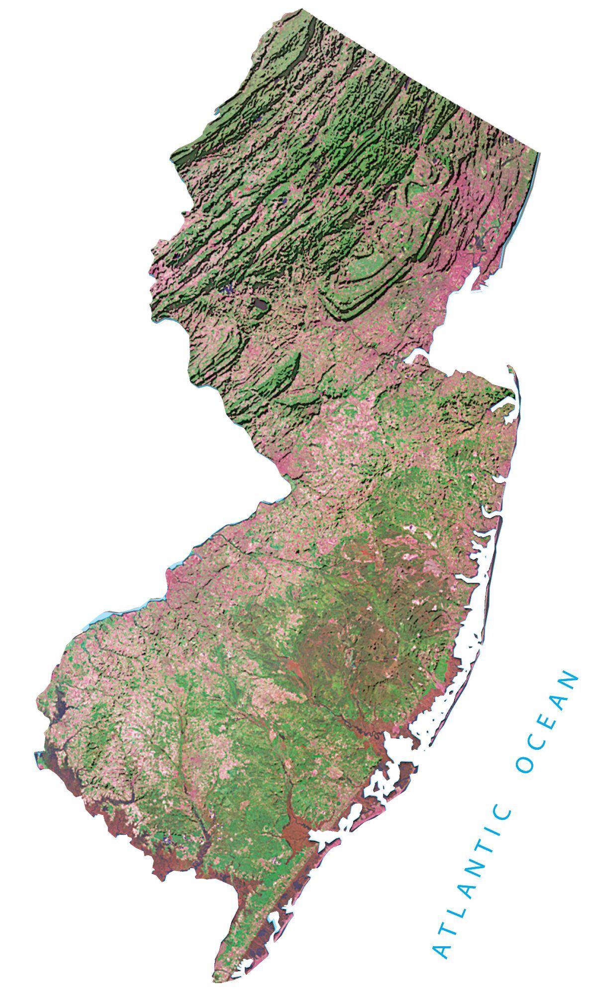
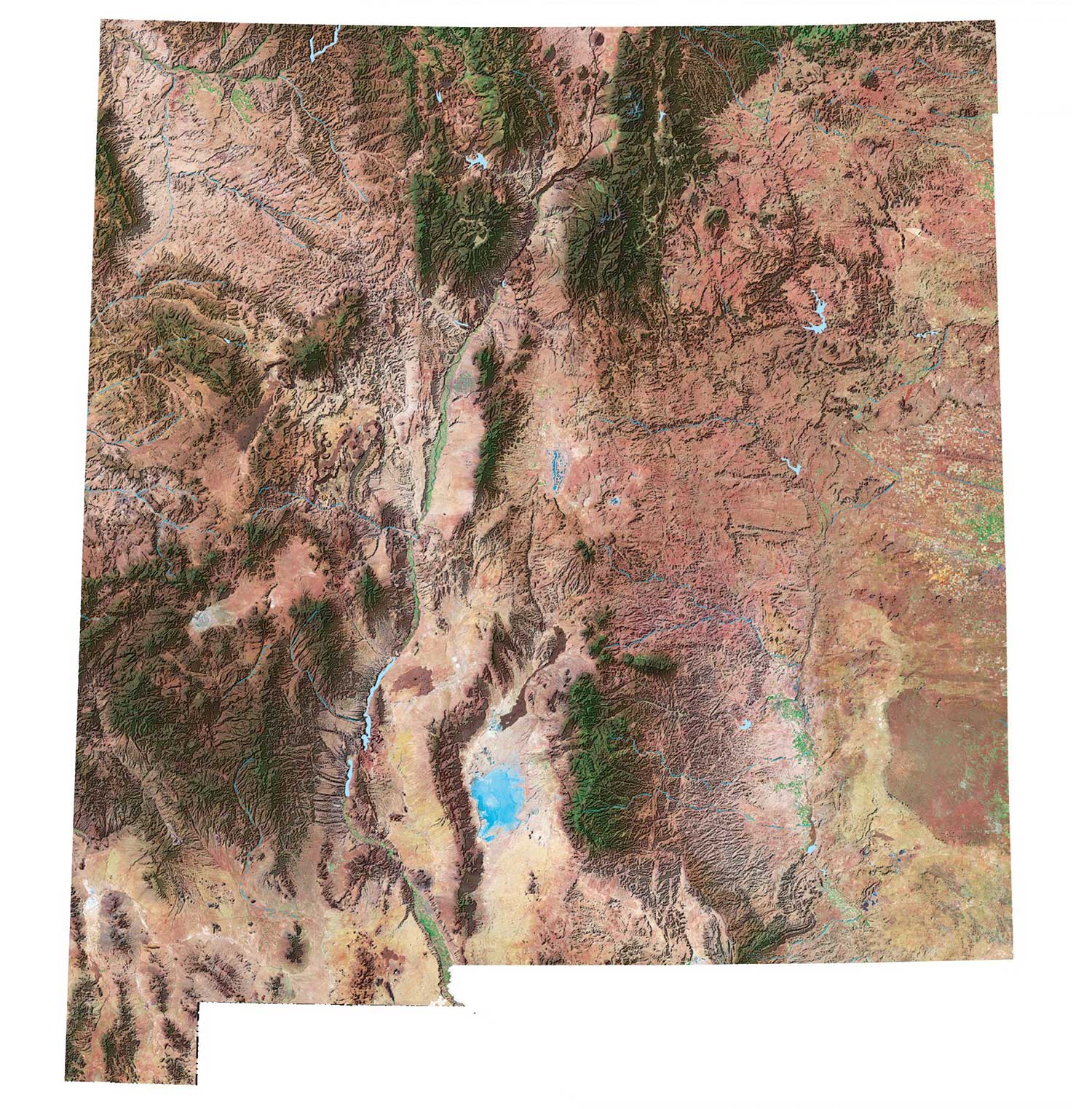
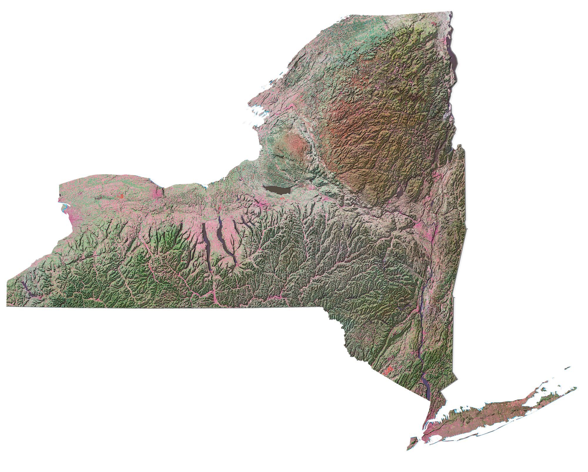
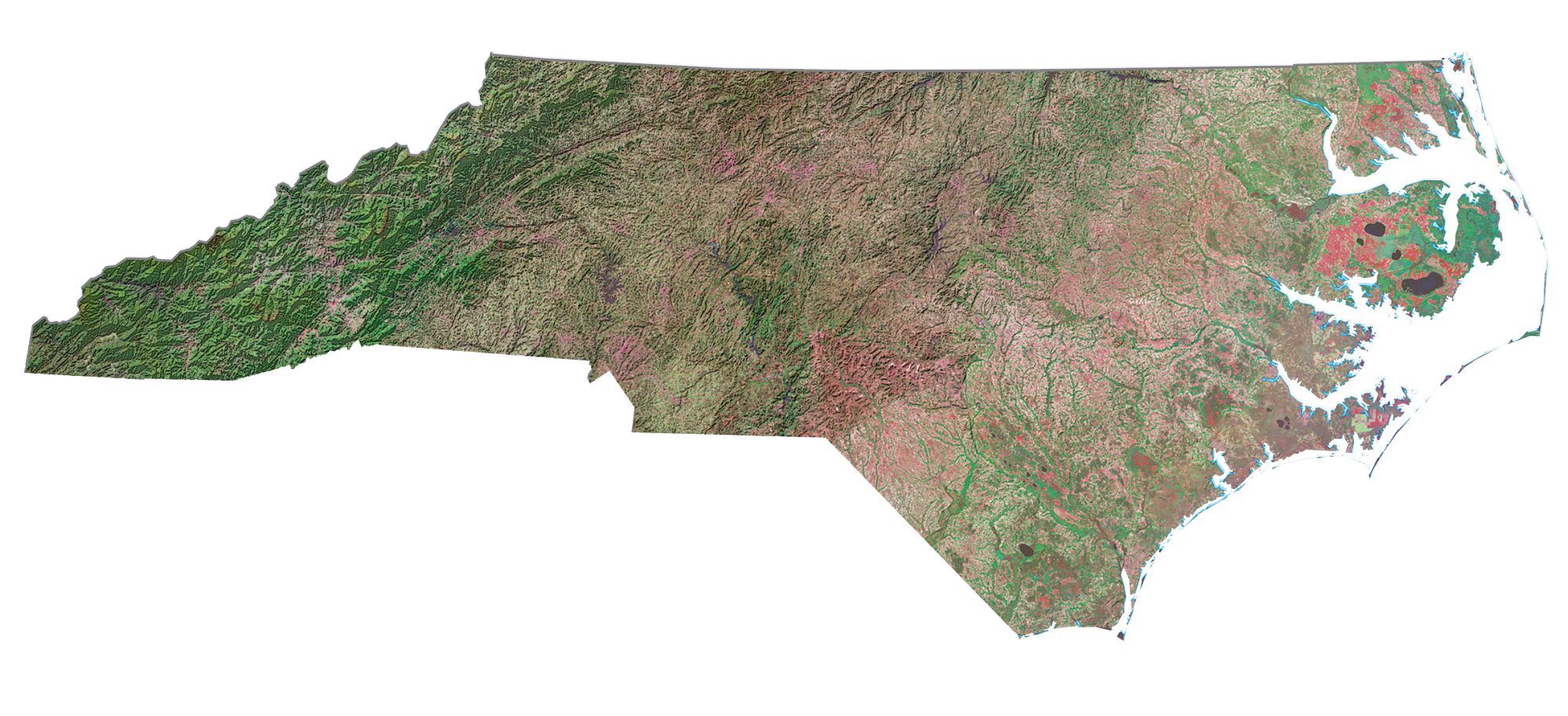
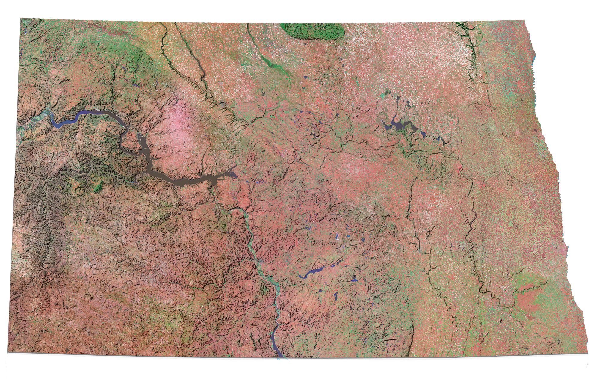
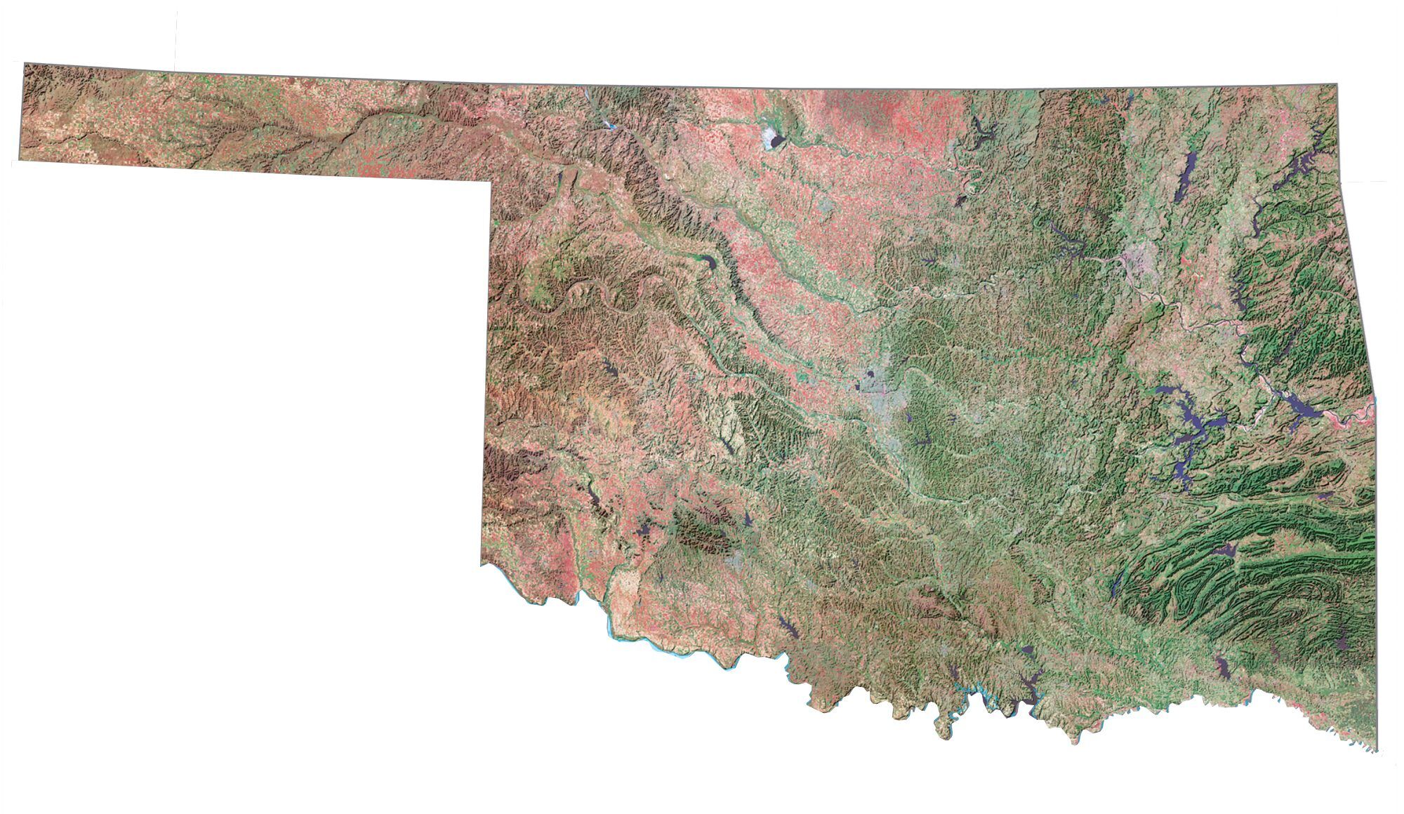
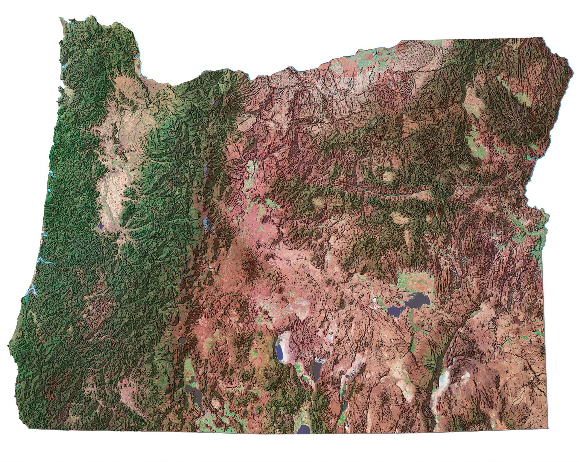
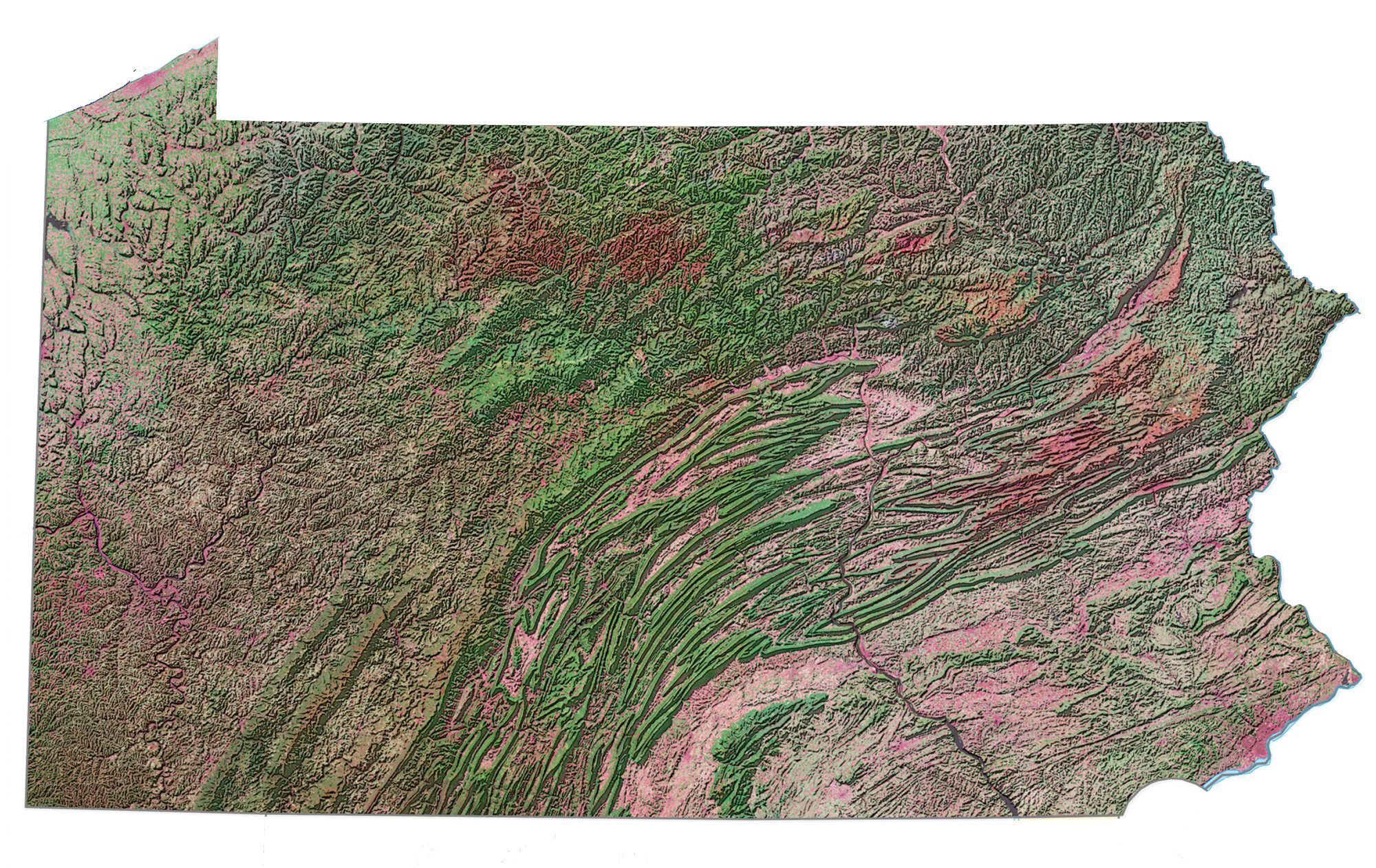
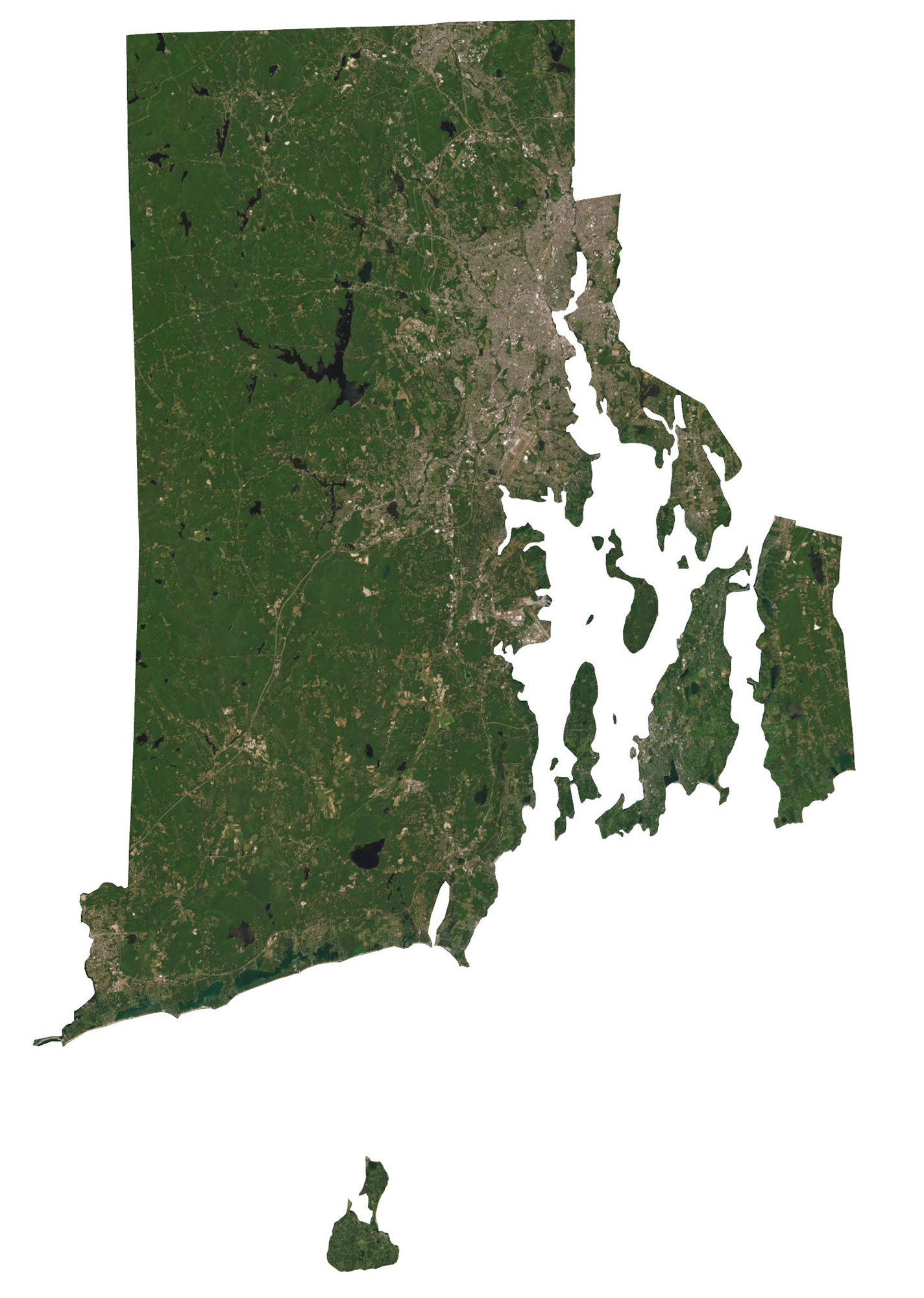
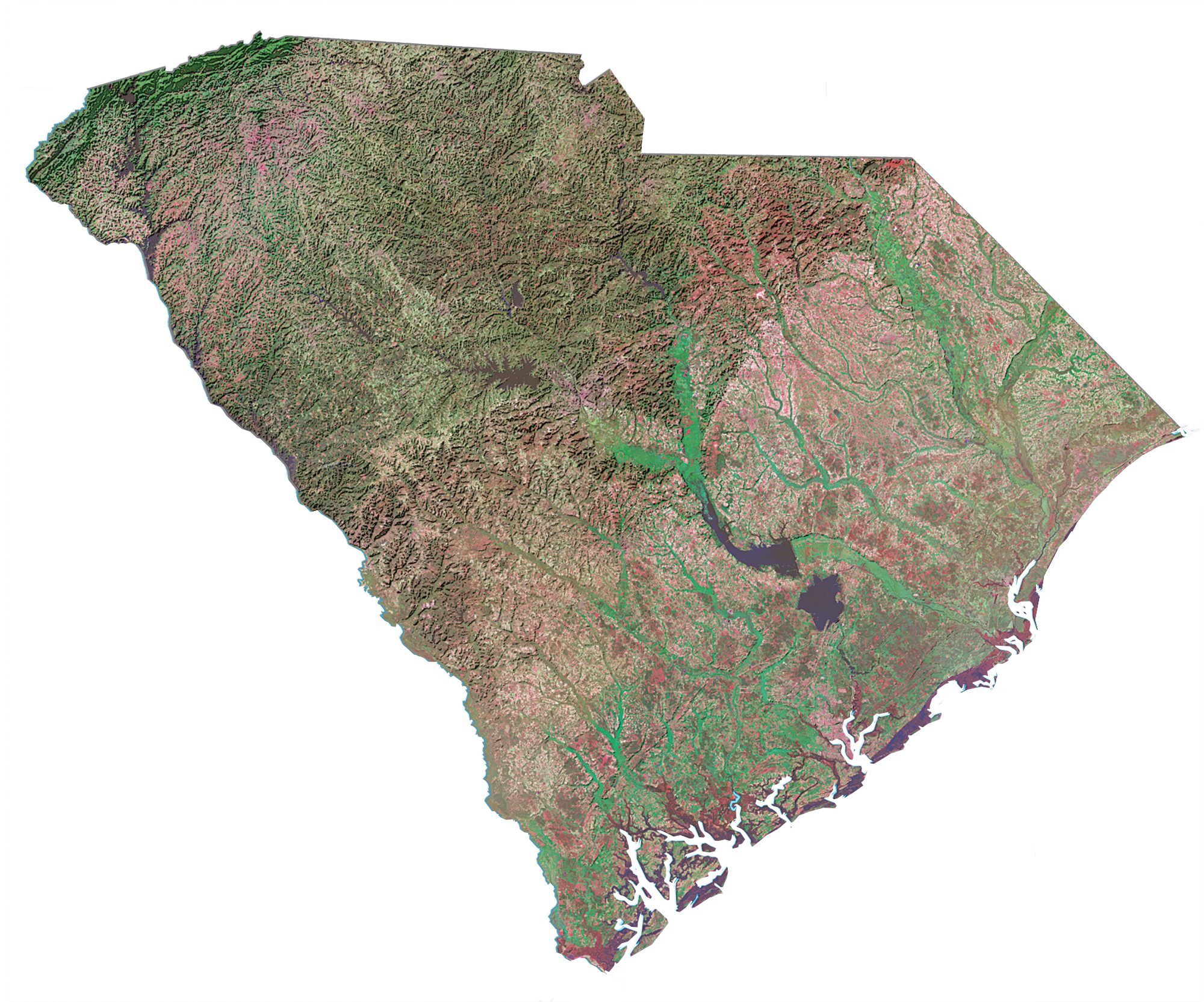
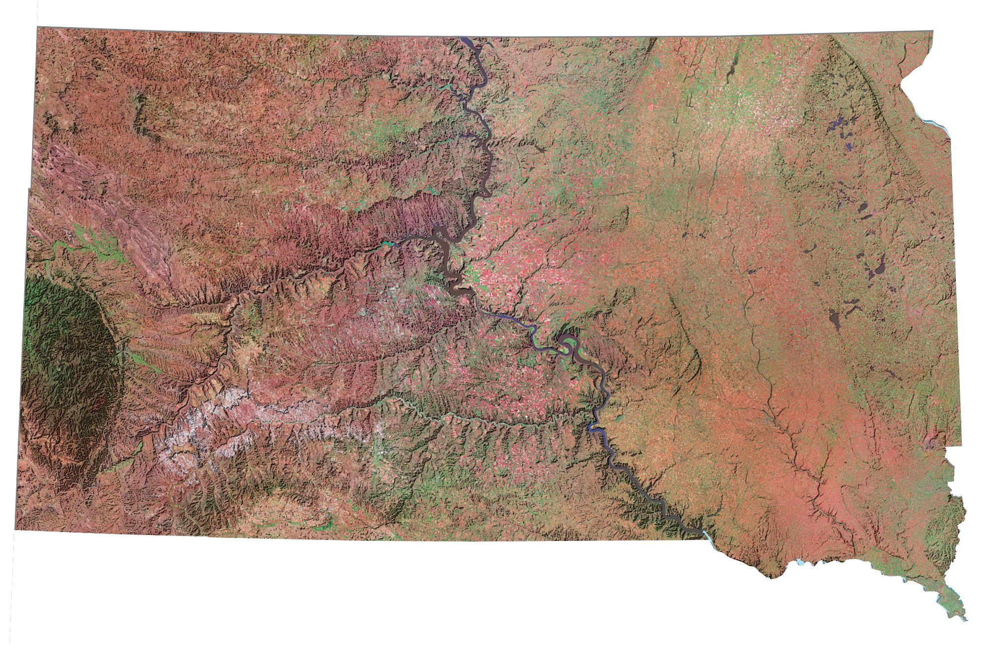
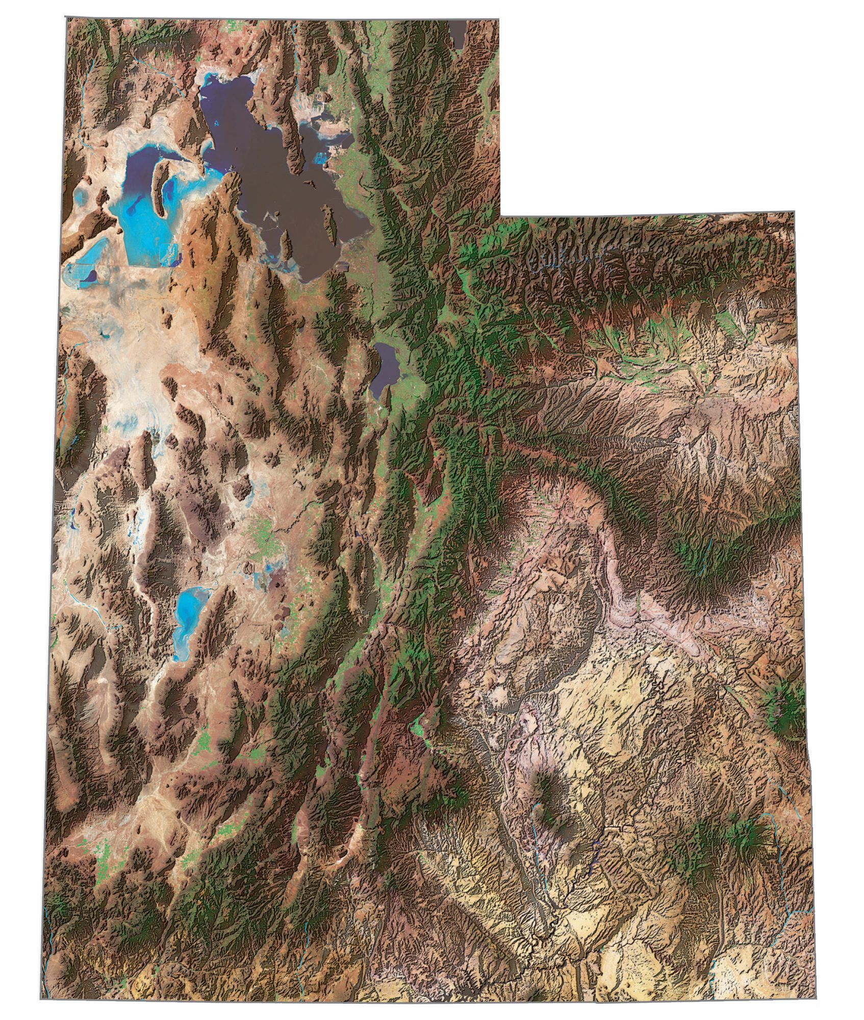
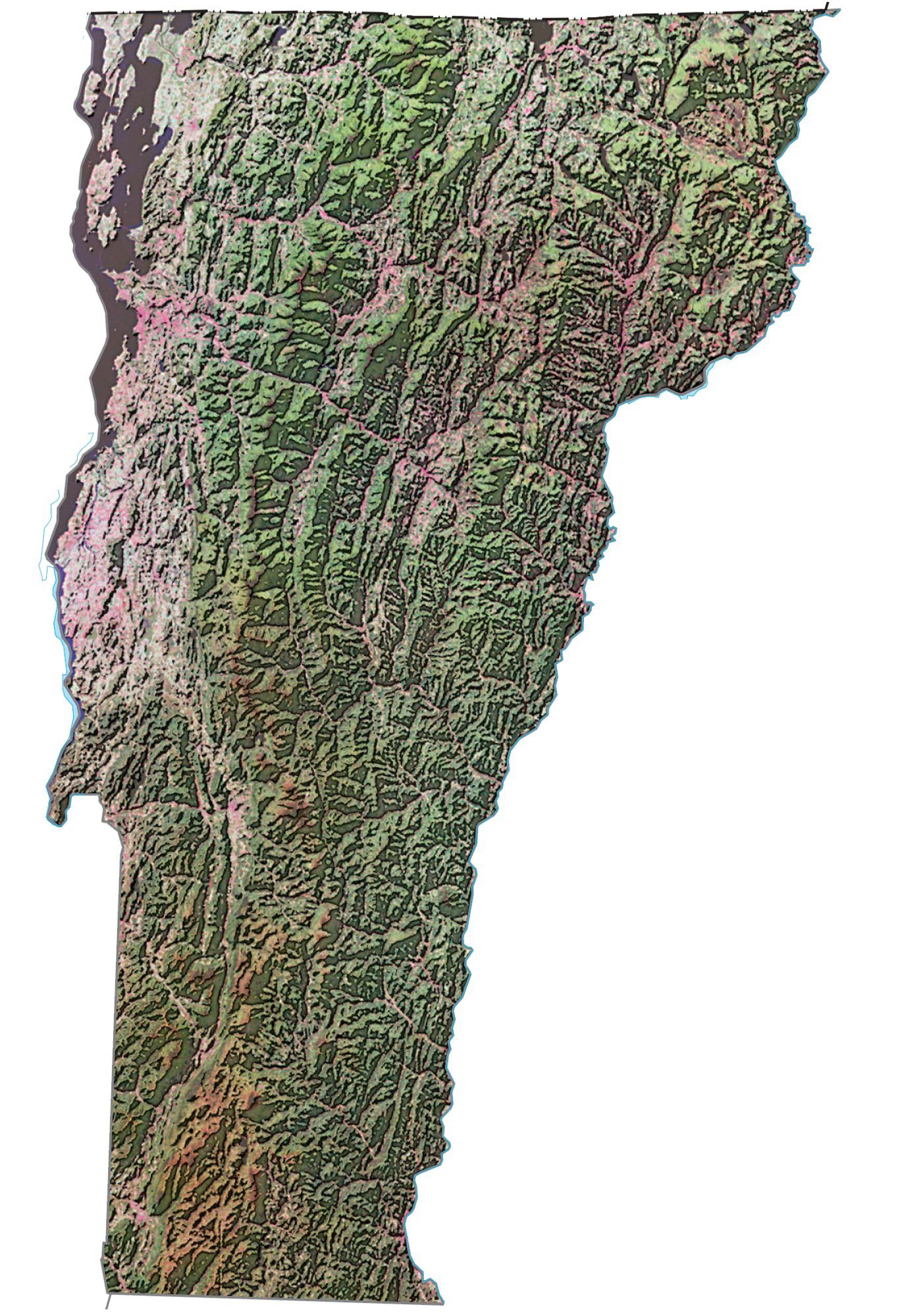
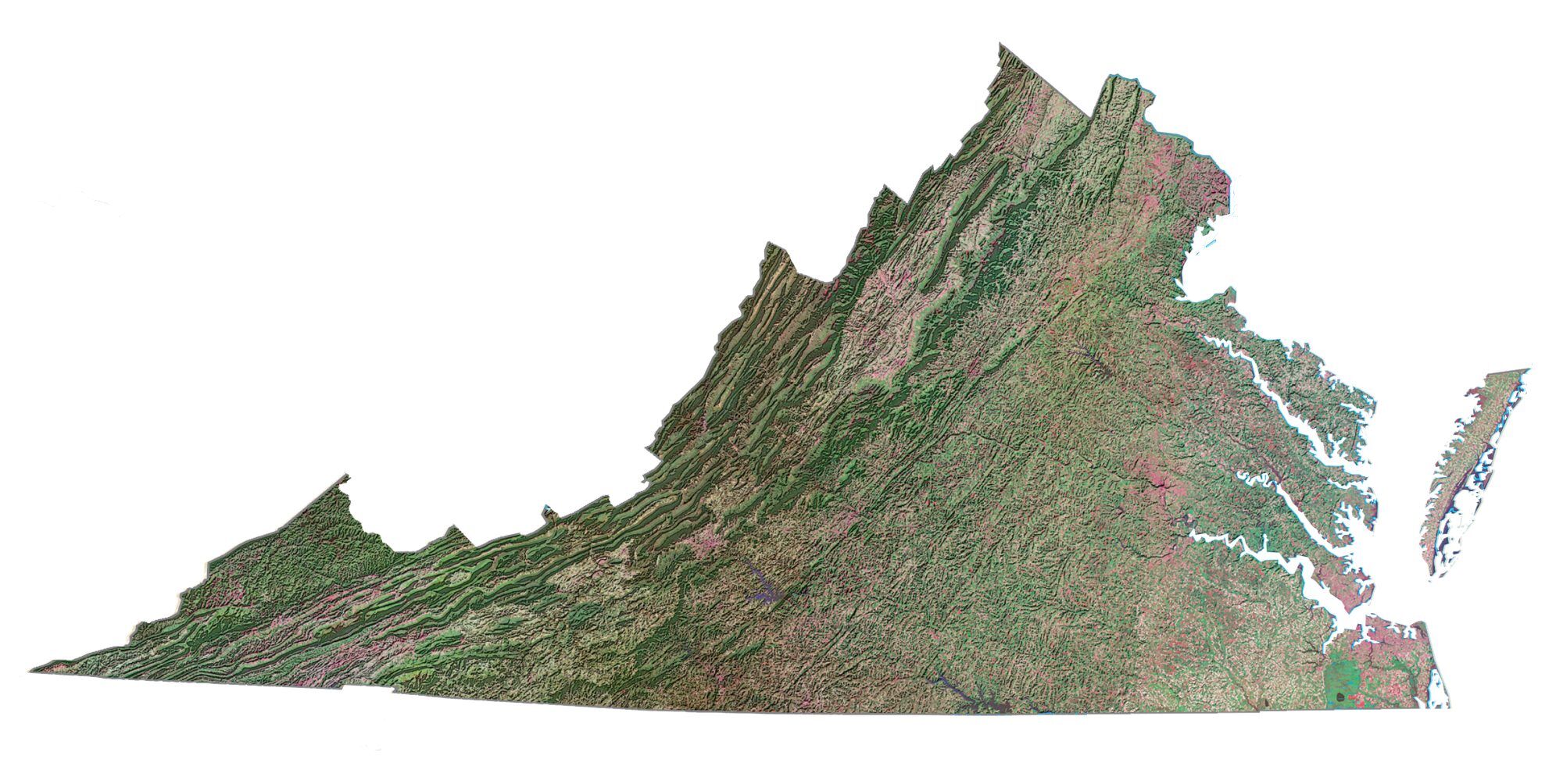
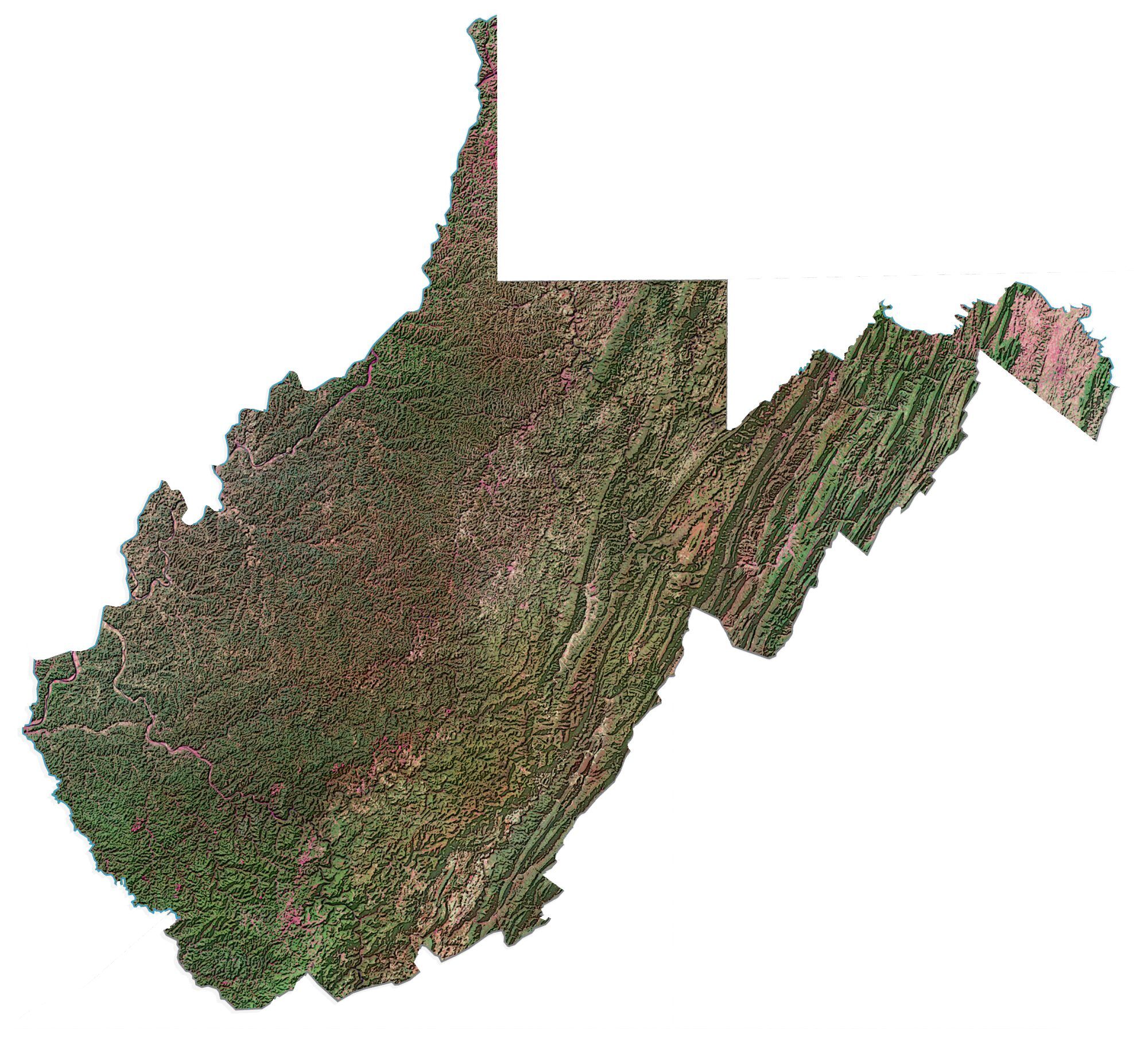
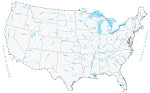
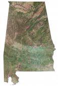
If you’re looking for additional satellite images for each state in America, USGS has created images using Tri-Decadal Global Landsat Orthorectified ETM+ Pan-Sharpened data. The USGS also has draped elevation data using the National Elevation Dataset (NED).
Landsat State Mosaics: USGS Landsat State Mosaics

Nice try, these are shaded relief maps that are generated with a program! You need to label these CORRECTLY!
now they added the missing states! :D
tysm
Thank you so much for this. Is there an overlay of state borders that fits the proportions/angles of the continental U.S. map you’ve provided?
No sorry, I don’t have this available.
Hi will you be adding any higher resolution images so they they look better on 4k monitors and screens?
Hi Mike. I don’t have any plans to add any higher resolution images for awhile. You can try some of the satellite imagery from Landsat from the USGS Earth Explorer
Janine-I’ll do my best to get them in here some time this year
Hello,
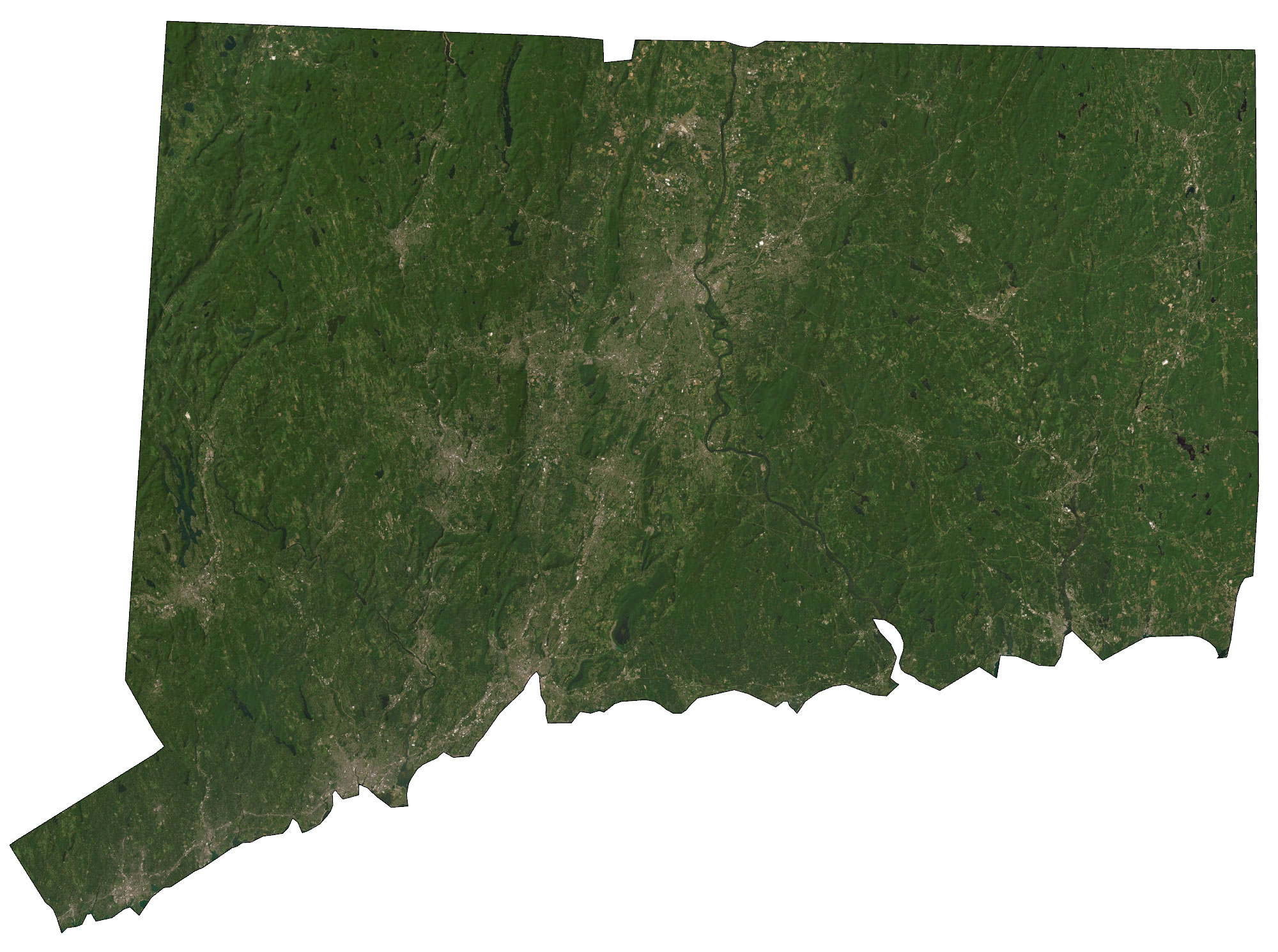
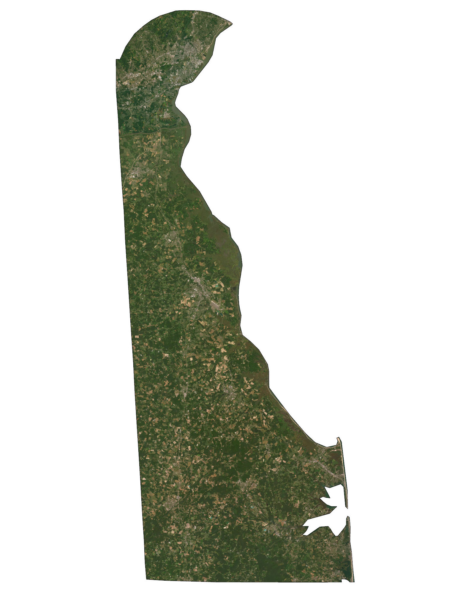
I miss Connecticut, Delaware, Kansas and Rhode Island. Will they be making an appearance?
Thanks